We're planning a trip back to Montana for next month and going through old TR's got the stoke going, so I figured it was worth posting it up here - looks like I never posted it here earlier. We will be hitting a couple of these rides again. Posting up unedited TR, so ignore references to timing and dates.
Day 1 - Driving up & First Yellow Mule Tr
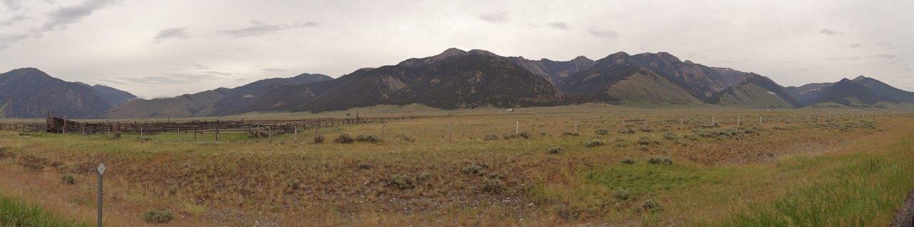
A couple months ago 406 began planning a trip to his old stomping ground, Montana, along with a side trip to Jackson WY. In the end six of us made the trip to Grizzly country. Gman, Kreechan and I headed out on Friday while 406, Basil and AndyN drove up on Saturday. Our meeting place was just south of Big Sky and would be our base camp for the next 5-6 days.
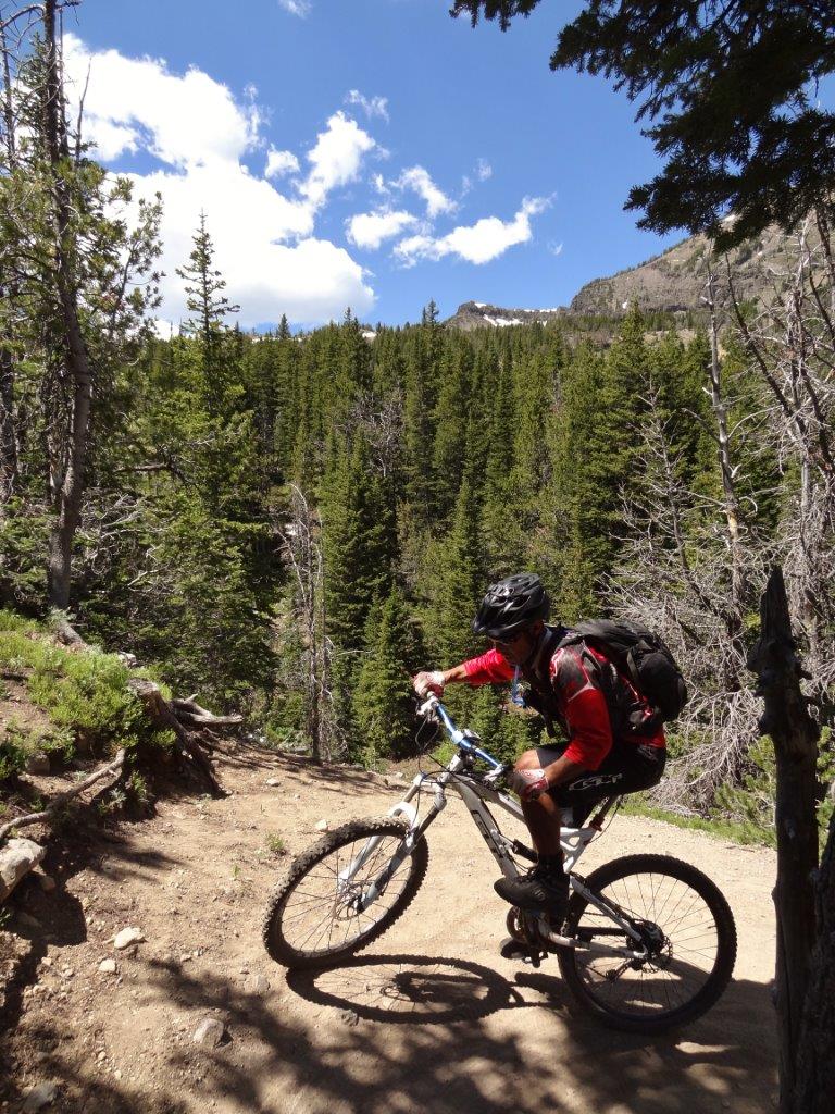
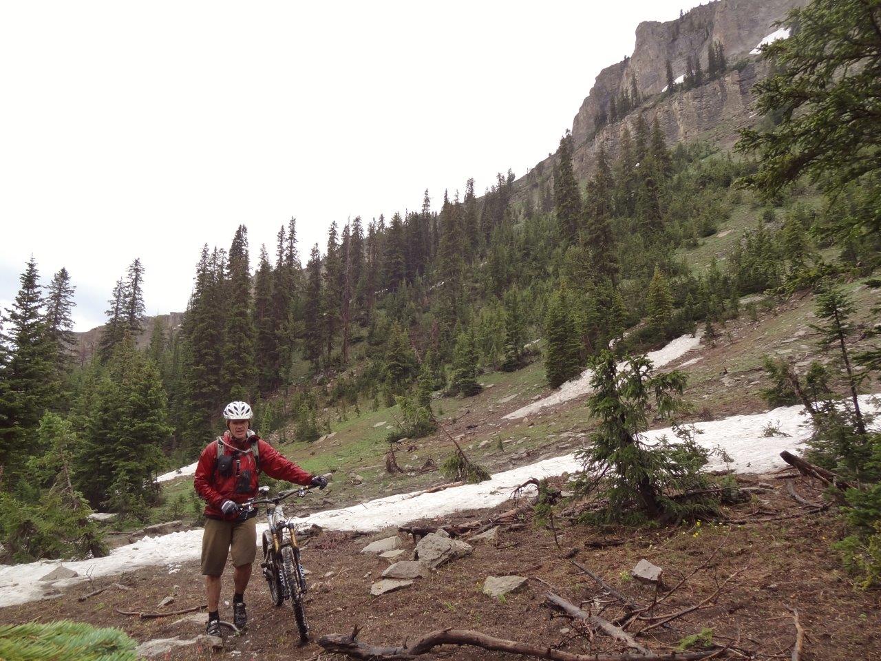
Team tacoma drove through the night in hopes of getting a ride in on Saturday. 406's parents had nabbed a campsite at Red Cliffs campground which was central to some of the rides we wanted to do. We got there early afternoon, set up tents, and set off for our first ride up Buck Ridge to First Yellow Mule Trail. We weren't paying enough attention to the guidebook and ended up turning the suggested 13mi point to point / shuttle into a 36mi loop. Fortunately sunset wasn't until 915pm, so we had more than enough time.
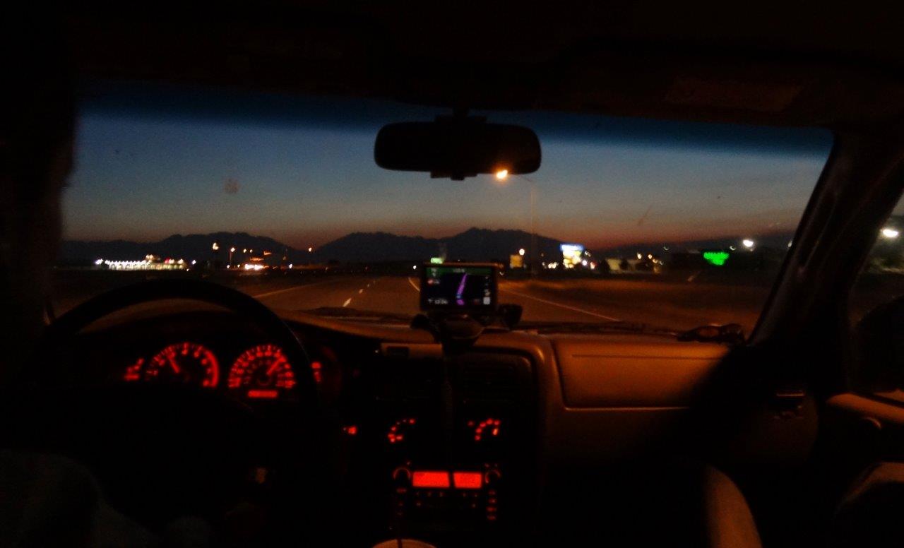
430am driving through Salt Lake City
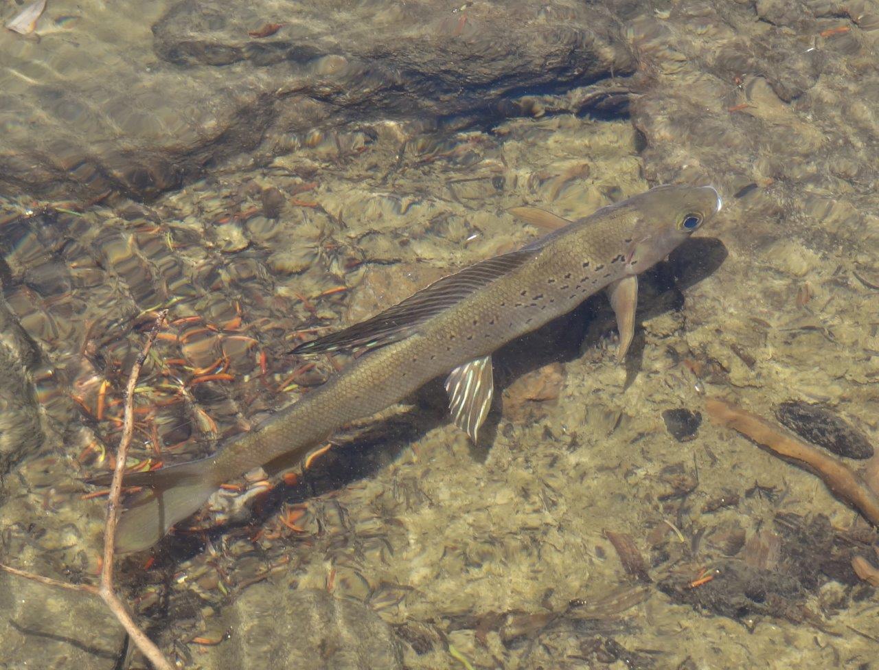
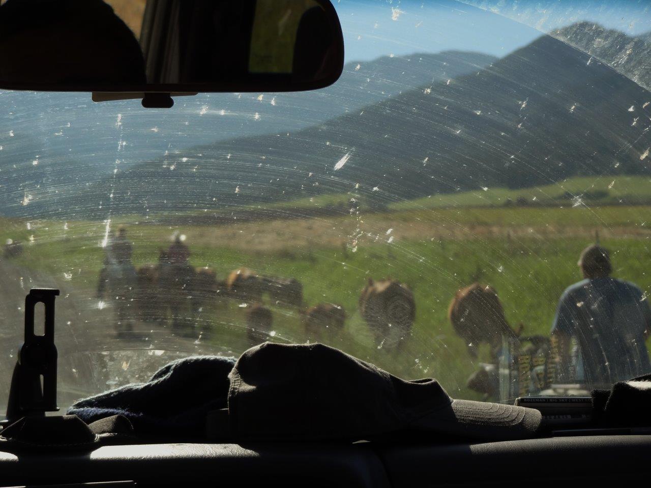
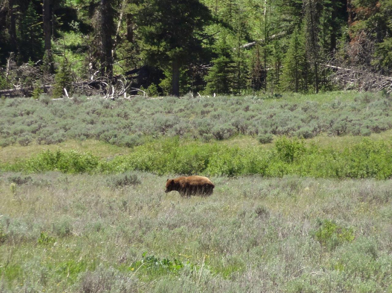
First wildlife spotted on the drive through Yellowstone
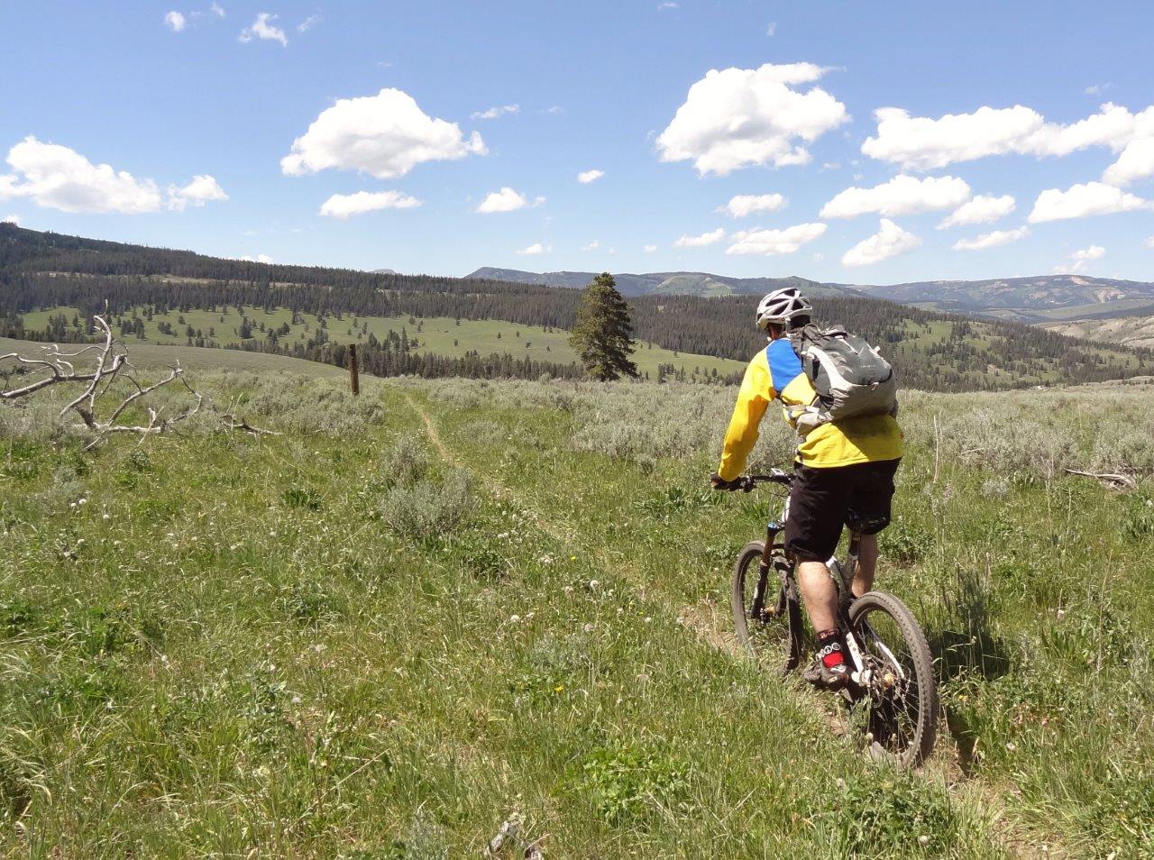
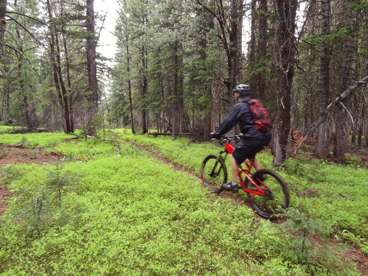
Sounds like most shuttle the 10mi road climb. It wasn't a bad grade and the views were good, so it went quickly
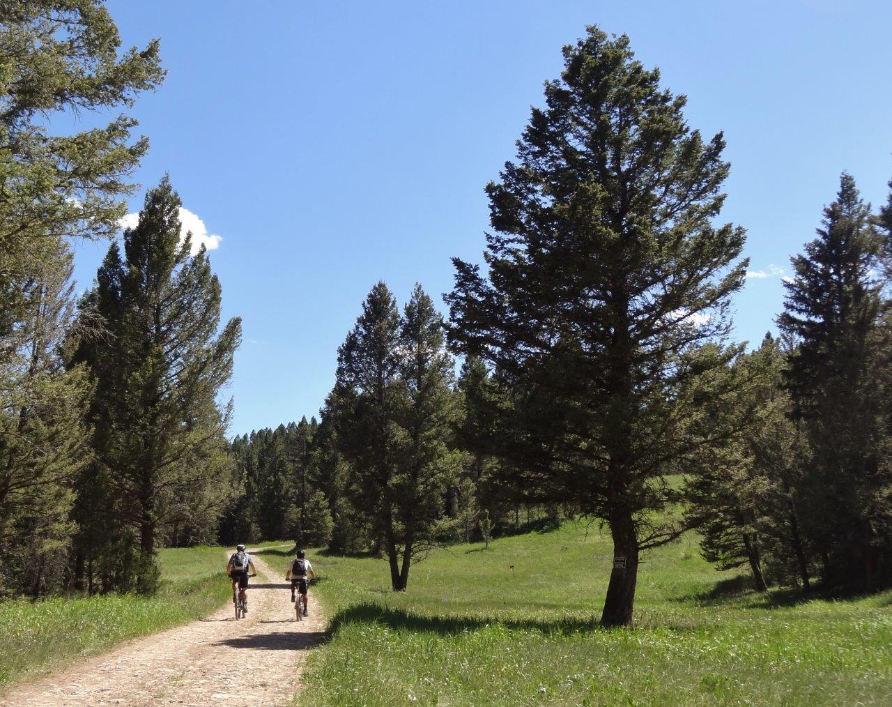
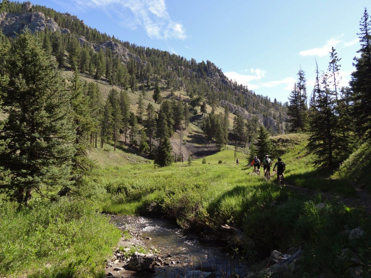
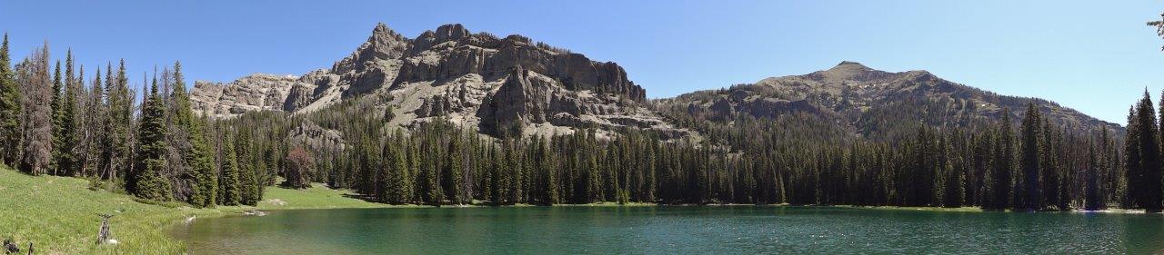
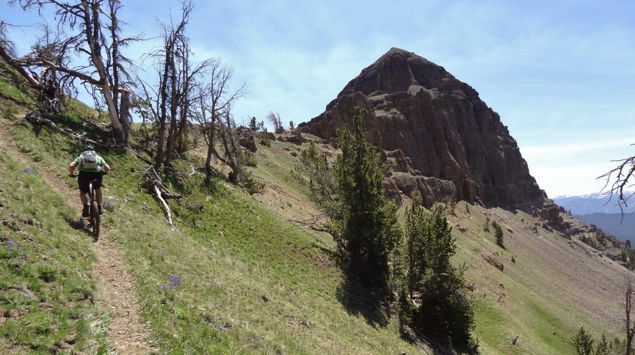
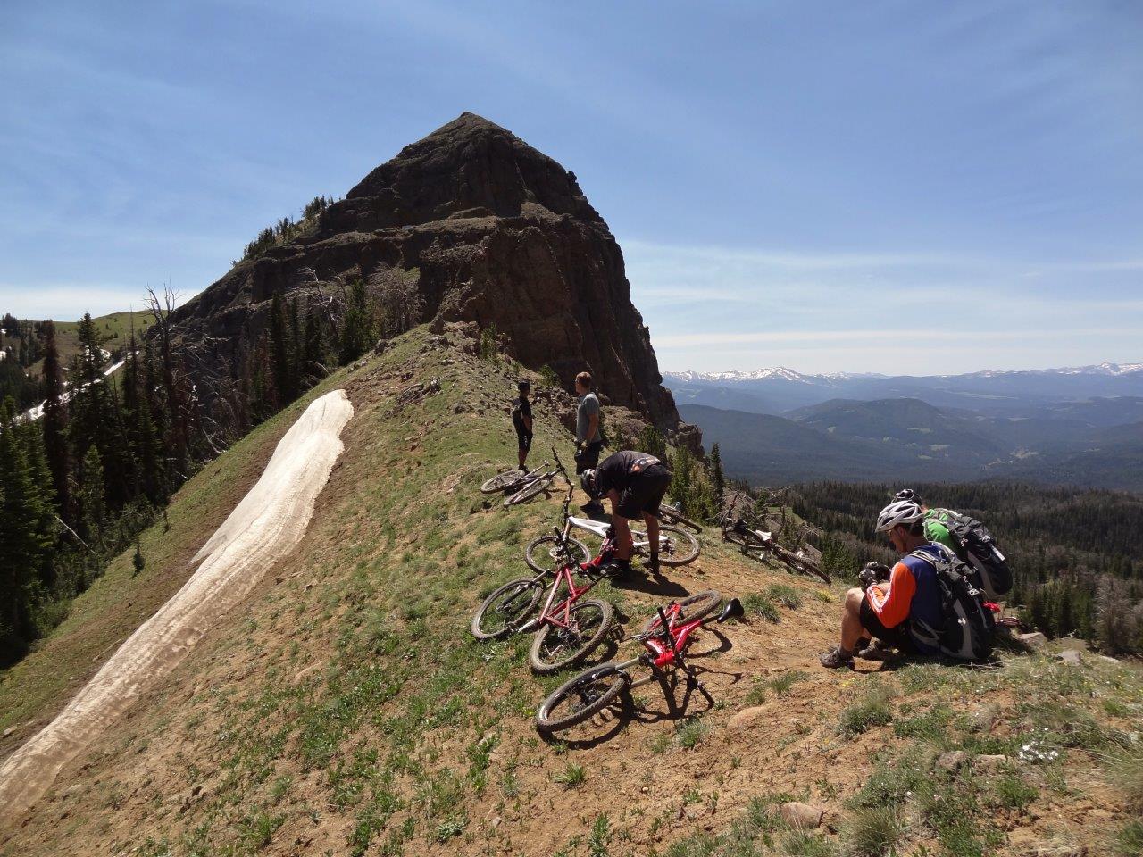
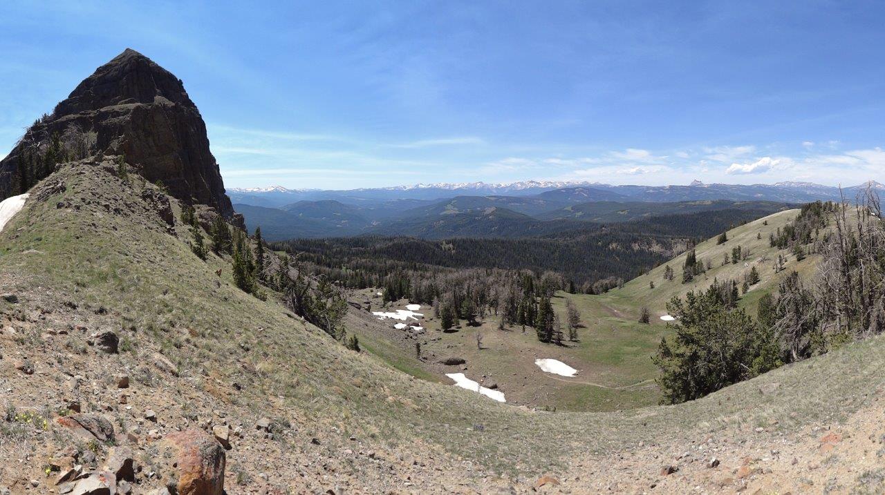
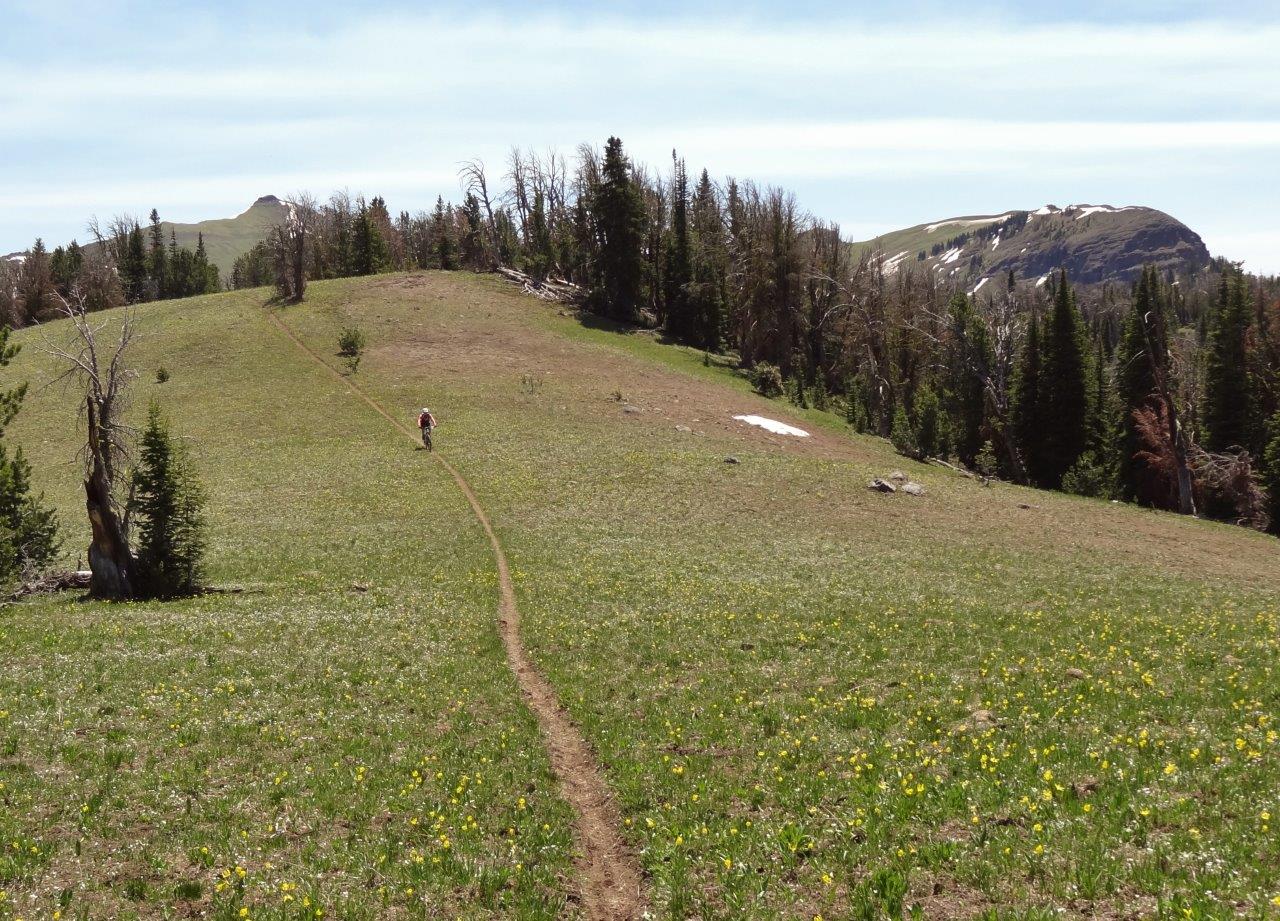
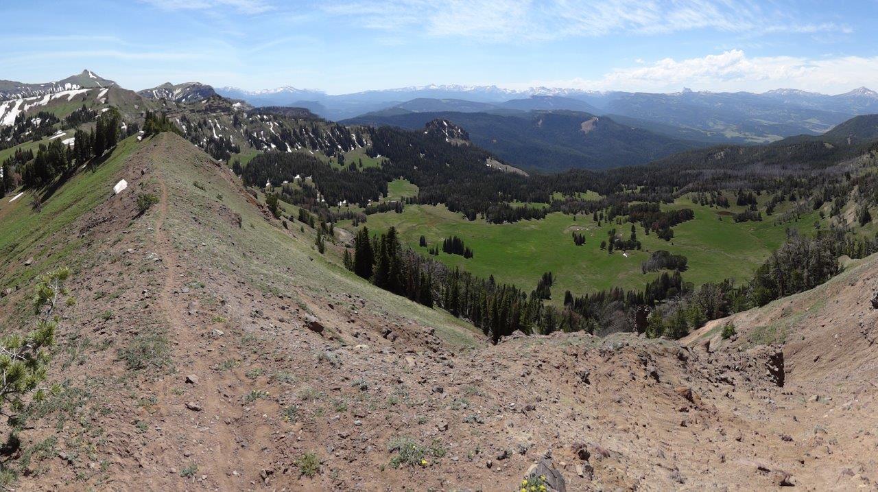
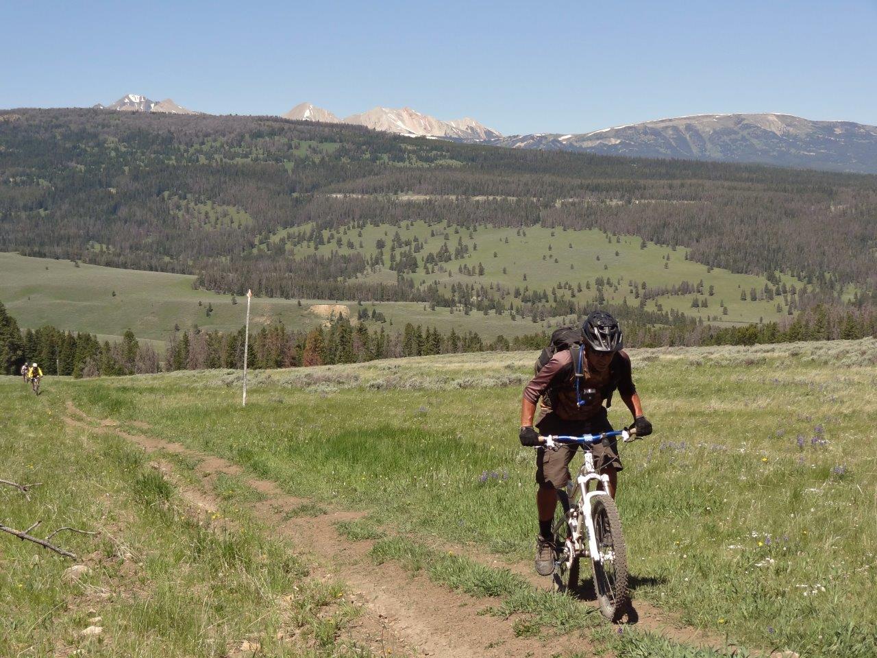
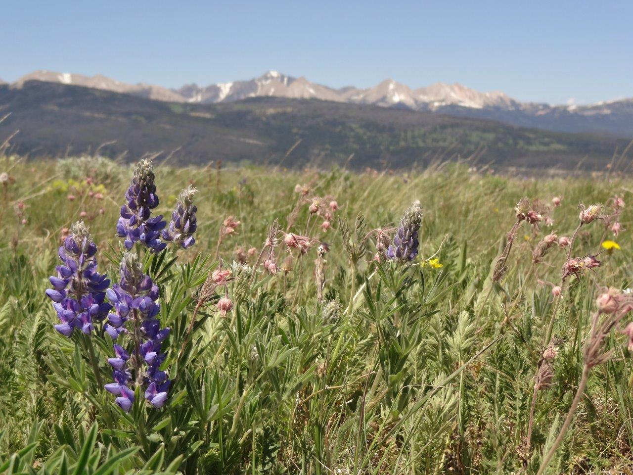
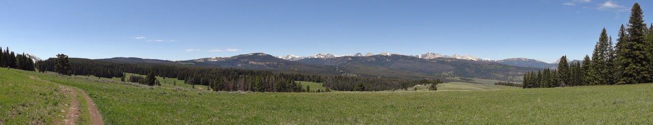
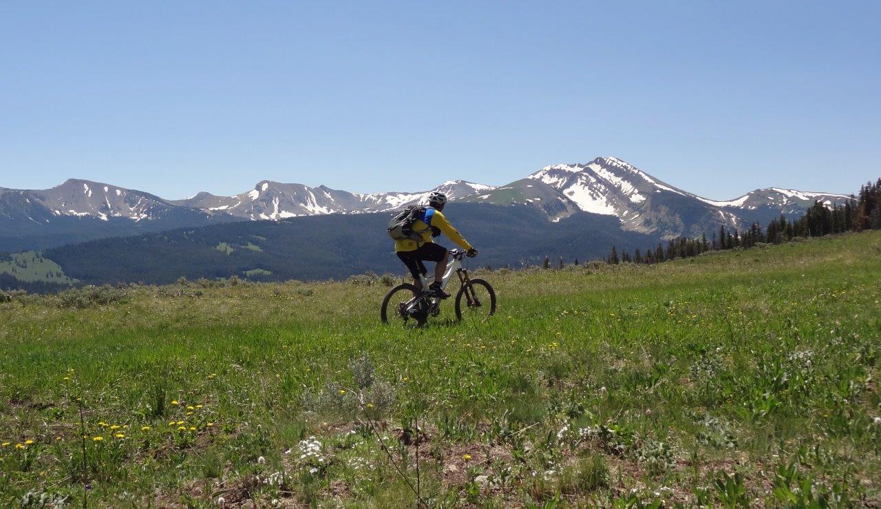
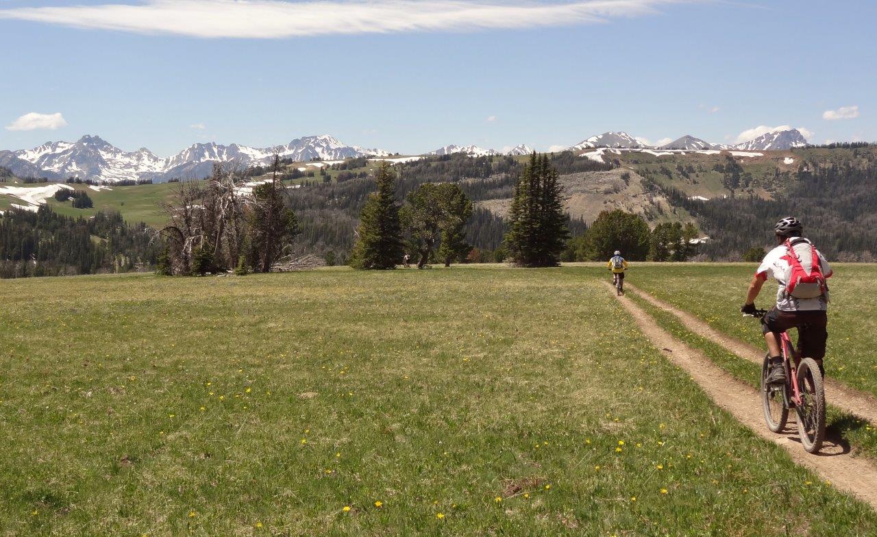
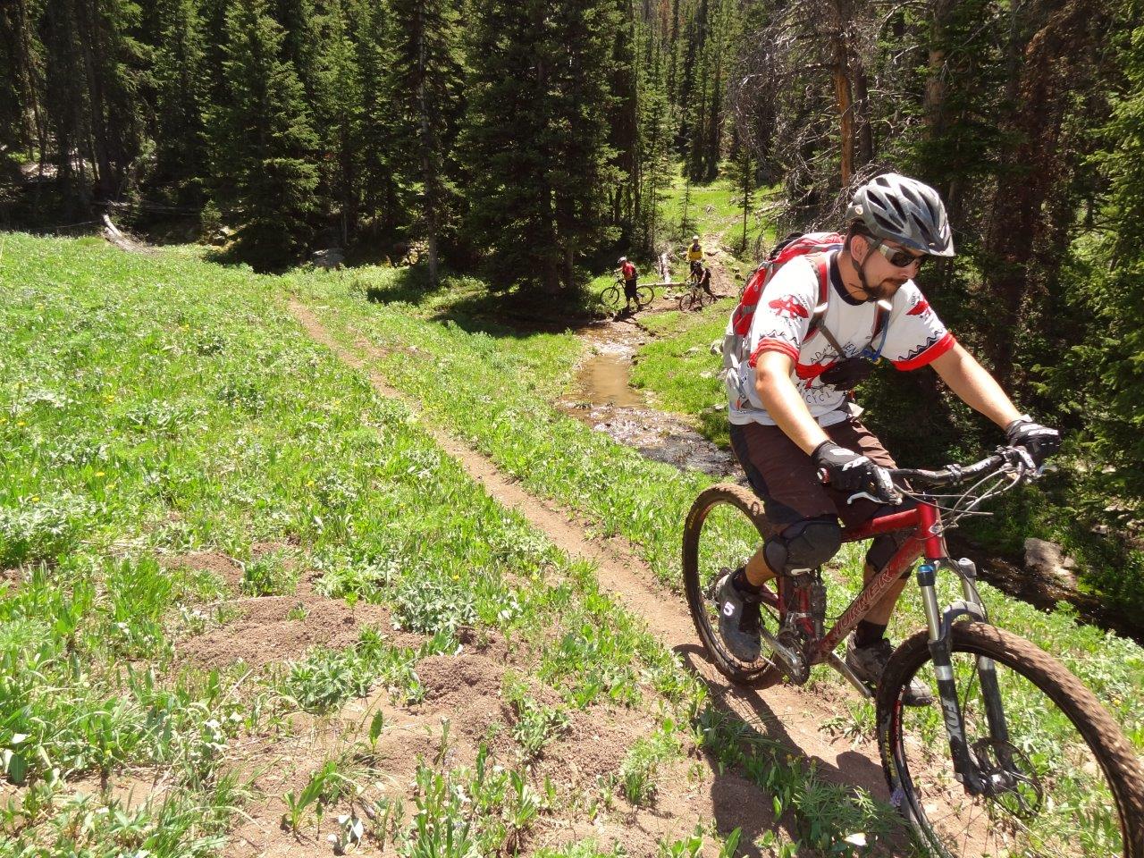
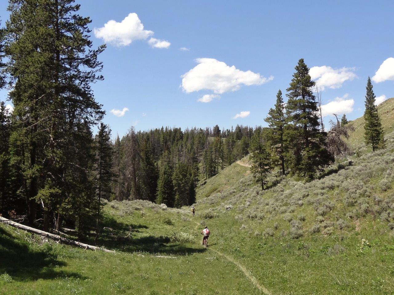
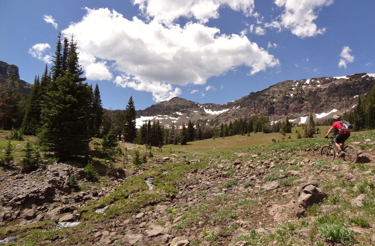
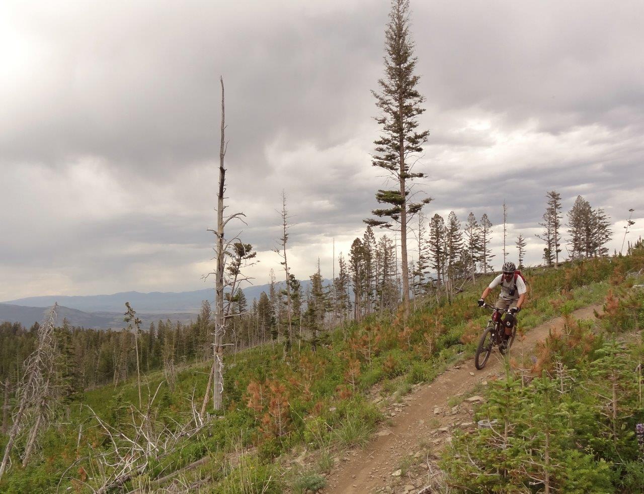
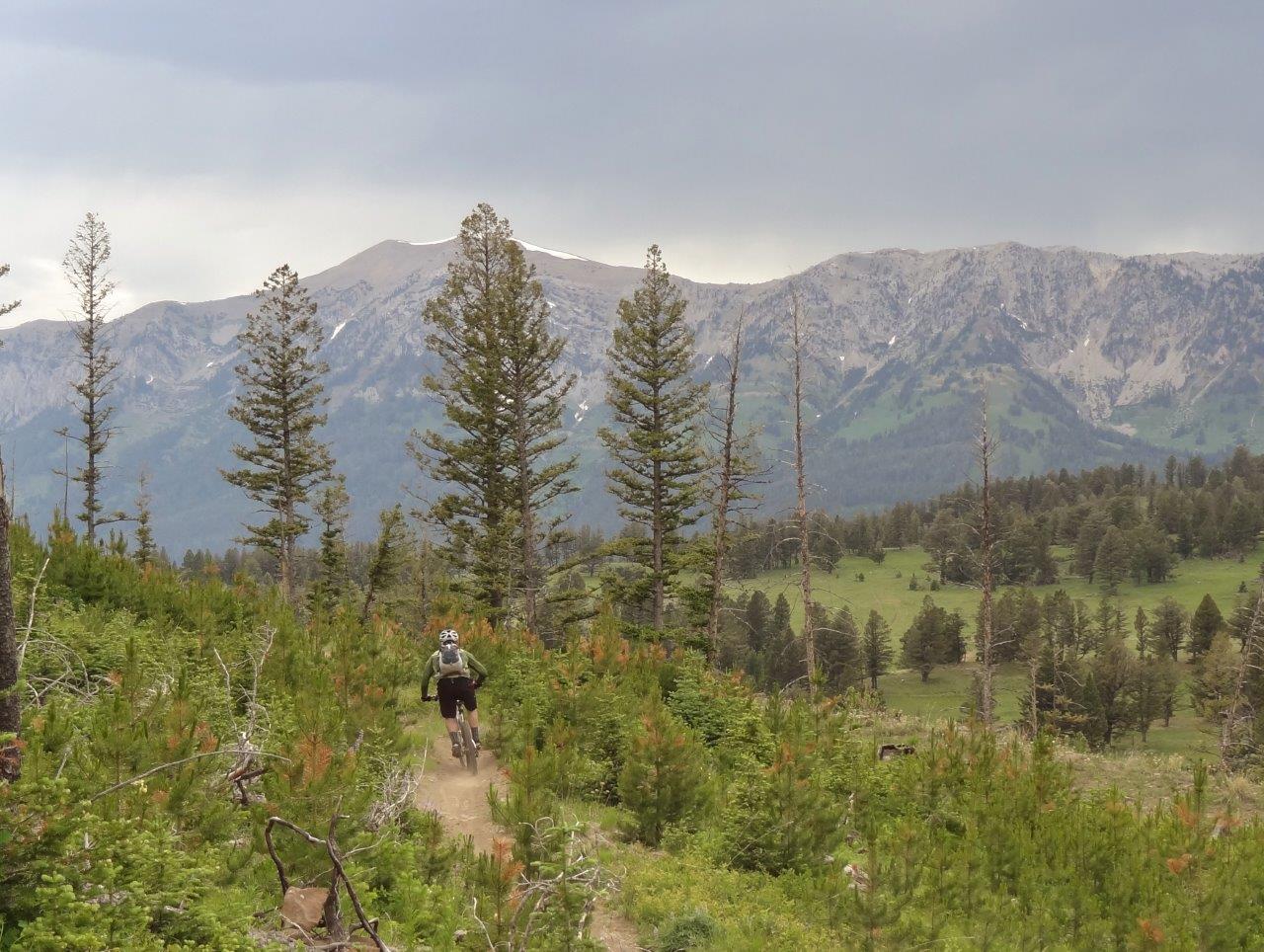
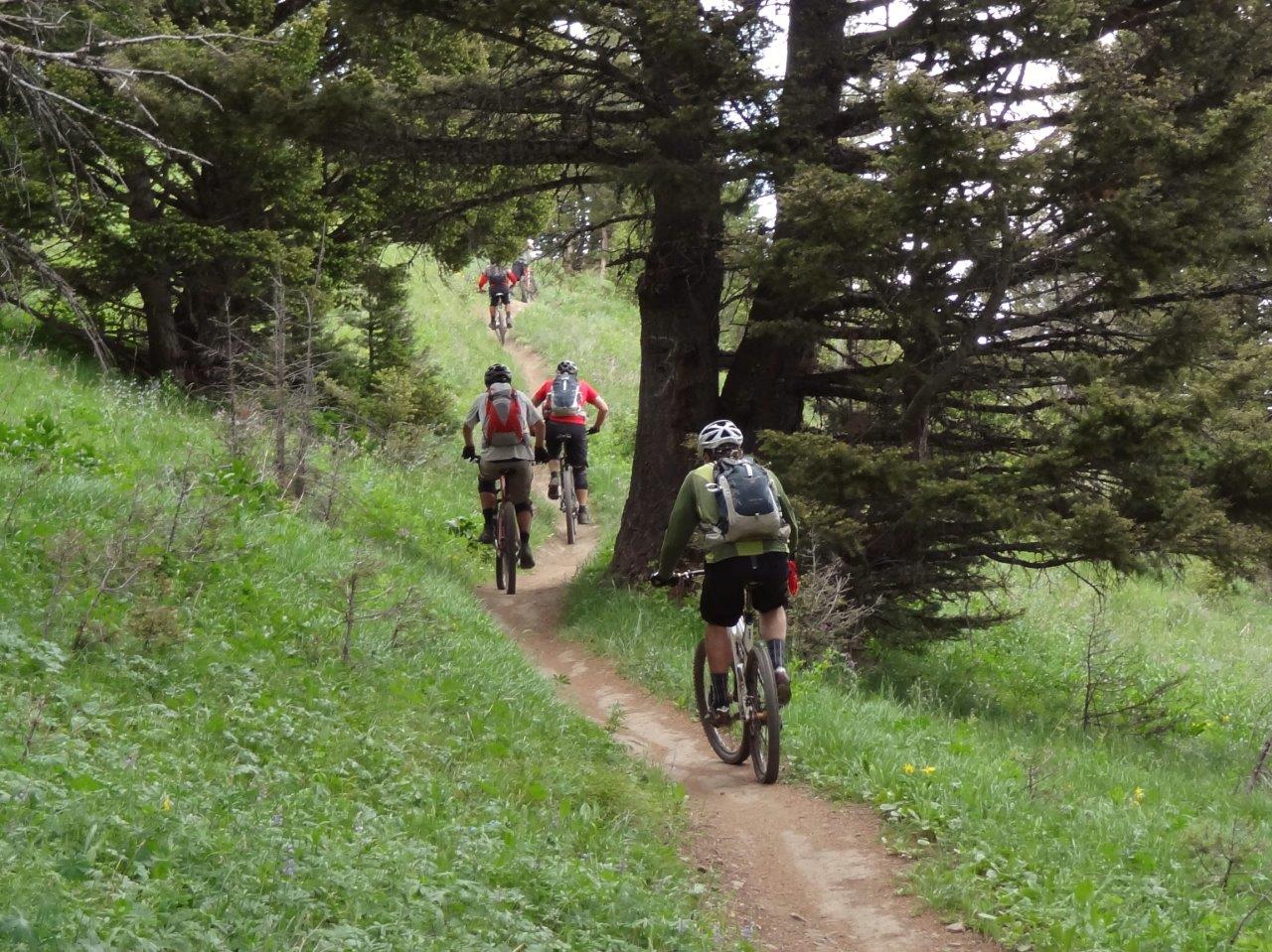
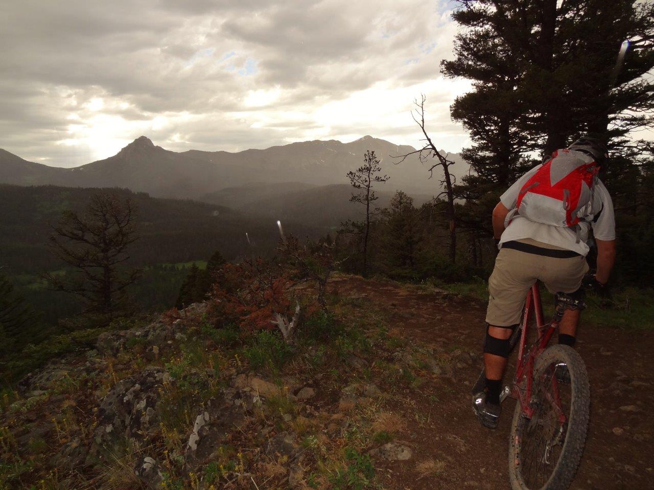
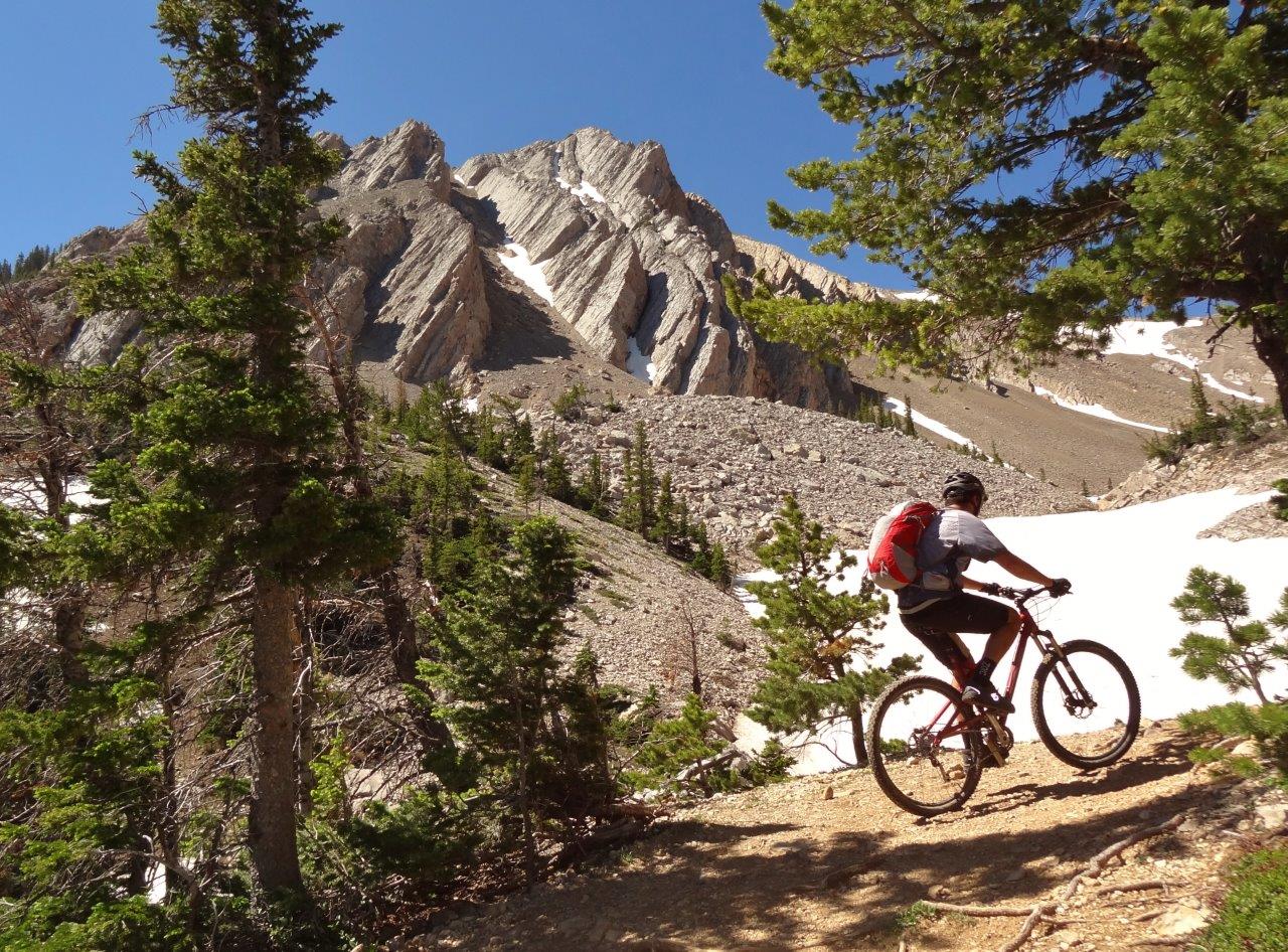
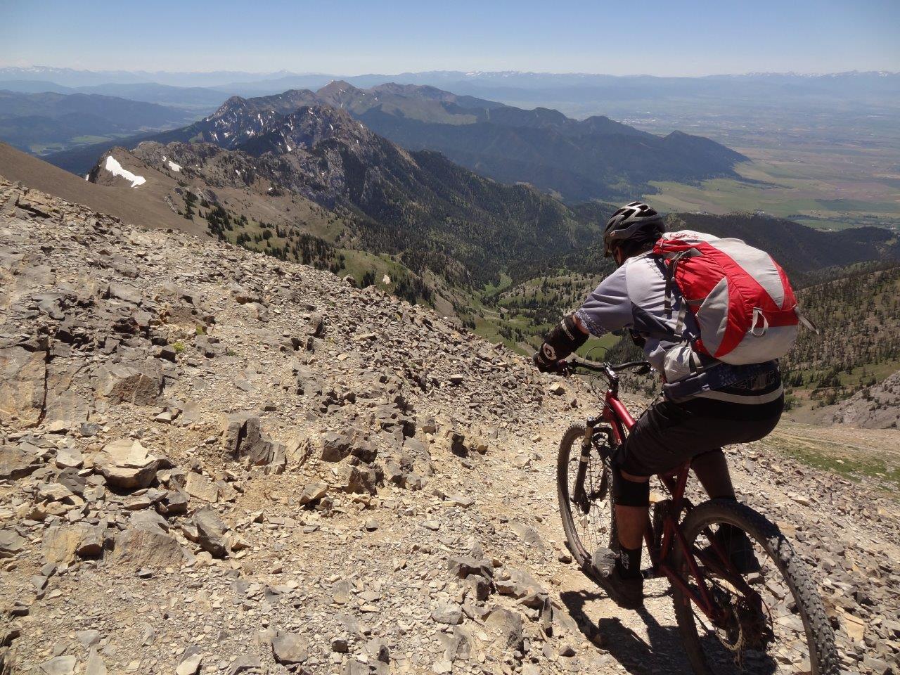
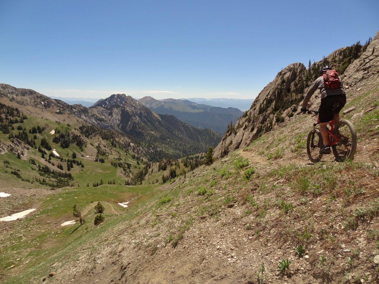
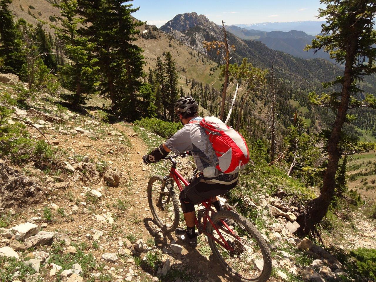
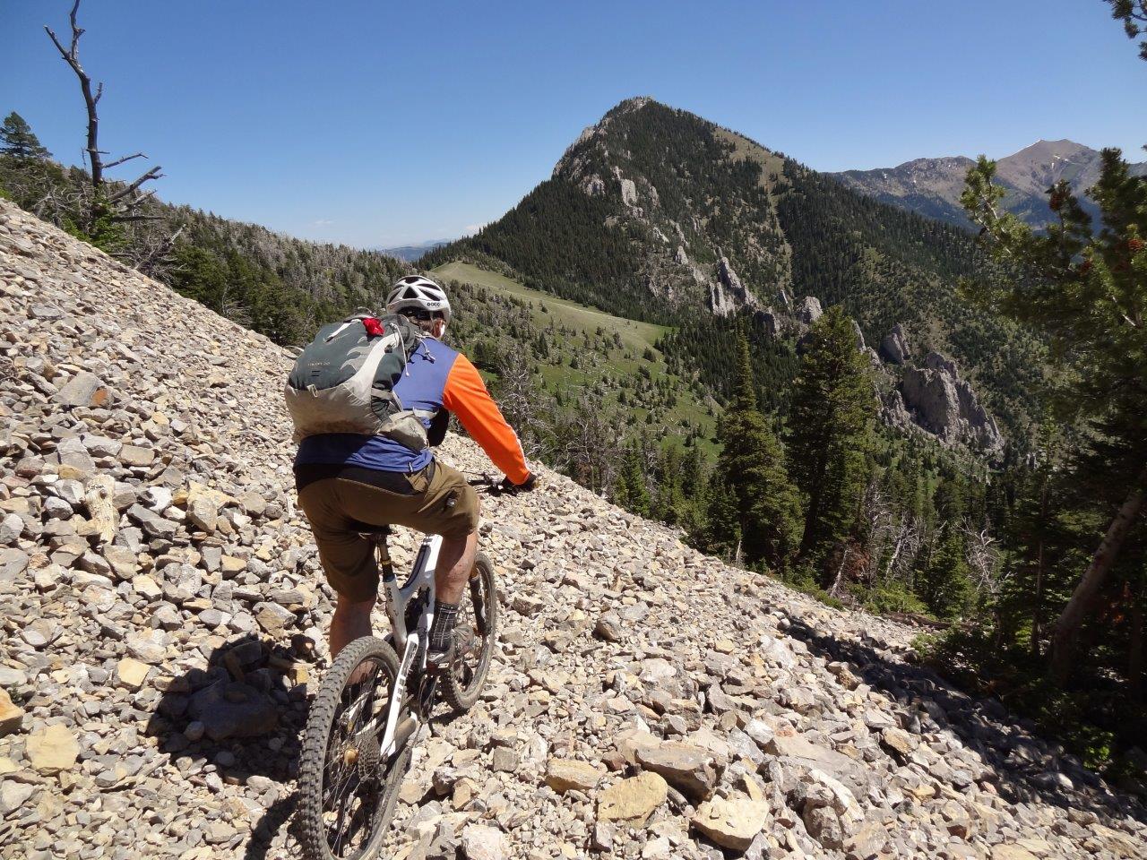
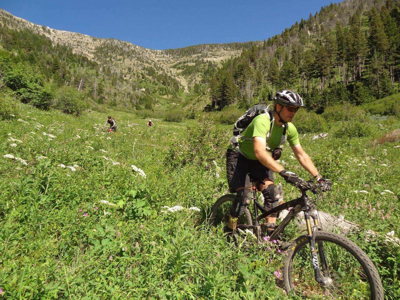
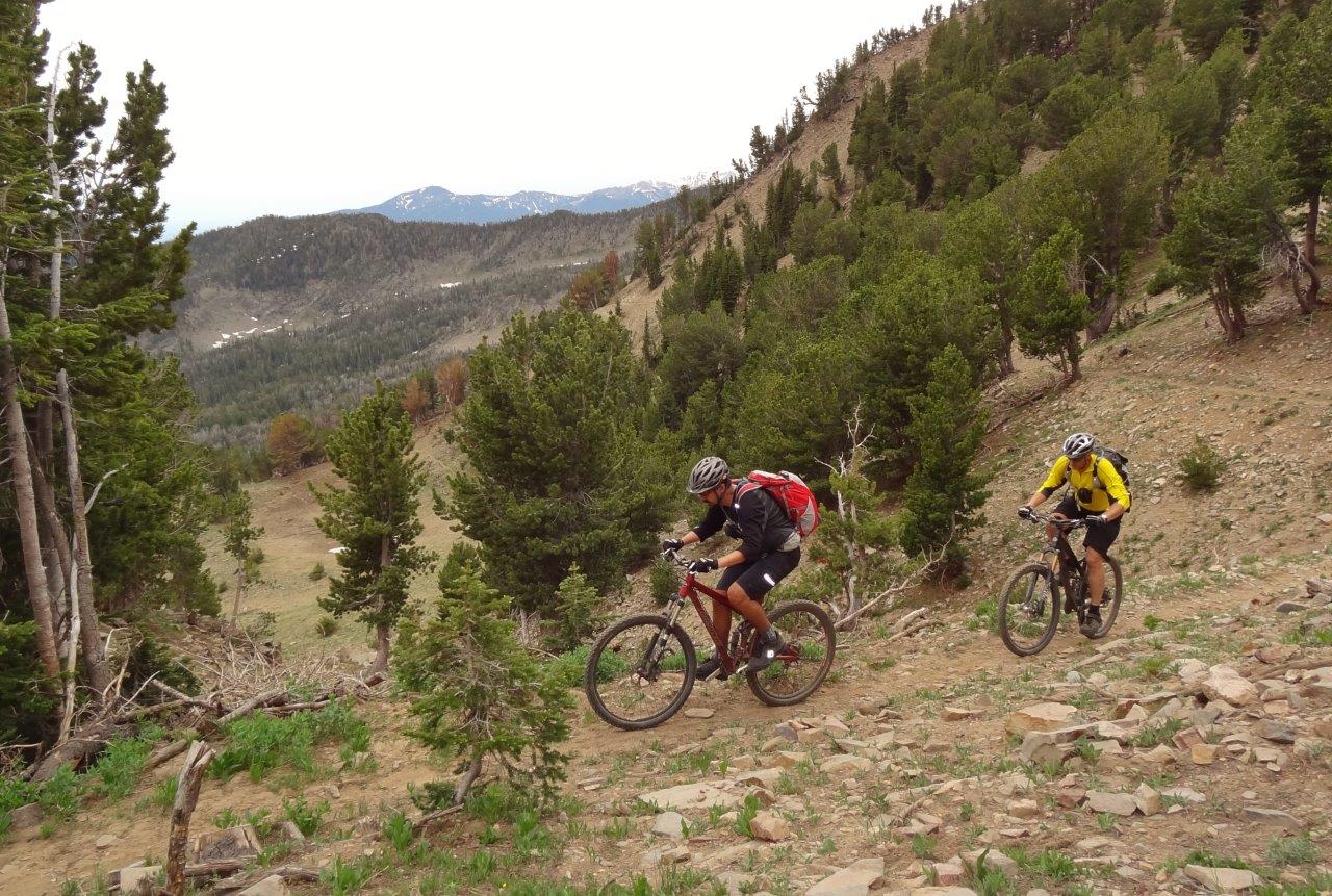
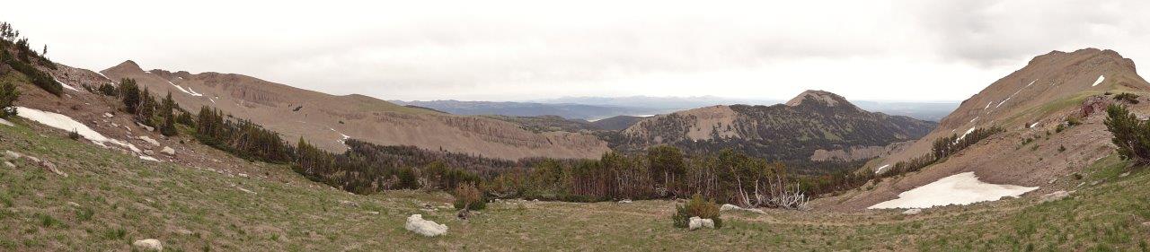
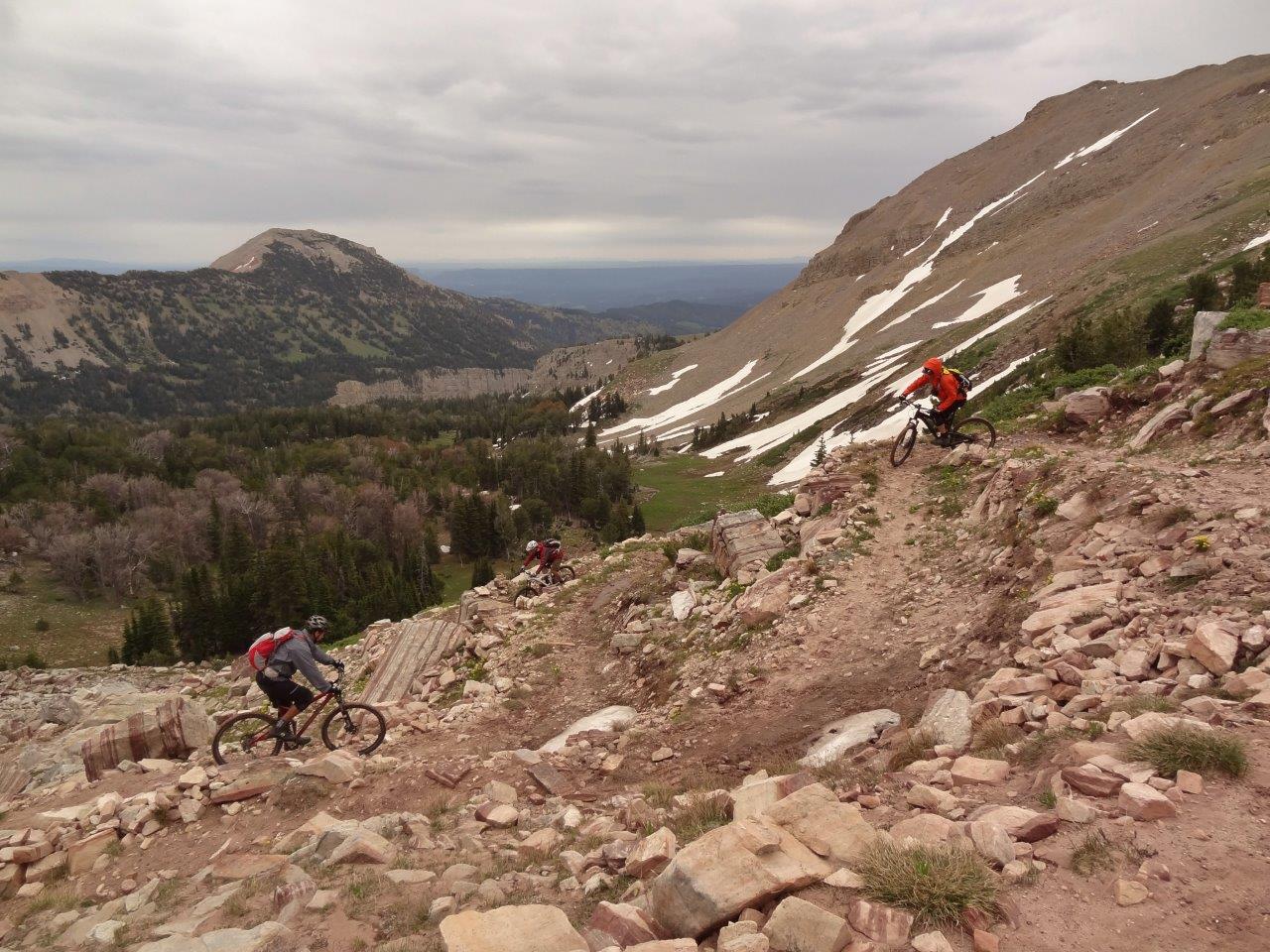
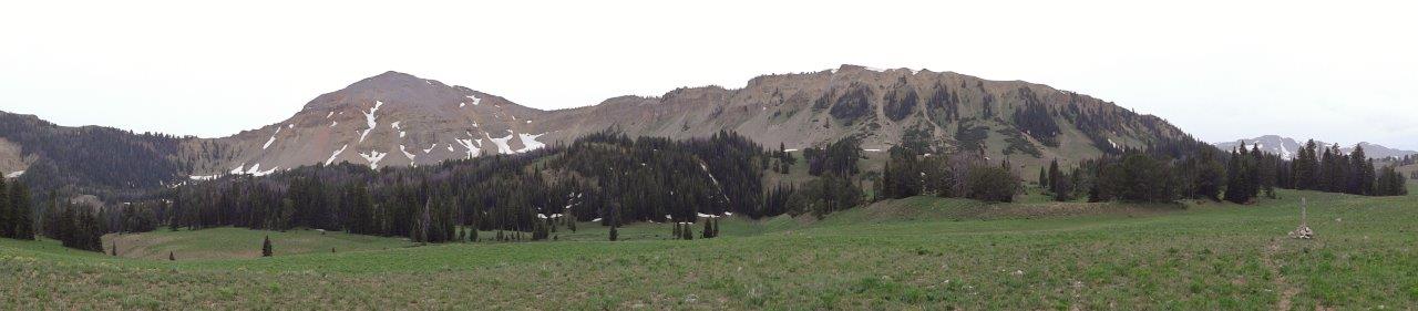
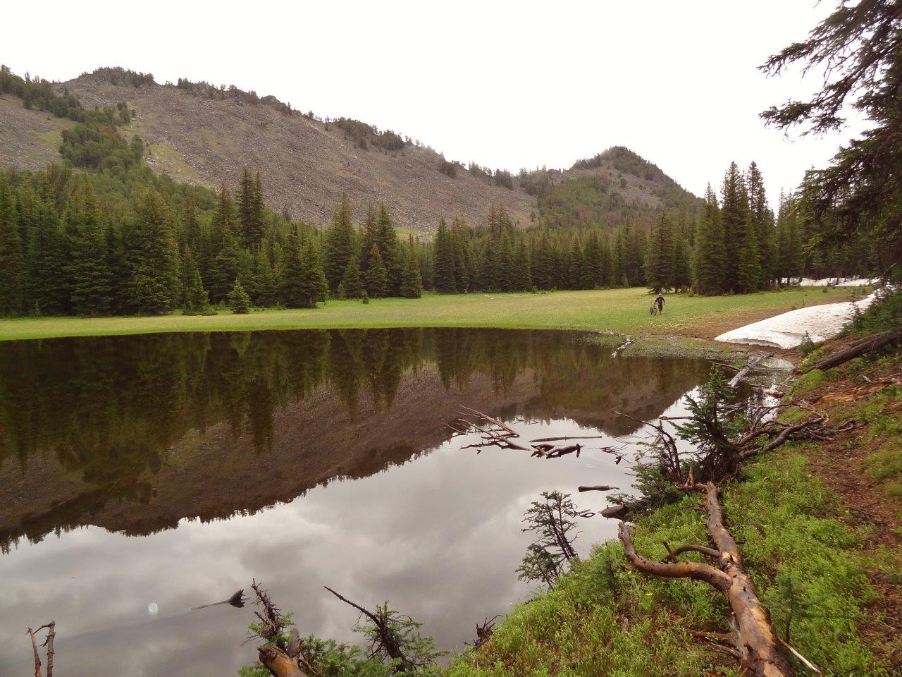
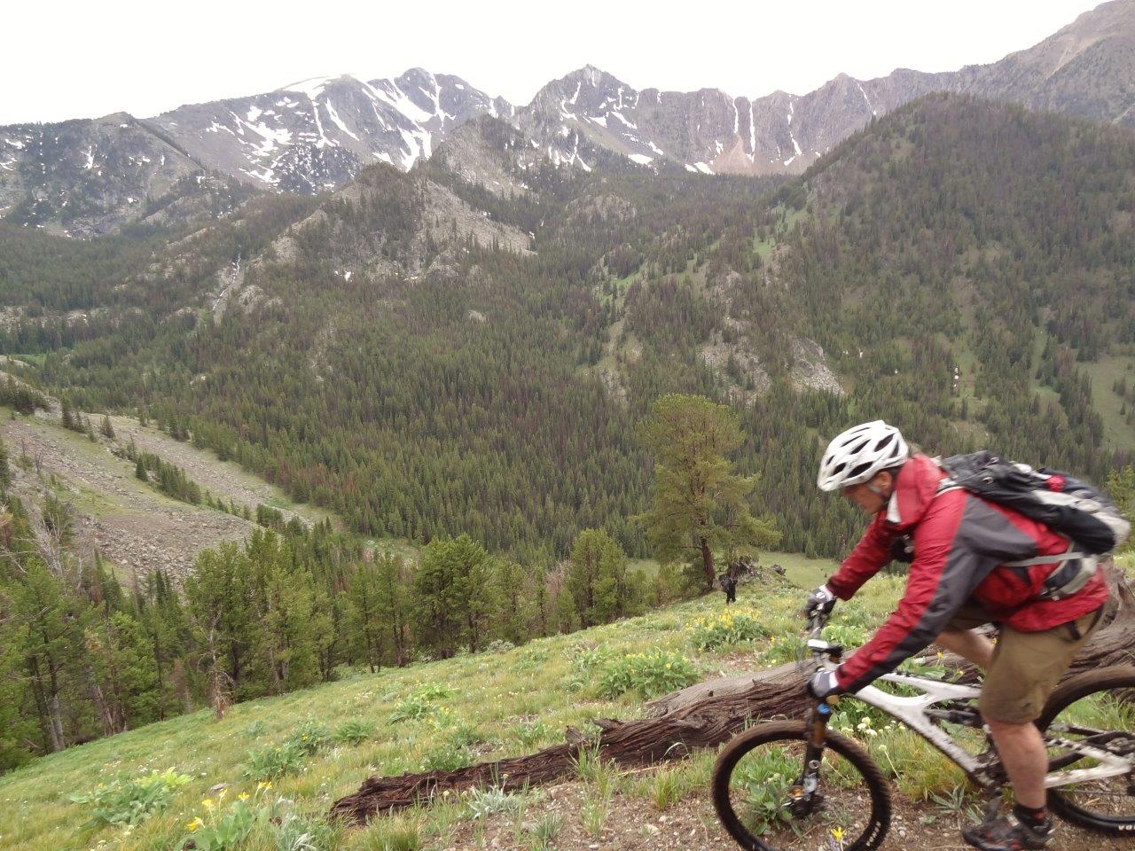
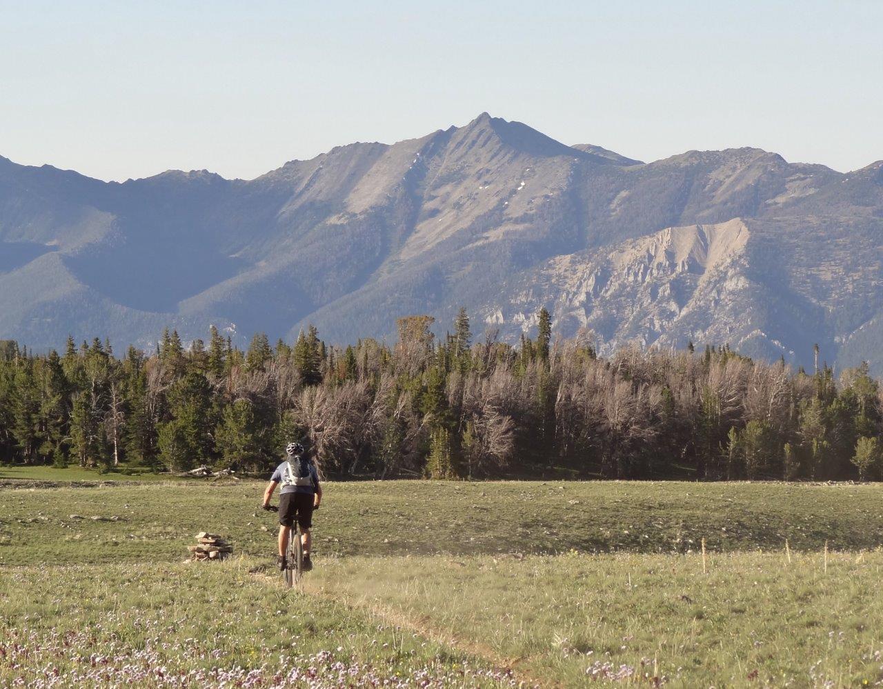
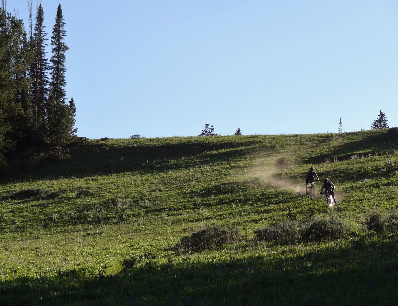
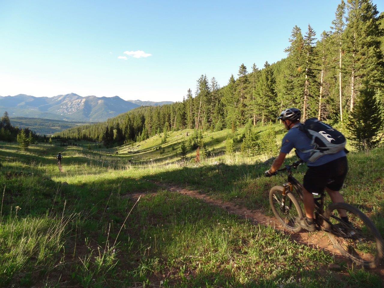
Buck Ridge trail is ATV double track for another 6mi. It is steeper at the beginning until you get up to the ridge top. Also scenic
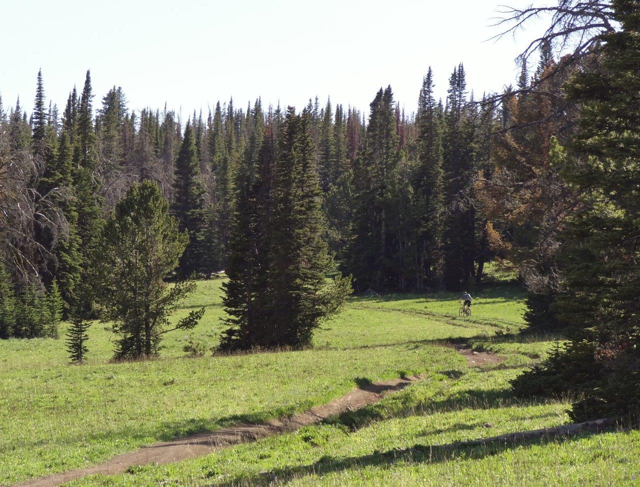
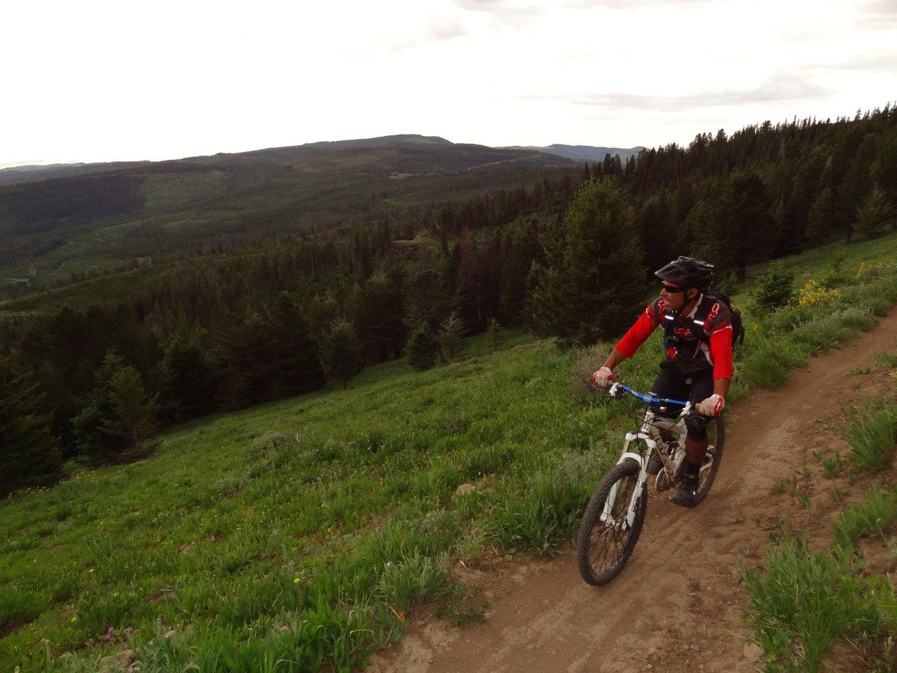
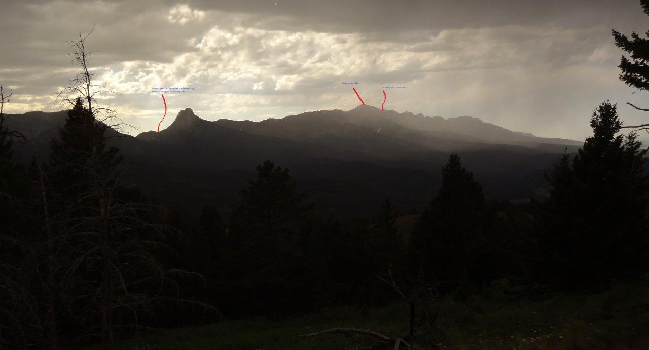
Looking south
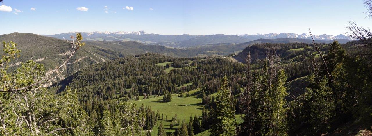
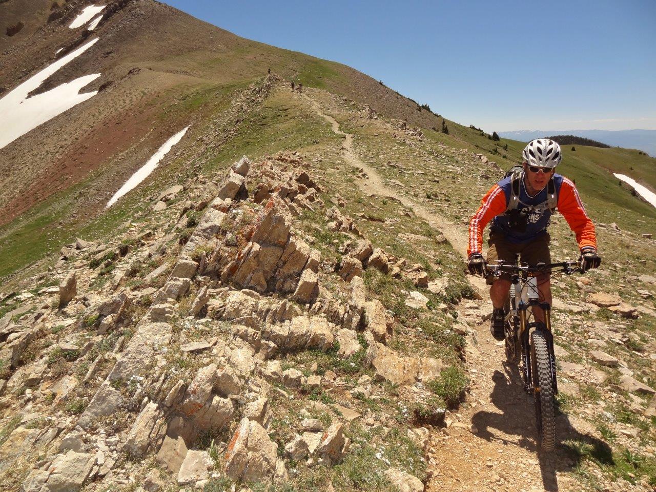
Looking north
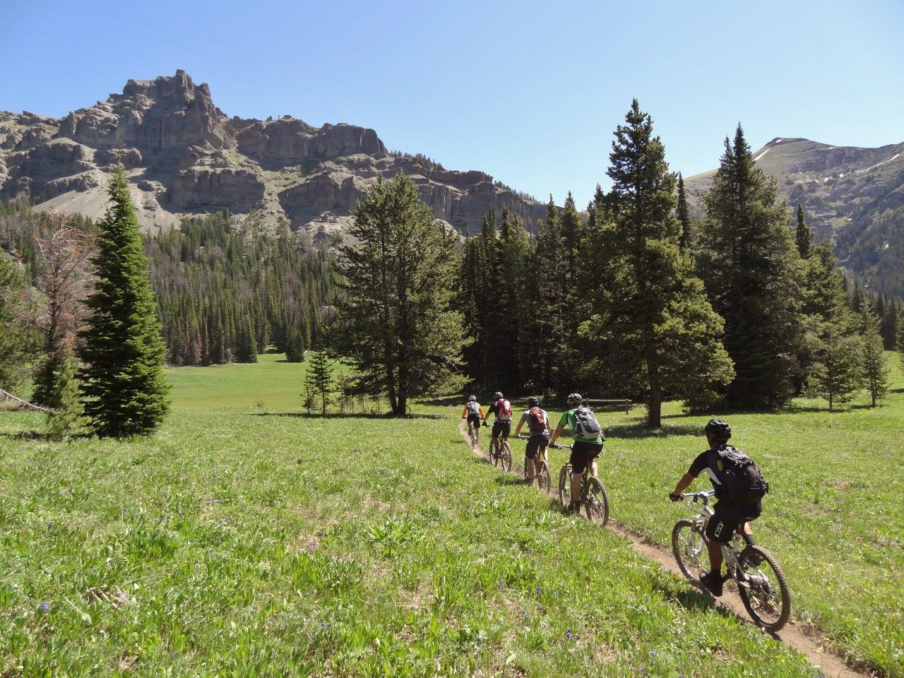
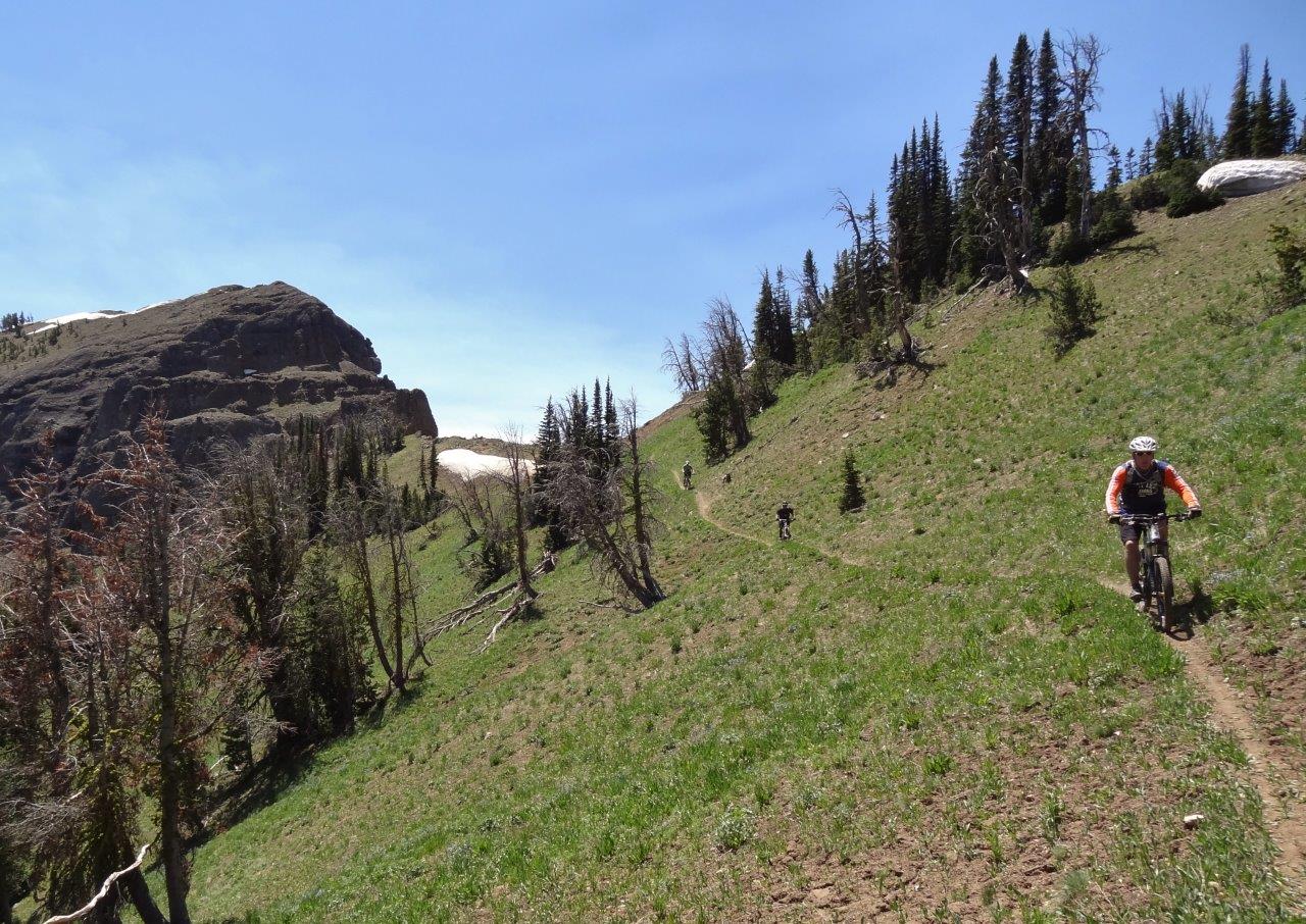
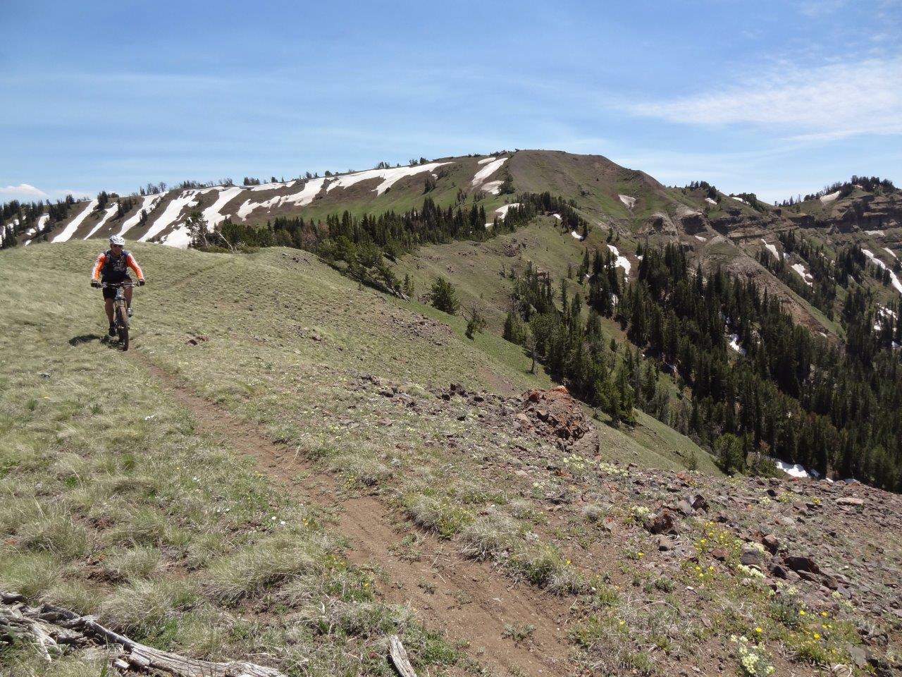
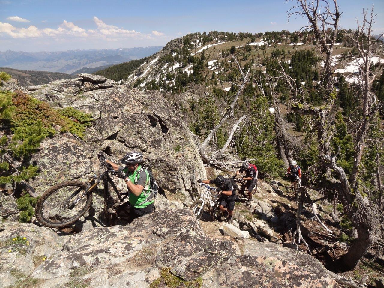
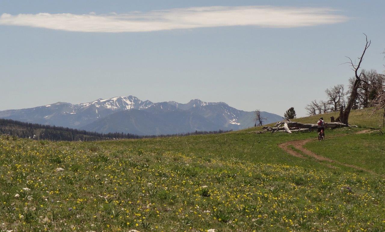
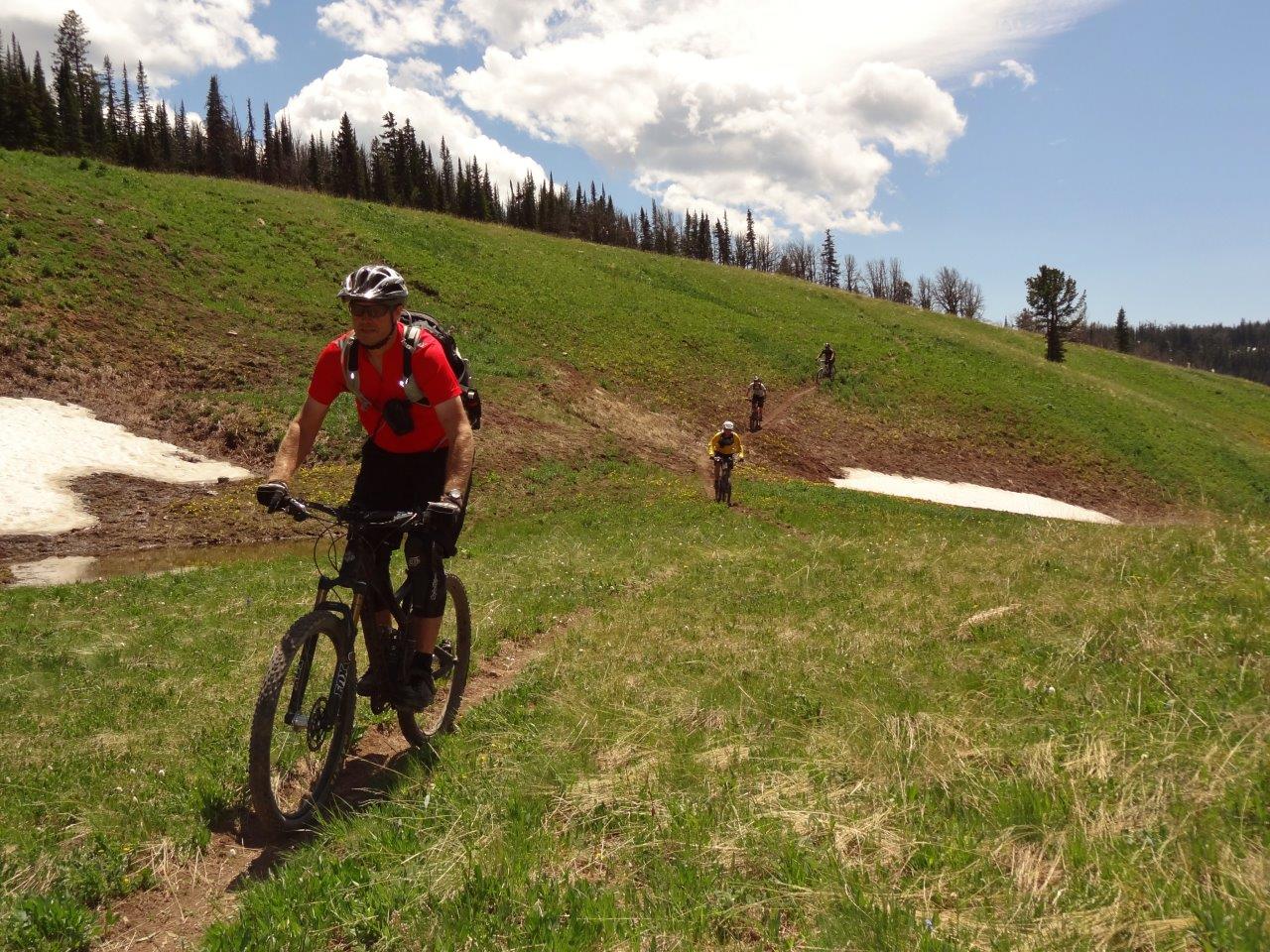
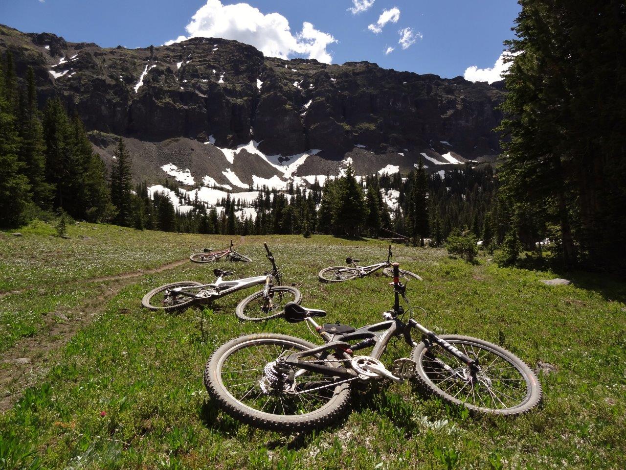
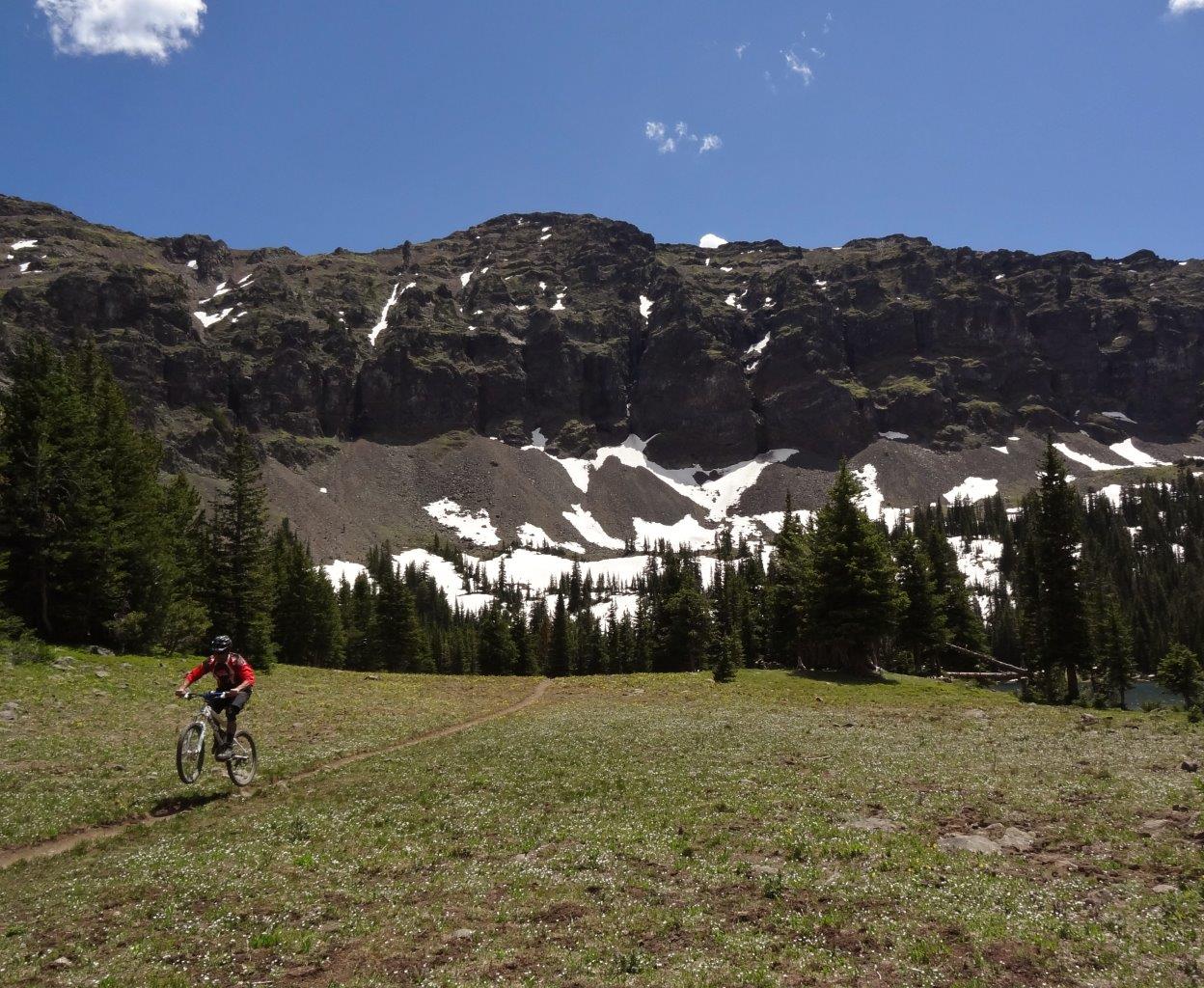
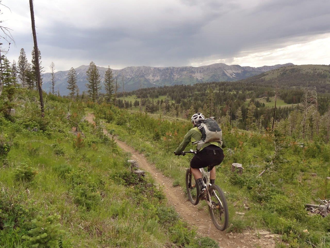
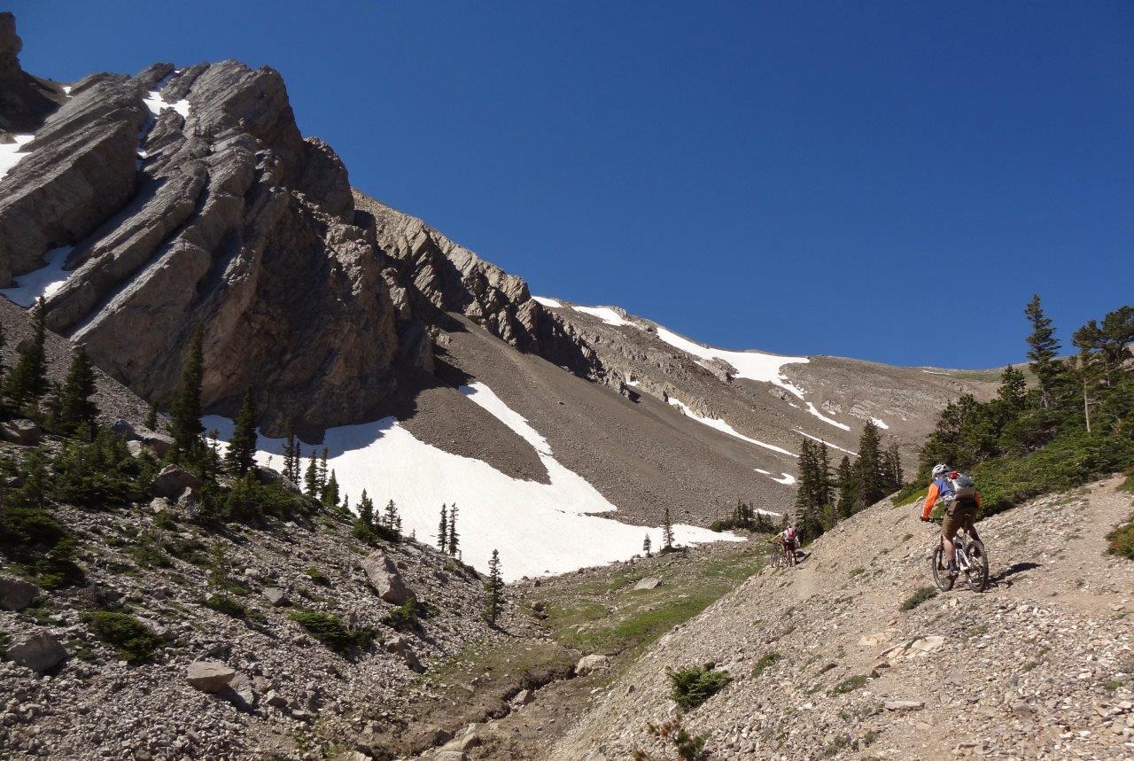
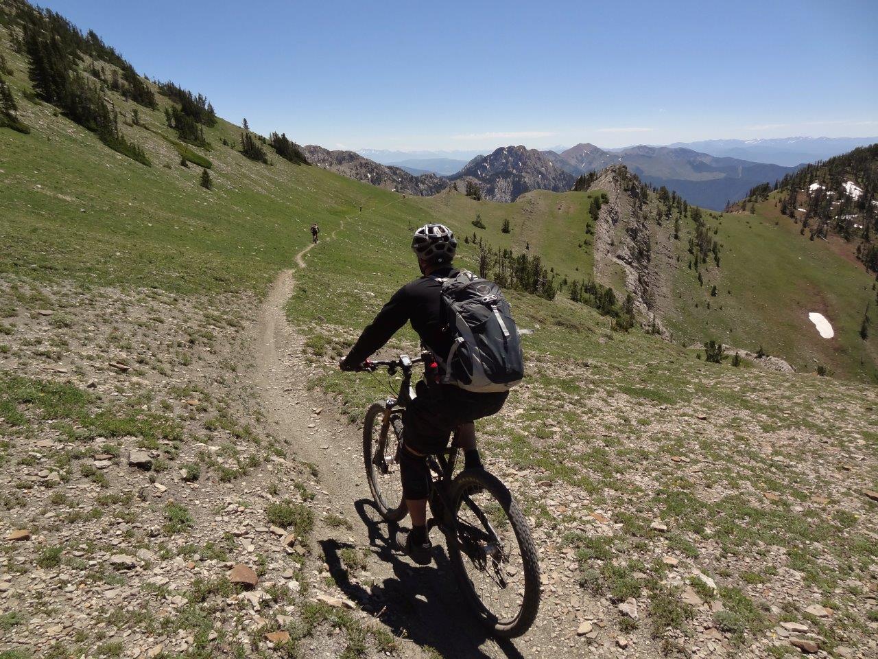
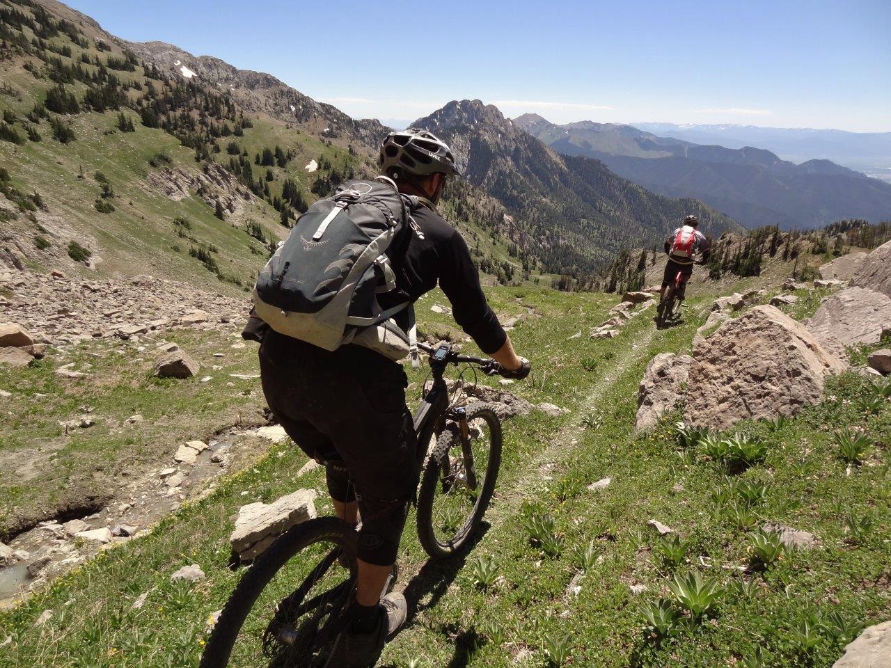
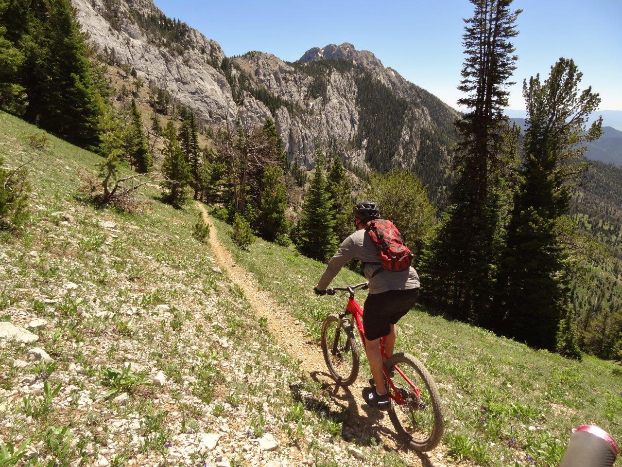
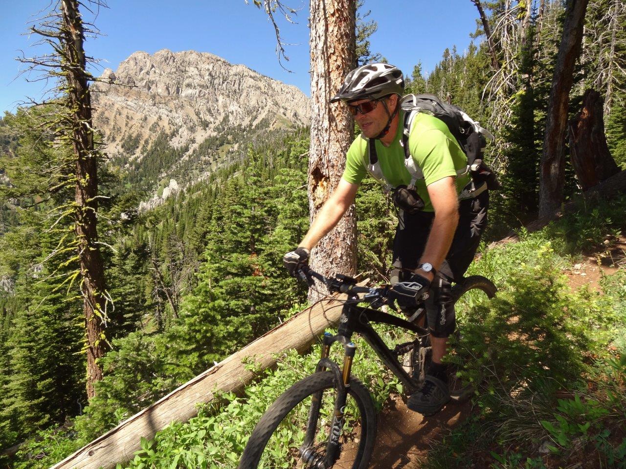
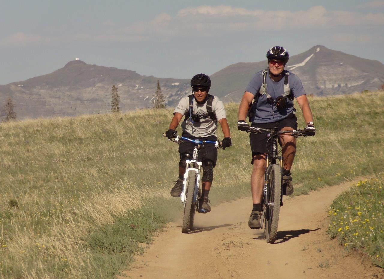
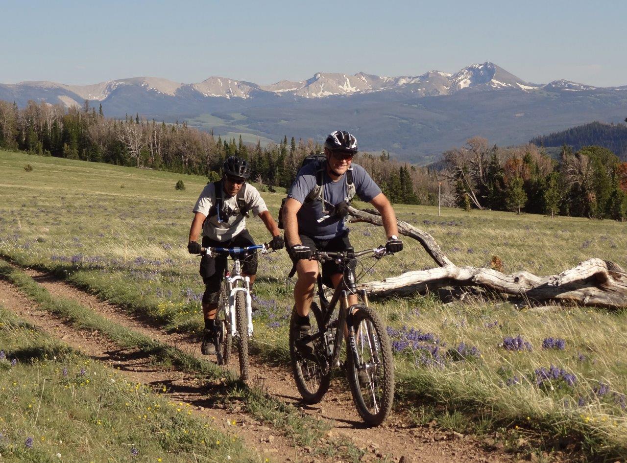
Kreechan and Gman pedal the ridge top
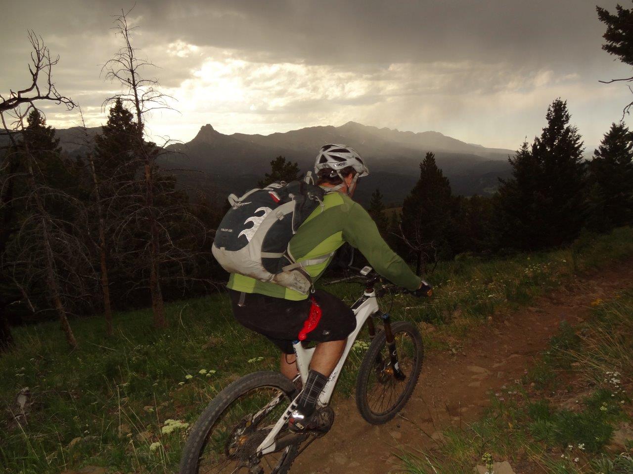
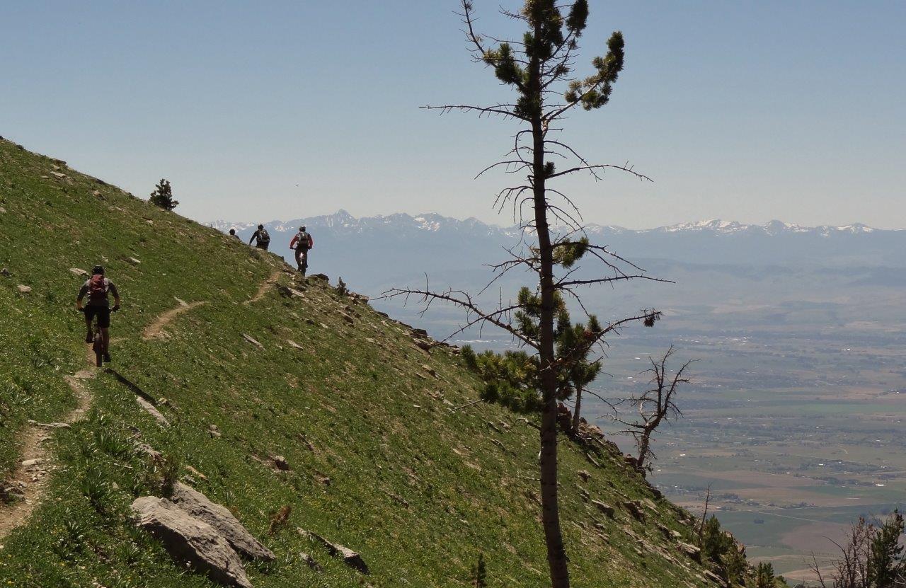
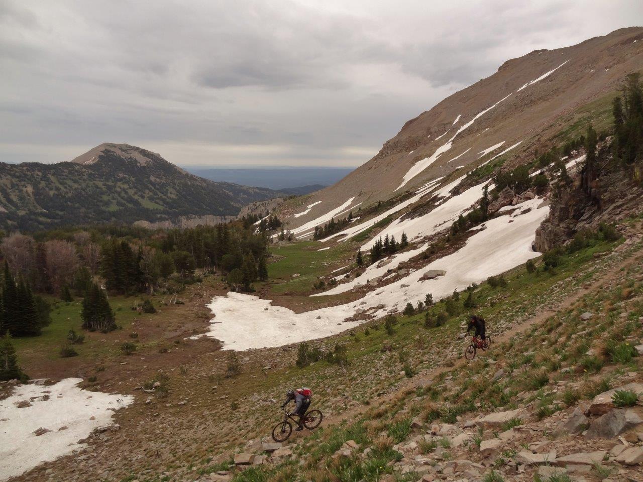
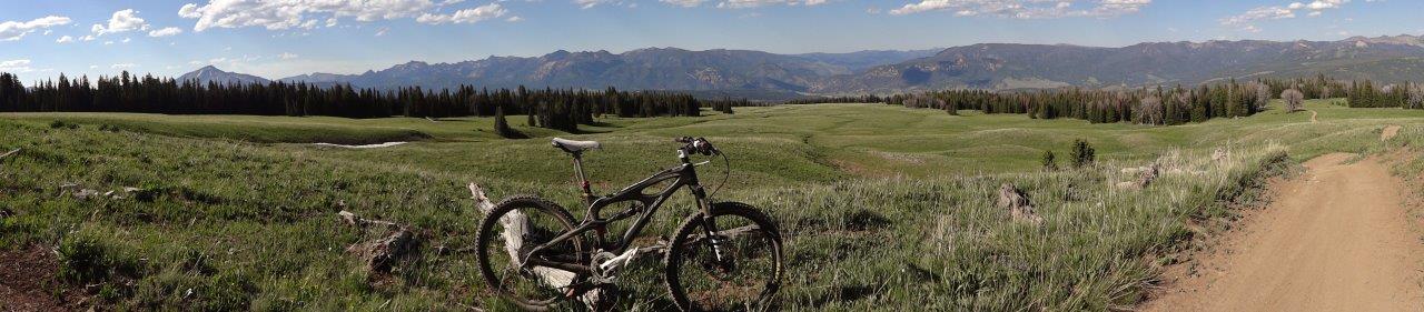
Awesome evening light by this time
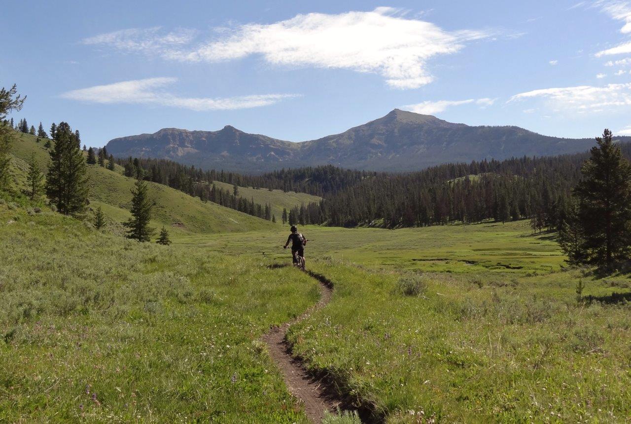
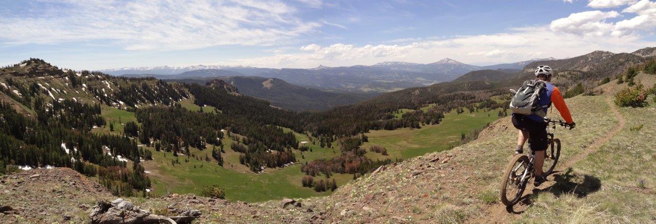
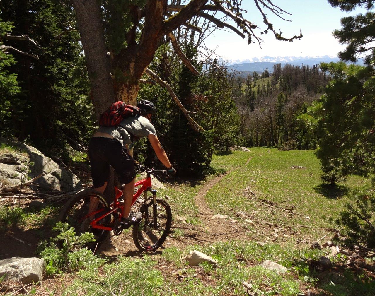
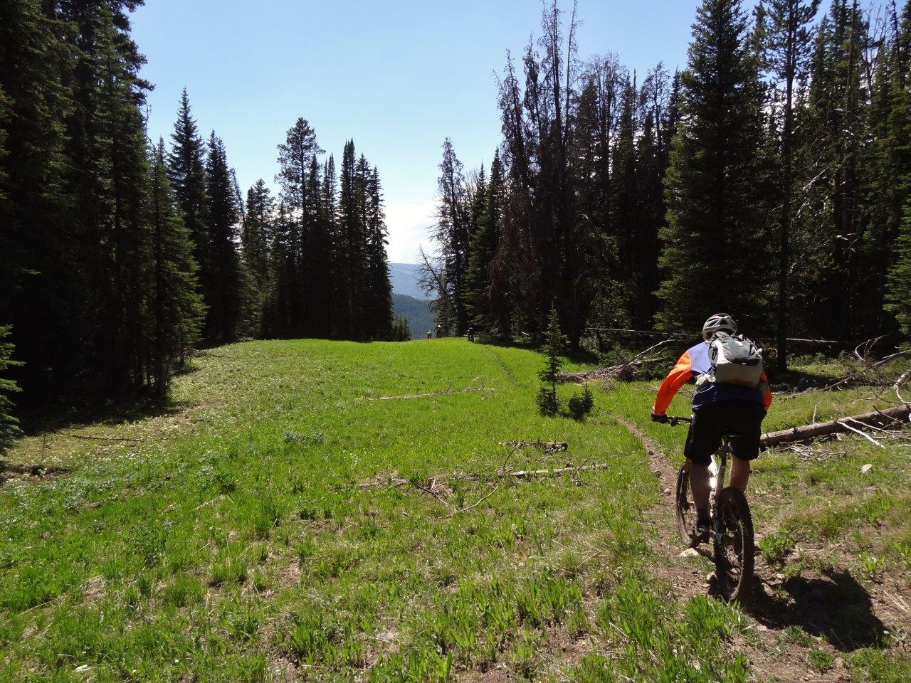
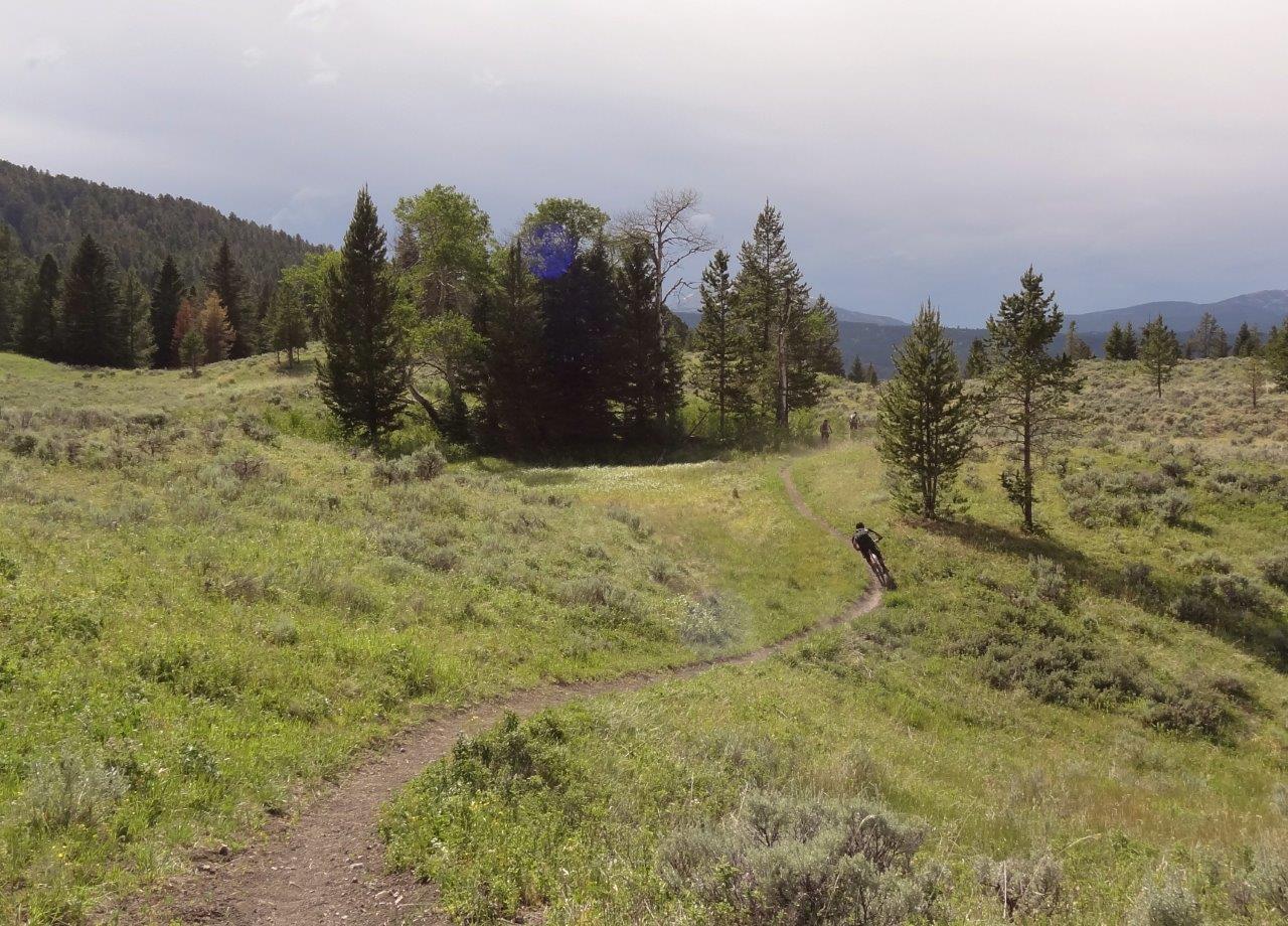
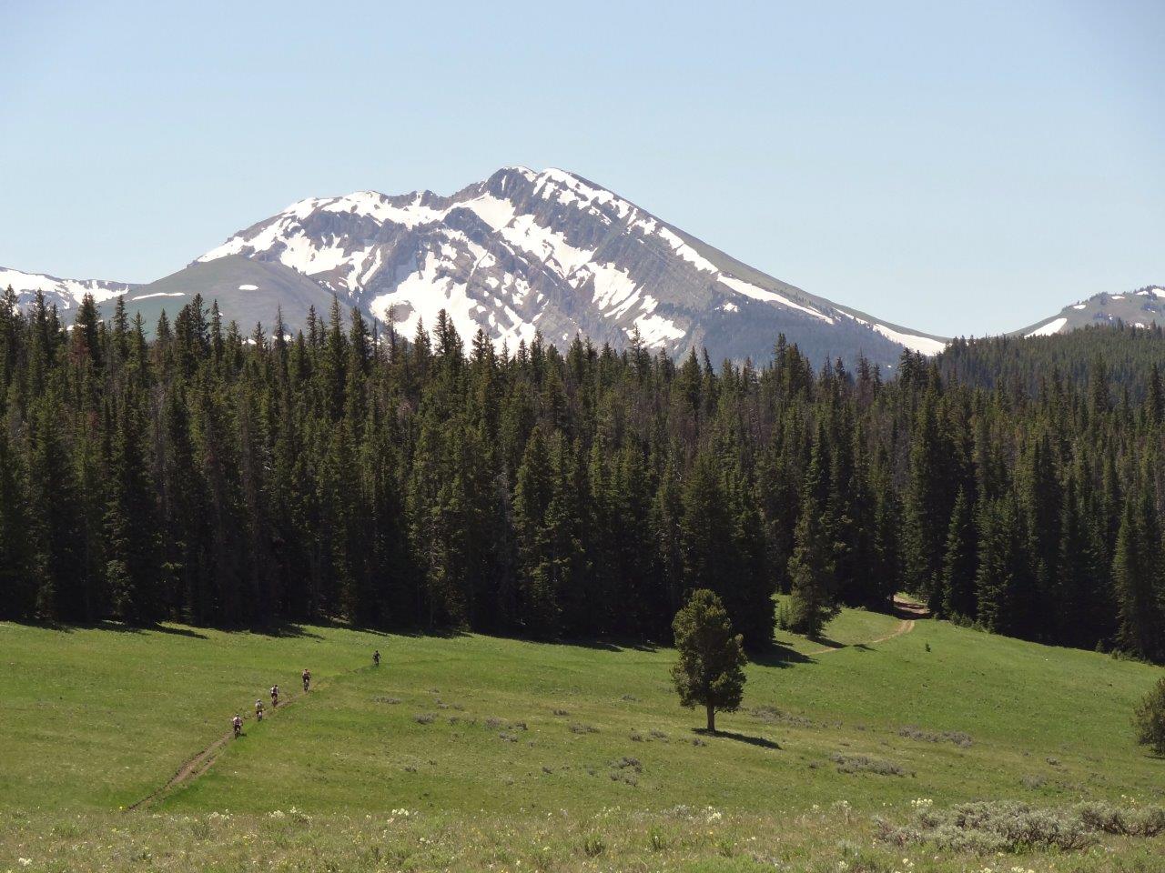
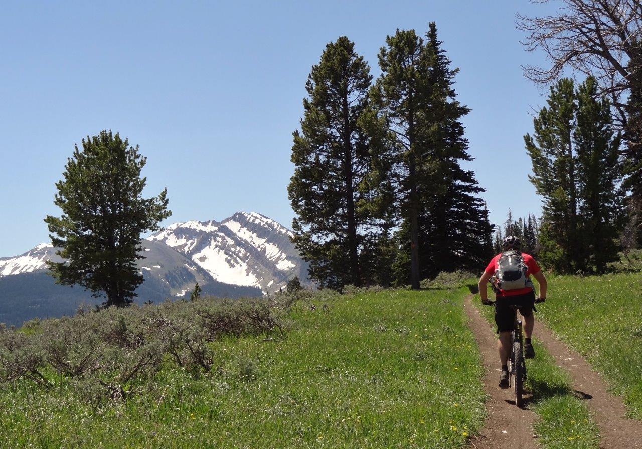
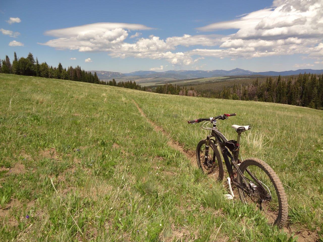
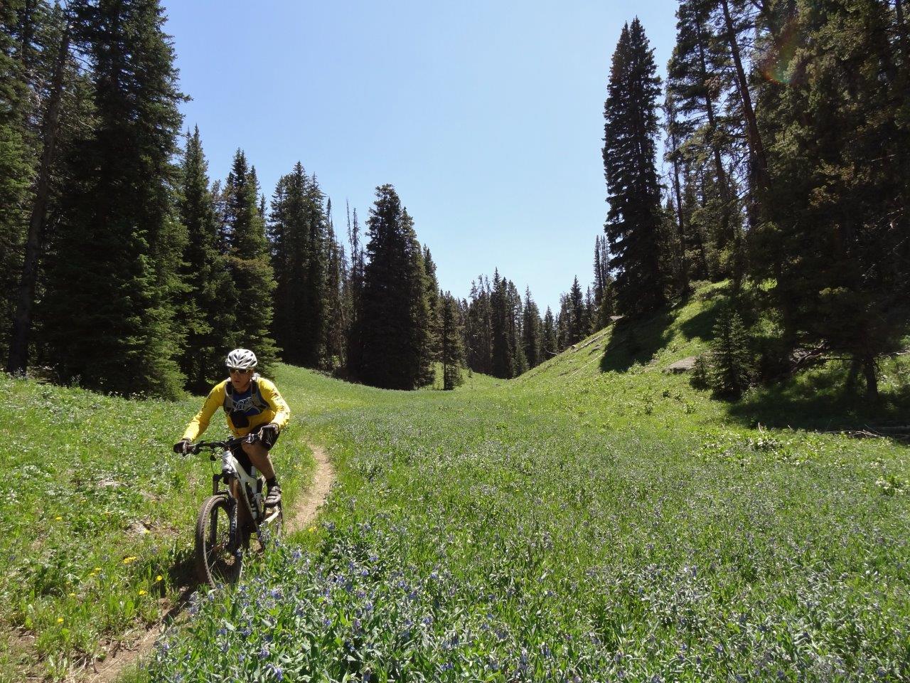
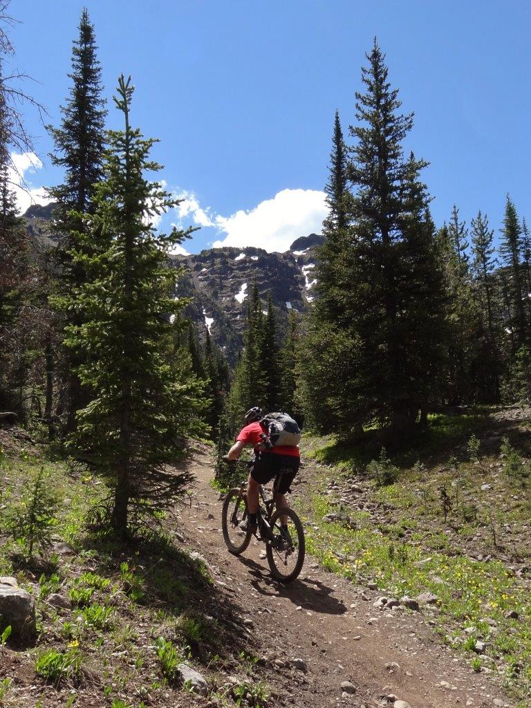
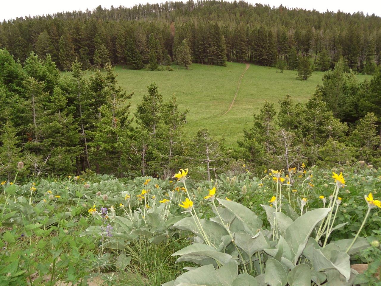
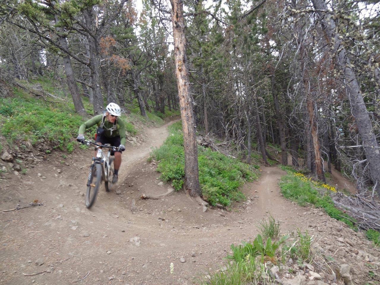
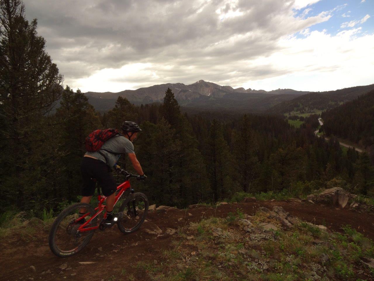
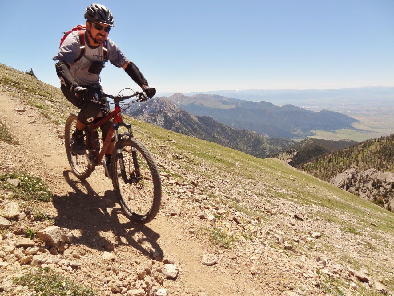
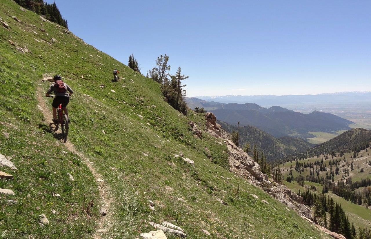
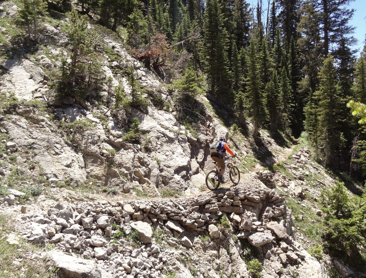
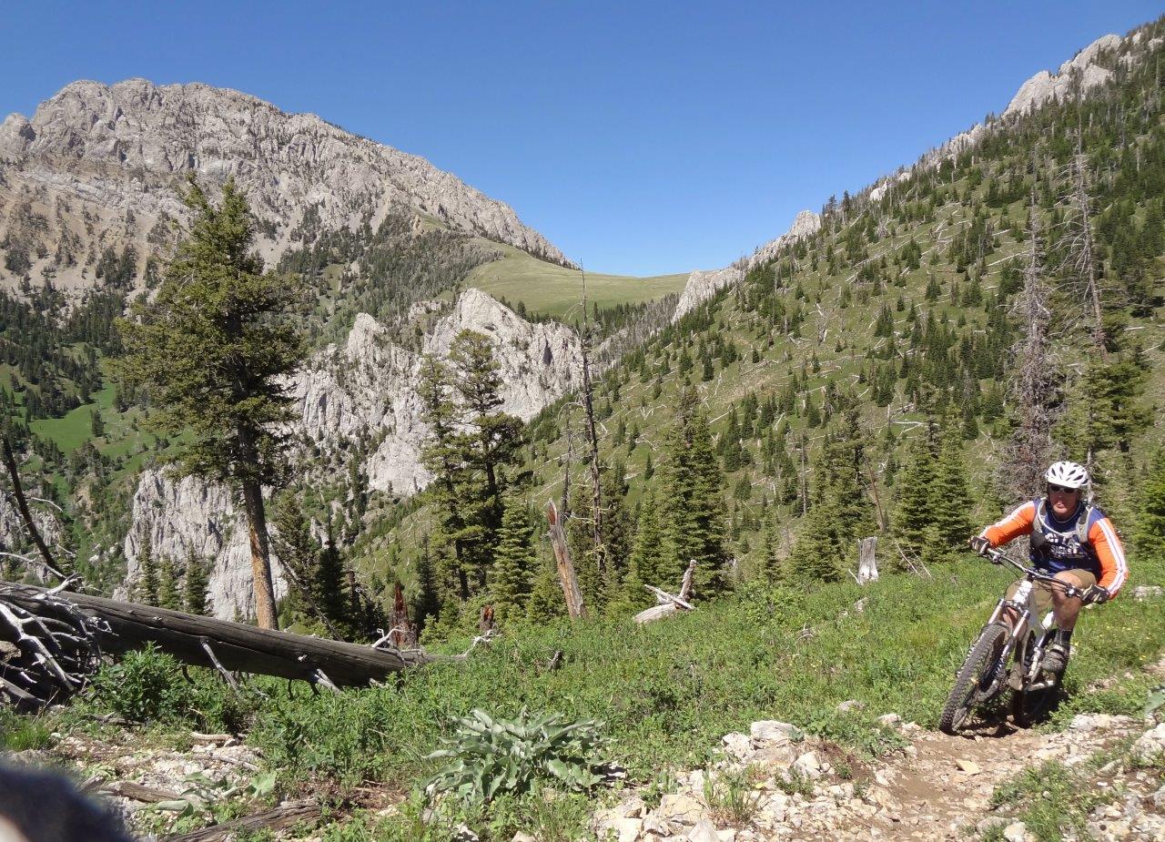
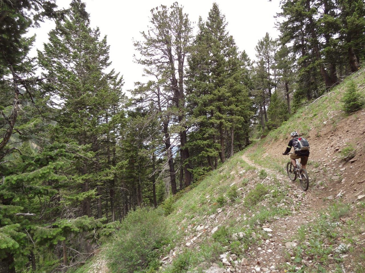
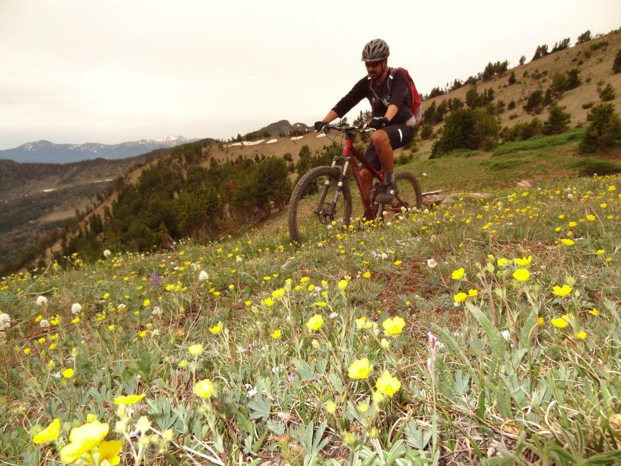
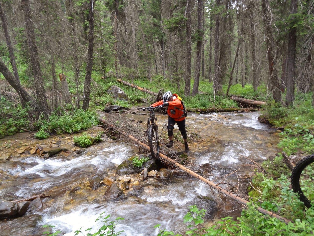
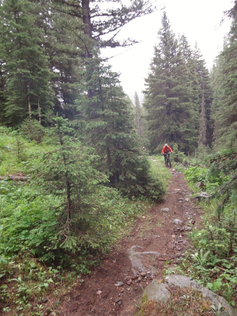
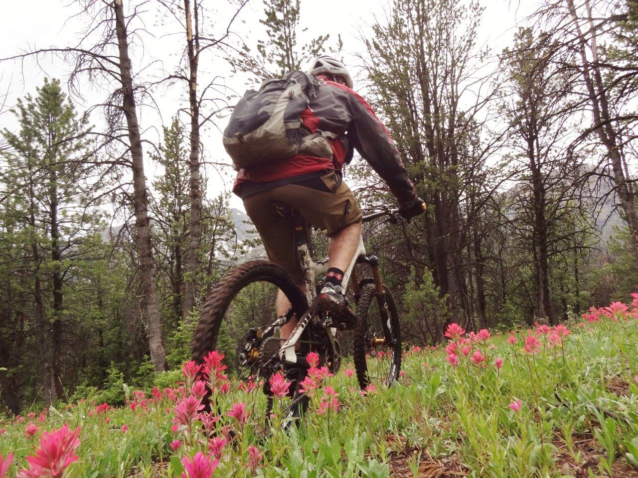
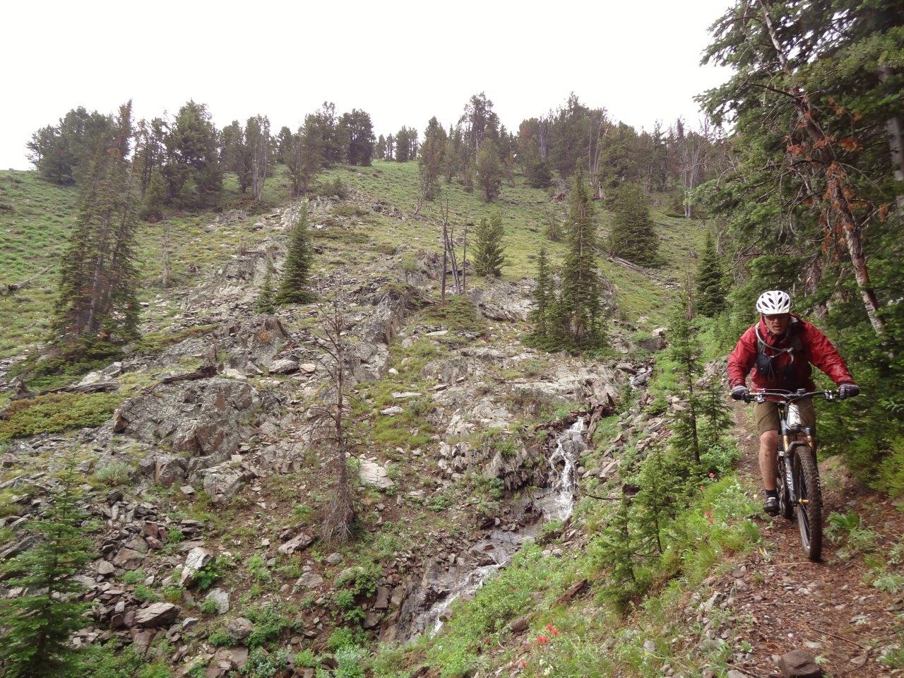
First Yellow Mule Trail drops 3000+ ft back down into Big Sky, on nice buff singletrack that just goes on and on
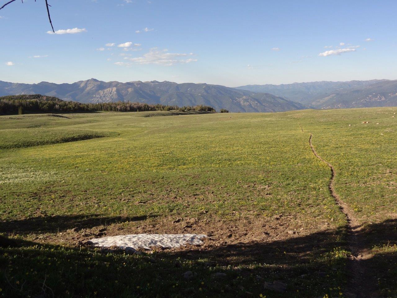
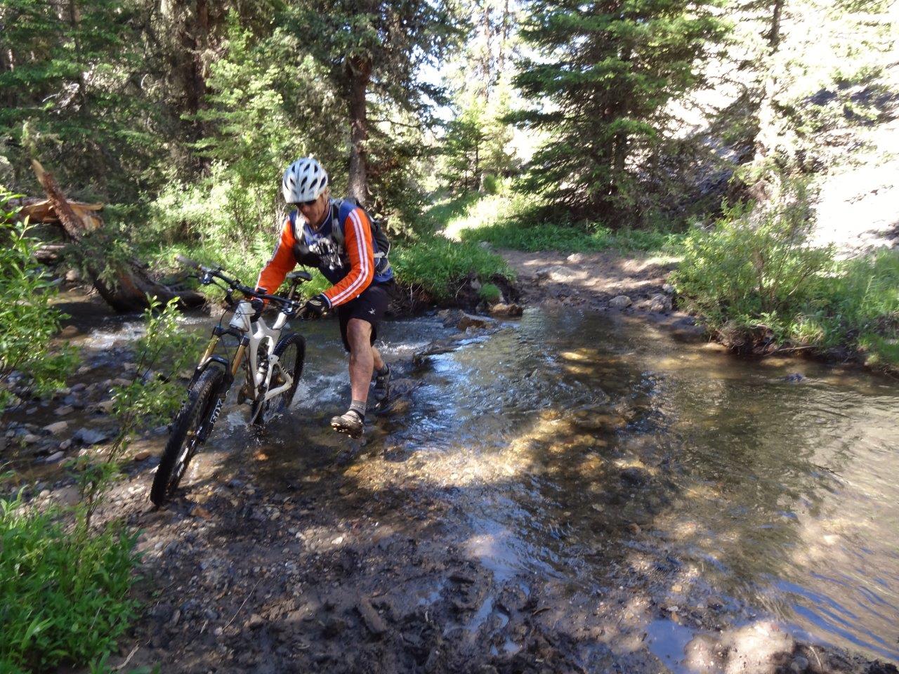
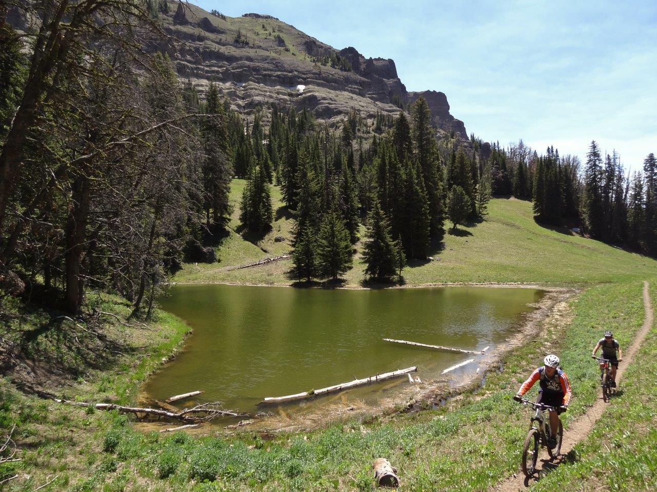
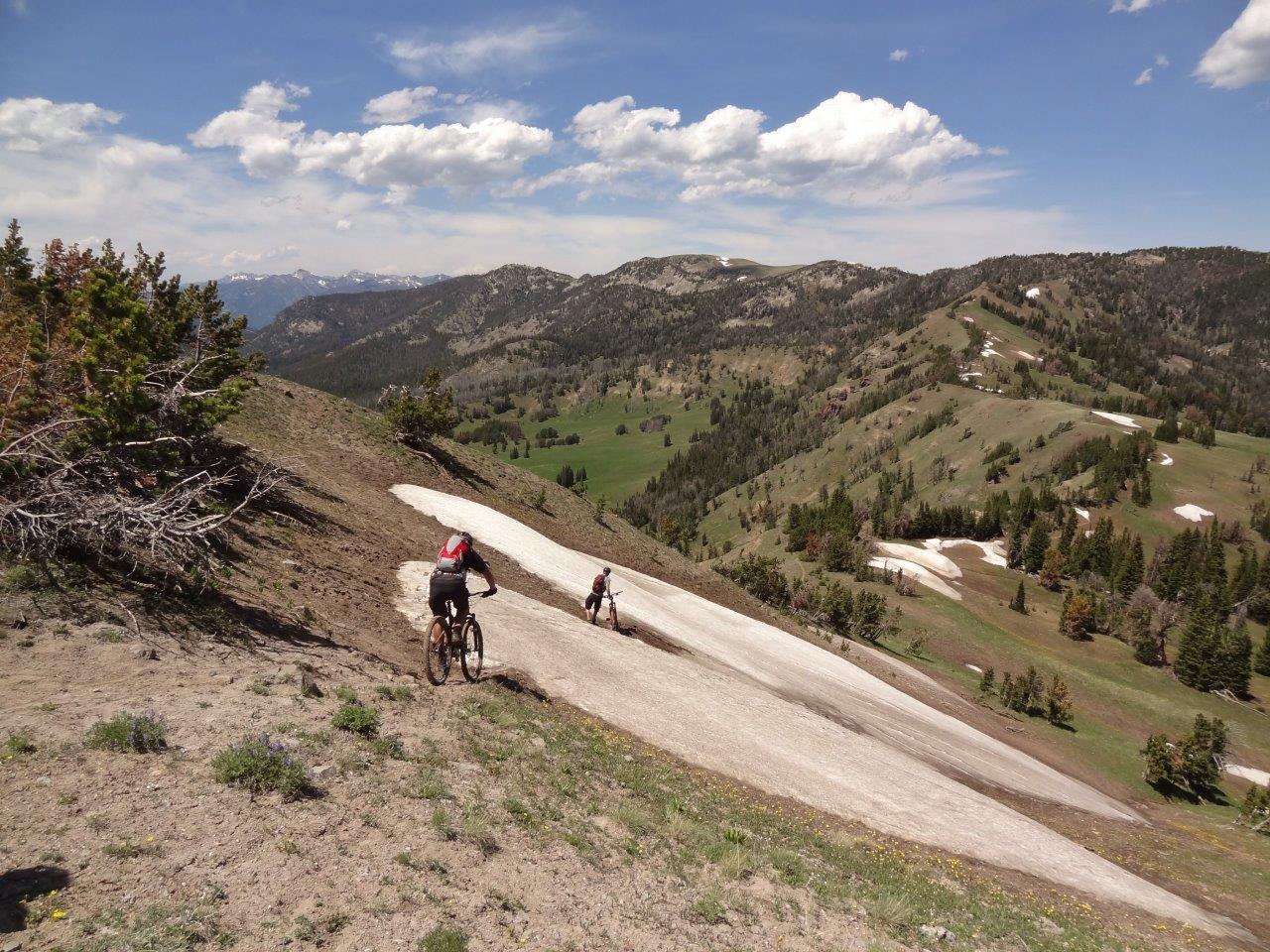
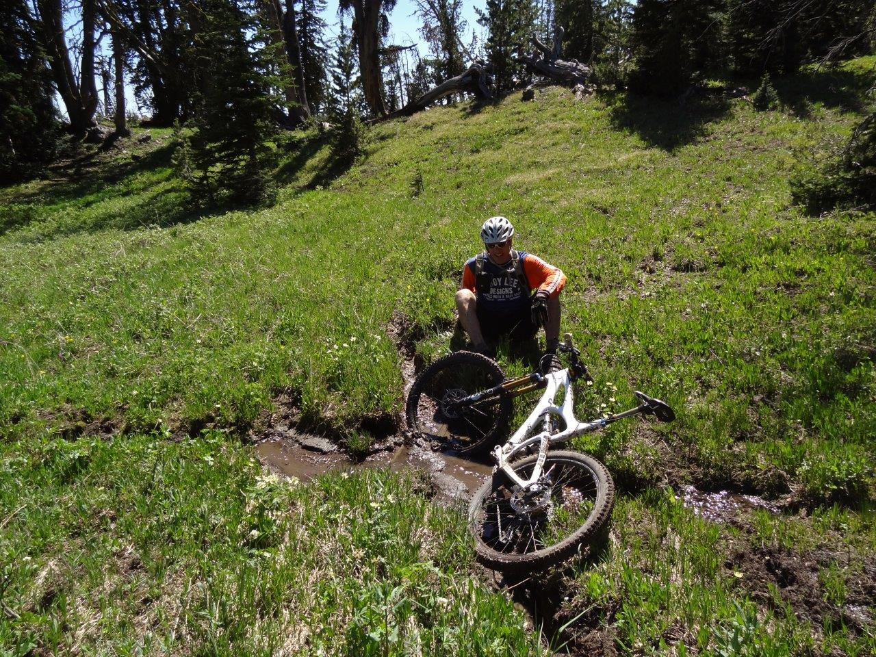
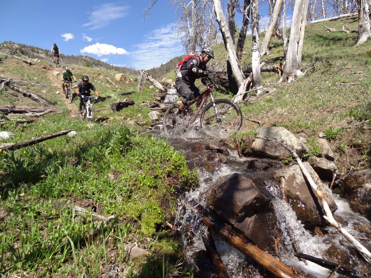
There were a few wet patches due to residual snow but aside from that the trail was in awesome shape
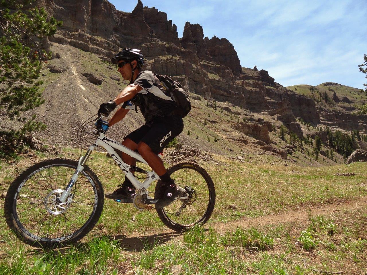
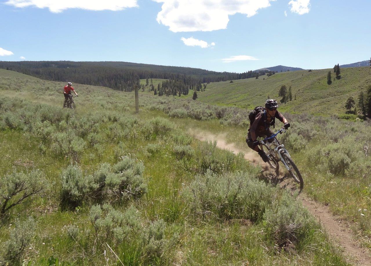
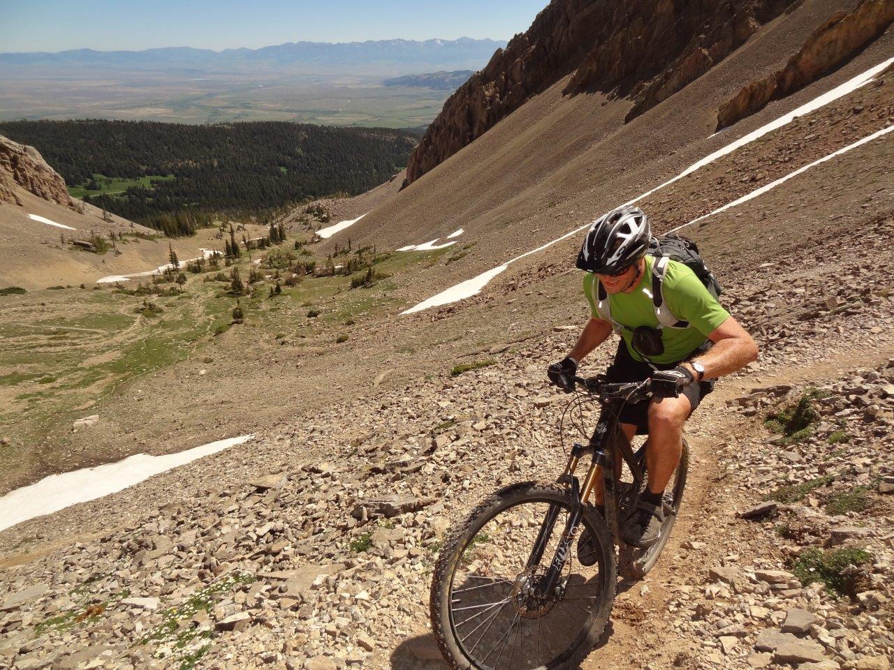
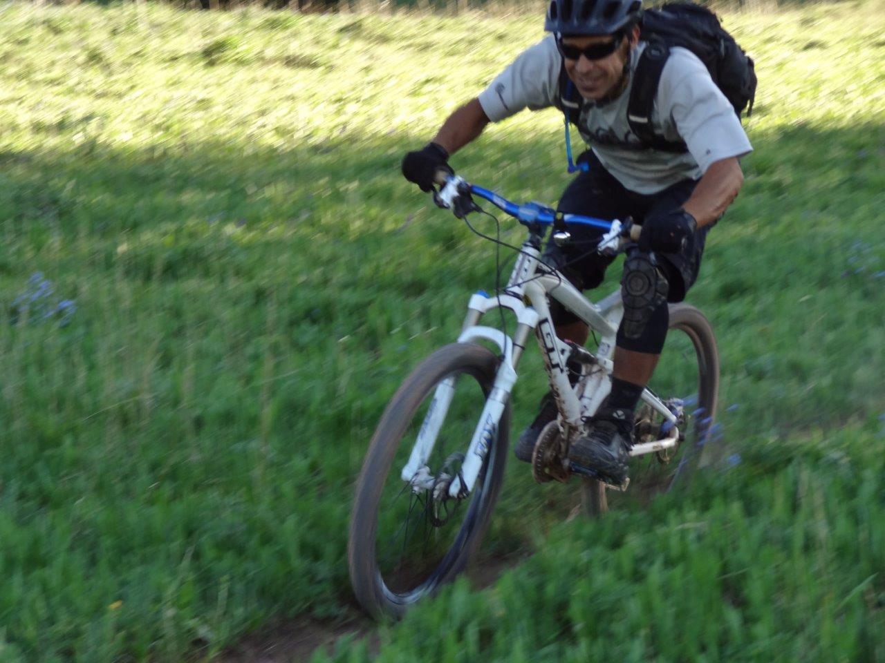
Gman at speed
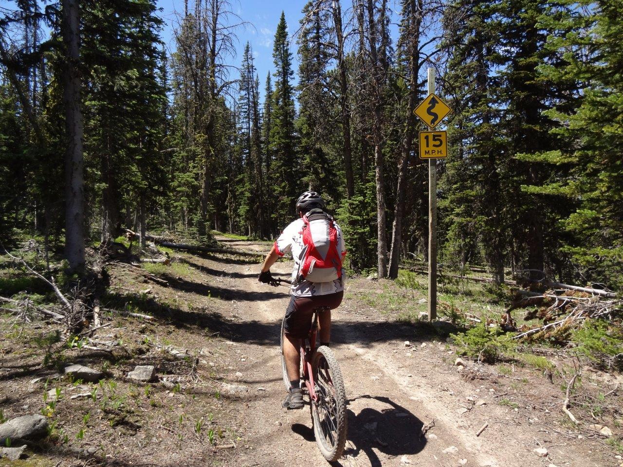
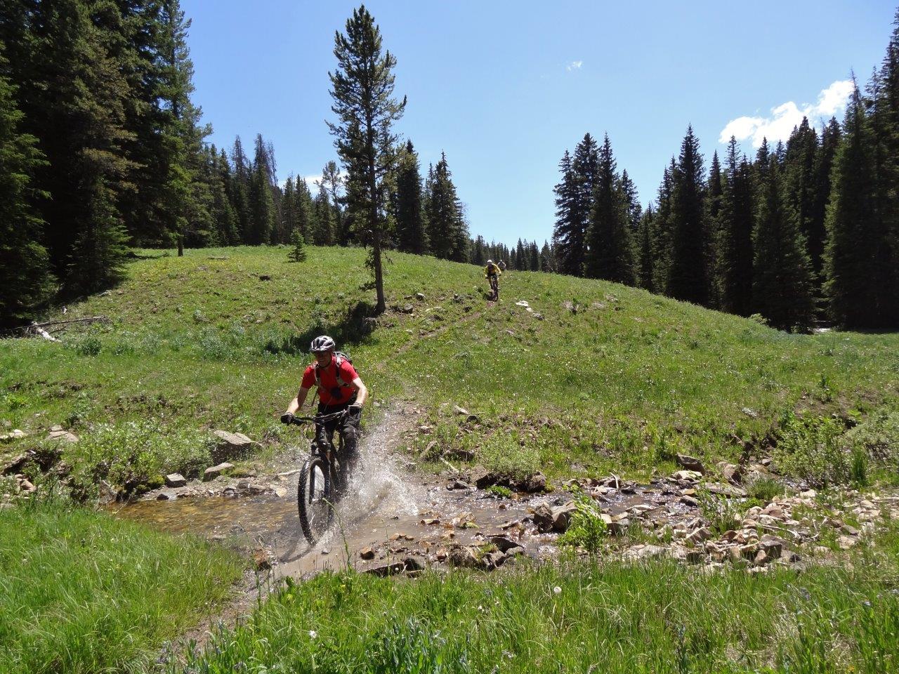
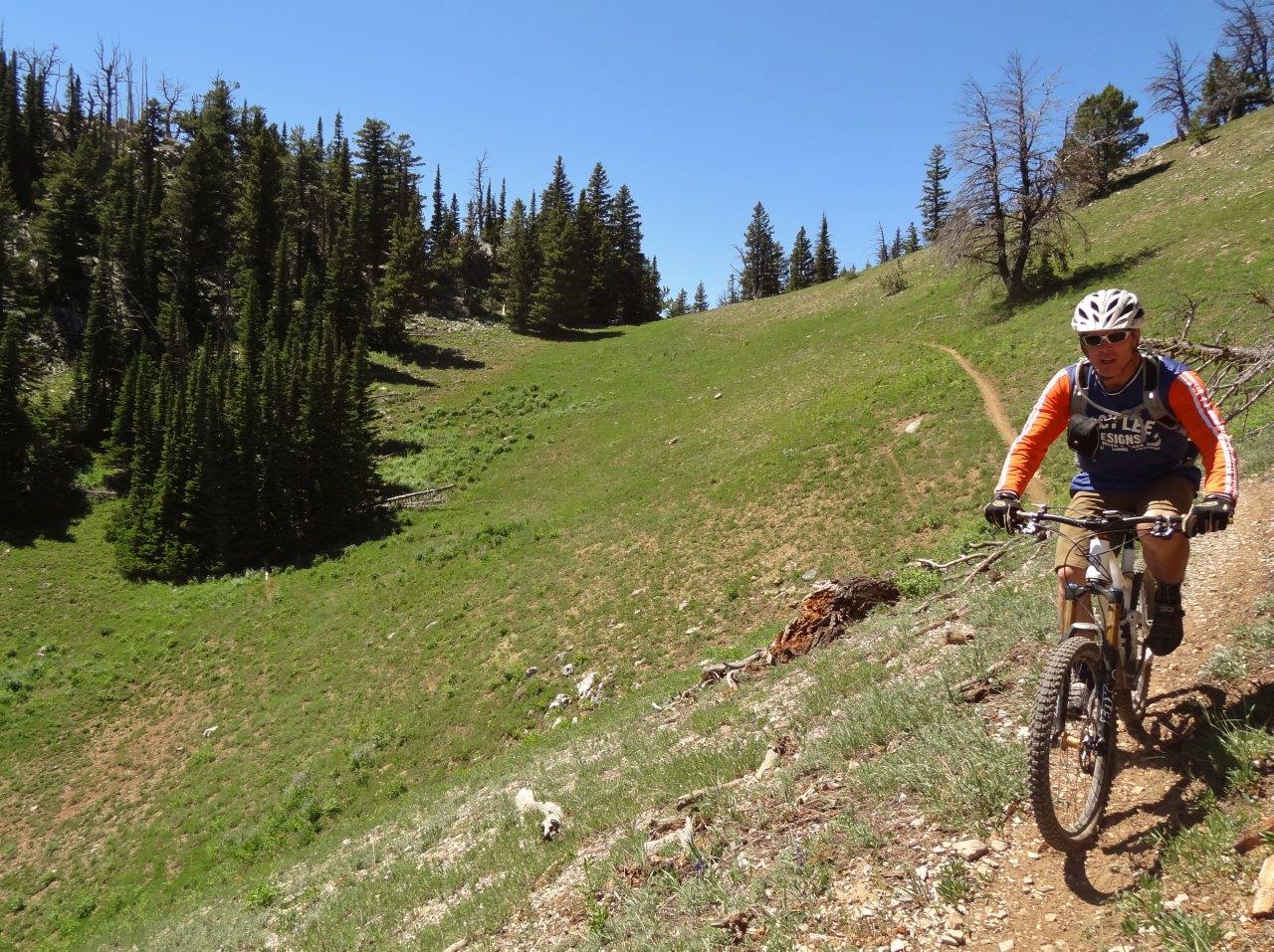
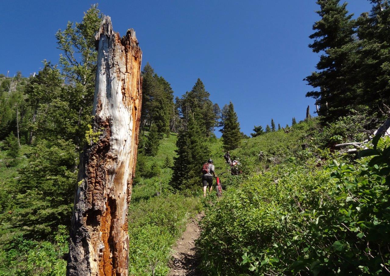
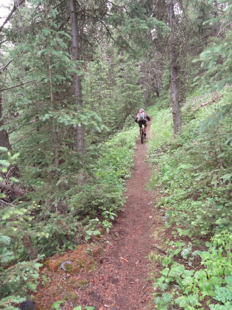
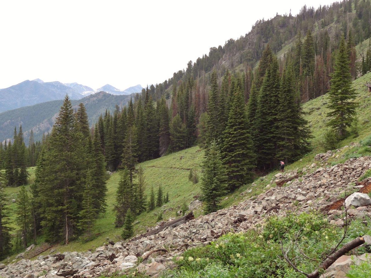
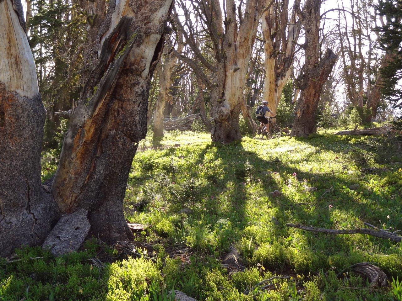
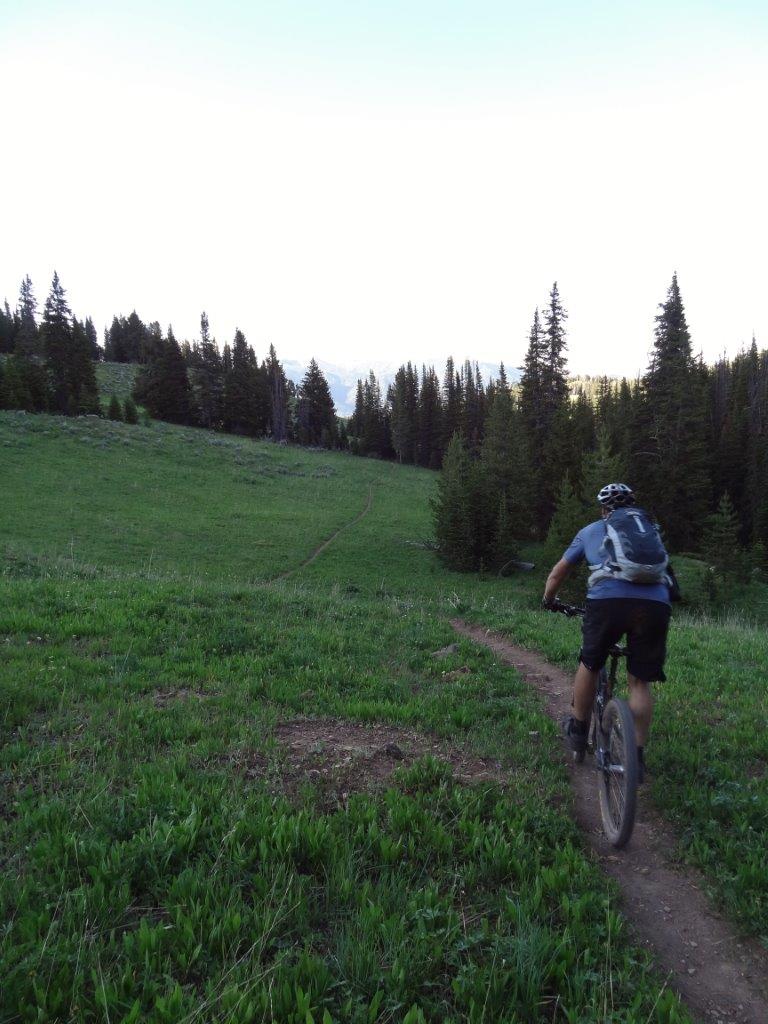
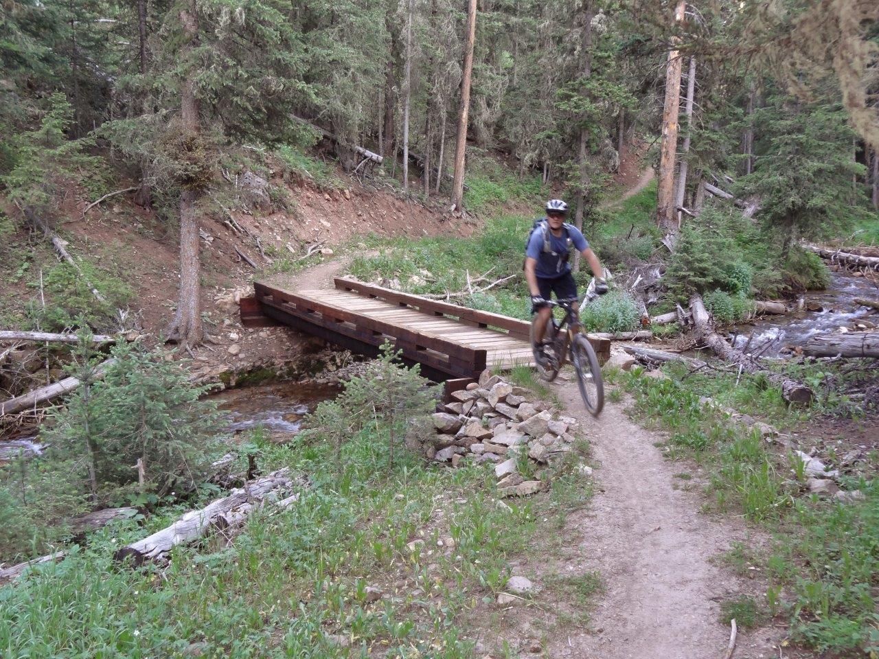
Eventually the trail drops into a ravine that you follow most of the way down
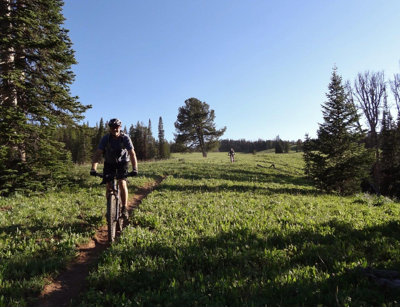
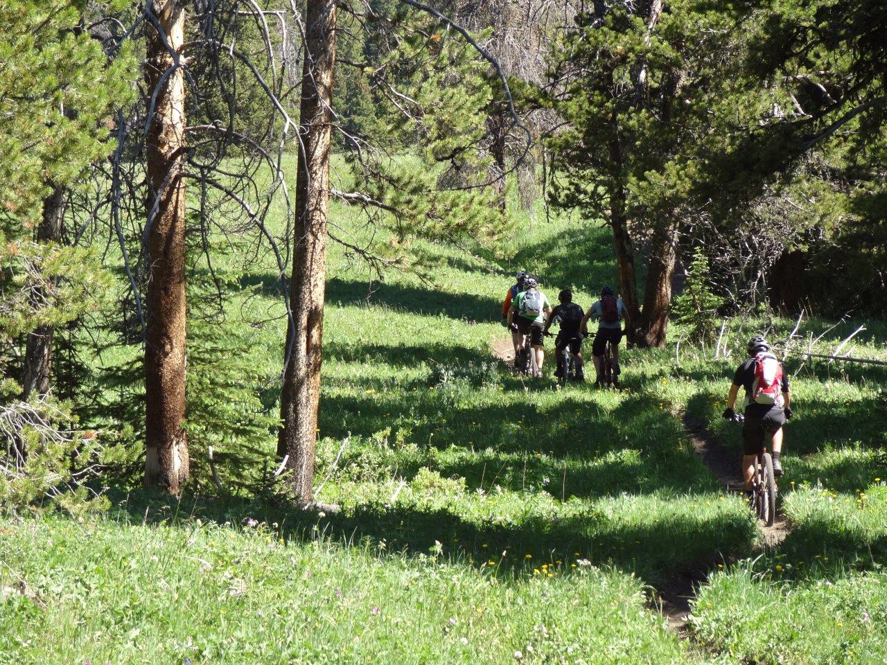
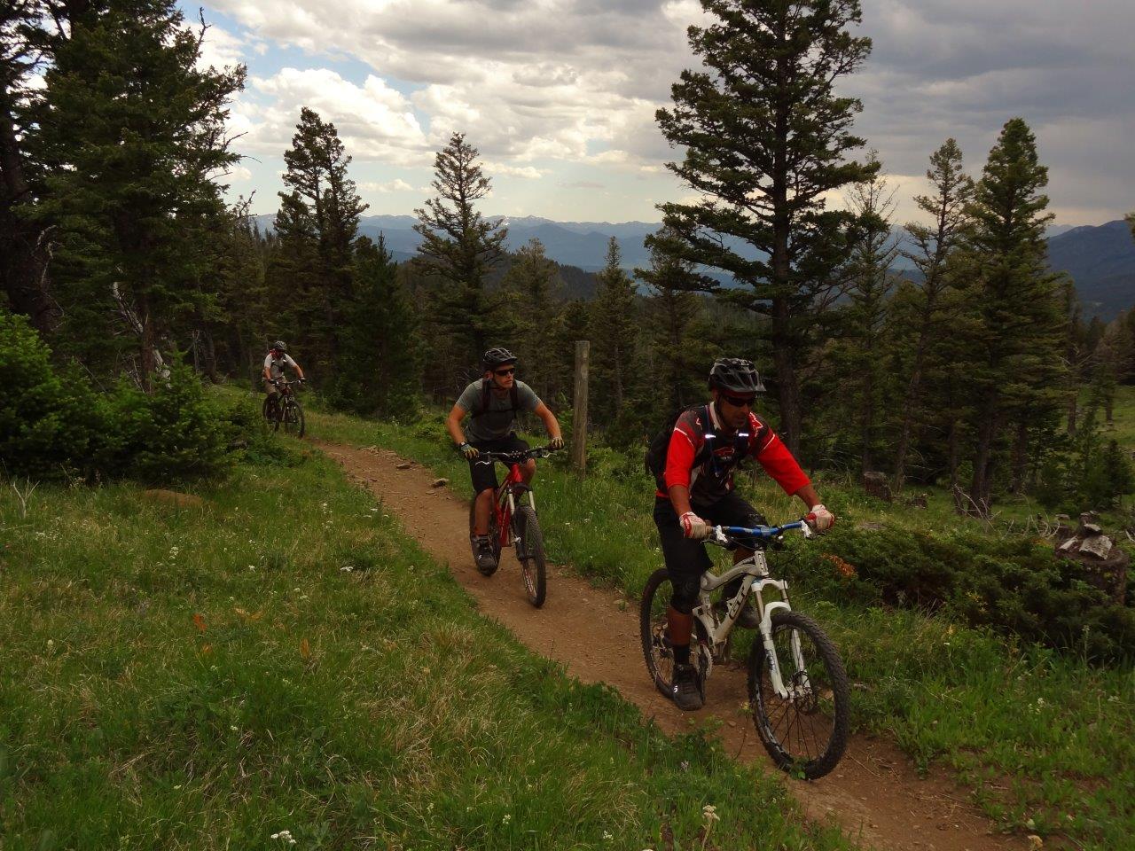
Kreechan following Gman down the last of the fast stuff
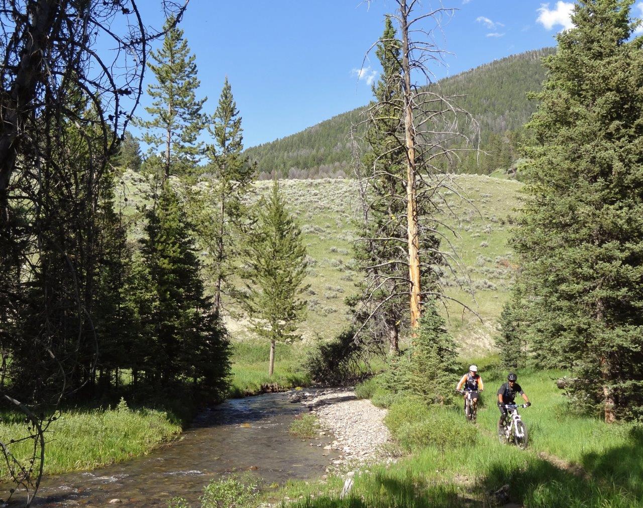
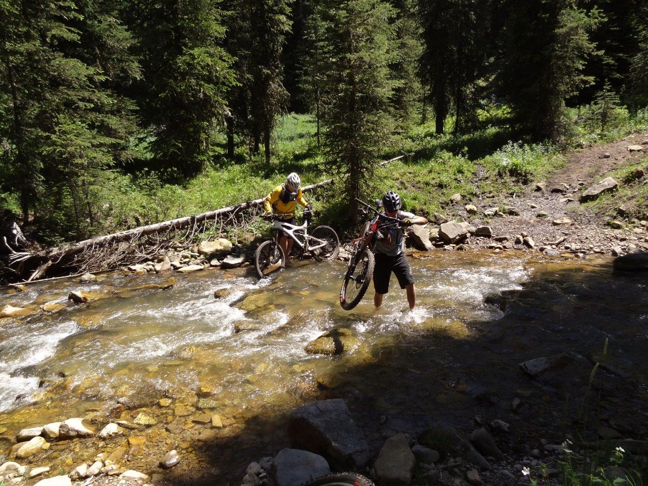
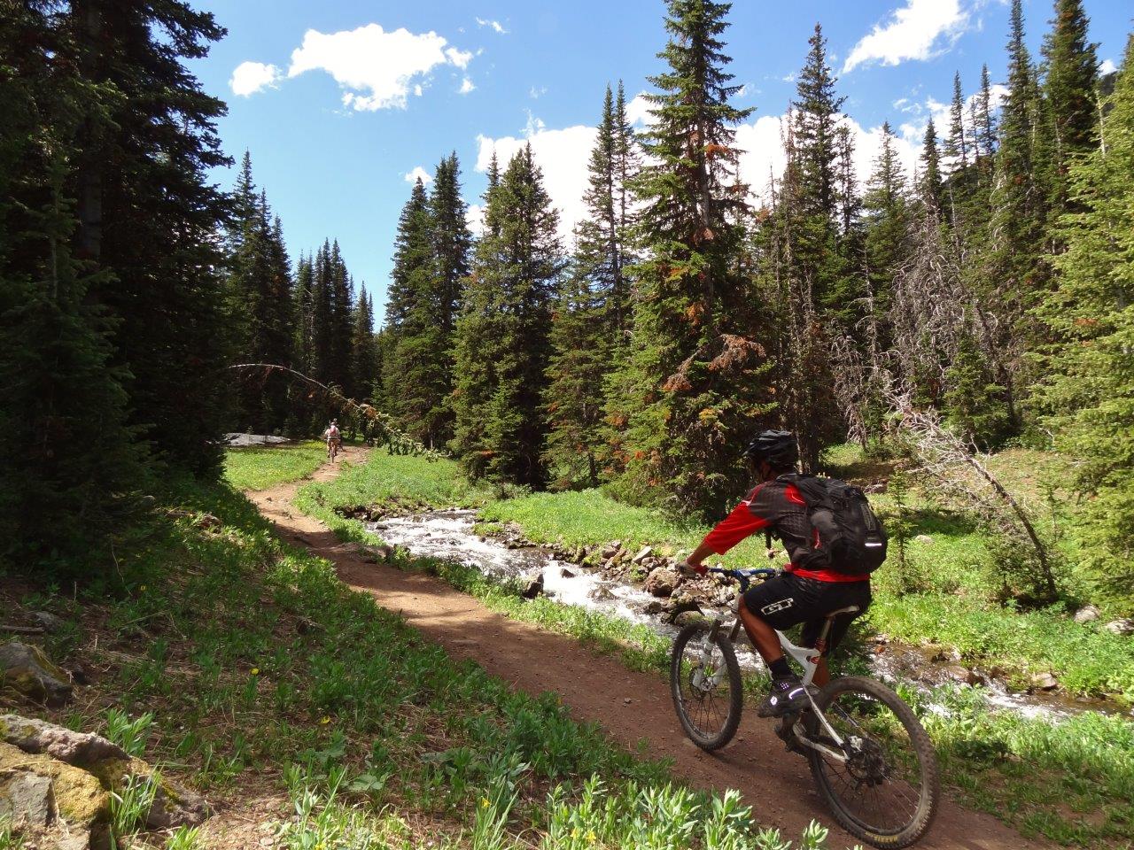
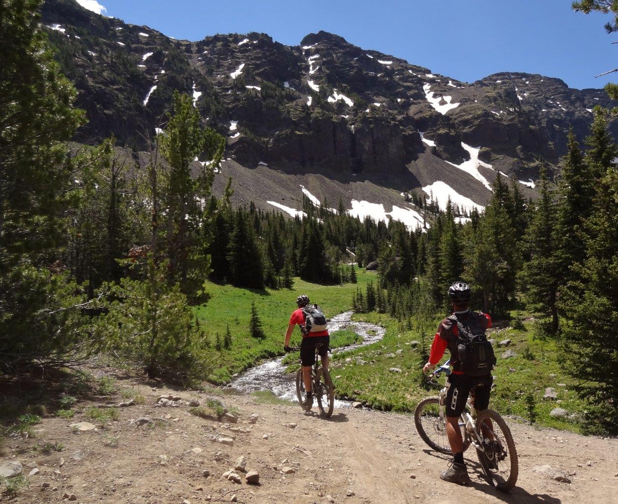
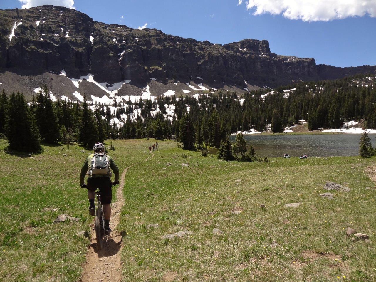
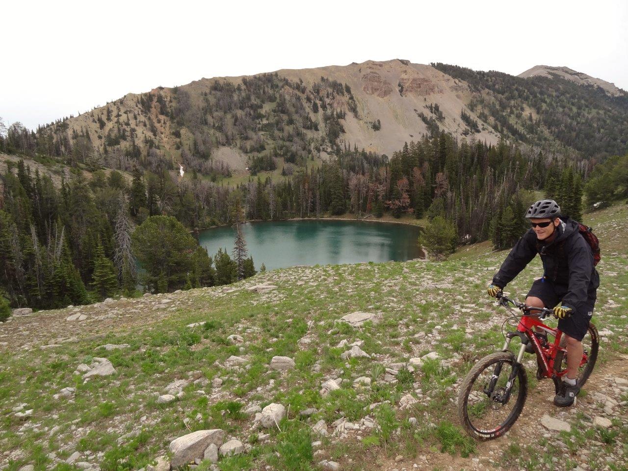
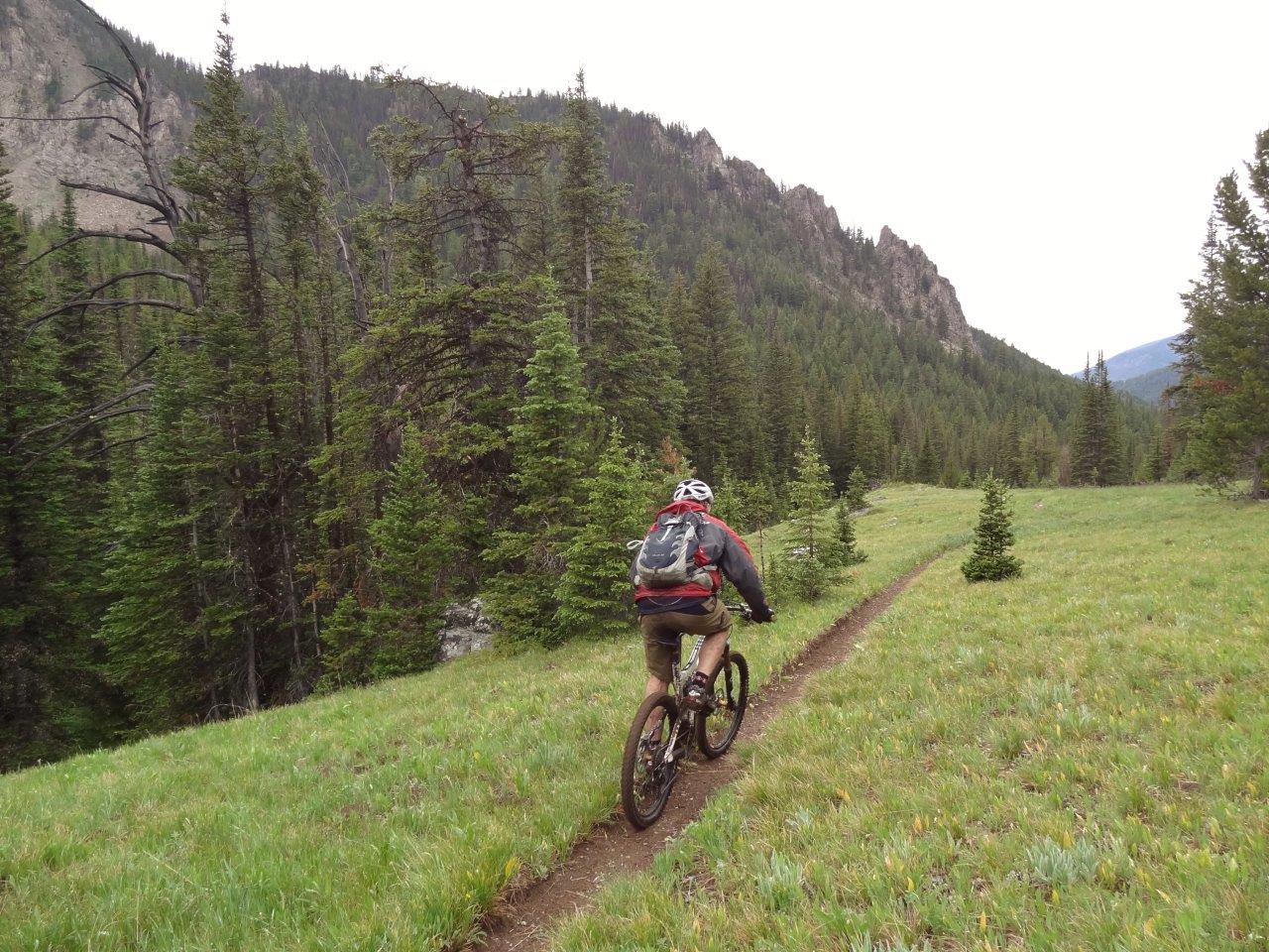
We follow First Yellow Mule Cr for a while
Which drops into the drainage of the South Fork Gallatin River
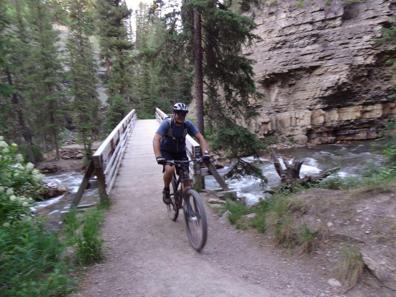
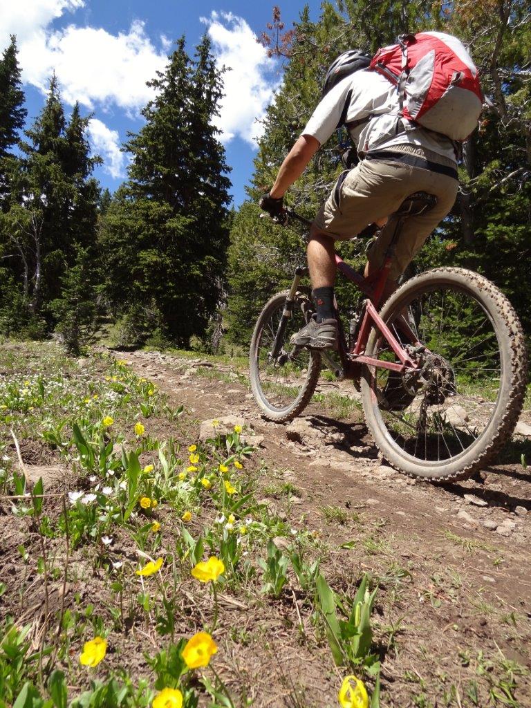
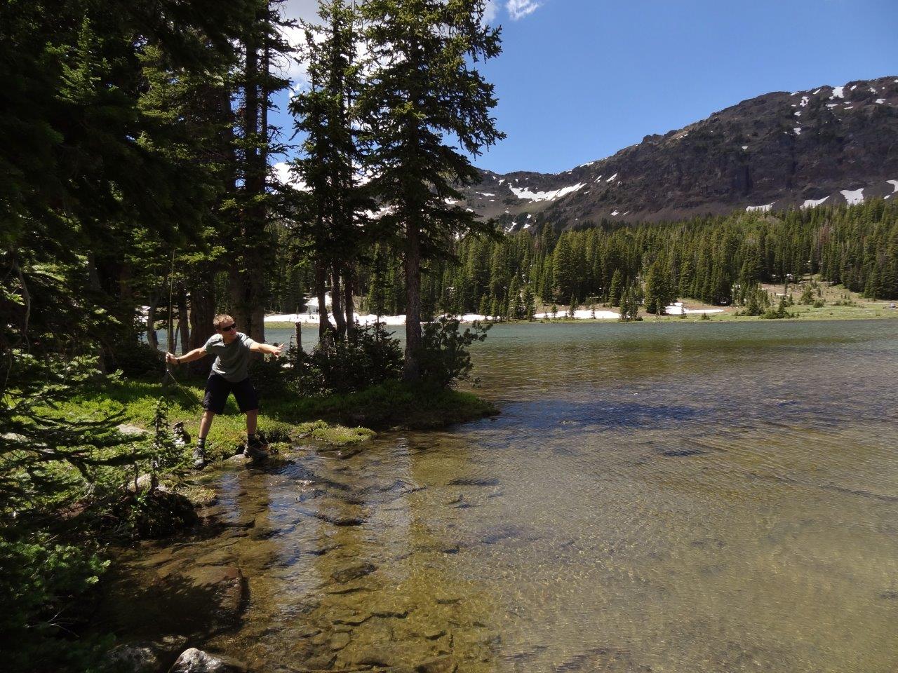
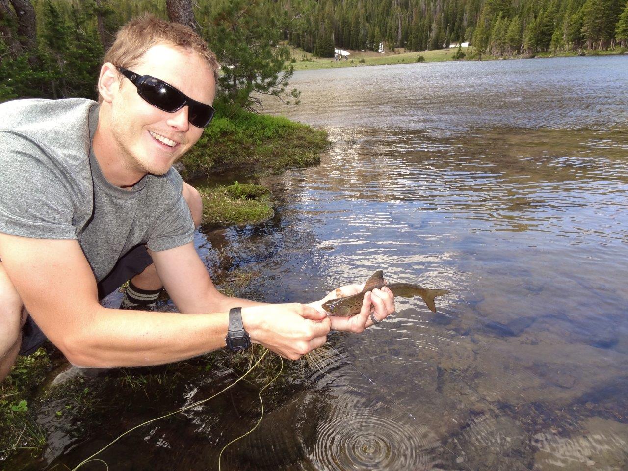
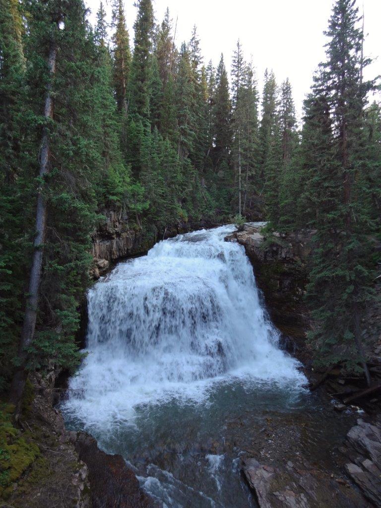
And head over to Ousel Falls
From there it was a couple miles more singletrack to the trailhead, a couple mile dirt path into Big Sky, and 9mi of paved bike path and highway back to camp. A little more than we wanted to shake the legs out, but an awesome ride all the same.
Stats, for those interested:
Elev range: 6,100 to 9,600
Gain/loss: 4,000ft
Distance: 36mi