Dirt Treaders
http://dirttreaders.com/phpBB3/

Trailforks
http://dirttreaders.com/phpBB3/viewtopic.php?f=2&t=18434
Page 1 of 1

Author:  tfitz [ Tue Jun 20, 2023 3:09 pm ]
Post subject:  Trailforks

I got lost in Alvin Meadows, so everyone said download Trailforks you cheap bastard.
So I download it I plan a ride out at Cuyamaca never have done East Mesa fire Road or Harvey Moore Trail. I look on Trailforks. It says Harvey Moore is a mountain bike trail. Not only is there no mountain bikes it’s wilderness and I don’t do wilderness.

Image
I plan a ride using the app and then get turned around I think it sucks.

Author:  avidtest [ Tue Jun 20, 2023 5:32 pm ]
Post subject:  Re: Trailforks

:lol: :lol:

Not laughing AT you Tom. You're just a funny MF'r!!

Author:  Dirtrider [ Tue Jun 20, 2023 8:24 pm ]
Post subject:  Re: Trailforks

I've tried a couple of them now and for me, TF is the best that I have used

Go to Vail, avidtest will ride with you :lol: :cheers:

Author:  evdog [ Tue Jun 20, 2023 9:33 pm ]
Post subject:  Re: Trailforks

TF has a mapping team that has been randomly adding trails themselves. I've found a bunch like Harvey Moore that are in Wilderness but listed as open to bikes. HM can be forgiven because it's state wilderness and it's hard to find maps for that. But for Federal Wilderness all they need to do is turn their own "Landowner" layer on, and it shows the Wilderness areas. That's a really useful layer. You can go into TF and edit the trail description when you find these. I've already edited Harvey Moore. Now you have to change user type to hiker and it will show up.

tfitz wrote:
I look on Trailforks. It says Harvey Moore is a mountain bike trail. Not only is there no mountain bikes it’s wilderness and I don’t do wilderness.

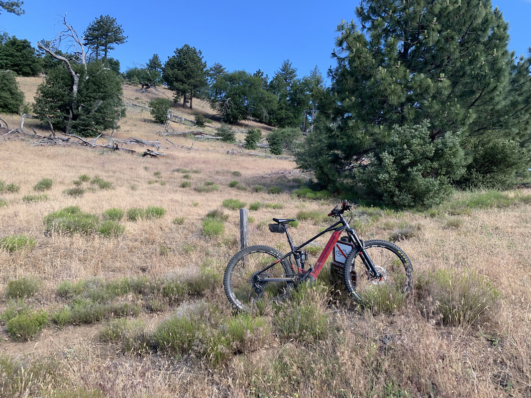
Trailforks won't really help you much at Alvin meadows/HUB trails lol.

You'll spend the whole time trying to figure out why the intersection you're at doesn't show up (plenty of trails and short connectors aren't on it) or which of the squiggly lines leaving from an intersection is the one you want.

Better to just enjoy exploring trails the way we used to do....ride them and find out where they go. All you really need to navigate there is know where the forest roads are that bound the system, and don't go outside of them. Descend trails, climb fire roads.

Author:  OldDogDan [ Tue Jun 20, 2023 11:24 pm ]
Post subject:  Re: Trailforks

^^^ Actually, I like the old school ways too, but at Alvin Meadows I do find it very helpful to use TF combined with a paper copy of the Hub Cyclery map. It’s true you often don’t know exactly where you are, but it will help you find those awesome trails whose names you might have heard, and hopefully keep you from going in circles or too far downhill southwest with a looong grind back to your vehicle.

Author:  OldDogDan [ Wed Jun 21, 2023 8:19 am ]
Post subject:  Re: Trailforks

PS - thanks Evan for editing the Harvey Moore trail and reminding us it was user-editable. I noticed that no-bikes error on HM a few years ago, and mistakenly rode Owl Trail which is also no-bikes and didn’t have explicit signage. That one has been fixed since then. It was fun though.

Also thanks for the tip about the landowner layer. It takes a while to learn how handy some features can be. I ended up on a horrible hike-a-bike near Tahoe a while back when I missed a trail reroute, which hadn’t been edited in, and which I could’ve easily seen if I’d checked the heat map.

Author:  tfitz [ Wed Jun 21, 2023 9:00 am ]
Post subject:  Re: Trailforks

Thank you guys for your support. Evan your expertise always amazes. I guess I downloaded Trailforks for safety because my mind does not have an automatic navigational skill in it anymore. I will try to go old-school, keeping the phone in my pocket though.

Page 1 of 1 All times are UTC - 8 hours [ DST ]
Powered by phpBB® Forum Software © phpBB Group
http://www.phpbb.com/