Dirt Treaders https://dirttreaders.com/phpBB3/ |
|
Exploring Anza Borrego https://dirttreaders.com/phpBB3/viewtopic.php?f=20&t=17871 |
Page 1 of 2 |
Author: | evdog [ Thu Apr 04, 2019 9:36 pm ] |
Post subject: | Exploring Anza Borrego |
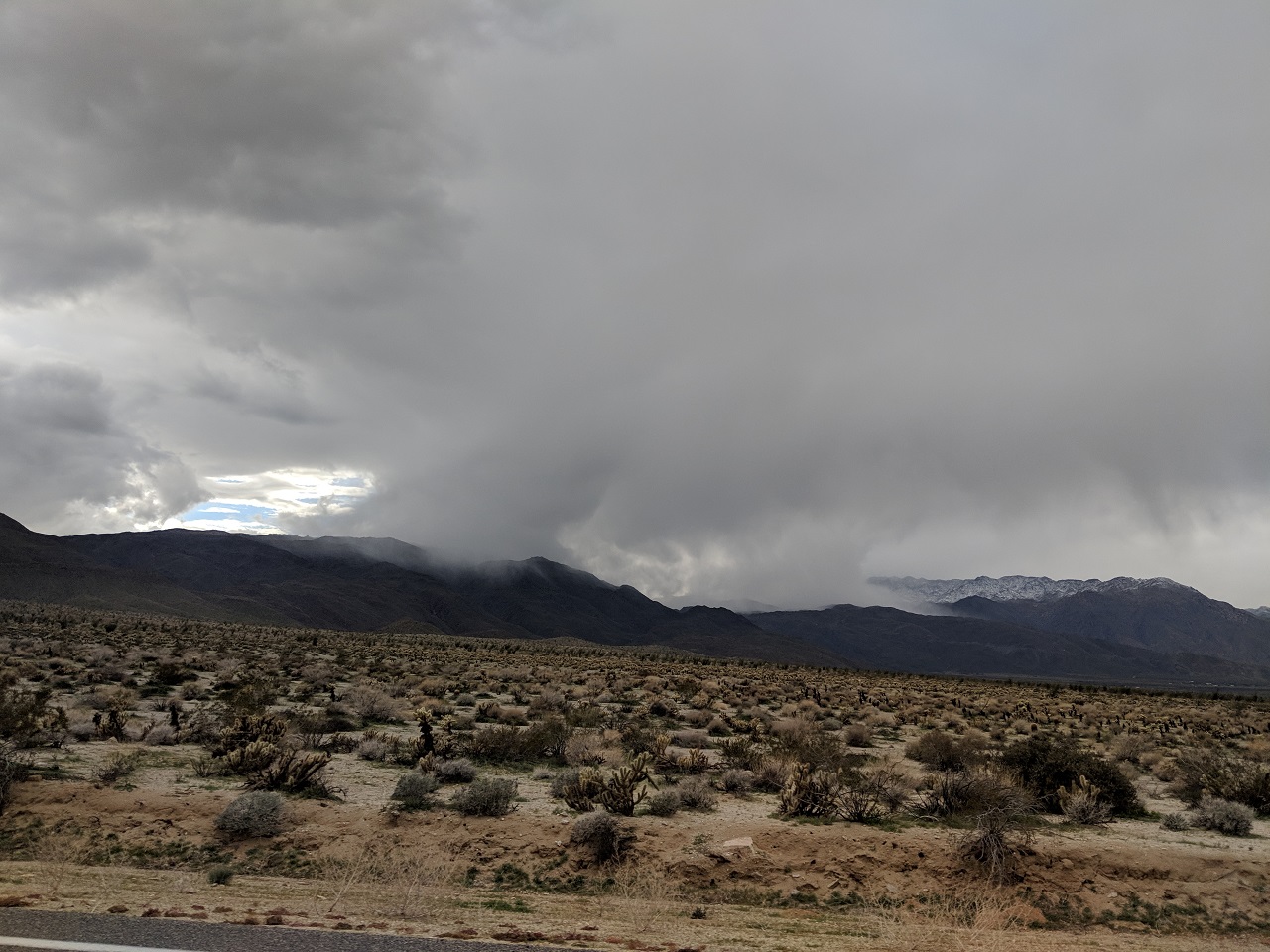
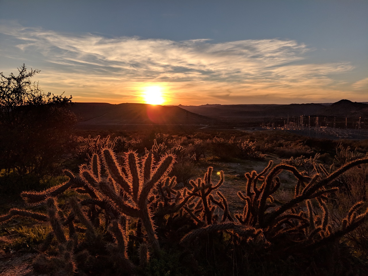
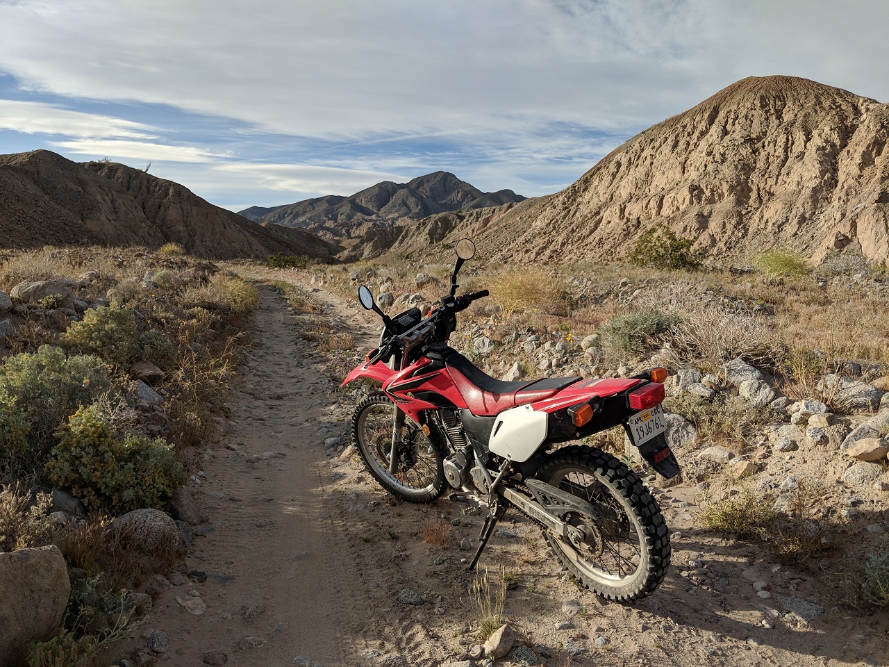
With all the rain we've had this winter heading out to the desert has been a great way to keep pedaling. I've been meaning to spend more time out there for years so this along with this year's superbloom were all the excuse I needed. I'm way behind on pics but figured these trips were worthy of a thread since a lot of people only know the main rides like Pinyon Mtn to Fish Creek for biking. I wanted to see what else there was that could be good for MTB, and also explore some connections for future bikepacking routes. First trip this year was back in January 
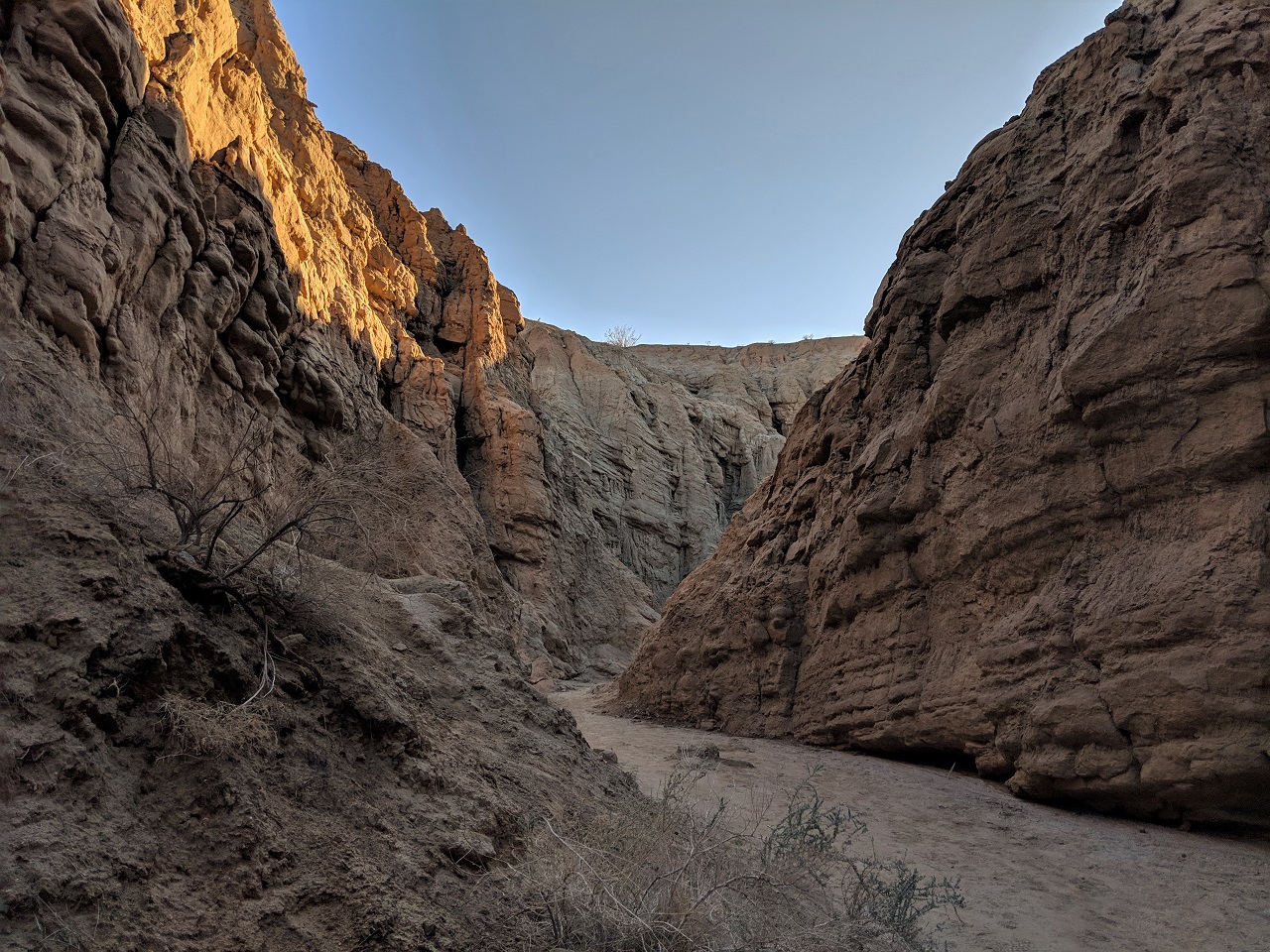
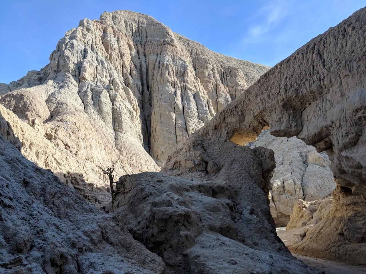
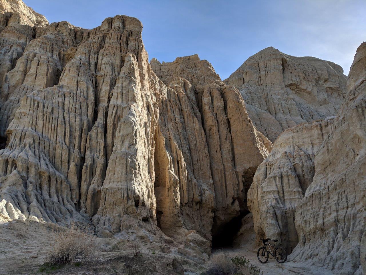
I'd ridden part of this route before but wanted to check out some side canyons off Arroyo Tapadio. The route was Canyon Sin Nombre to Seco del Diablo to Arroyo Tapadio to South Carrizo Creek with a couple miles on pavement to close the loop. Very cool scenery and lots of stuff to explore on foot as well. Pedaled the highway first as a warmup and to get it out of the way 
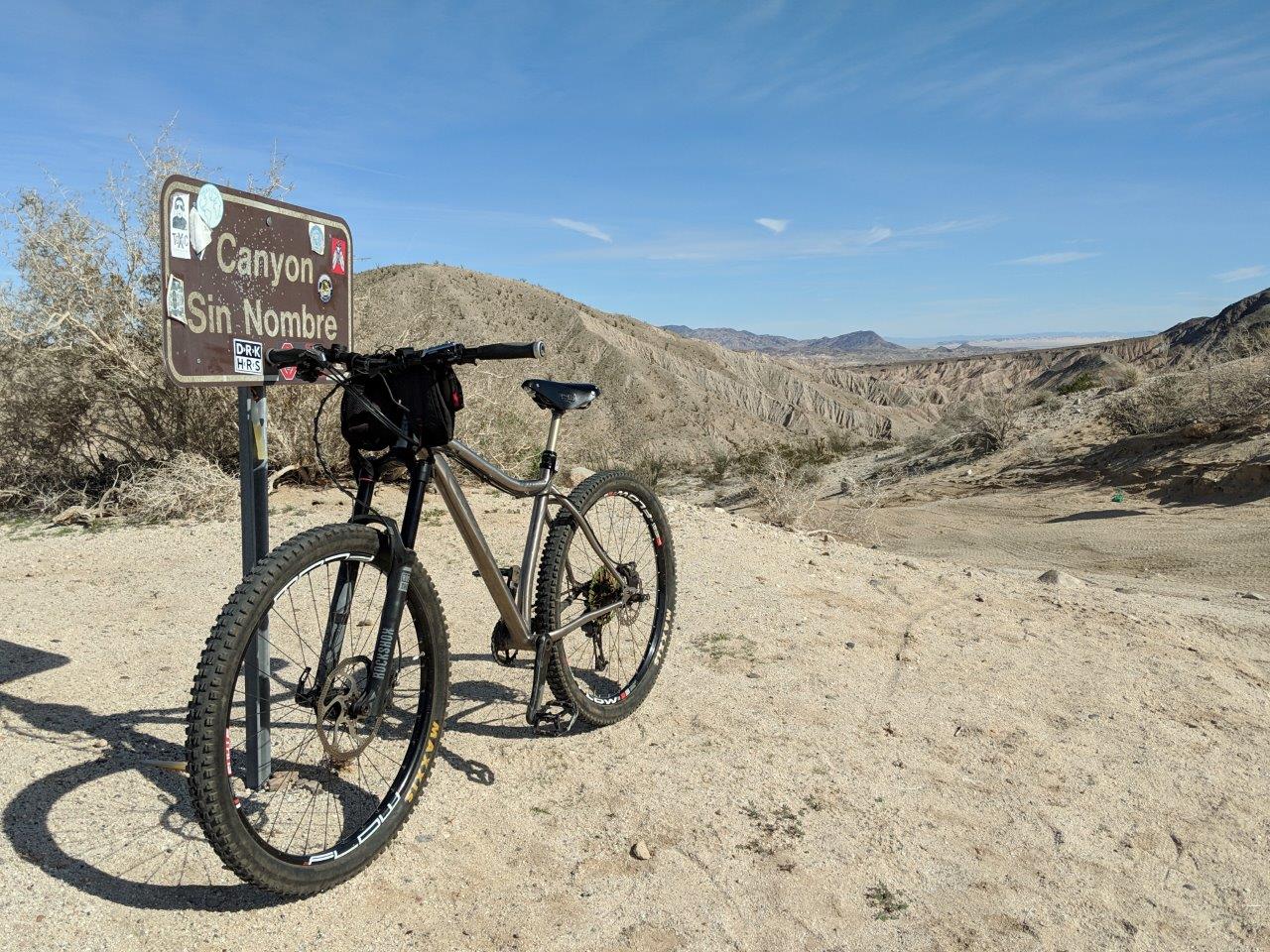
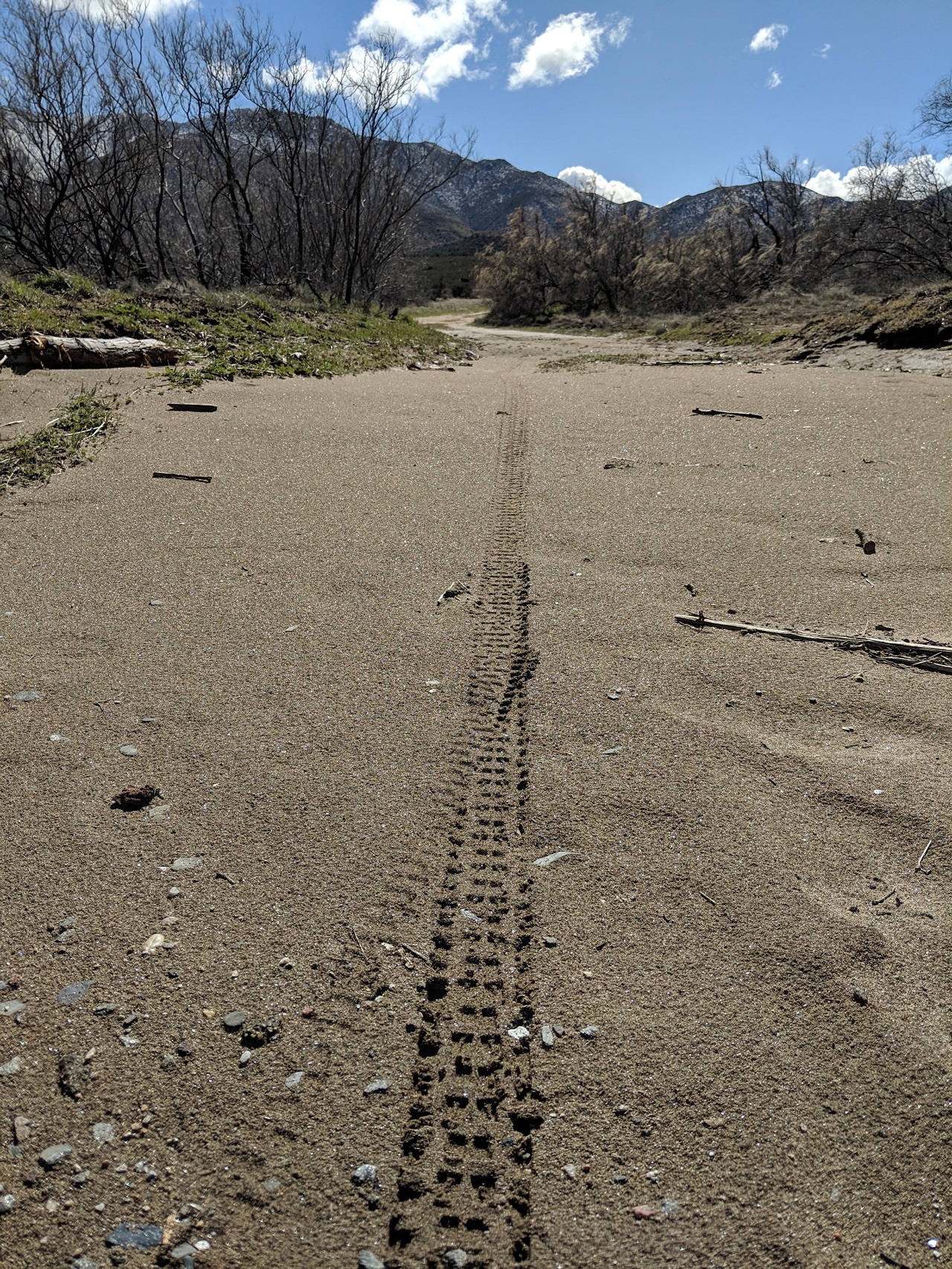
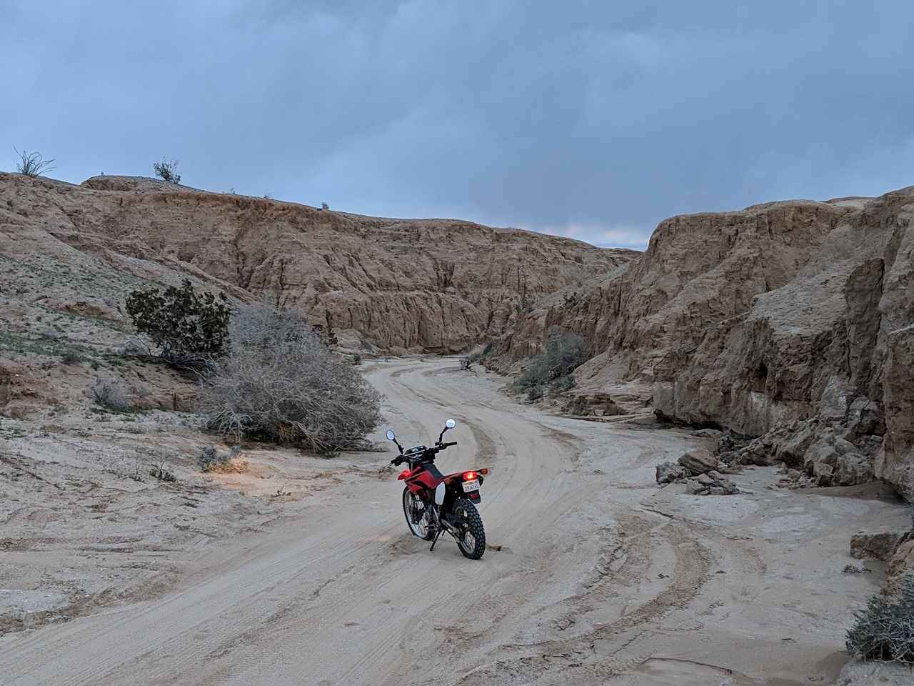
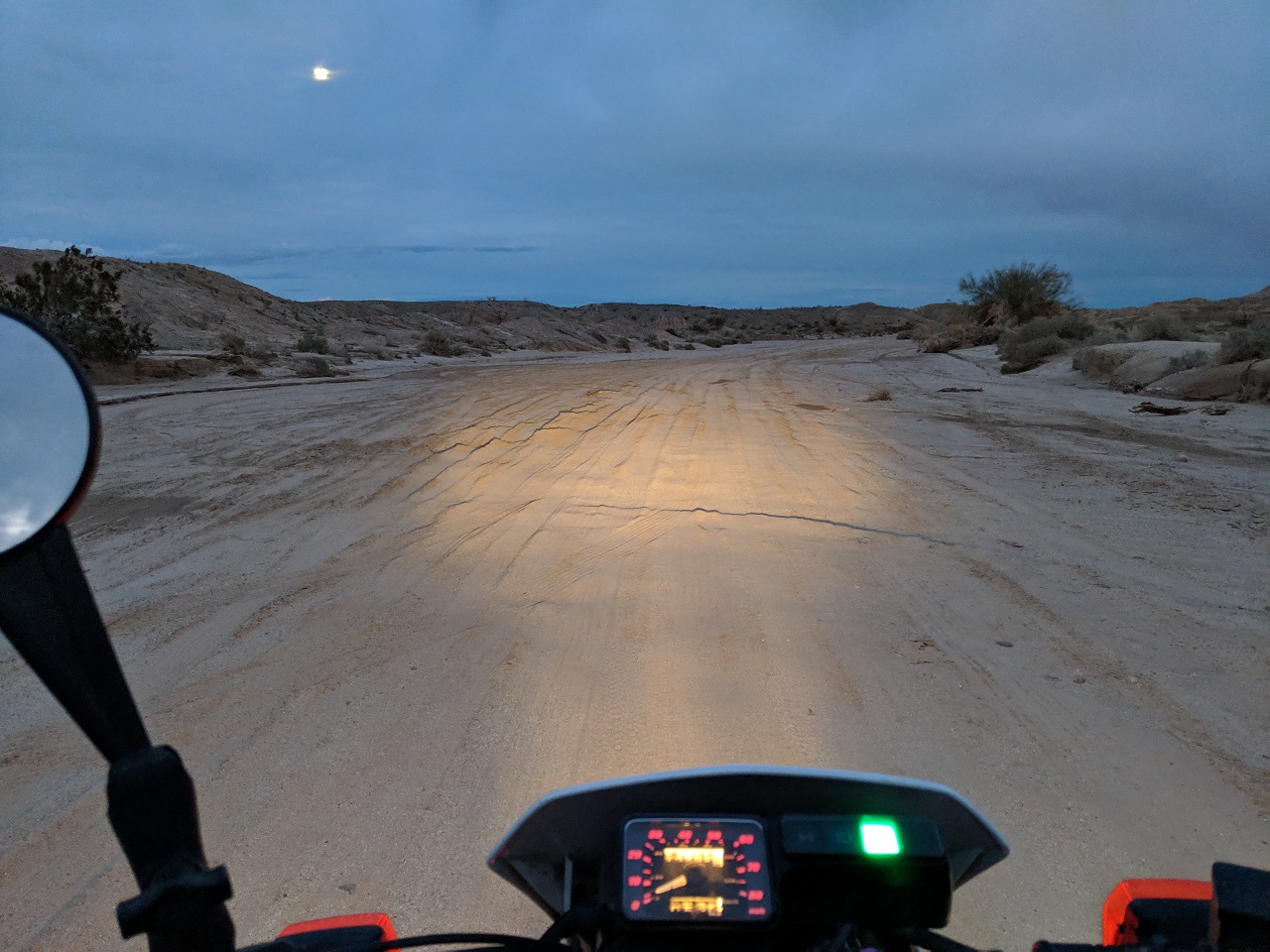
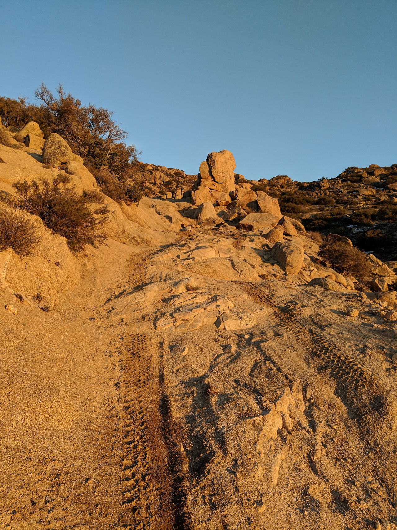
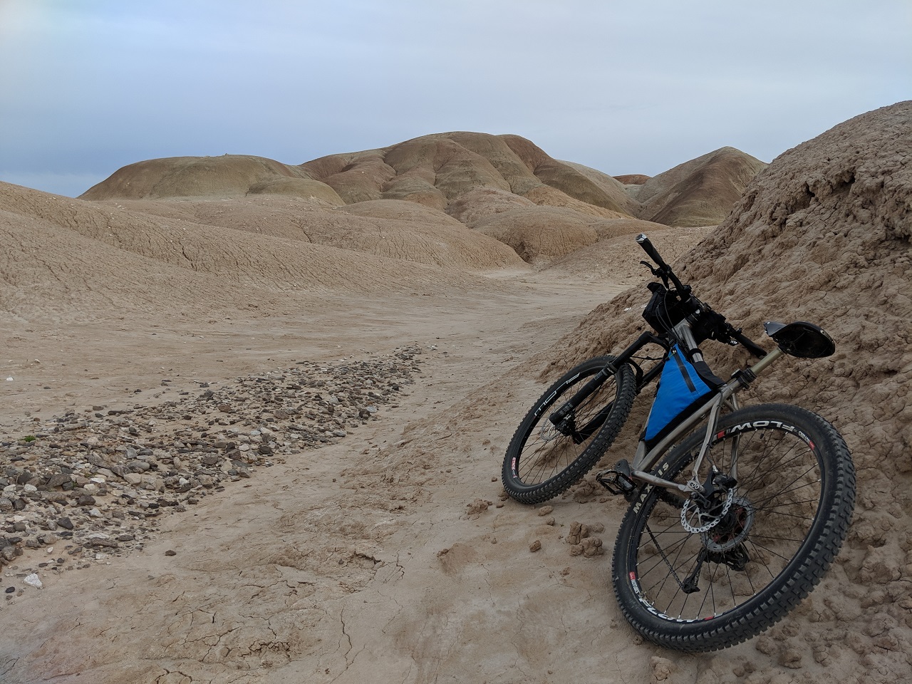
Canyon Sin Nombre starts with a fast sandy descent into the canyon before mellowing out 
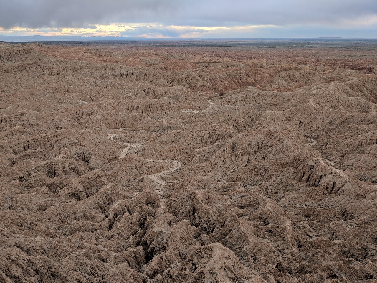
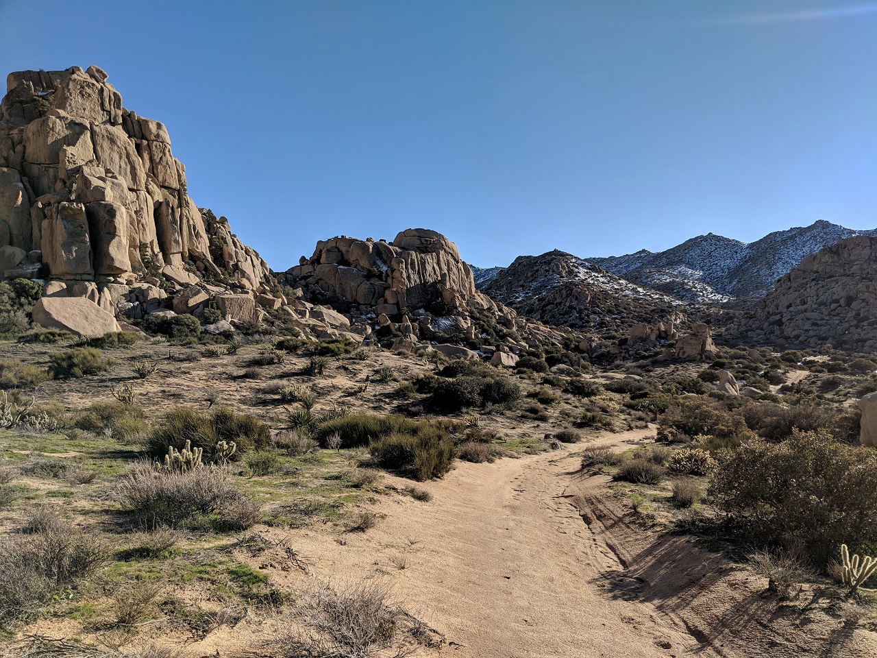
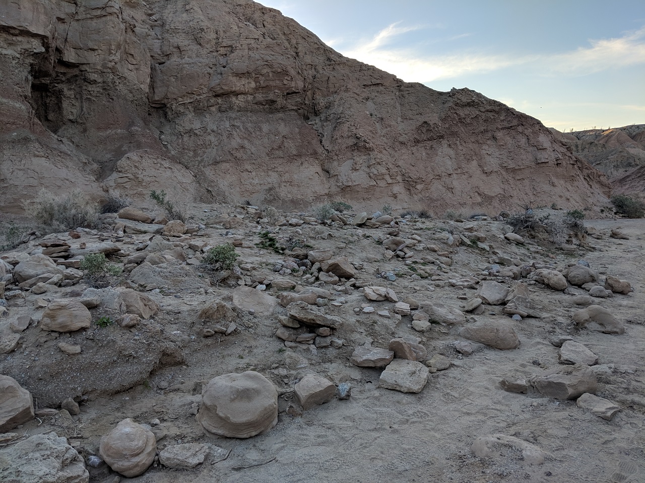
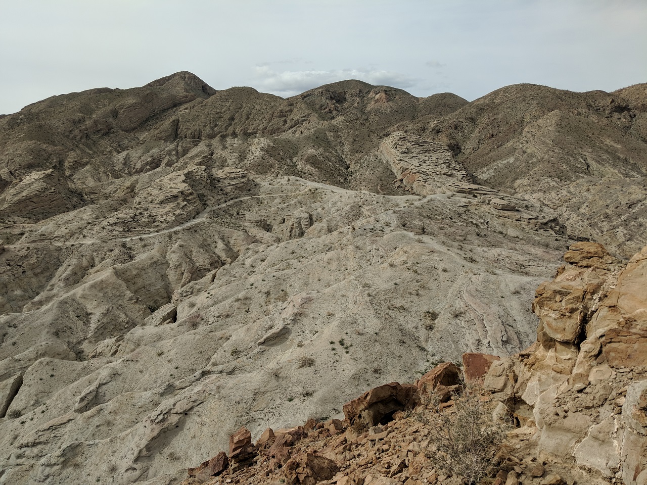
Scenery is best at the top, after that it just winds through some generic canyons until you get dumped out in a flat wash area. 
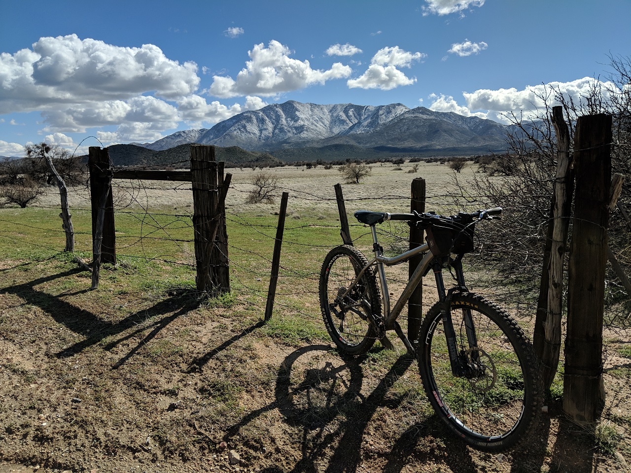
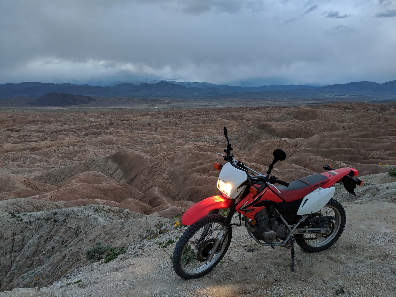
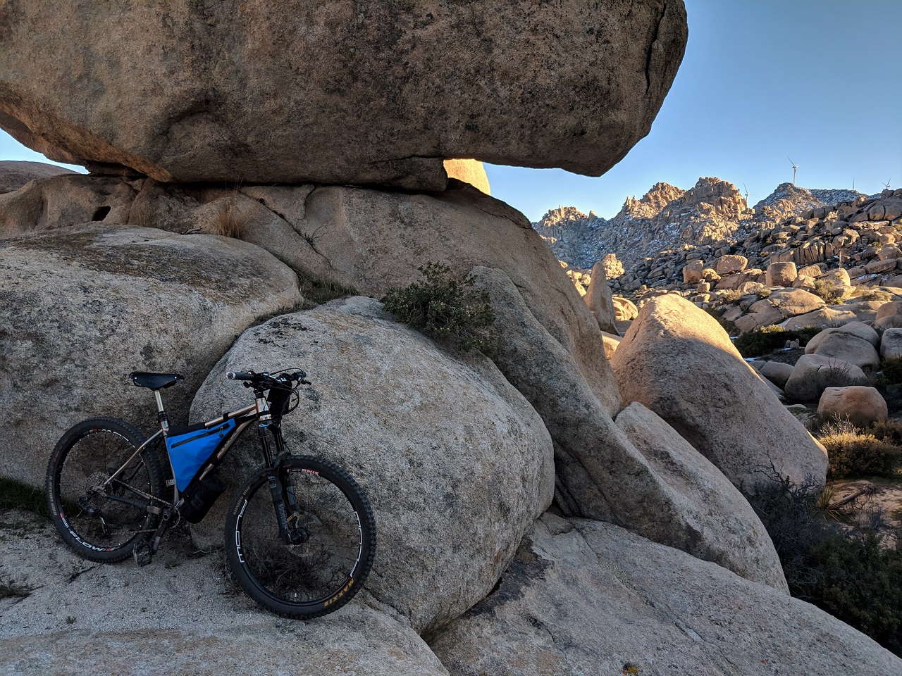
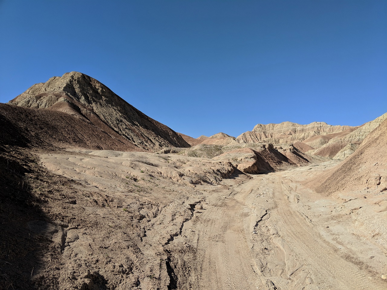
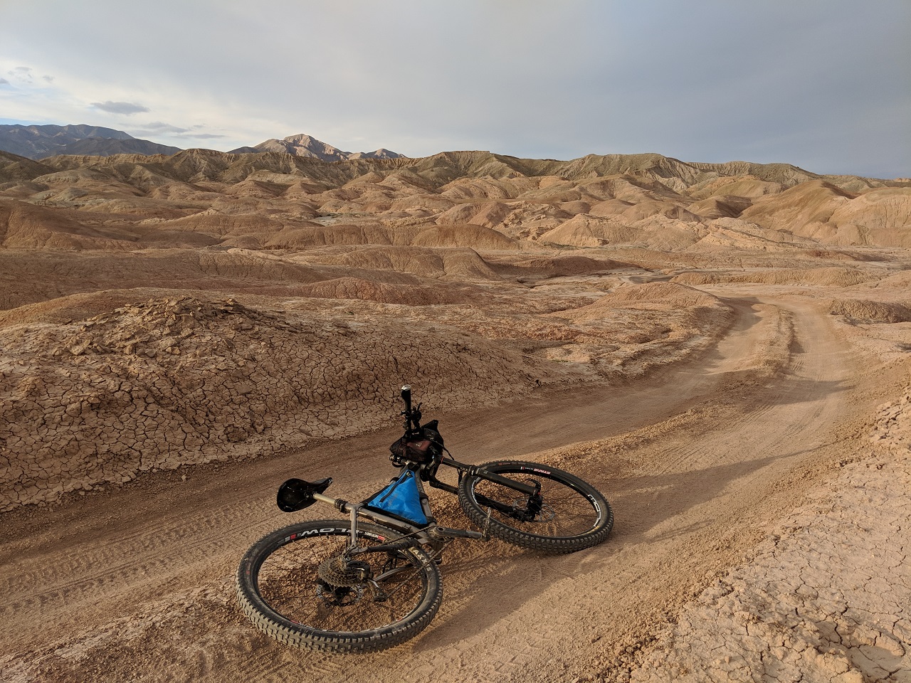
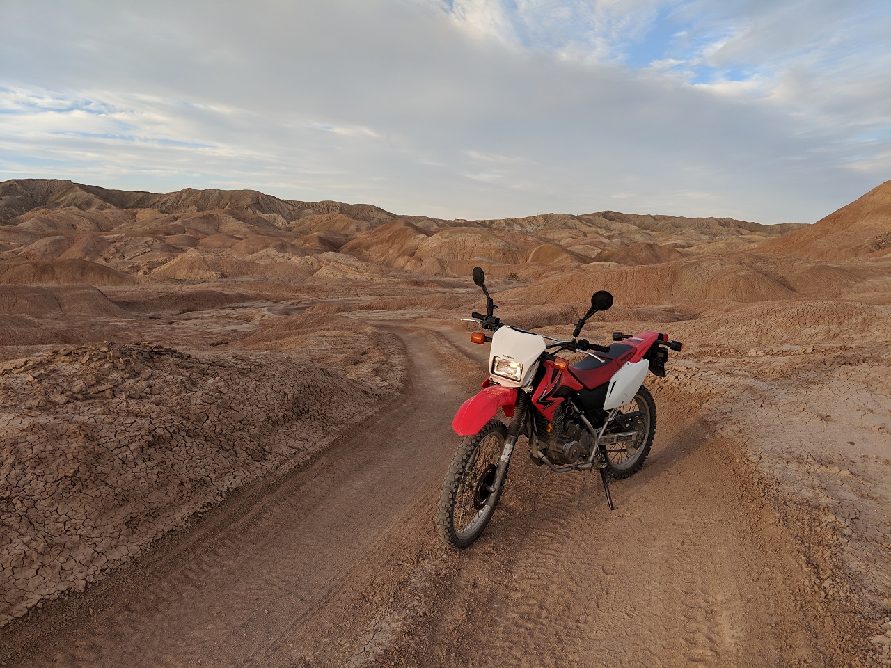
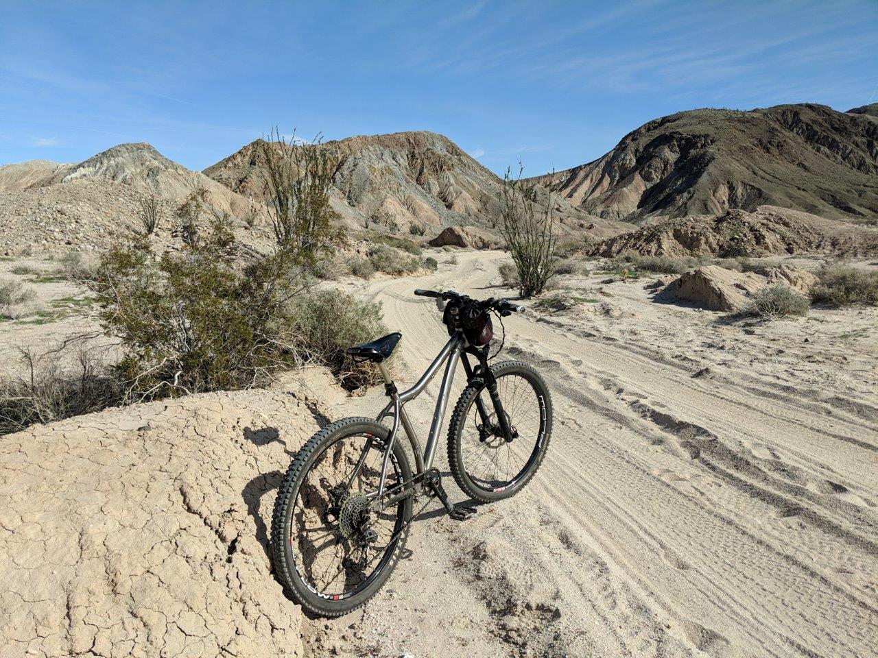
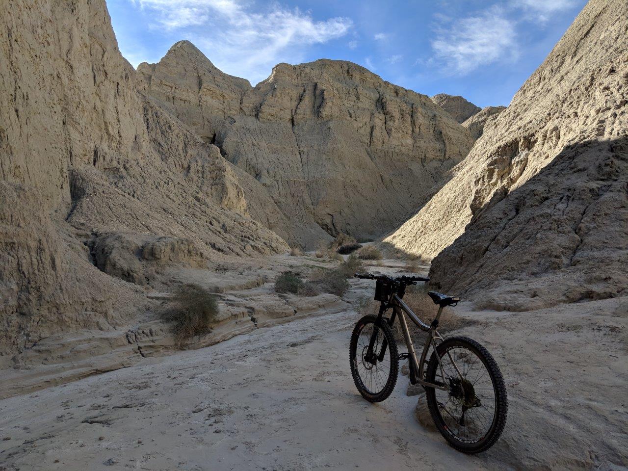
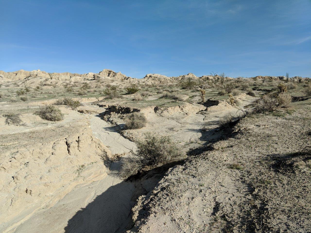
The climb up Seco del Diablo is similar. It's a mellow 1-3% grade for about 9 miles up a meandering canyon. Kinda cool but not spectacular. Pic below is from the flat land at the head of the canyon, about to drop into Arroyo Tapadio 
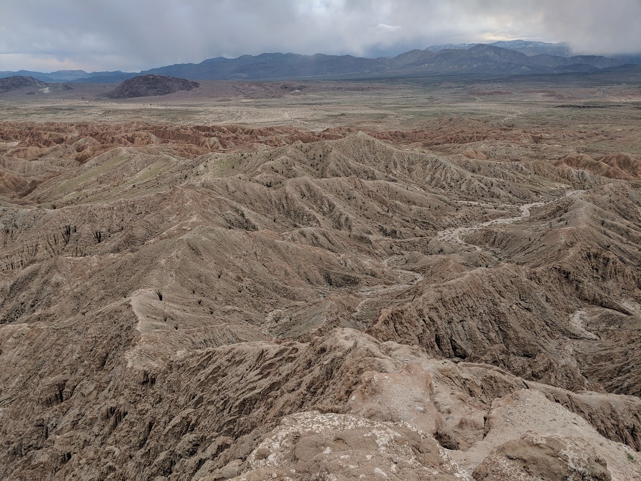
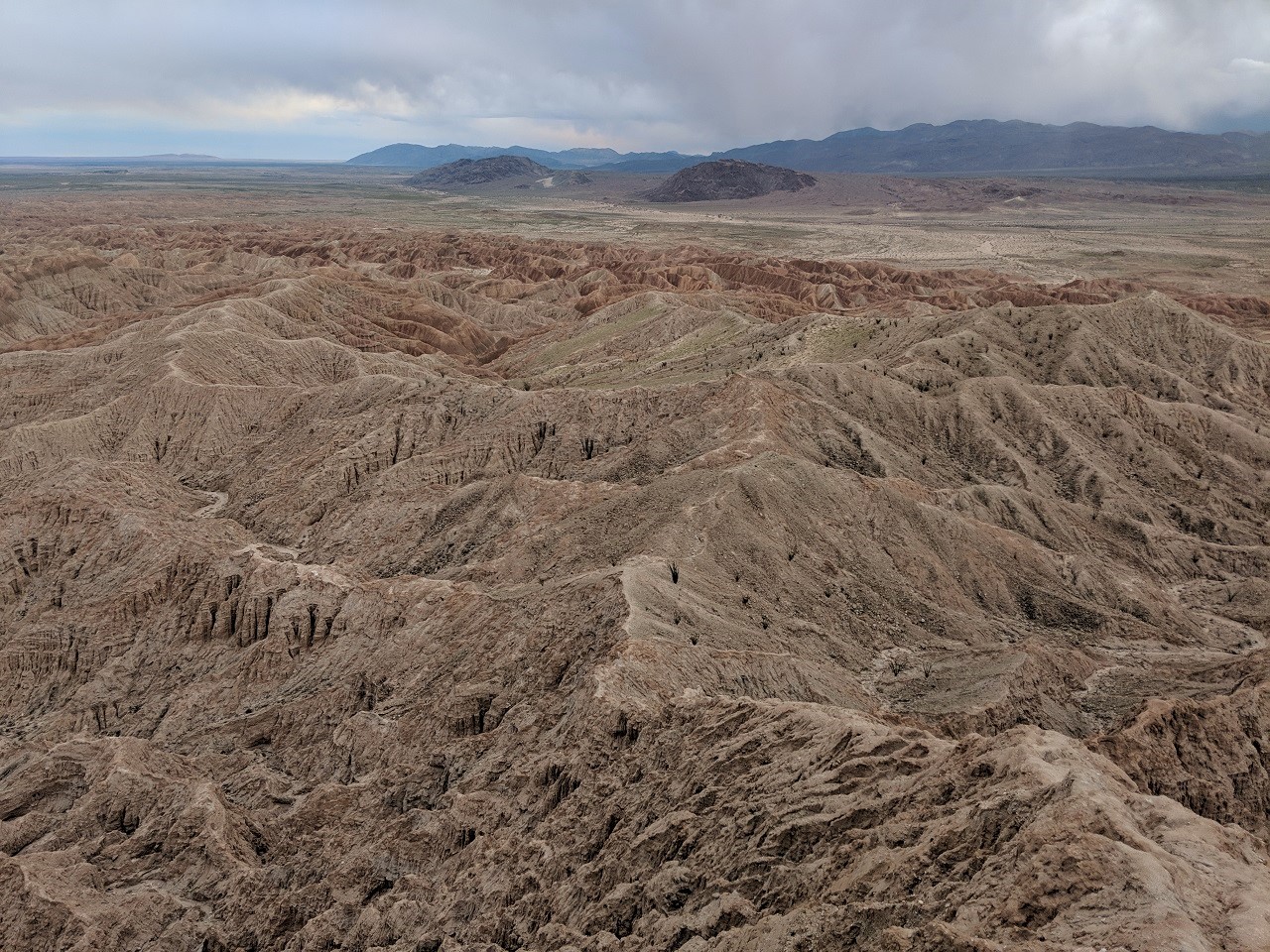
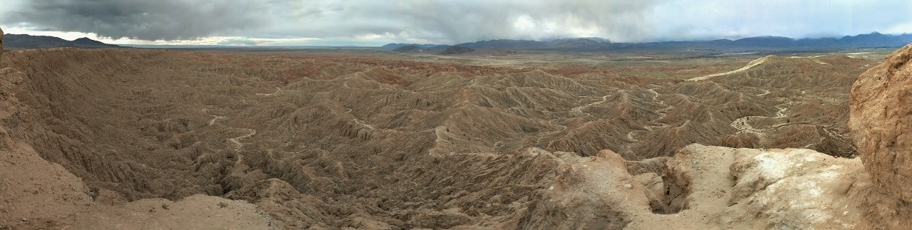
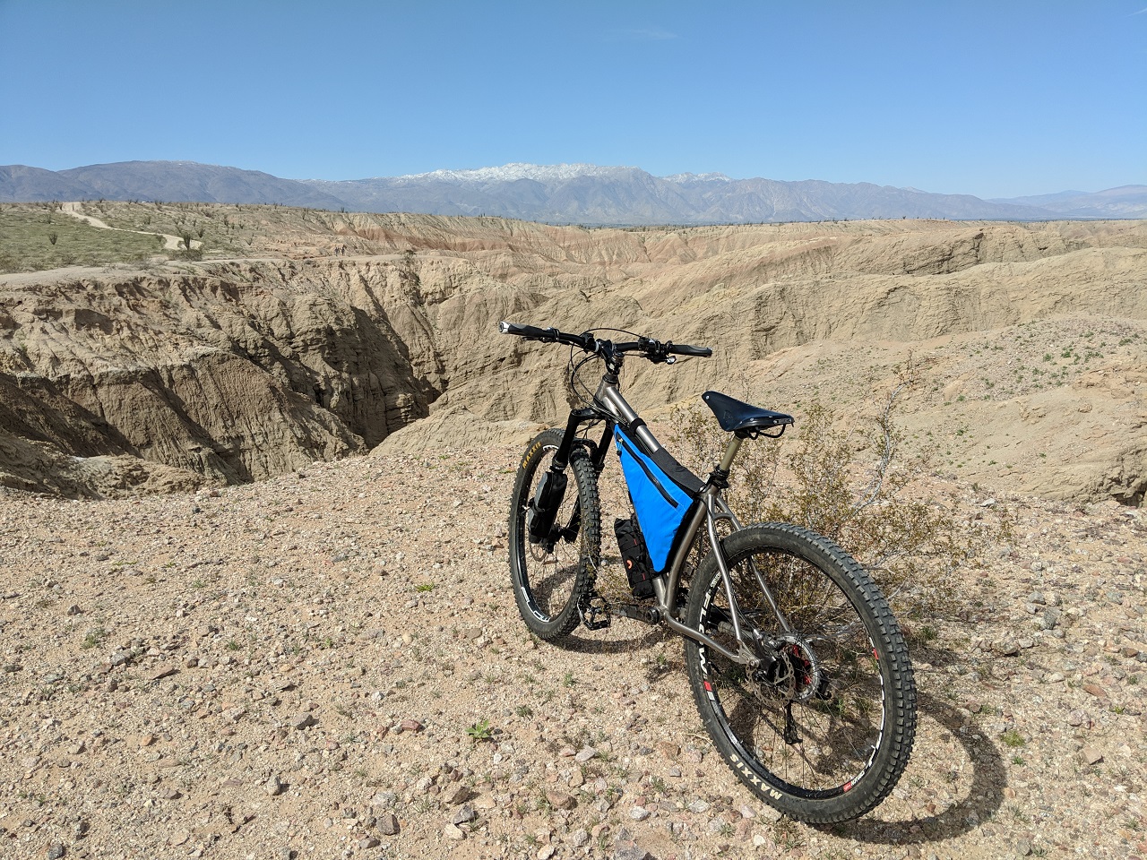
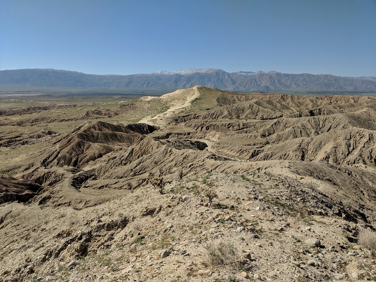
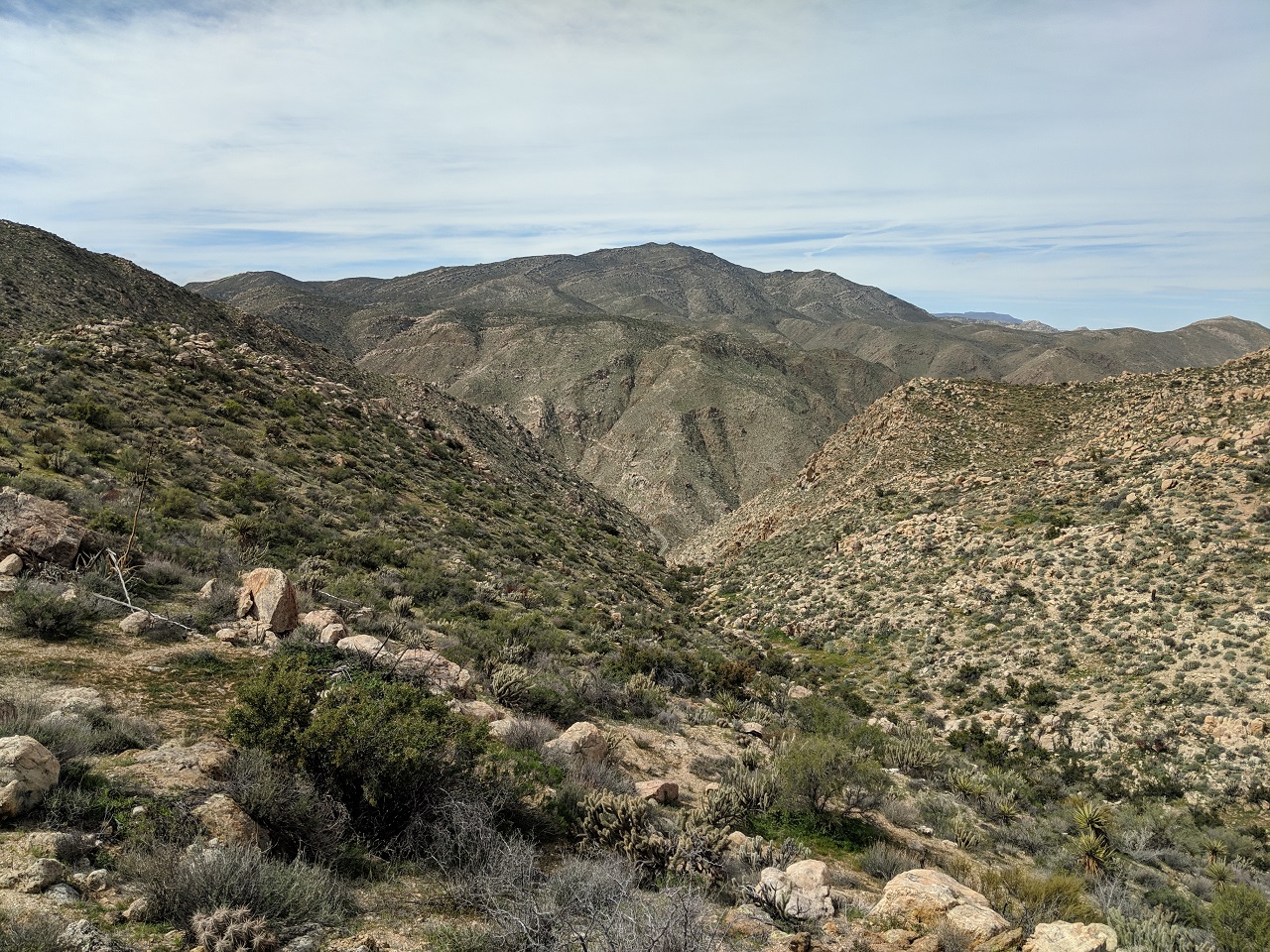
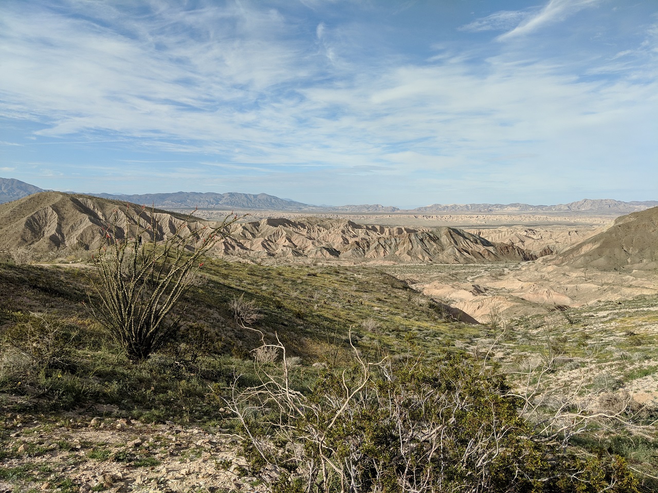
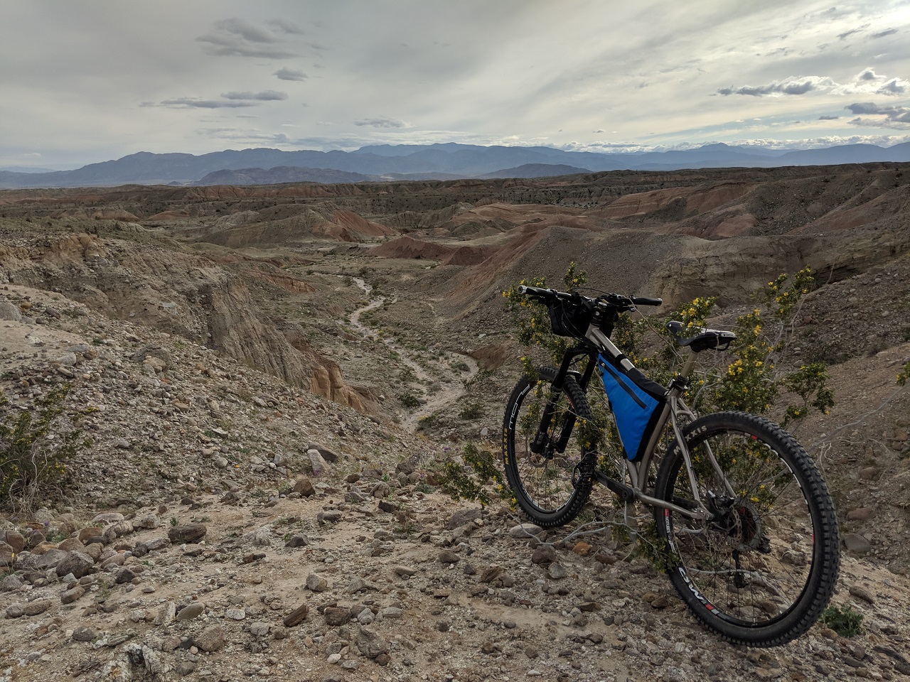
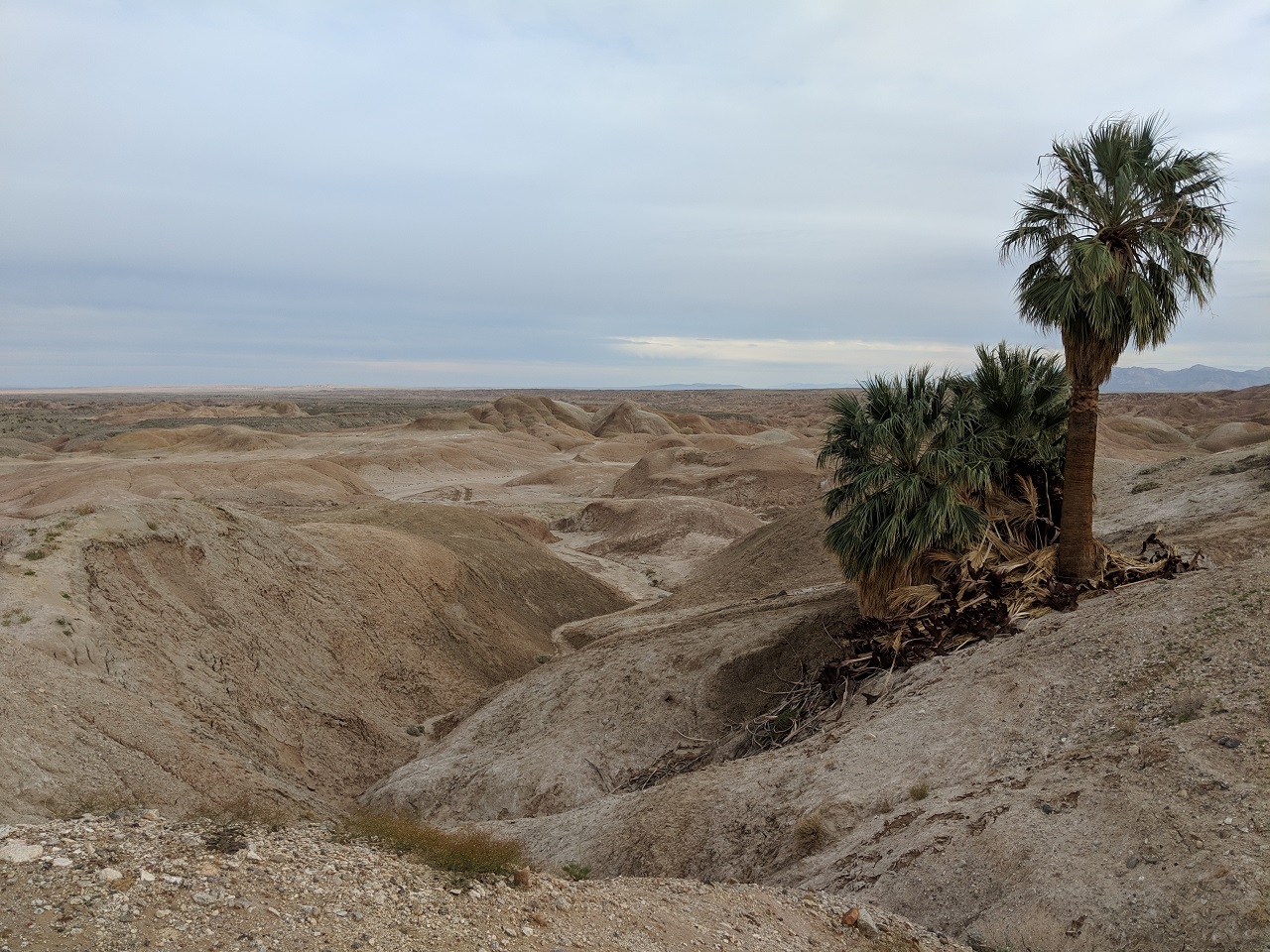
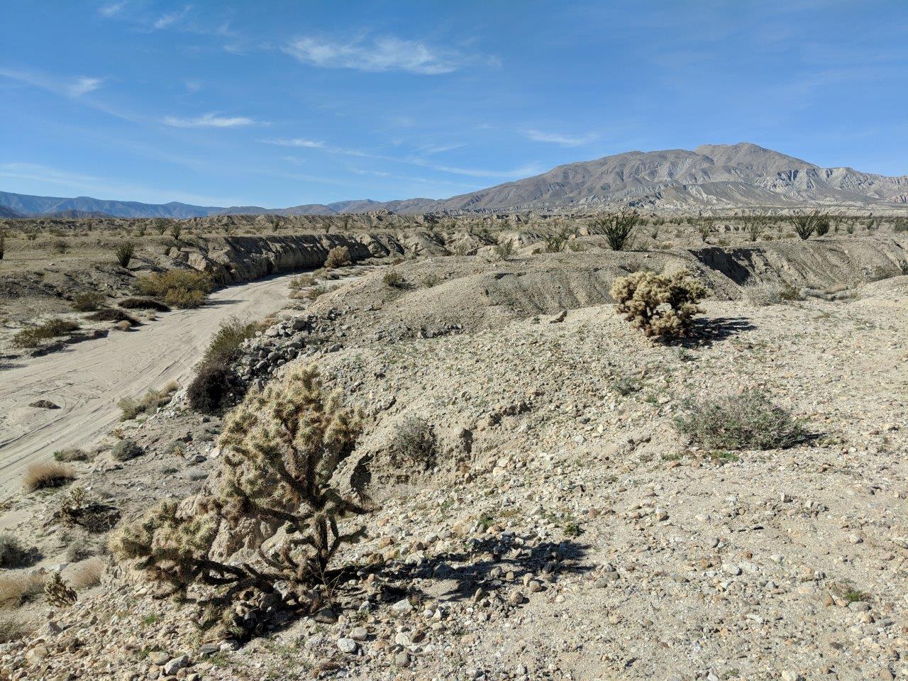
Looking north over Arroyo Tapadio toward the Vallecito Mtns 
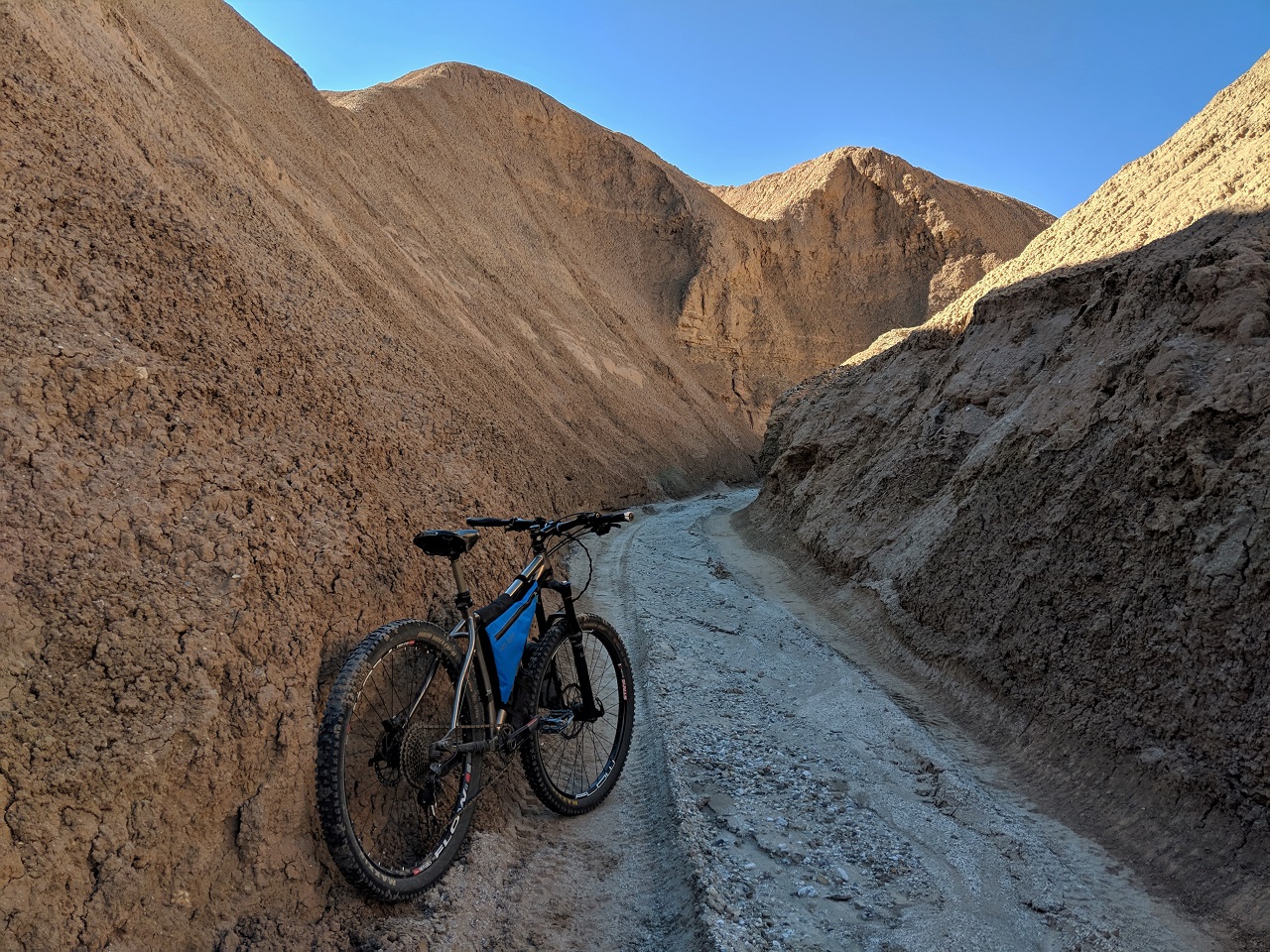
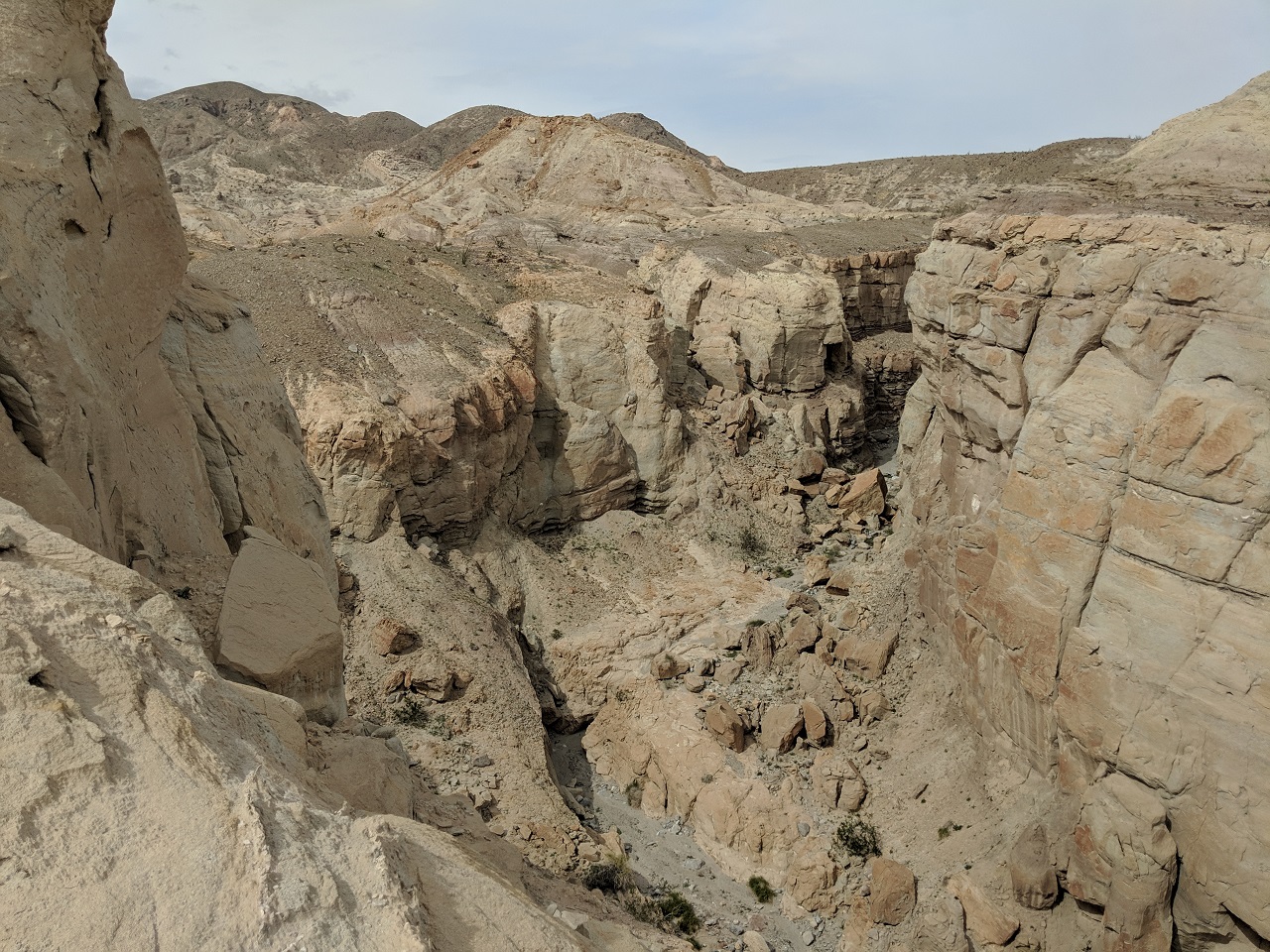
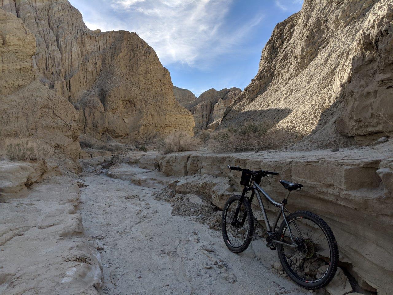
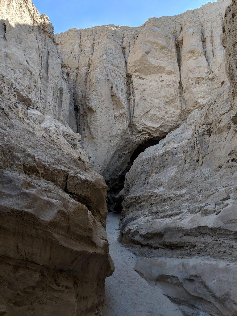
I dropped into Arroyo Tapadio and headed south. Didn't take long to come to the first side canyon. 
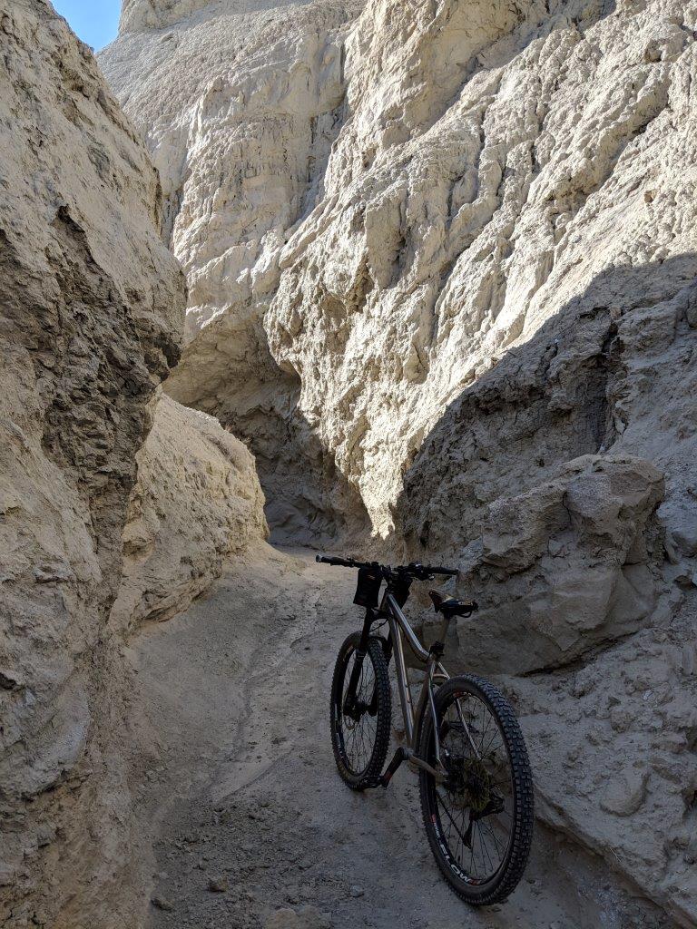
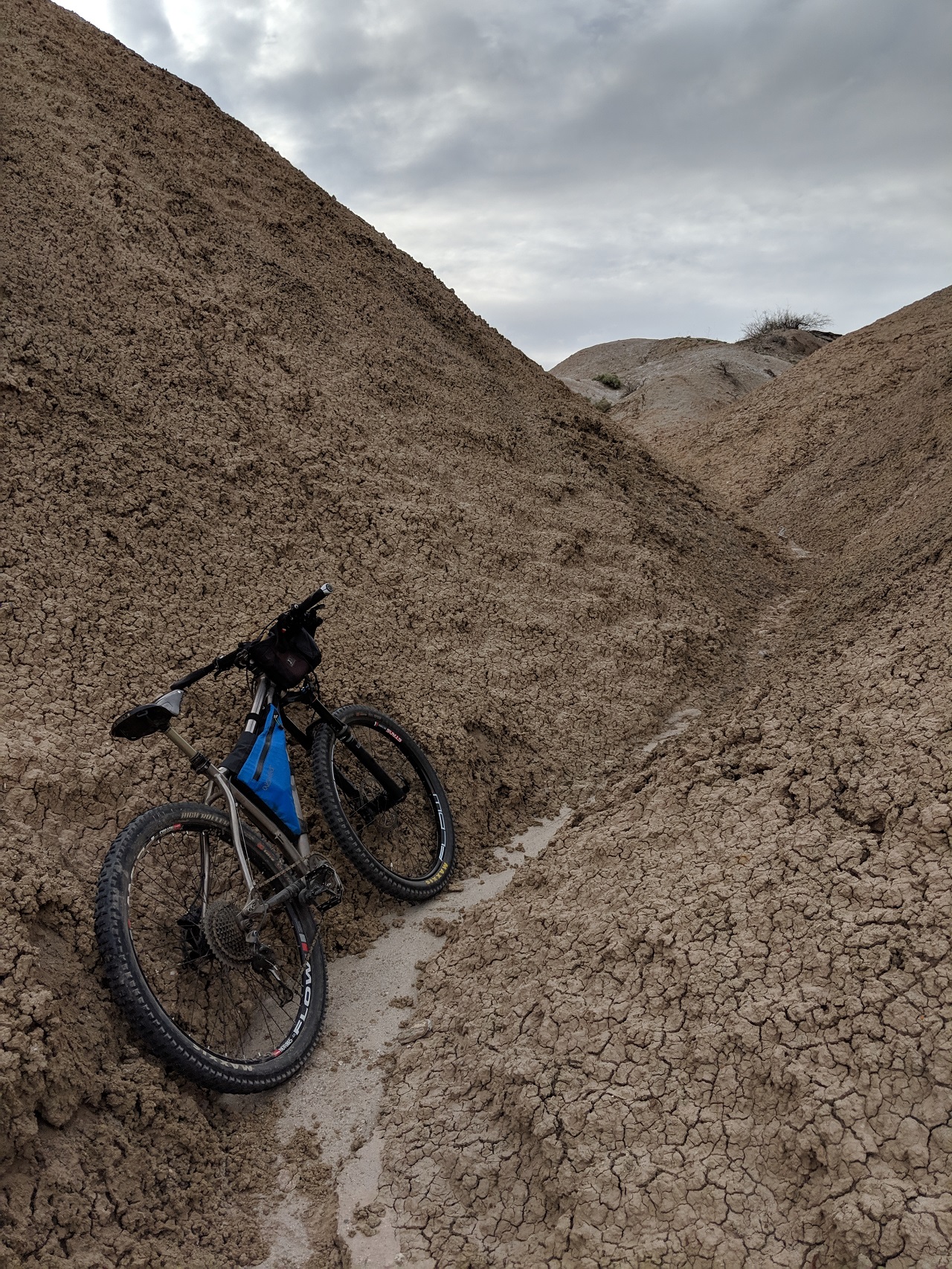
This one wasn't very long but I rode the bike up til I hit a blockage and then continued on foot Time to get off 
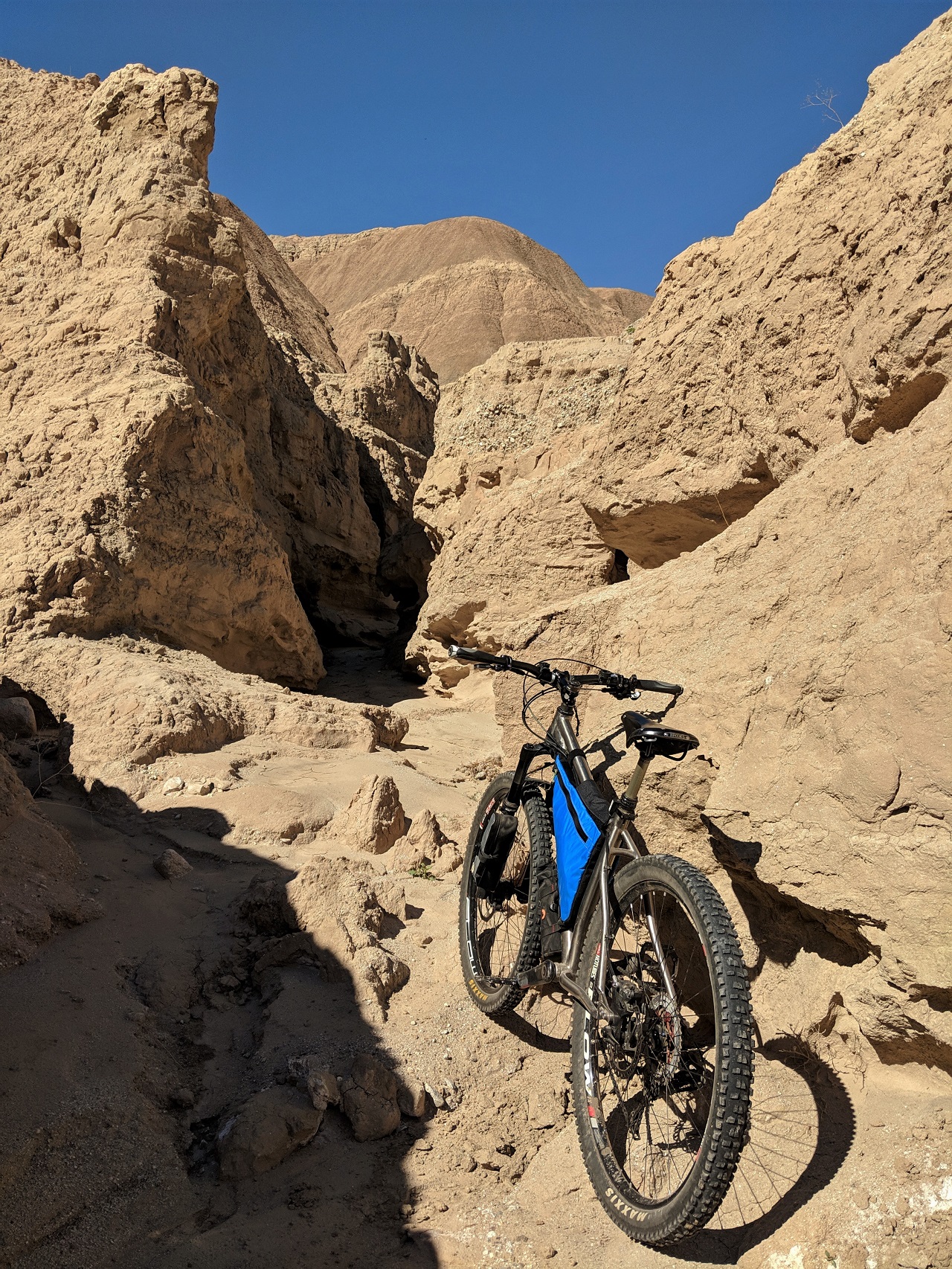
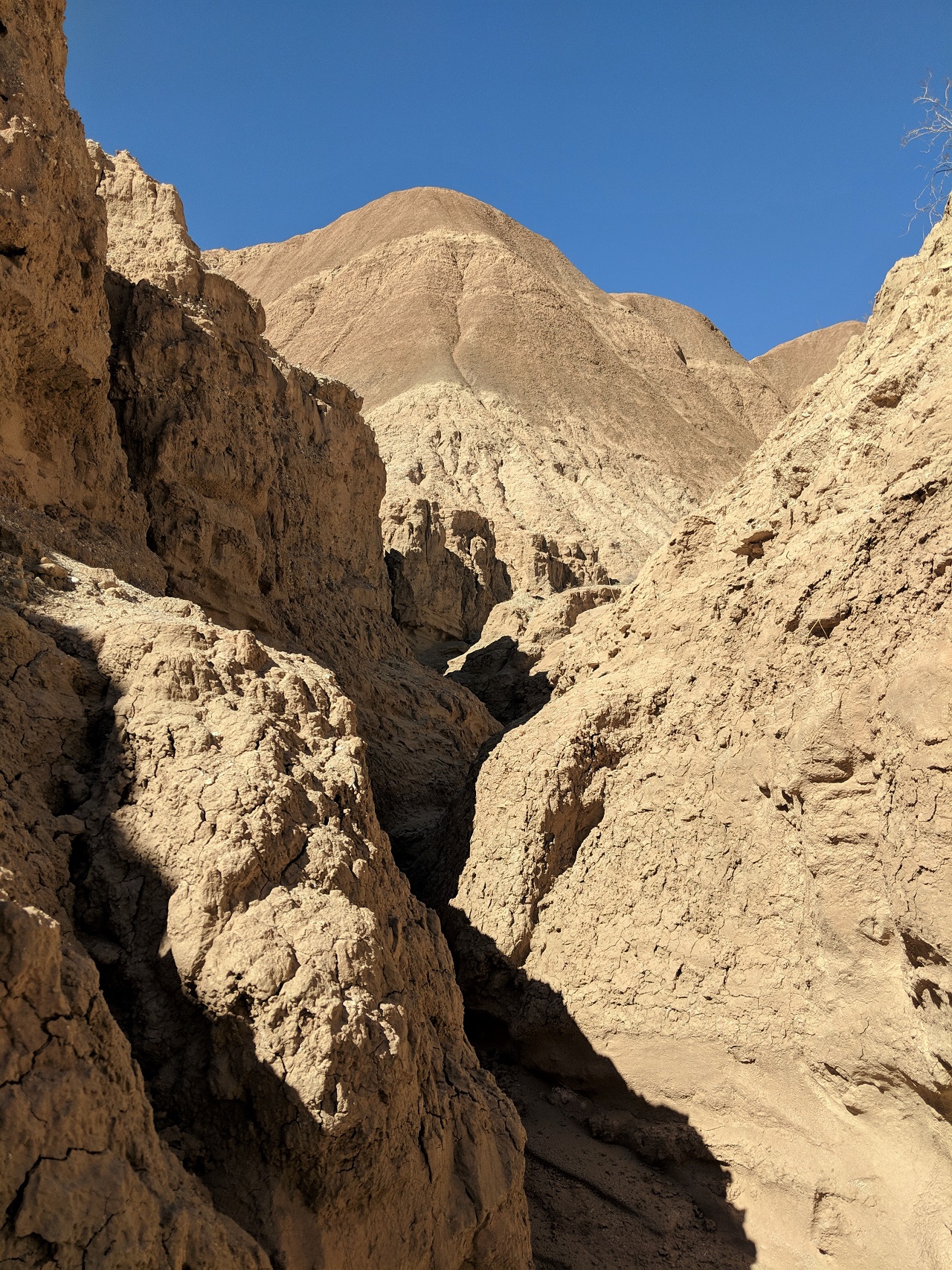
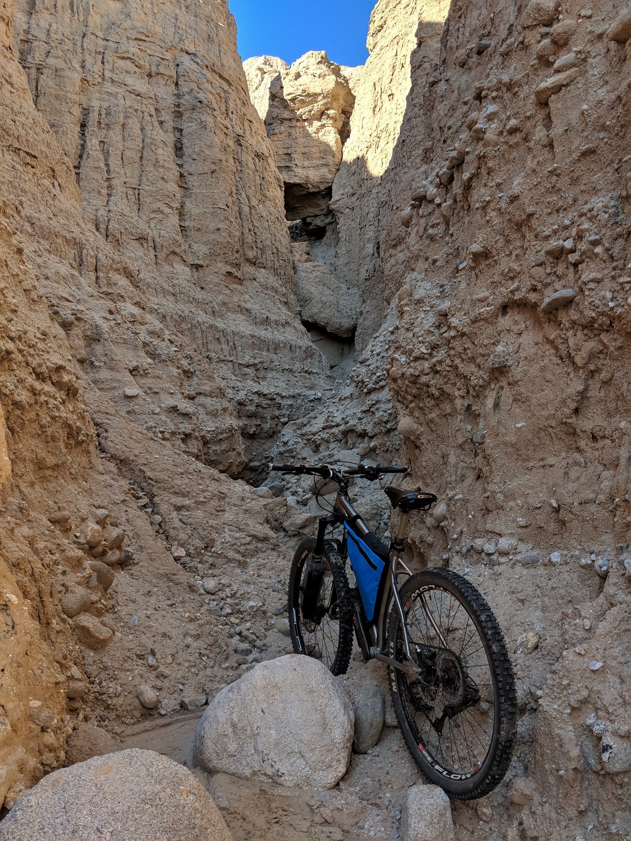
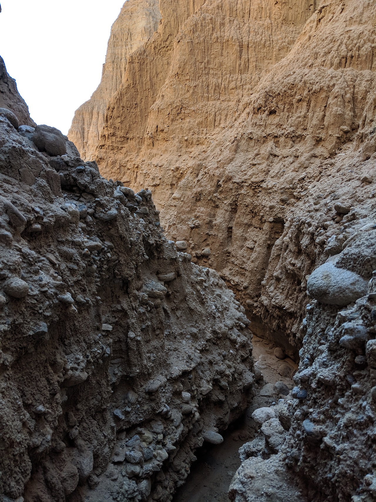
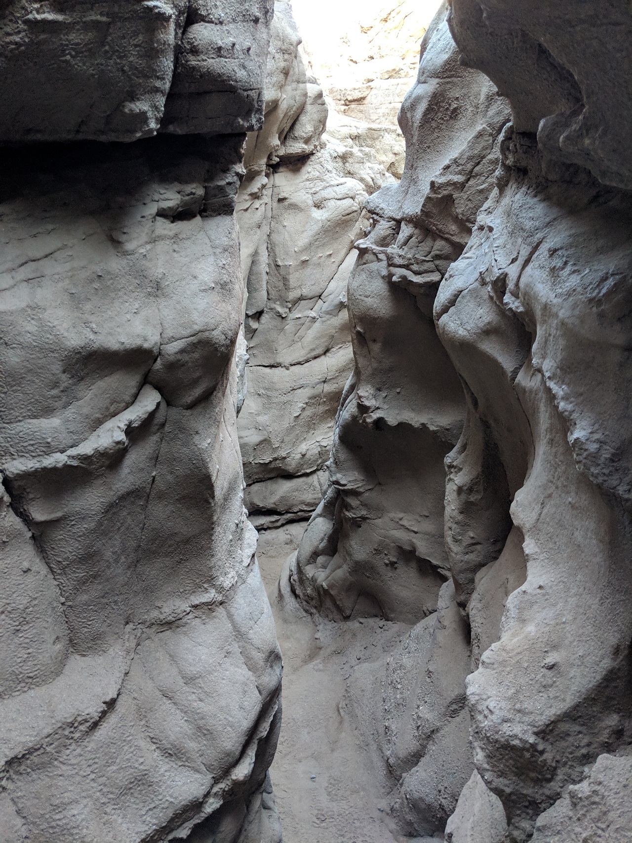
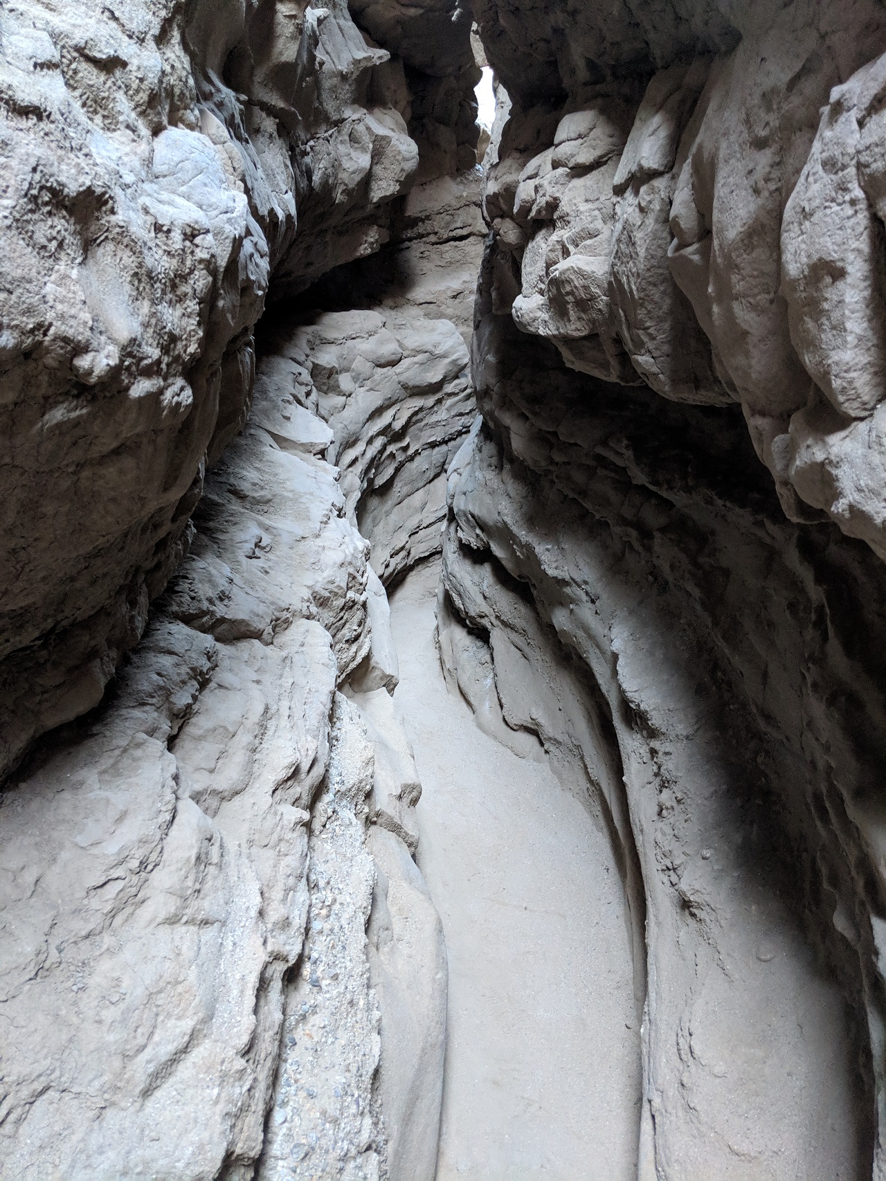
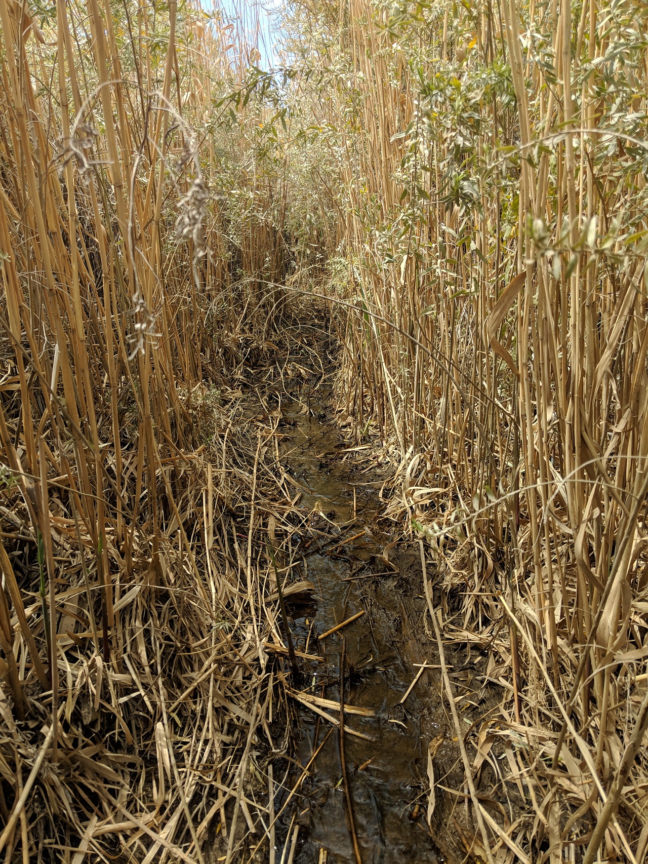
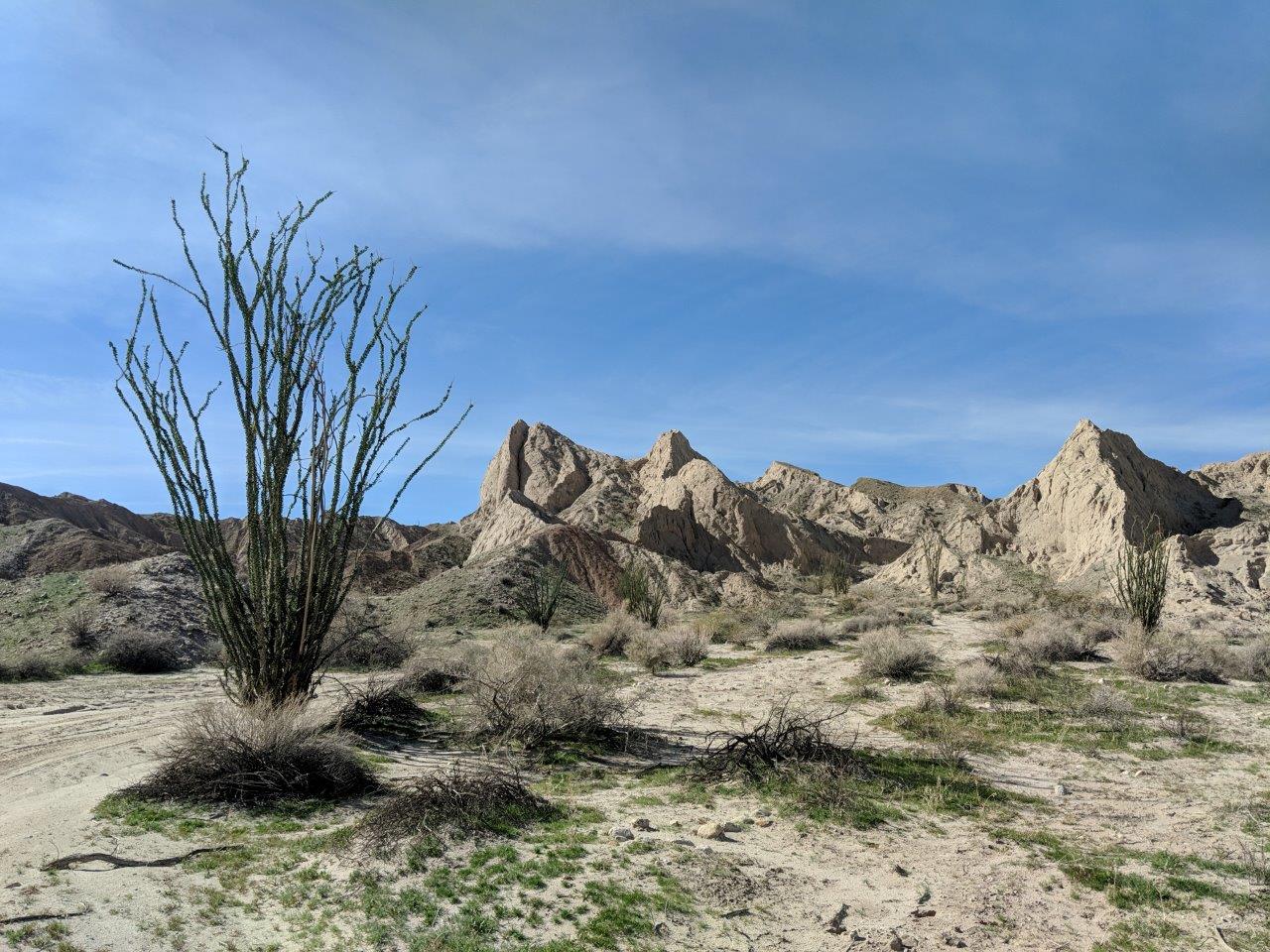
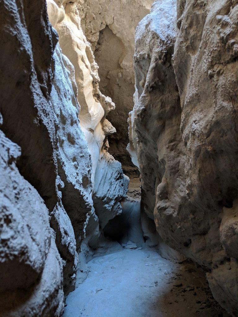
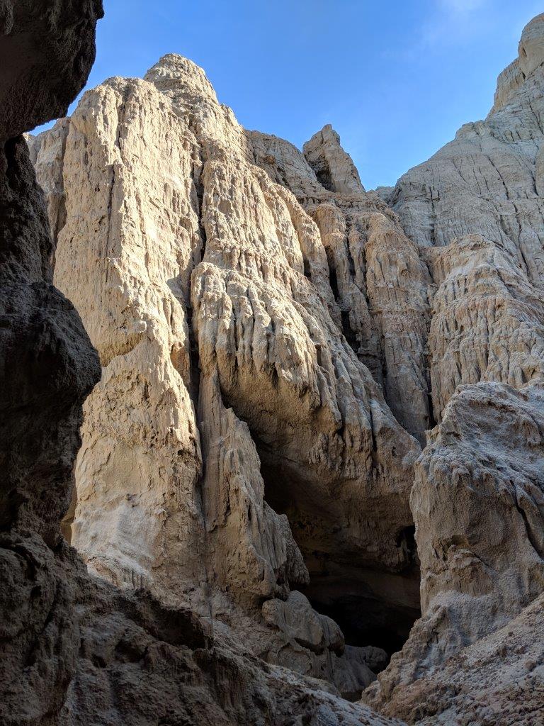
Lots of small blockages to climb over or under, but very cool. 
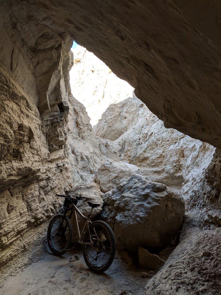
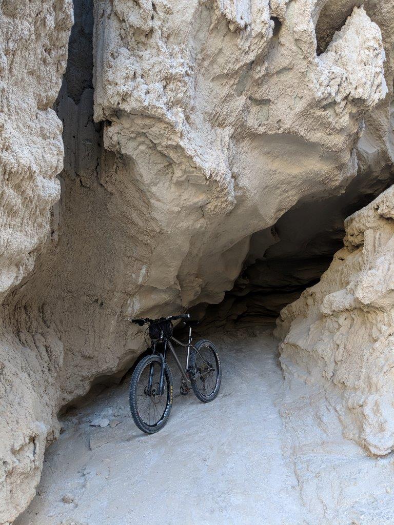
It kept getting narrower and narrower til it eventually got to a spot where I'd have to climb up 5-6 feet and squeeze around a tight corner to continue. So I retraced steps and continued on. 
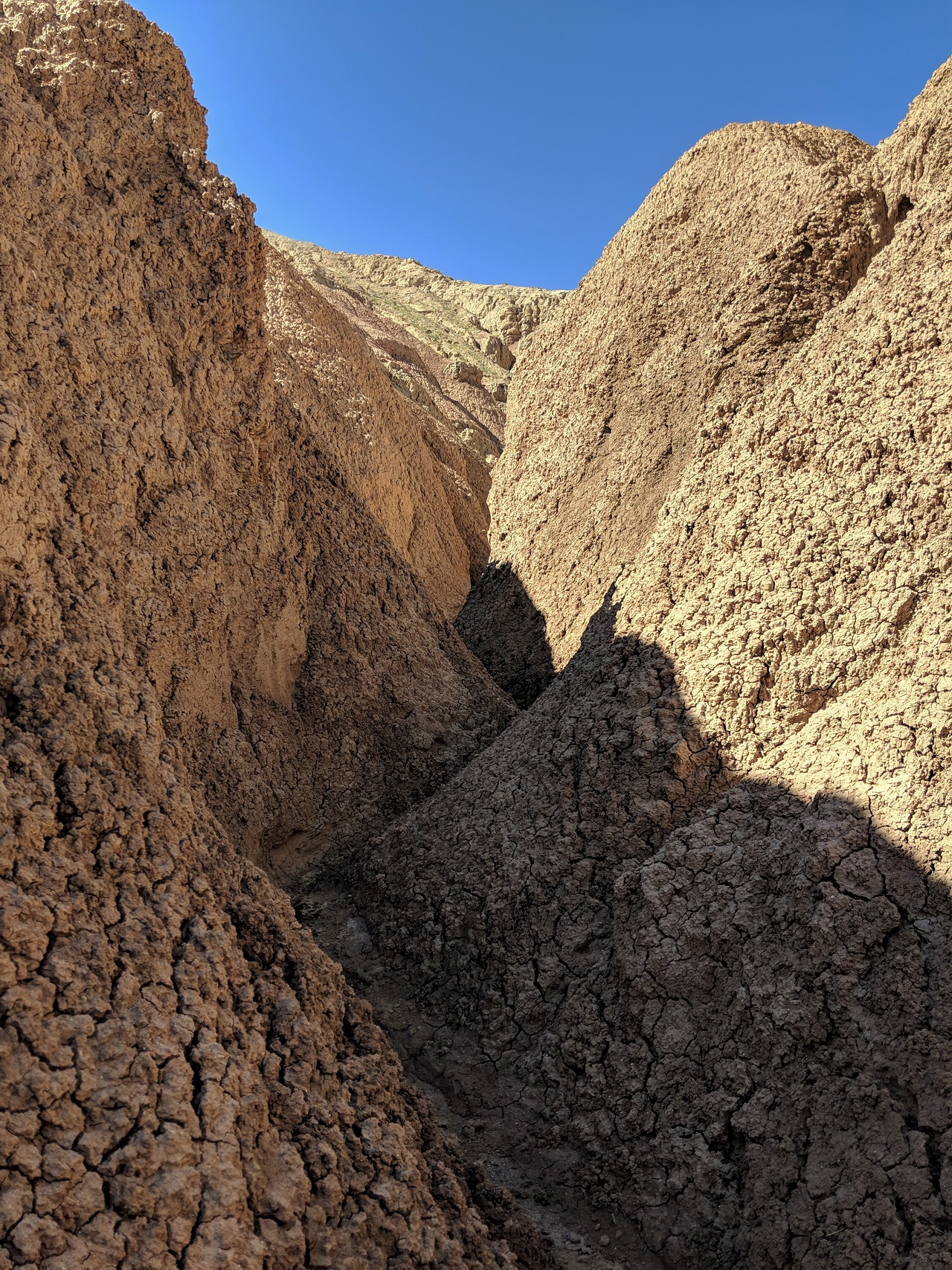
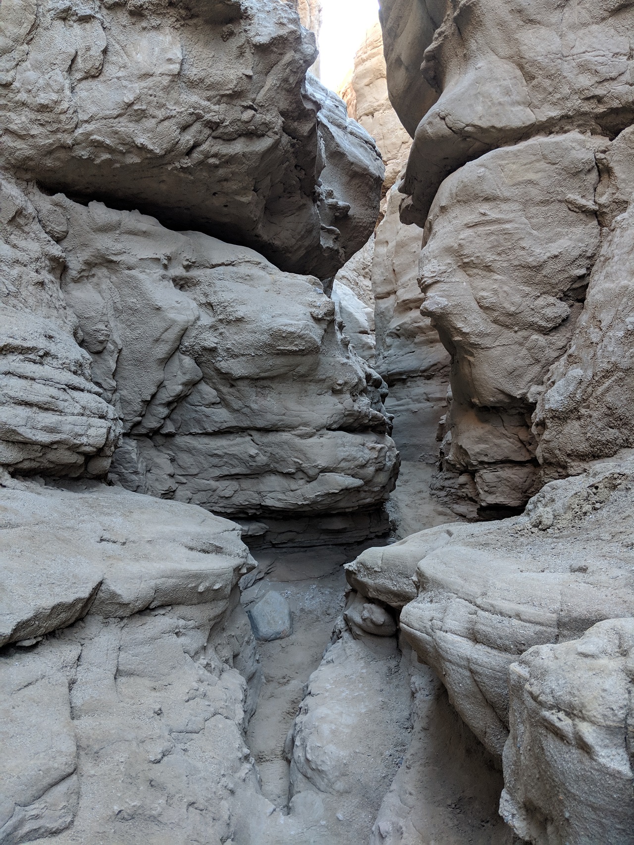
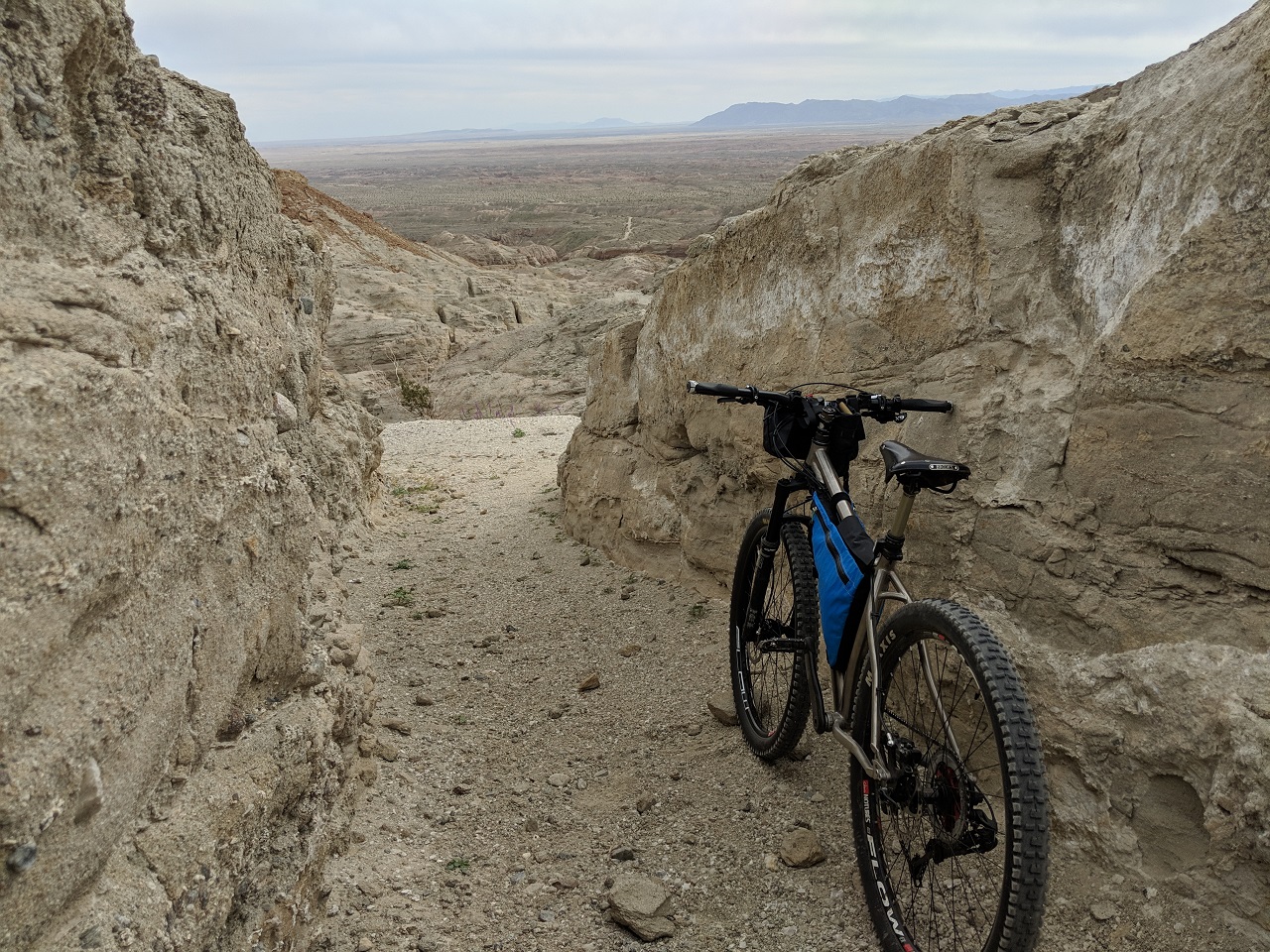
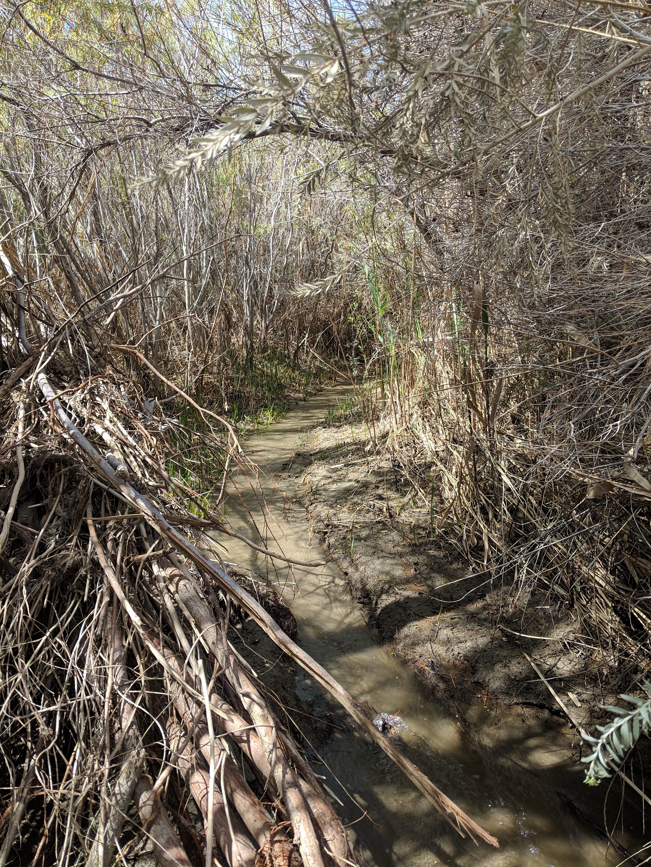
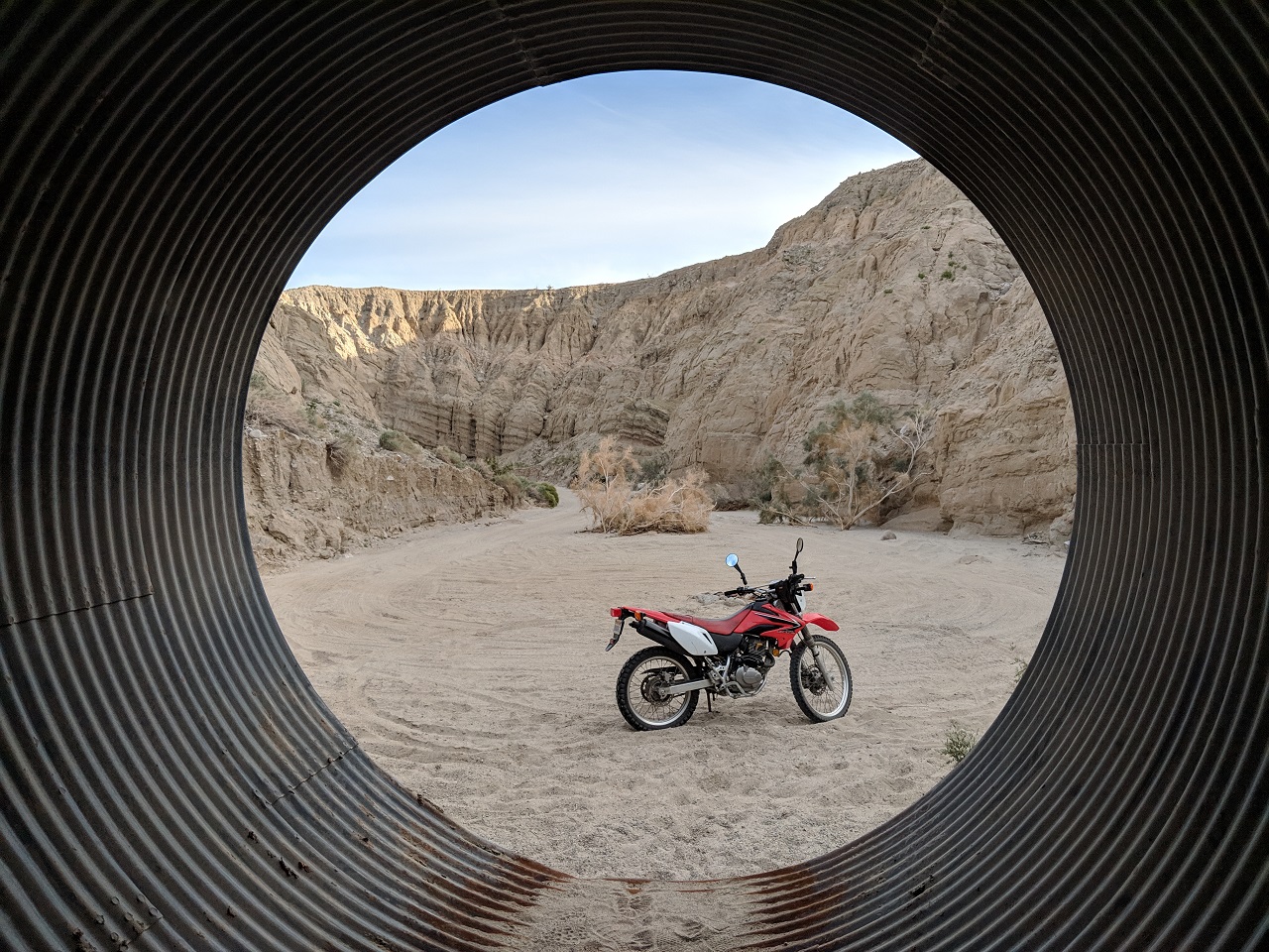
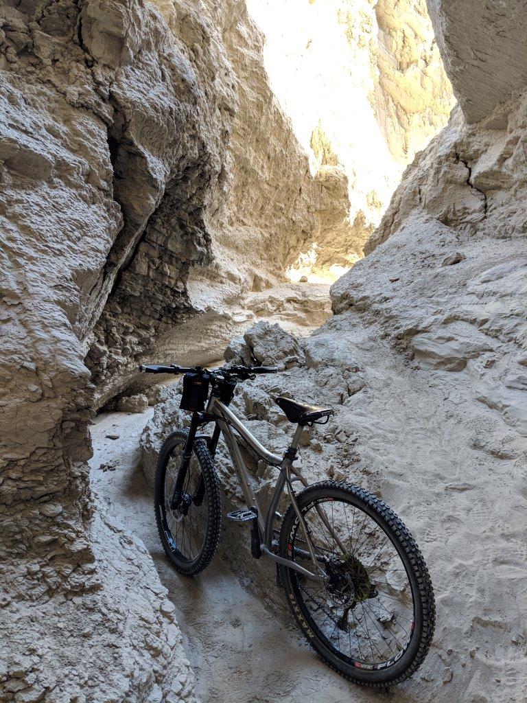
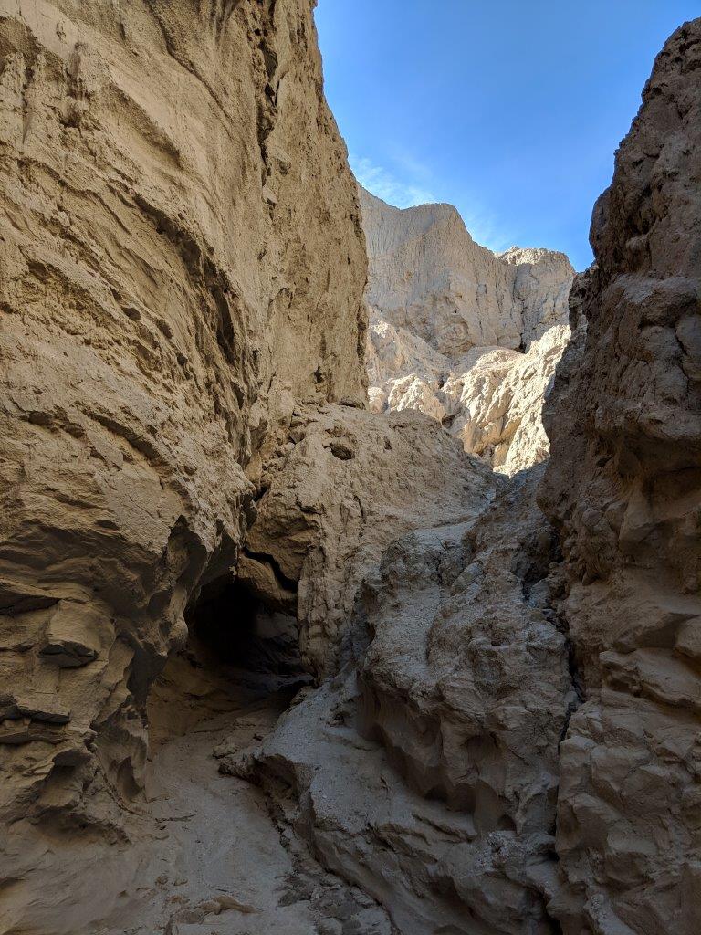
The next side canyon started off wider and was much longer, close to 2/3 mi where I turned around 
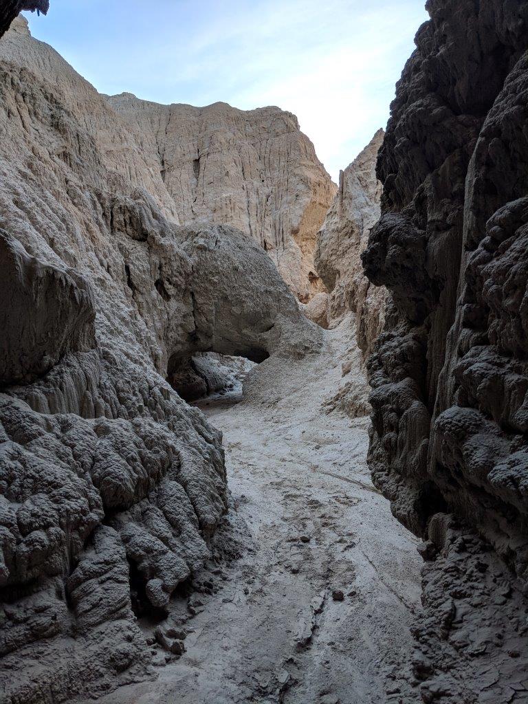
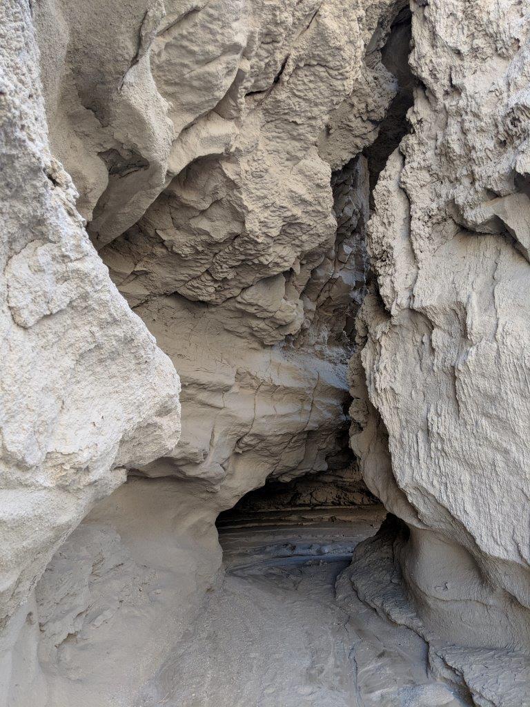
This one was never as narrow as the first but still very cool. This was where I had ditched the bike, the wash continued up the narrow cave and around a sharp corner. 
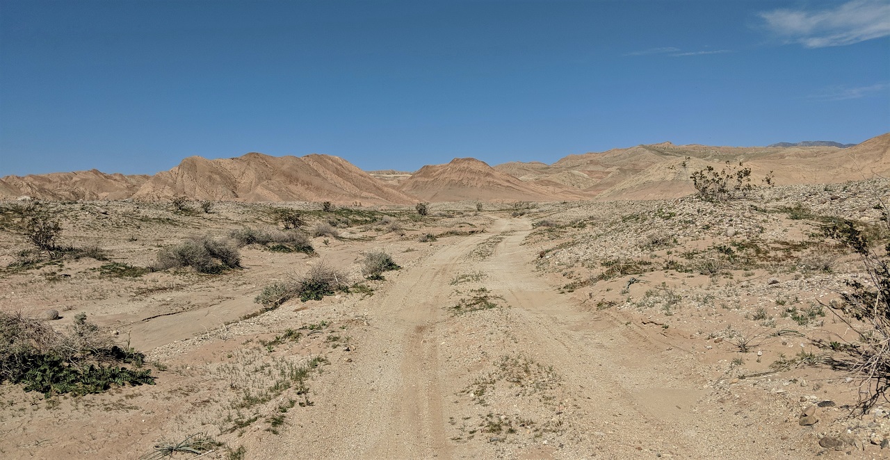
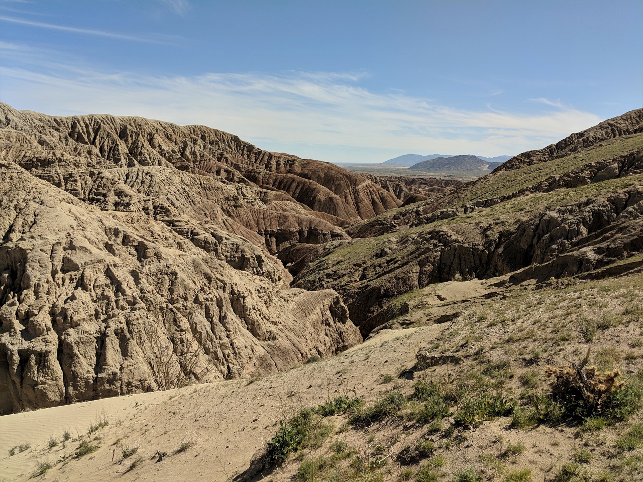
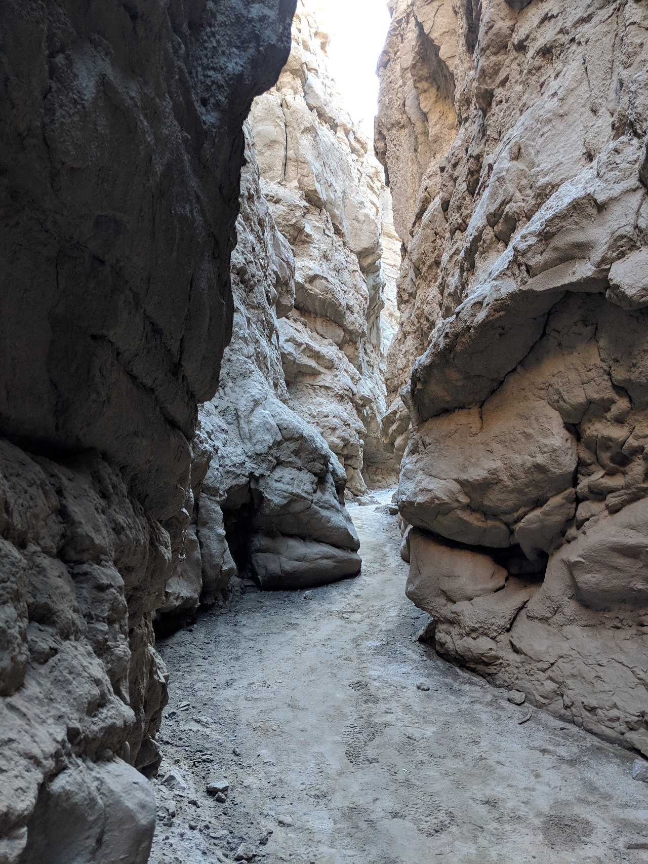
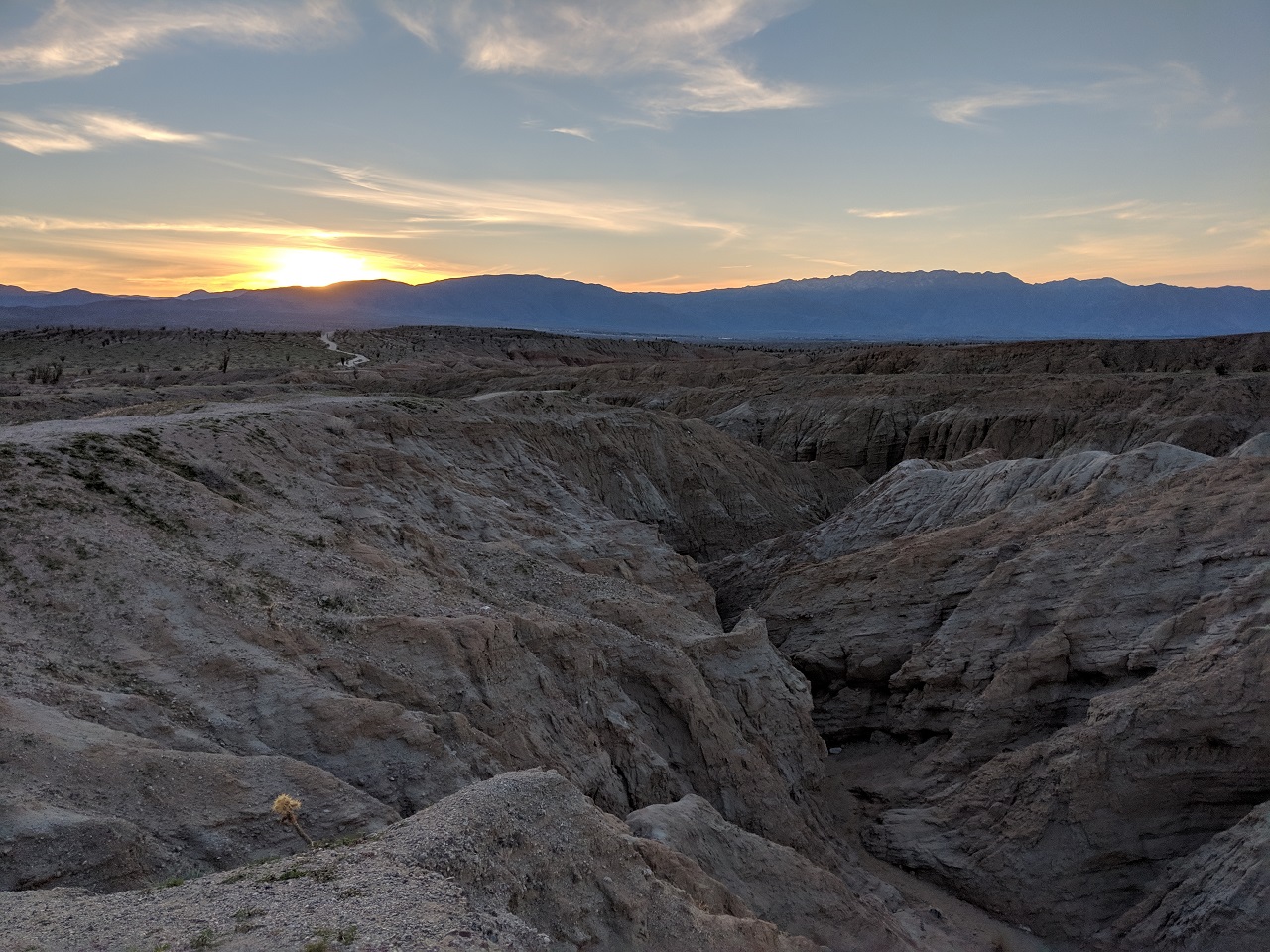
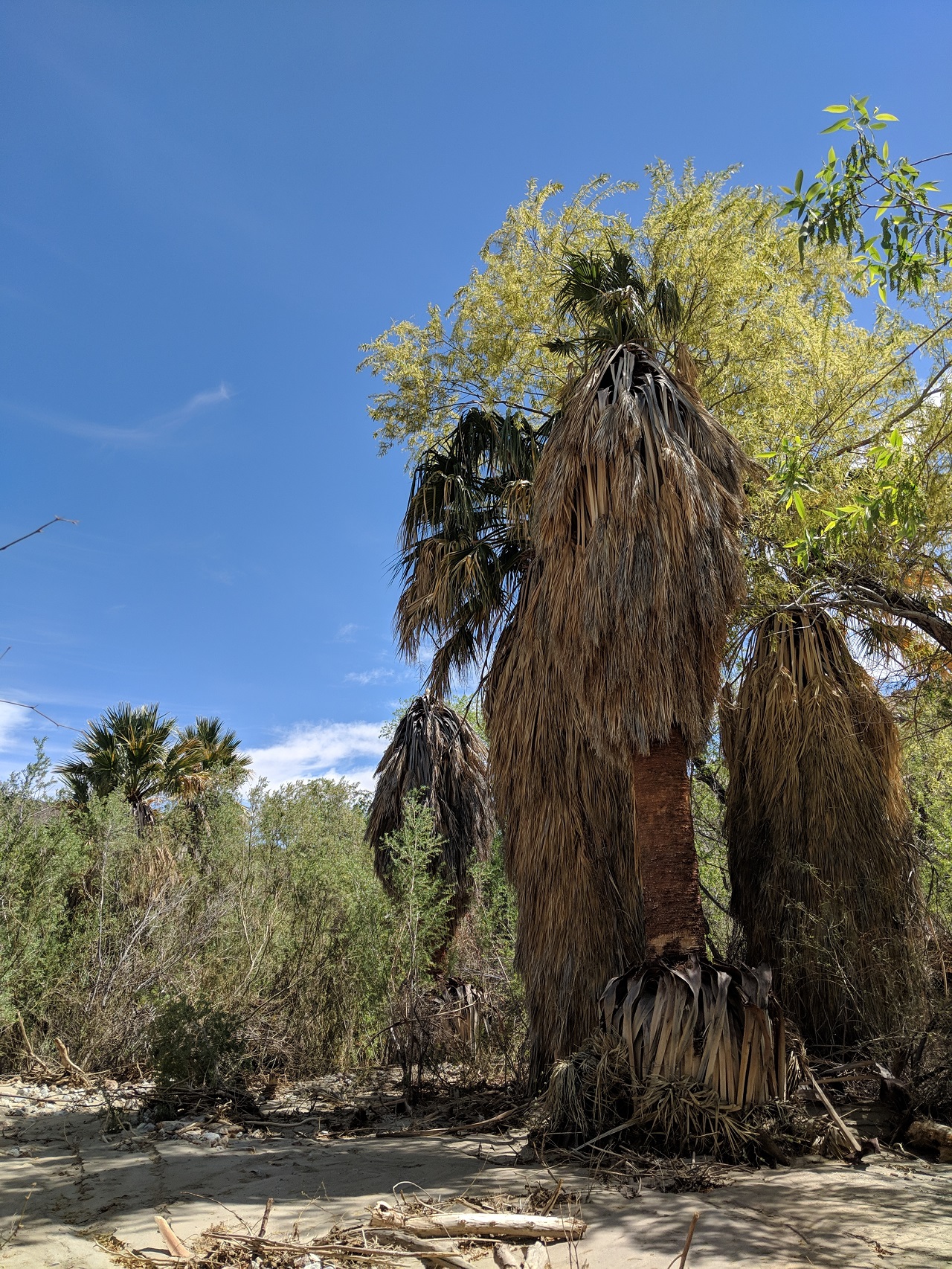
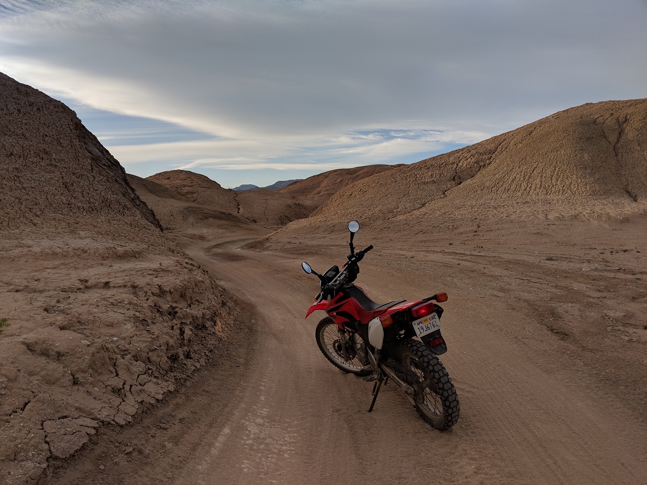
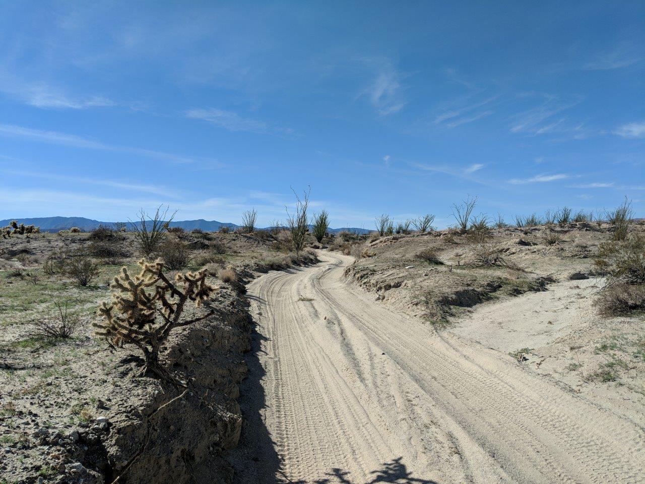
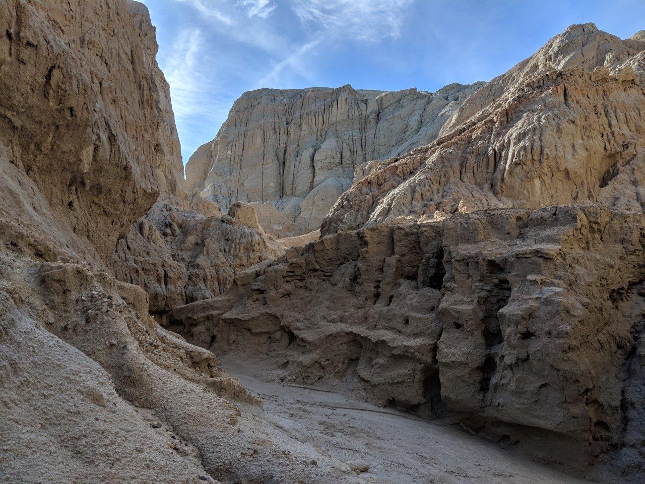
The Arroyo eventually dumped me back out into a flat wash area a couple miles from the bottom of Seco del Diablo 
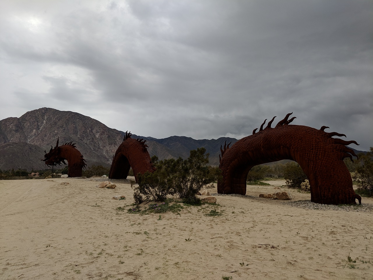
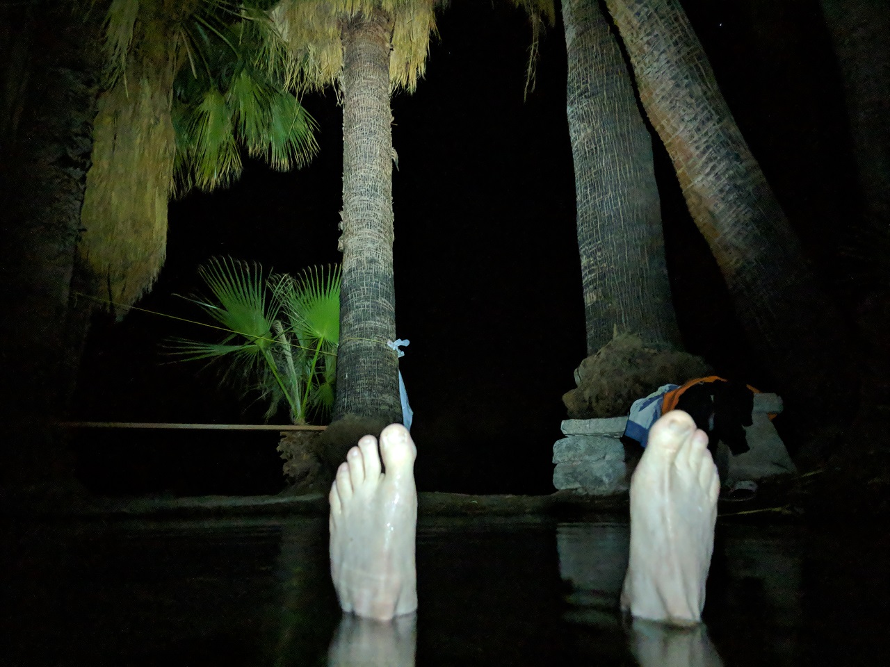
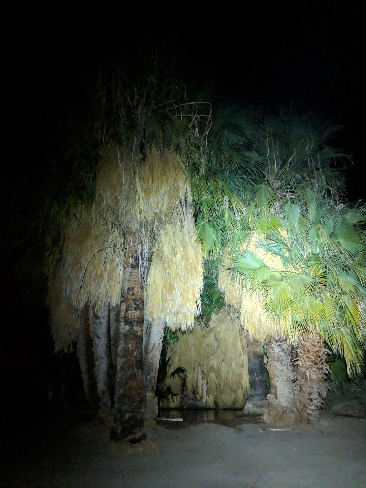
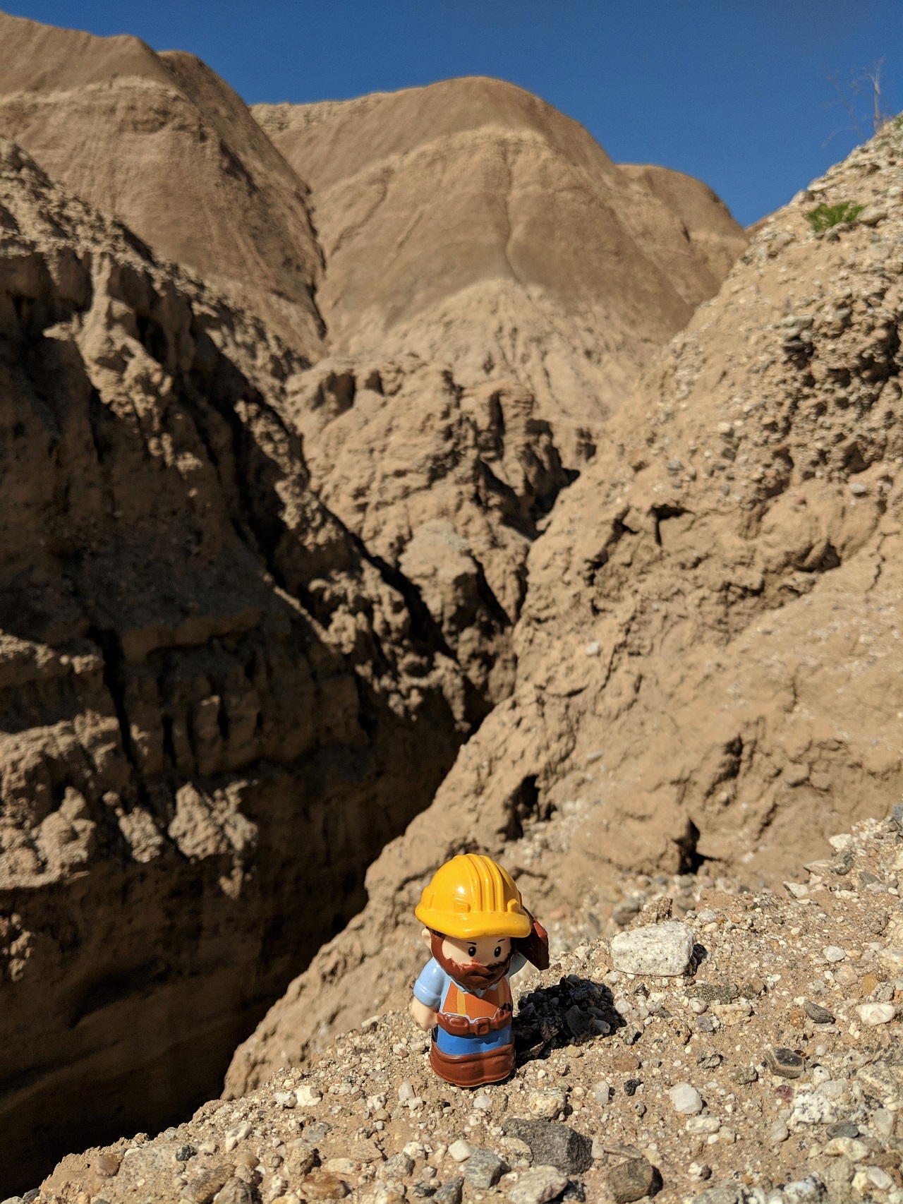
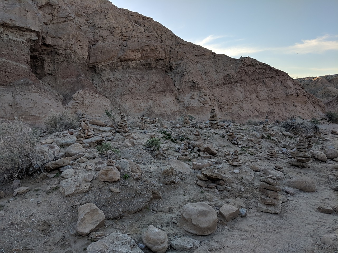
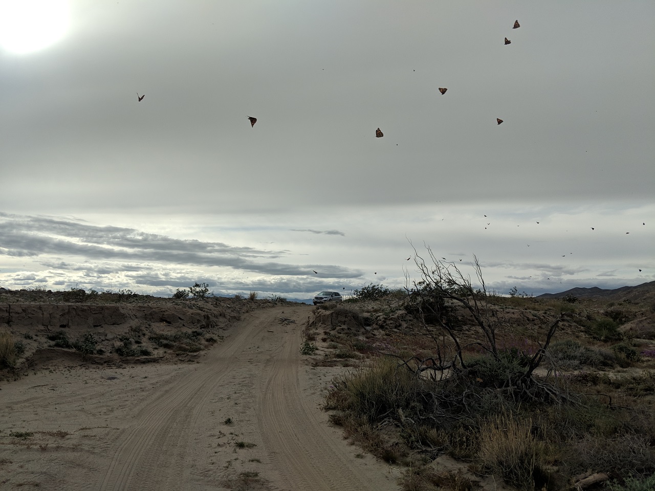
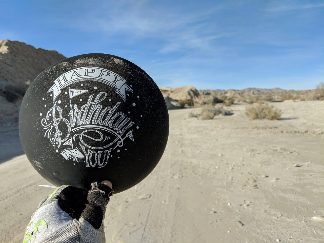
Happy birthday to someone.... 
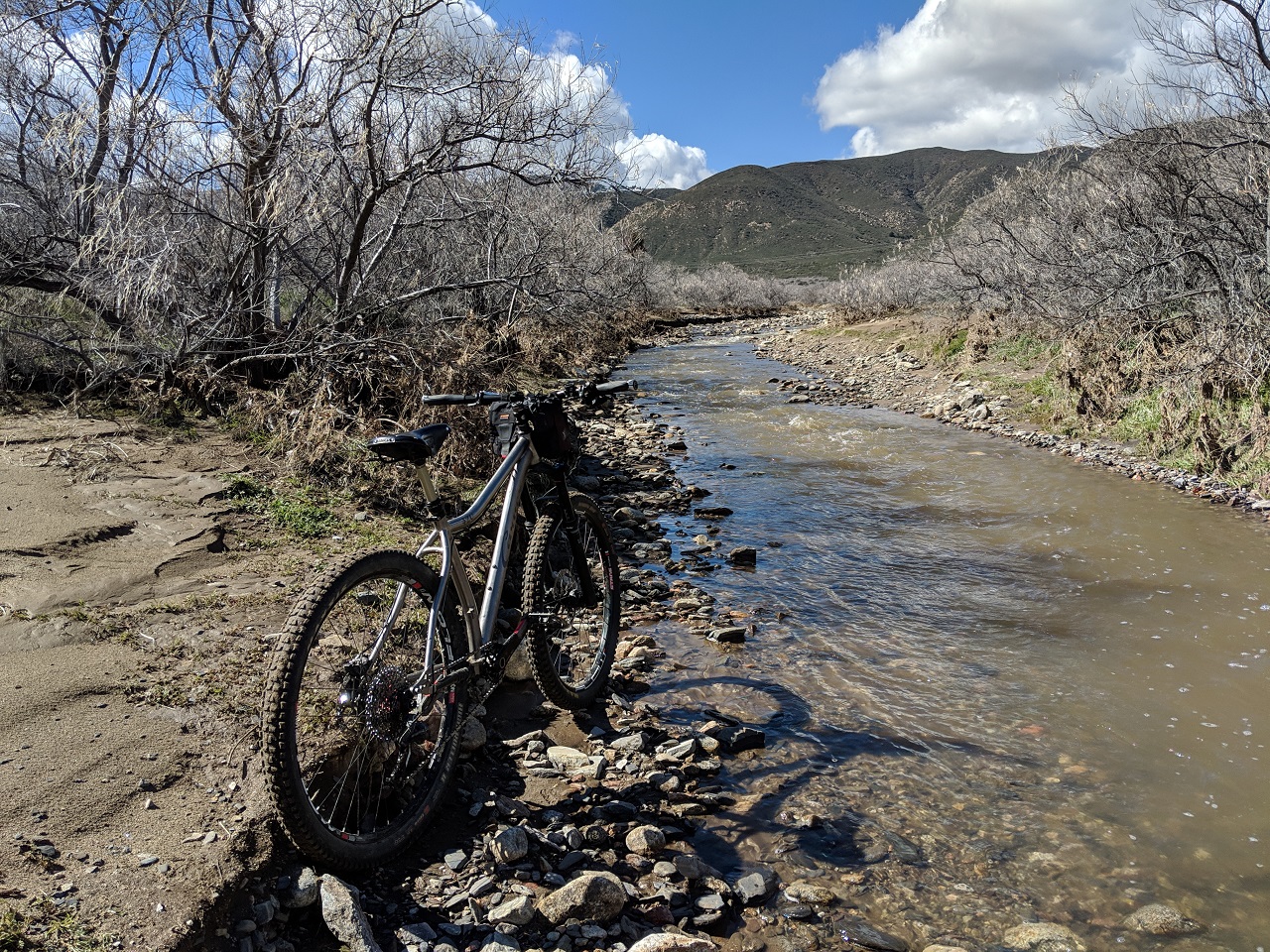
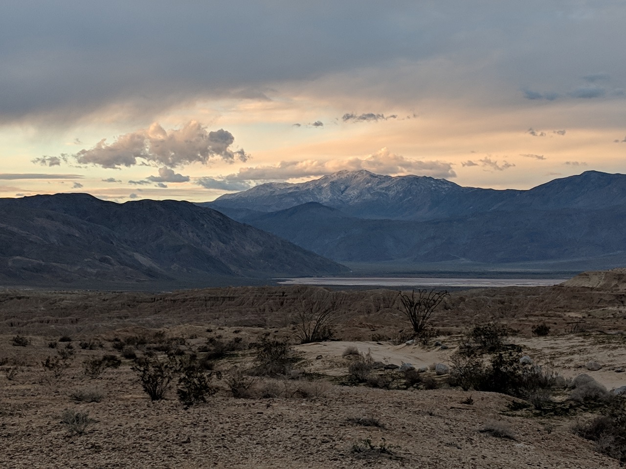
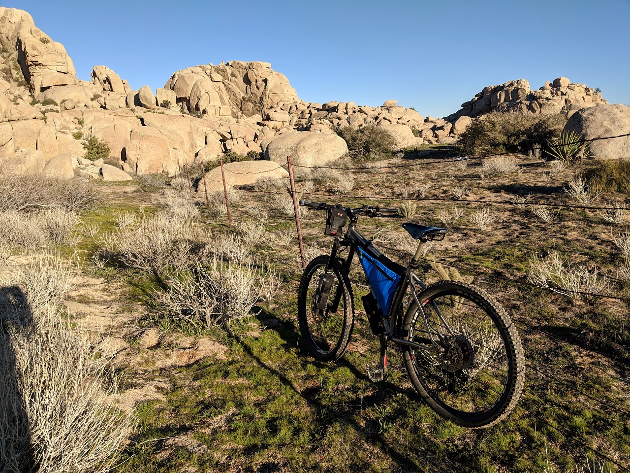
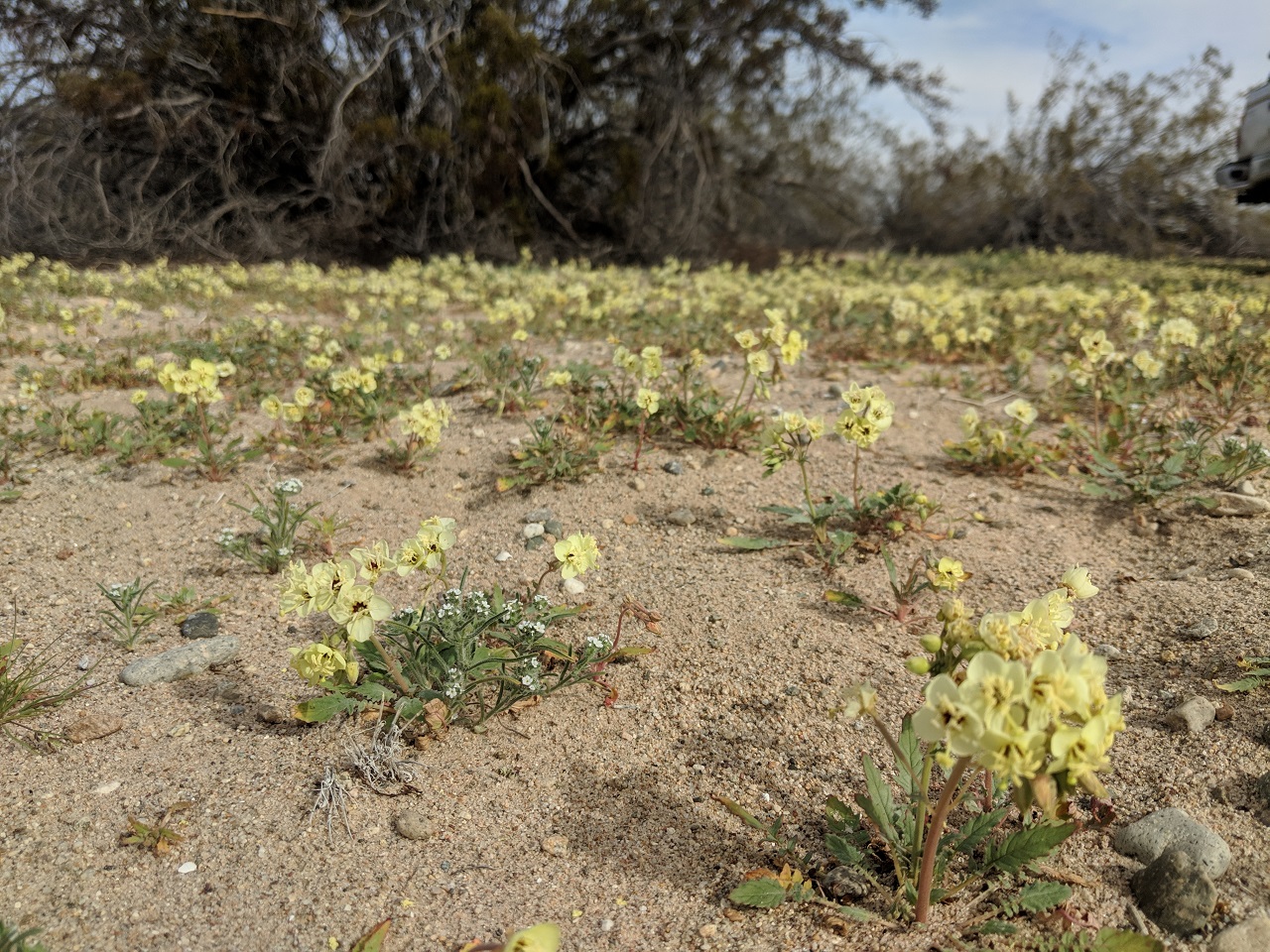
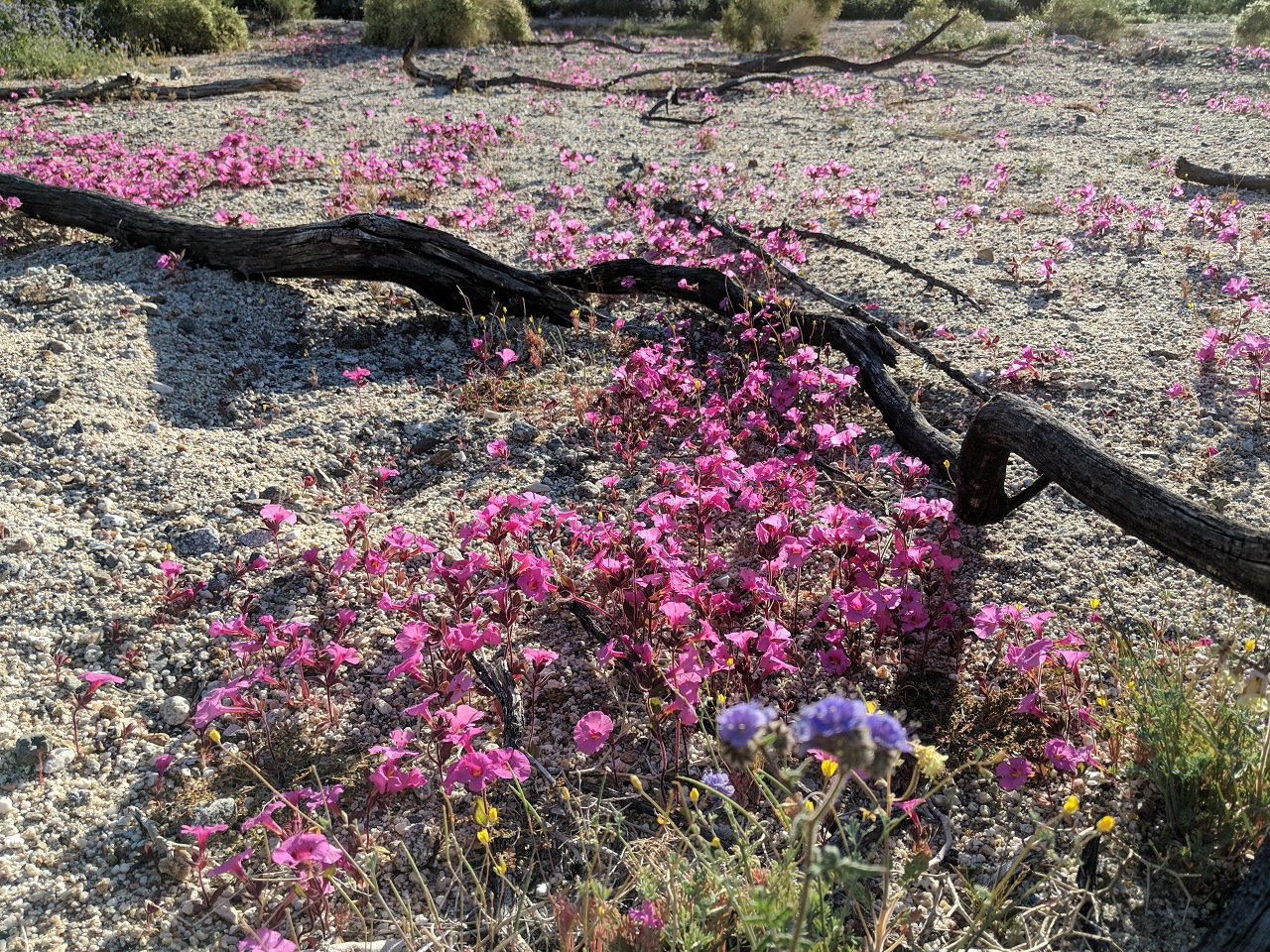
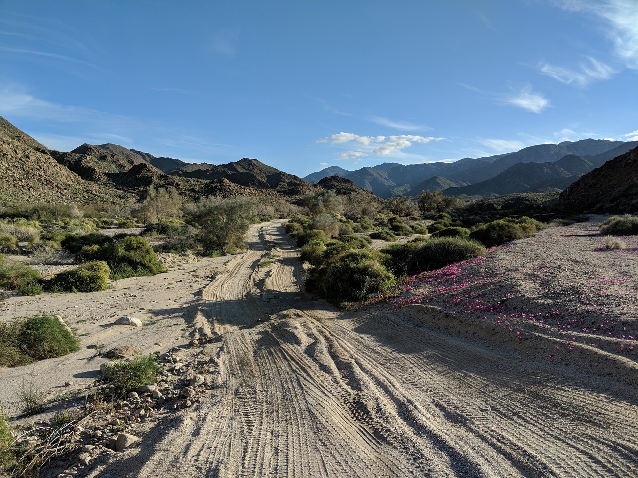
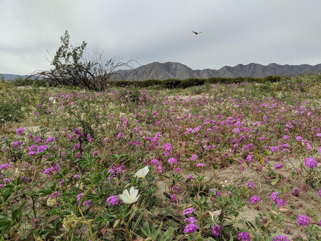
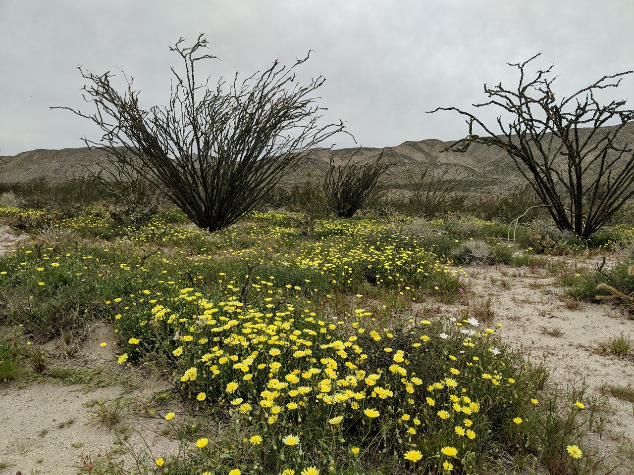
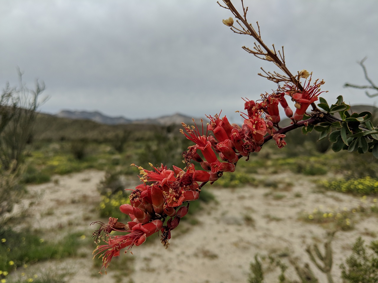
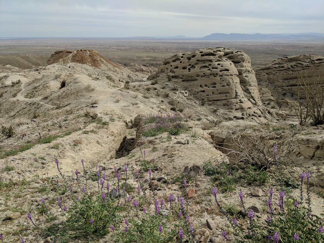
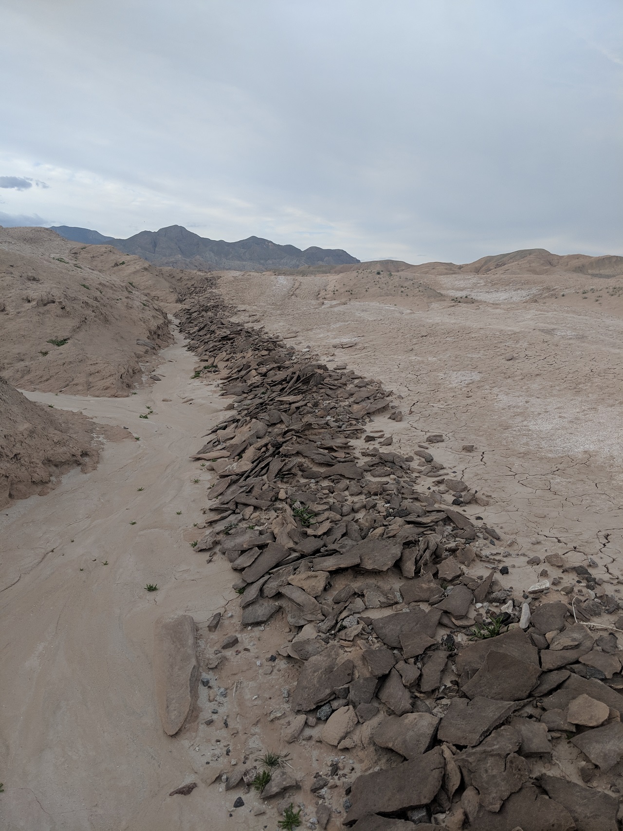
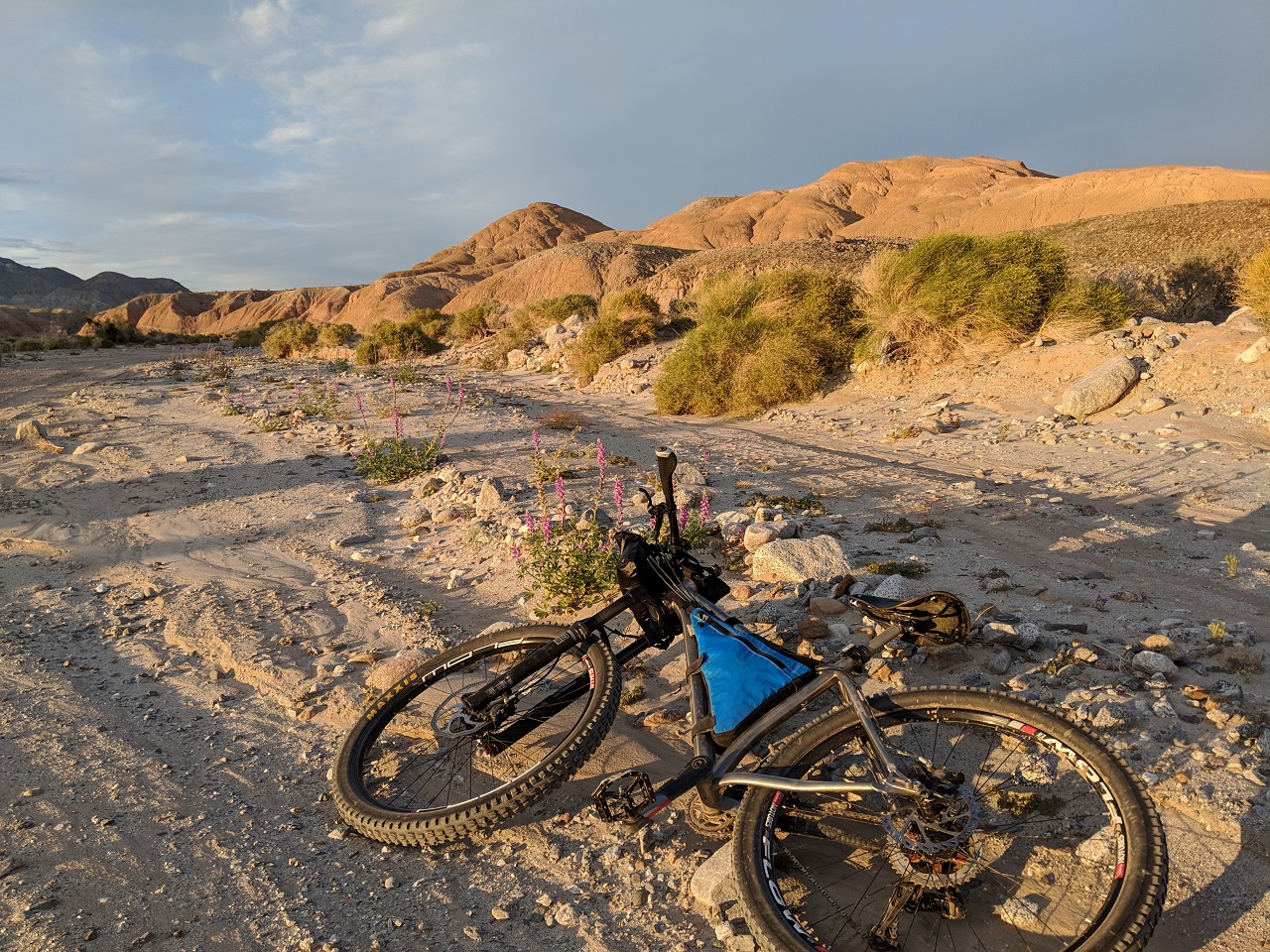
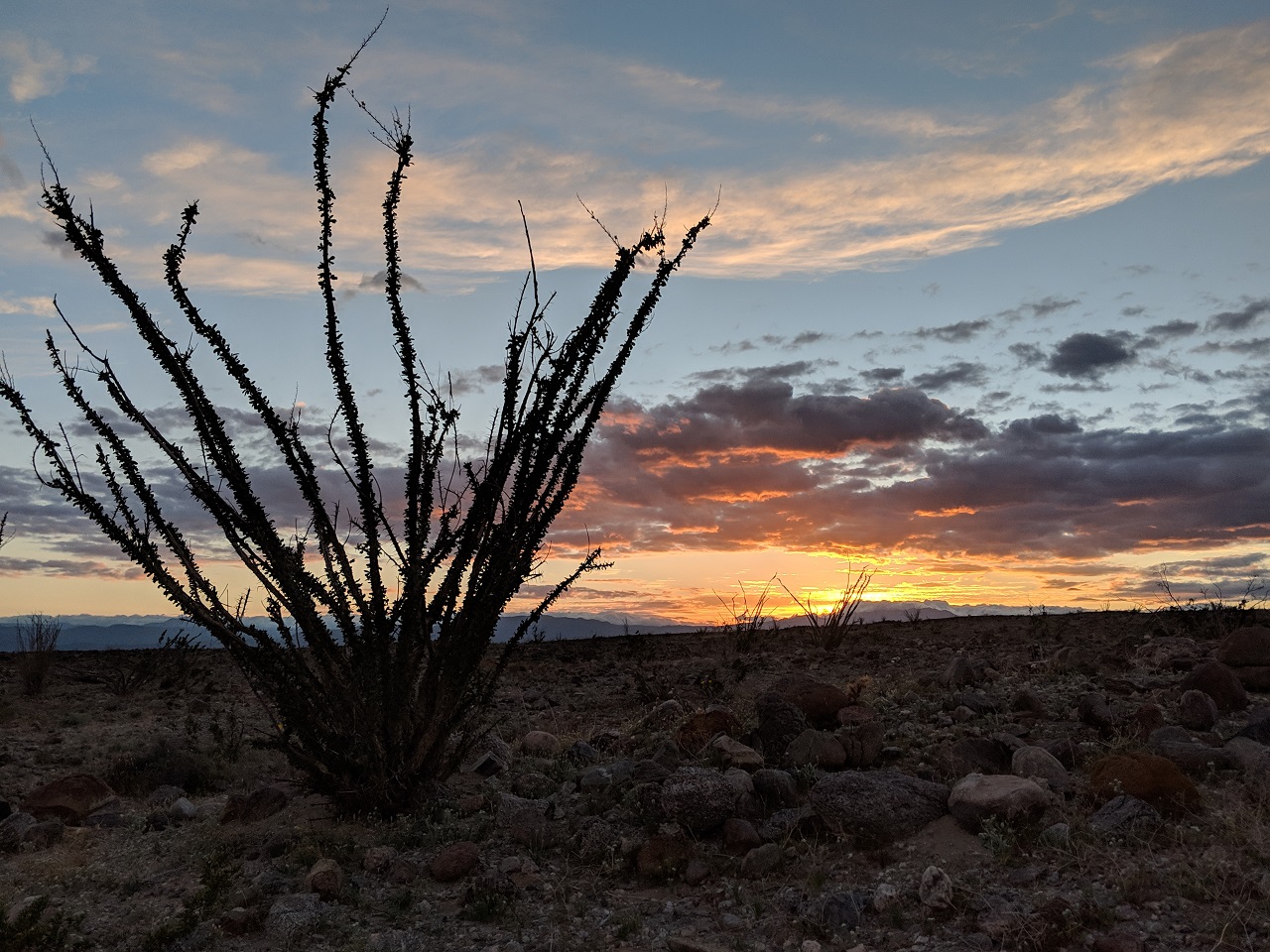
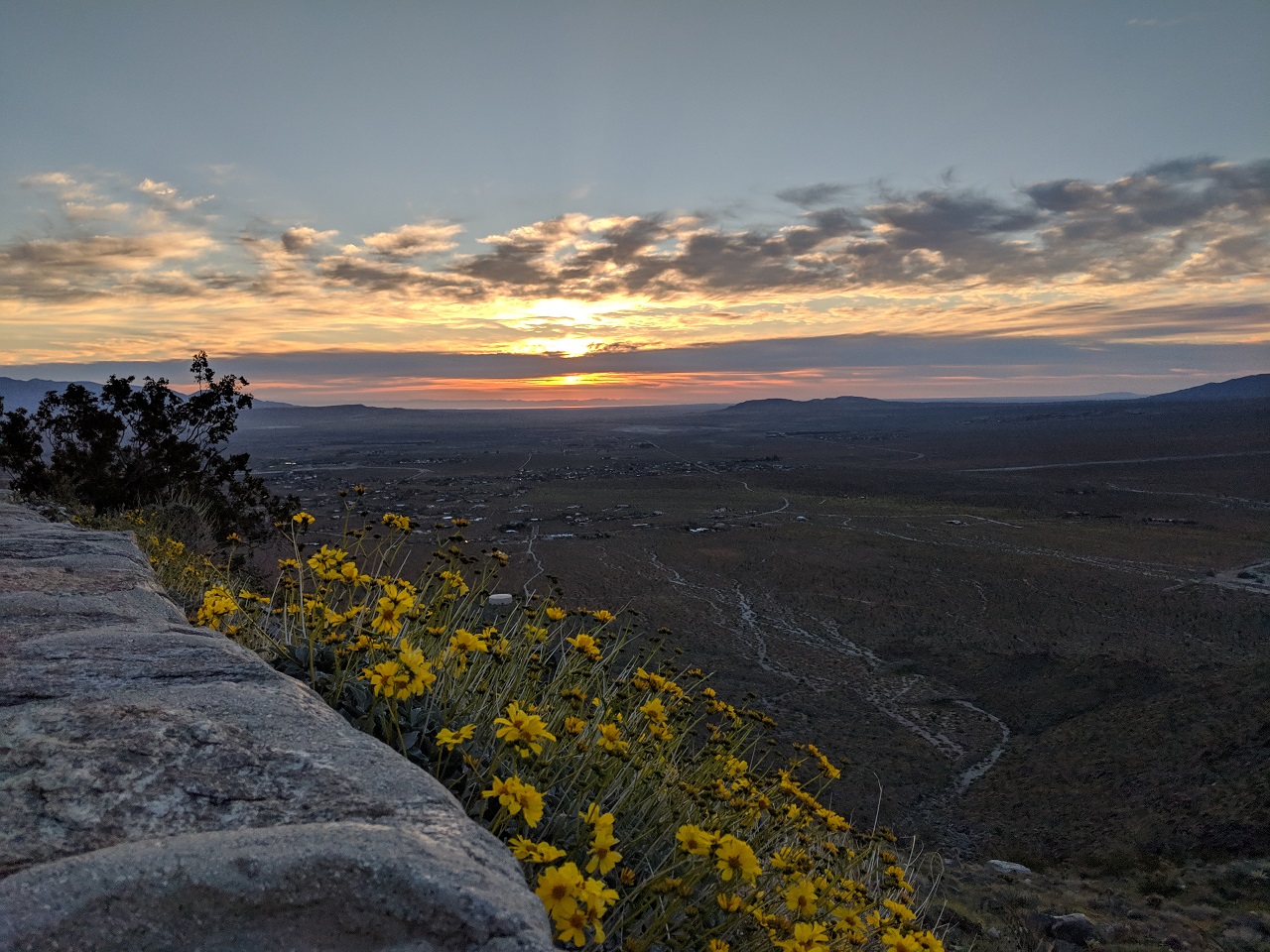
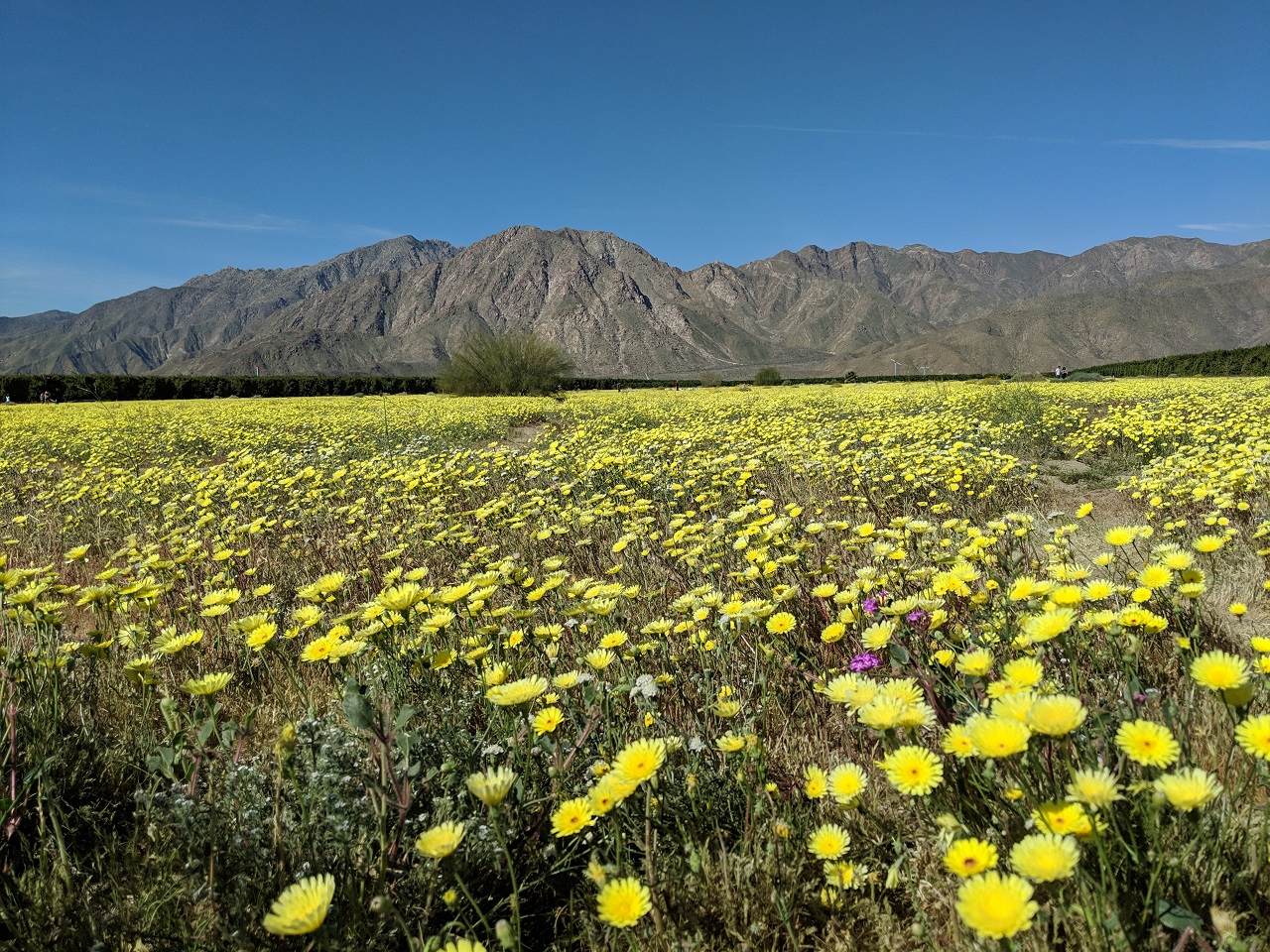
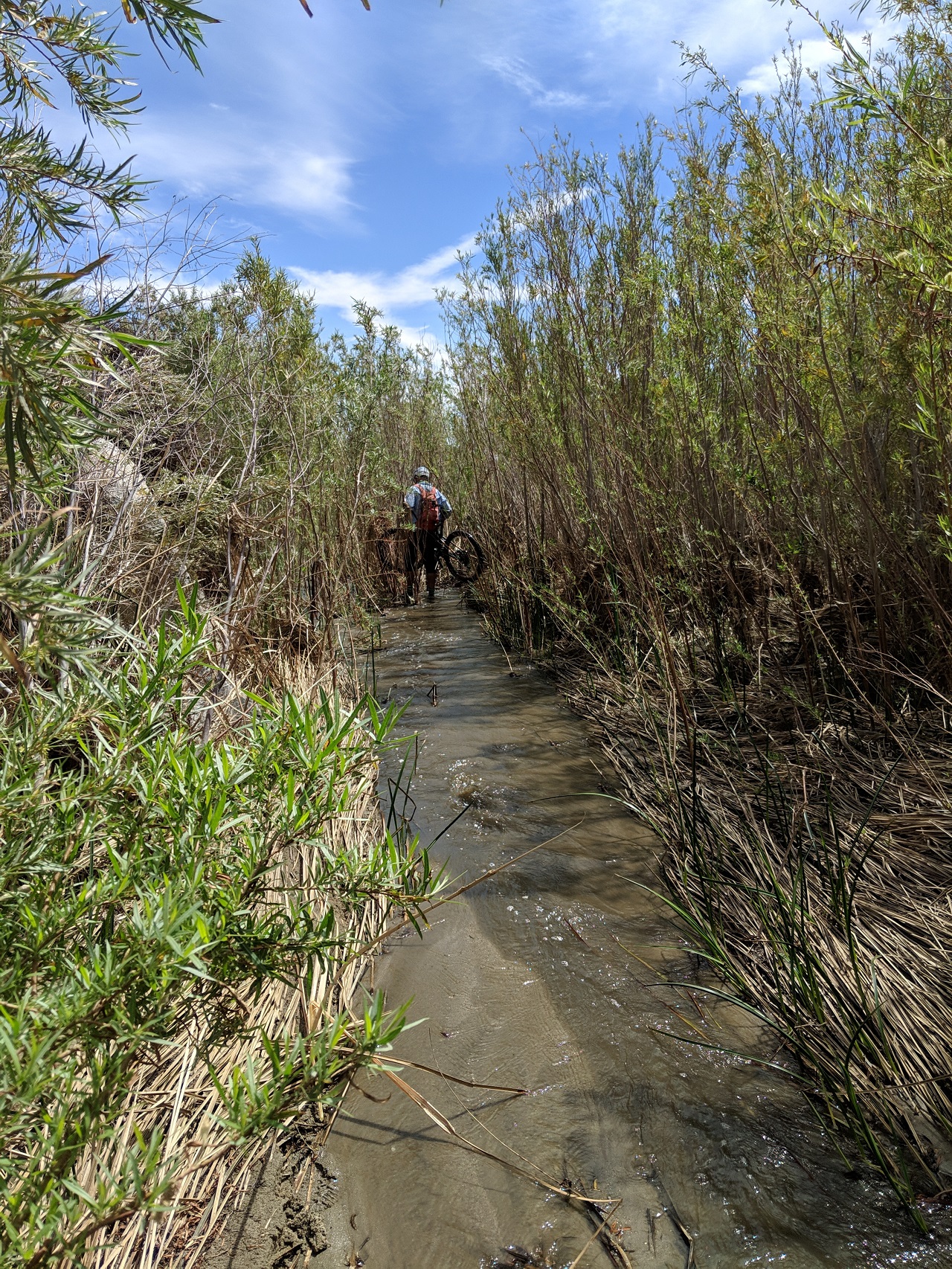
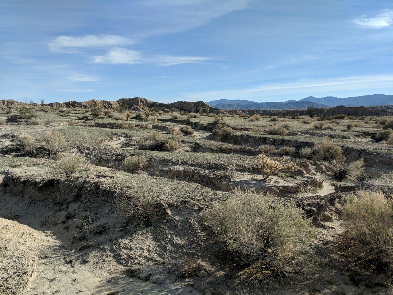
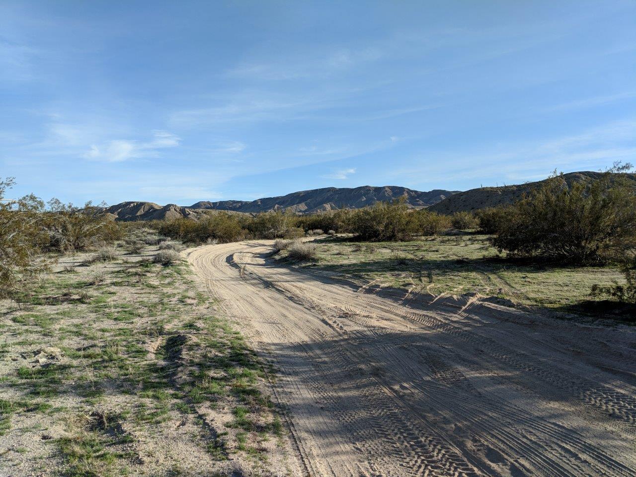
Ended the ride back to beers with a short pedal up/down South Carrizo Creek which was more of a double track than a wash. Lots of greenery with the recent rains. Its going to be a great wildflower season. 
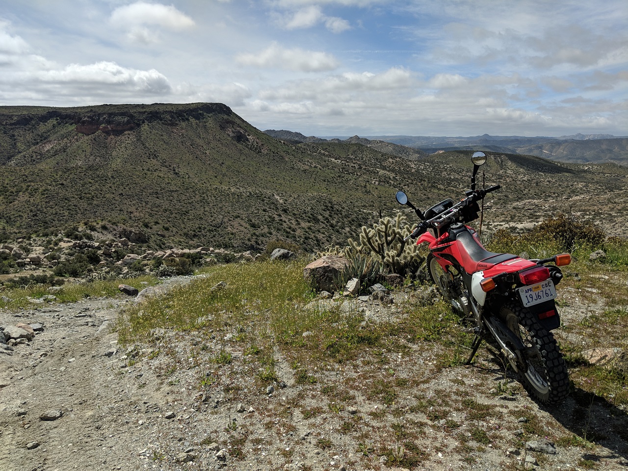
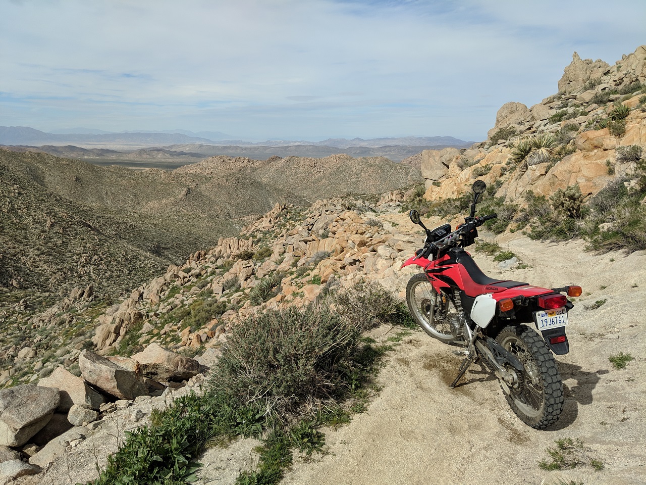
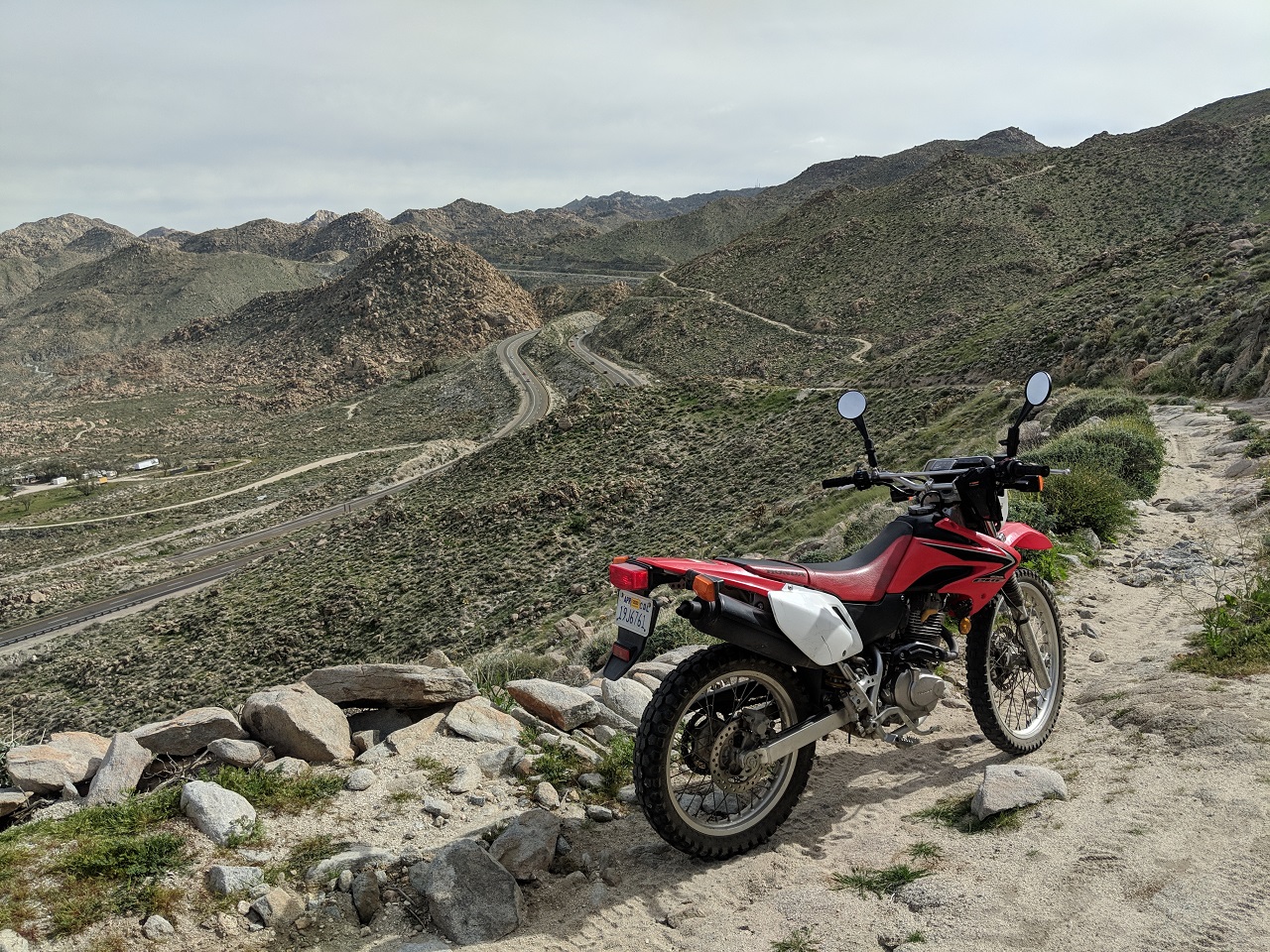
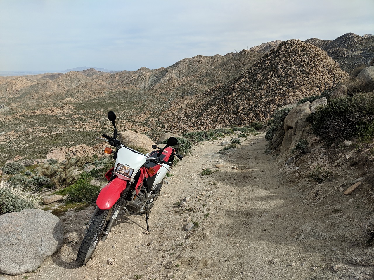
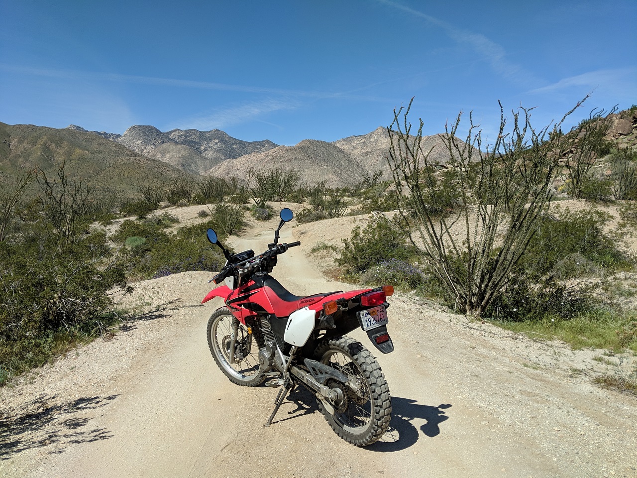
This one was pretty long at 35mi with the sand. I might take the moto up there next time to allow more time for exploring side canyons and other points of interest. |
Author: | OldDogDan [ Thu Apr 04, 2019 10:30 pm ] |
Post subject: | Re: Exploring Anza Borrego |
There is a lifetime’s worth of exploring out there. It’s a big place. I still have a tattered copy of the first edition of the Lindsay guide. I was thrilled when it came out. It’s my bible. https://www.borregosun.com/story/2017/1 ... tml?m=true |
Author: | Ray Dolor [ Fri Apr 05, 2019 12:21 pm ] |
Post subject: | Re: Exploring Anza Borrego |
Thanks for the pics, Ev. Brings back mezmories..... |
Author: | OldDogDan [ Fri Apr 05, 2019 12:41 pm ] |
Post subject: | Re: Exploring Anza Borrego |
I enjoy reading TR’s, and having done a small handful over the years, I really appreciate the effort put in both during and after the ride to share the story with others. Thanks again Evan. |
Author: | his highness [ Fri Apr 05, 2019 1:19 pm ] |
Post subject: | Re: Exploring Anza Borrego |
damn that looks killer! hopefully that area is OHV friendly, I'll be taking my 450 out there 1st chance I get! |
Author: | evdog [ Fri Apr 05, 2019 1:38 pm ] |
Post subject: | Re: Exploring Anza Borrego |
All the roads in A-B are open to motorized vehicles. Must be street legal though outside of Ocotillo Wells, but I'm sure you knew that. |
Author: | evdog [ Sun Apr 07, 2019 12:53 pm ] |
Post subject: | Re: Exploring Anza Borrego |
2/18 Went out for a day in February following some big storms in SD. A bunch of highways were closed due to snow so I had to go the long way around to get out there. Water flowing as a result... I decided to check out a short trail first that might be good to include in a bikepacking route to cut out some pavement. The trail, which is really an old dirt road, is good. But the sign says no bikes. Makes sense - look at all the damage my tire did! I have never seen snow that low before. Guessing snow line is around 2,500ft Not my drawing Next up I pulled out the moto to cruise up Grapevine Canyon and check out a couple other routes nearby Found a section of California Hiking and Riding Trail, to be explored another day It had grown overcast despite a clear forecast, and then the skies opened up and it started puking snow Unreal The road I was on started getting slick so I got the hell out of there, cruising up to the highway and taking it down into Borrego Springs. Had about 30 mi to go to get back to the truck. Snow turned to rain as I dropped down. I had brought a few layers including for my hands but even with those my hands were pretty numb by the time I got back. Had to sit in the truck for half hour with the heater cranked, to warm up again. My own personal storm cell, still throwing down up on the mountain After that I drove over to Borrego and cruised around town. Someone has placed metal sculptures all over which are pretty cool Skies looked like they wouldn't open again so I headed over to Borrego Badlands and rode out to Font's Point The maze out there is mezmerizing... Looking north at the Santa Rosa mountains From Font's I turned down Short Wash to go check out Vista del Malpais It was a cool view too but being harder to get to, better to just go to Fonts Continued down Short Wash, which was now very wide, and then climbed up Ella Wash back to the highway. Not a lot of mileage but it was cool to check out some things I've been wanting to for awhile. |
Author: | evdog [ Sat Apr 13, 2019 4:58 pm ] |
Post subject: | Re: Exploring Anza Borrego |
2/23 Headed back to the desert for more exploring. A place that's been on my to-do list for ages is Valley of the Moon. It's just off I-8 before it drops down into the desert, and stretches right down to the border fence (not wall). While most of the "trails" are jeep roads it is popular with hikers and rock climbers. I brought the mountain bike. There is a stout climb up over a ridgeline to access Valley of the Moon Still some snow on the higher peaks Not much here besides cactus and rock What takes a modified 4x4 is easy on a bike There were a few trees growing out of rock outcrops. This one was dead Looking south. Those snow covered mountains are in Mexico Same with those ones, along with the wind turbines Inspecting Trumps border fence. Looks secure to me! On the way out I took a more southern road that followed the border fence for a while. I got to enjoy about a 1/4 mile of some of the steepest hike-a-bike I've ever done to get out of there. The reward was dropping down a different steep, rocky road Back to the truck right at sunset Headed out for a soak in some local hot springs Nice little oasis in the middle of nowhere. Didn't know what to expect on a Saturday night - packed with rowdy assholes? Nope, had it to myself Flowers next to my campsite. I camped nearby thinking a sunrise soak would be rad. Didn't feel like getting up when the time came, and soon enough people showed up. Pass. Time to head out anyways Had a bit of a drive to get to Anza Borrego. Decided to check out a couple washes I heard were fun to ride. Parked at The Slot trailhead Nearby mountains still covered in snow I pedaled out Borrego Mountain Wash and over to Rainbow Wash End of the line was a head scratcher. It had looked like I should be able to go further on satellite, but I couldn't see an obvious way to continue Looking around I found a side slot canyon a couple turns back that continued on. Must be what I saw earlier. It was a better place to ditch the bike as well Hiking onwards. This one went on for quite a ways Getting super narrow Finally couldn't go further but it looked like I could climb up to a ridge top. Walked maybe half a mile up top, and got within 500 feet of Fonts point. Could have easily climbed up there Badlands are just as interesting from down low as they are when seen from above Looking west toward the dunes Retraced my steps and pedaled over to Hills of the Moon wash This one was tougher riding with more loose sand Caught up to a bunch of jeeps right at the end. Slot canyon there didn't go up very far. Or maybe it did, but was blocked by fallen boulders It was getting late at this point. Each of the washes was around 5mi long so out and back was 10mi each. And another 5-6 back to the truck. At least the climb back out on Buttes Pass Rd was solid road bed and not sand. It was close to sunset when I got back but still wanted to check out The Slot. Fortunately most people had left for the day so I wouldn't see many down below Had considered trying to take my bike through it, but was glad I didn't. Even taking a wheel off it would have been a tight squeeze, and no way to ride any of it Such a cool spot Last rays Rock cairns Hmm what just happened? Must have been an earthquake or something Walking back, time for one more squeeze Sunset Another great day of exploring. |
Author: | Ld00d [ Sun Apr 14, 2019 9:12 am ] |
Post subject: | Re: Exploring Anza Borrego |
that fence is working to keep Canadians north of the border |
Author: | evdog [ Sun Apr 14, 2019 9:14 am ] |
Post subject: | Re: Exploring Anza Borrego |
3/9 Another trip to the desert trying to knock more things off my to-do list. First up was checking out Table Mountain. This is an area across I-8 from Valley of the Moon that has some jeep roads that go west stopping just above the railroad that runs through Carrizo Gorge. It has always looked like a cool area but I've never gotten around to checking it out before. This was a perfect moto mission. Easy to see why the call it Table Mtn I followed the jeep roads for quite a ways, eventually hitting the end of one where I got a good look down into Carrizo Gorge. You can just make out a glimpse of the railway tracks in the middle of the pic The first road I tried to ride down was too steep and I wasn't sure I'd be able to make it back out. I can't just carry the moto up something steep like I can with the mountain bike so I have to make good choices out there. I found an alternate way down and then looped around, coming to the bottom of the steep section. Since I knew I could go back the way I came, I wanted to try and ride up this. Got 2/3 of the way up it and came to a grinding halt when it had a huge step up at a 90* turn. Wheel just sunk in trying to go further so had to roll back down. There was a split with a second road bypassing that steep part. Line on the right is what I tried first. Made it up the left line second try. Its steeper than it looks. I followed a few different roads to see where they'd go. I was hoping to find a route that connected down into Anza Borrego. A couple roads crossed into Anza Borrego but didn't go through. This road wasn't on my map but kept going and going. It was a slow one with lots of rock steps to ride down. Probably the most continuously technical ride I've done on the moto yet. Eventually it dropped me right down to I-8. I don't recall ever noticing it while driving. My route out of here can be seen climbing away. Look how steep it gets when it turns uphill This was just before it got steep. I should have taken some pics of that stuff but I just wanted to get through it. There were some big rock rolls I had to go up. Made it up a couple I didn't think I'd make and got bucked off the bike on a couple others that had multiple step ups. In one crash I bent my shifter and had to bend it back. I had to get off and "walk" the bike up a couple spots. But made it through. This was one trail I probably shouldn't have tried to ride alone. Beer back at the truck was well-earned. A ride up Carrizo Canyon was next on my to-do list. I loaded up the moto and headed down into Anza Borrego. Stopped at an overlook to check out the view. There were two things up Carrizo Canyon - deep sand, and flowers. I was glad I rode the moto and not the mountain bike. Sand was packed down in some places. It was tough riding where the sand was loose. The road went a lot further than this on satellite, but no vehicles allowed past this spot since it crosses into state wilderness. Looking back south. Better get going before it gets dark.... After the ride I headed north to find a campsite closer to my ride for the next day. Ended up at Blair Valley. Tons of #vanlifers camped there but I managed to find a spot away from the crowds. Pre-sunrise from my sleeping bag I figured I should head up into Borrego Springs and check out how the super bloom was coming along. Not spectacular yet, but not bad. I headed up Coyote Canyon next. Definitely more color up there, with thick beds of yellow flowers Some ocotillos were in bloom too. Crowds were steady but it wasn't bad. Turned around at the second stream crossing. I headed across County Rd S-22 next planning to check out the Calcite Mine. A bit of history at the trailhead. Its very cool to have all these historic routes. No way would bikes or motorized traffic be allowed here if not for them. Cool canyons below the Calcite mine I believe there is a hiking route through them from the mine. Something to check out another time…. Before WW2 someone caught a glint up in these hills and investigated. This became the only US site where optical grade calcite crystals could be sourced. The area was trench-mined and the crystals used in gunsights for the war. I hiked up above the mine for some great views of Anza Borrego and even the Salton Sea. There’s a couple trenches just in front of me here Rode down to another rock formation. This is looking back up at the mine Dropping back from the mine I rode a quick loop around North and South Palm Wash and then crossed the highway, planning to loop some more washes down there. If I didn’t mention it already there were butterflies everywhere. A lot of them were splattered on the front of my truck. A cloud of these ones ended up in my face (not splattered, I’m not that fast!) About to drop into the Carrizo Badlands Exploring. Water was seeping a bit higher up so I turned around when it got mucky Unusual sight Another unusual sight. Ancient giant underground worm? More exploring I followed Salado Arroyo around to Tule Wash which had the best riding surface and best scenery of the day. Late afternoon light helped with that. I was going to loop around on Basin Wash but it appeared to be all deep sand, so I retreated on Tule Wash and retraced my route, racing the sun back to my truck. Made it back just before last light. Another great weekend of exploring in the books |
Author: | evdog [ Sun Apr 14, 2019 9:18 am ] |
Post subject: | Re: Exploring Anza Borrego |
Ld00d wrote: that fence is working to keep Canadians north of the border It did its job. I didn't cross it! |
Author: | Ray Dolor [ Sun Apr 14, 2019 11:43 pm ] |
Post subject: | Re: Exploring Anza Borrego |
Another meticulous and detailed report, EV. Kudos! |
Author: | Ray Dolor [ Sun Apr 14, 2019 11:44 pm ] |
Post subject: | Re: Exploring Anza Borrego |
Oops. |
Author: | evdog [ Thu May 09, 2019 4:38 pm ] |
Post subject: | Re: Exploring Anza Borrego |
Final desert trip of the season for me, weekend of 3/23: Superbloom was still peaking. temps looked great, and trails in SD were still soggy, so I headed back out to Anza Borrego for another weekend of exploring. At home I can sleep in all morning. Camping, I often wake up at first light. It was super damp out so I got up and headed down the mountain to dry out Stopped to take in the sunrise and views on the way down Drove down into Borrego Springs and checked out some more of the sculptures before the crowds arrived Then headed over to the flower fields, found a quiet spot to eat breakfast and dry my stuff out Unloaded the moto and went for a ride up Coyote Canyon. It used to be possible to ride moto all the way up Coyote Canyon to the town of Anza which is what I planned to do, then loop around. But apparently state parks has shut that down and you can only ride up to the lower Willows now. There is still a route through the willows, used mostly by mountain bikers and occasionally by hikers but it is getting hard to follow since motos used to maintain it. I decided to hike through the lower willows to see what it was like. First part was hiking up a stream bed. A hundred yards up I came to a point where new stream flow was coming down the wash. A couple hundred yards up water was flowing freely. Then the willows closed in and it became overgrown. Ran into two bikers who said it had been a tough push through. They'd had a hard time finding the route from the far end. Yum Managed to keep my feet somewhat dry, surprisingly Far end of the willows had a couple big palm trees as a landmark. Coming north I was able to find my way through OK but I could see how it was hard starting there. The whole section was around a mile long. Back on the moto I retraced track down Coyote canyon and headed back over to Carrizo Badlands to do a loop. Checked out a few side trails. A large tunnel went under the highway here but with a 2 ft step up I could only walk through today. Rode down the route I tried to MTB on a previous trip but turned back due to sand. Continued on today and finished the loop. Would have taken me hours longer on MTB. Ended up with close to 90mi total on the moto and was pretty sore by the end of it all. Fun day exploring though. Need to go back and ride the rest of Coyote Canyon on MTB. |
Author: | evdog [ Thu May 09, 2019 4:43 pm ] |
Post subject: | Re: Exploring Anza Borrego |
I'd brought my mountain bike along but was still feeling too sore from the moto riding to pedal. Decided instead to head over to Three Sisters falls and do a hike since water should be flowing and I'd never checked these falls out before. Camped not too far away in a nice oak/grassland area. View of SD backcountry from the high point (and beginning) of the hike. First view of the falls. The trail used to head down a steep fall line slope that required scrambling to get down and was a miserable grunt to climb back up in the heat of the day. But the forest service recently build a nice manicured contouring trail to make the falls easier for the unprepared to access. I timed the hike perfectly. The early early risers were already headed out as I headed down, and the hoardes were still a ways behind me. Only 4-5 of us at the falls when I got there. And here they come! Could almost hear the backpack speakers from across the valley. Time to get the F out of here. Free entertainment was watching people trying to slip-slide their way down this steep section. Pink flags suggest one more re-route is in the works. Good times. Also made a quick stop in Pine Valley and did a short loop on lower Noble / whore to finish up the weekend. |
Page 1 of 2 | All times are UTC - 8 hours [ DST ] |
Powered by phpBB® Forum Software © phpBB Group http://www.phpbb.com/ |