Dirt Treaders http://dirttreaders.com/phpBB3/ |
|
TR - Montana Trip 2018 http://dirttreaders.com/phpBB3/viewtopic.php?f=56&t=17731 |
Page 1 of 2 |
Author: | evdog [ Tue Oct 02, 2018 12:21 pm ] |
Post subject: | TR - Montana Trip 2018 |
First things first, some politics and a request for help. Comments are needed (Due Oct 9, 2018) on the Helena Lewis and Clark National Forest (HLCNF) Forest Planning Process. If the decision goes against bikes it could lay the groundwork for the idea that bikes only belong on front country trails and not in the backcountry. Why should you care? Because Region 1 including Montana is fairly influential in the Forest Service and a decision made up there would set a precedent that other forests such as Cleveland NF might follow. 
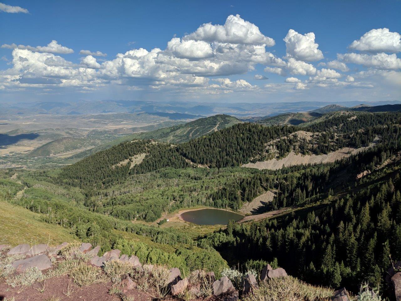
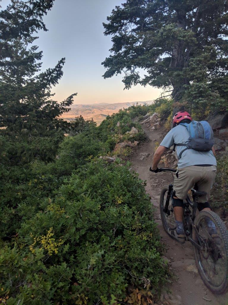
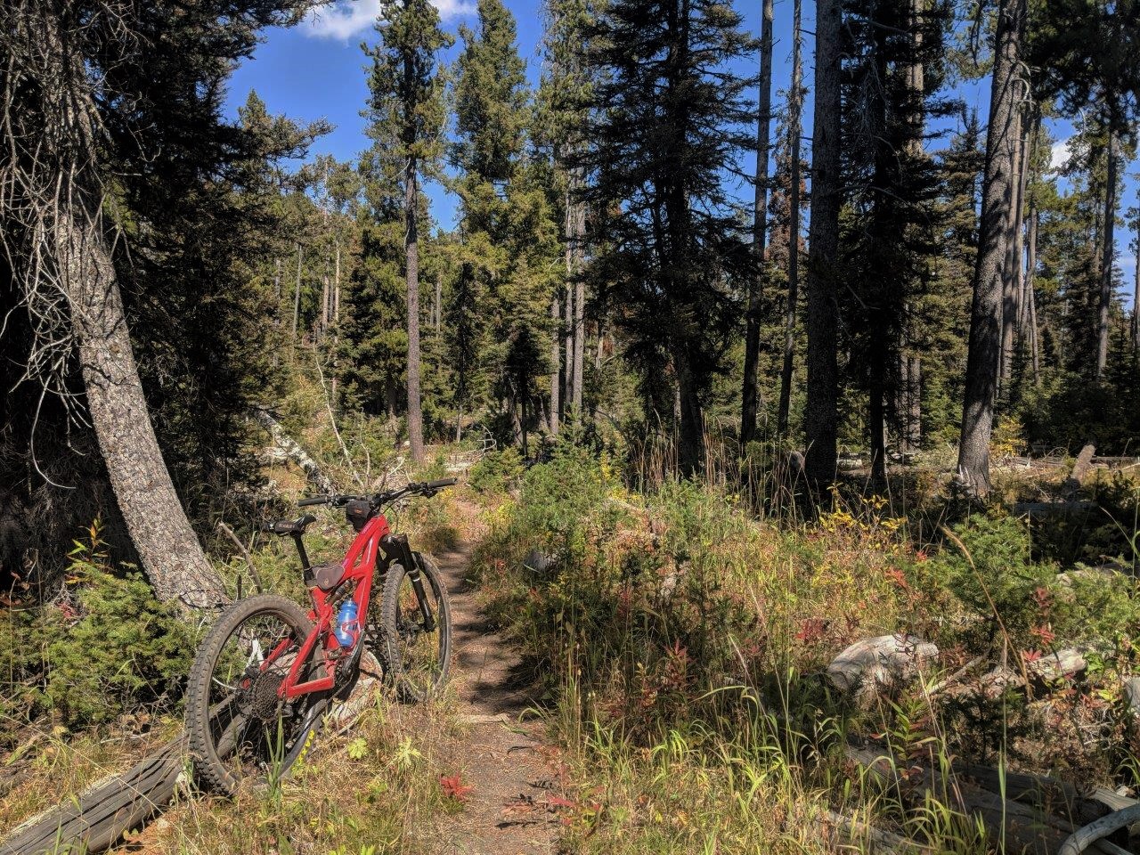
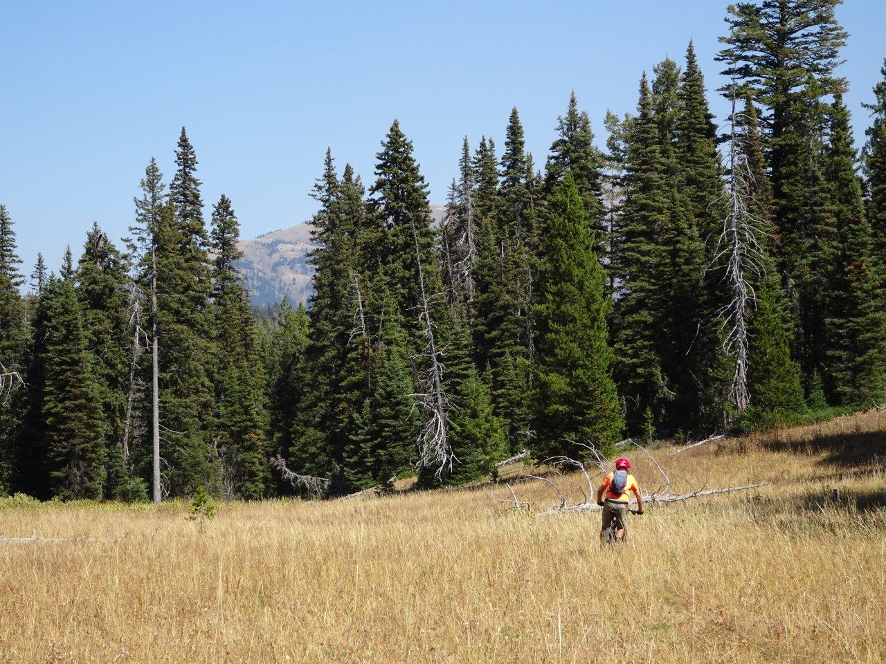
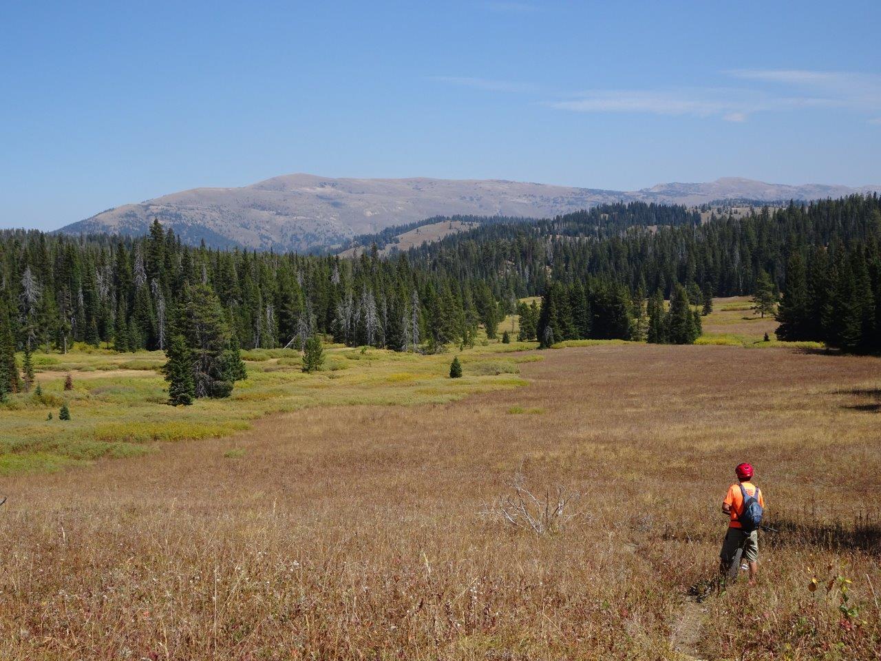
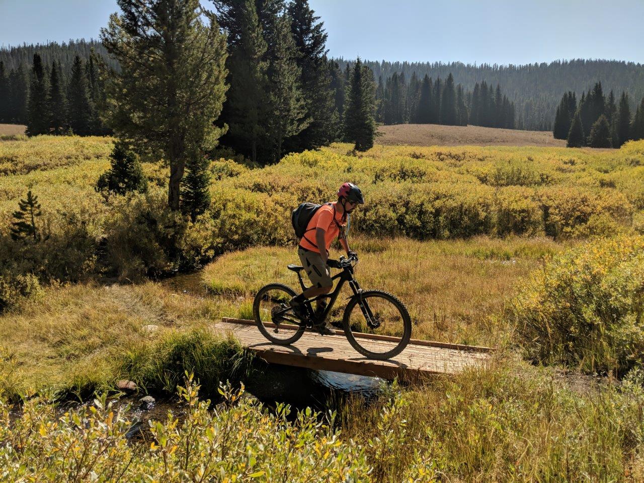
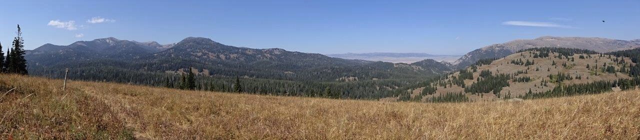
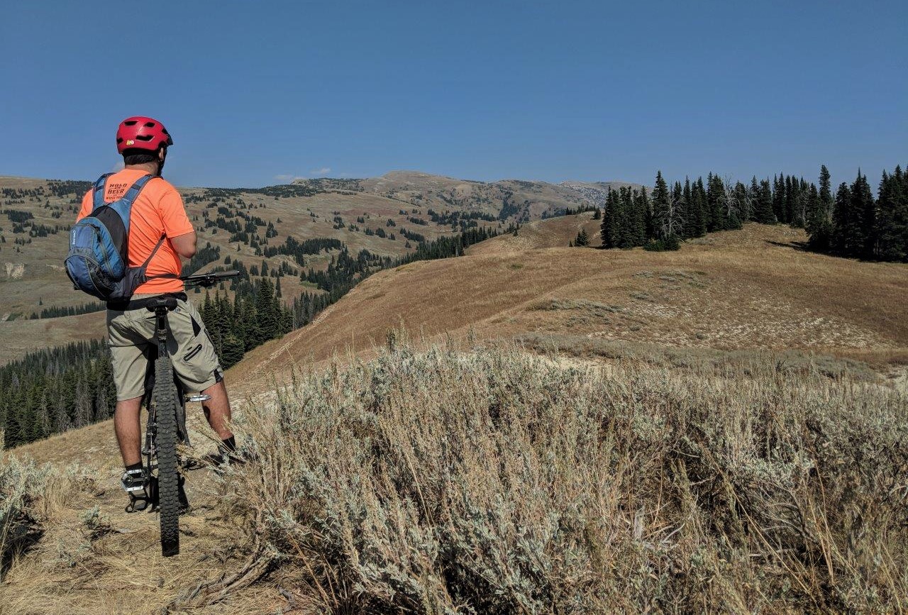
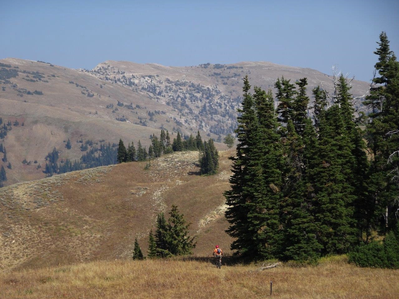
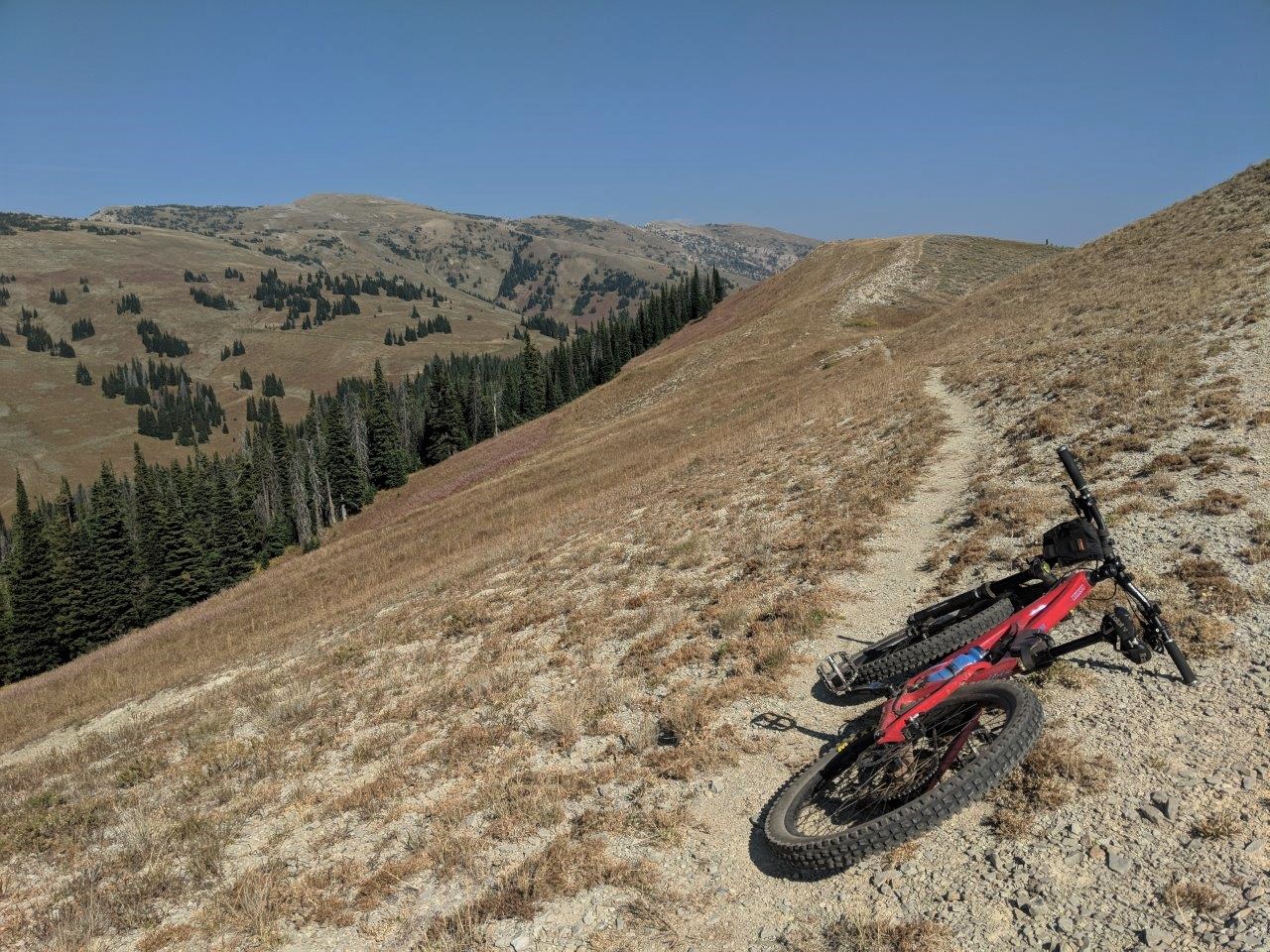
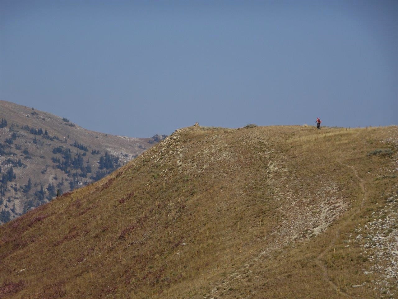
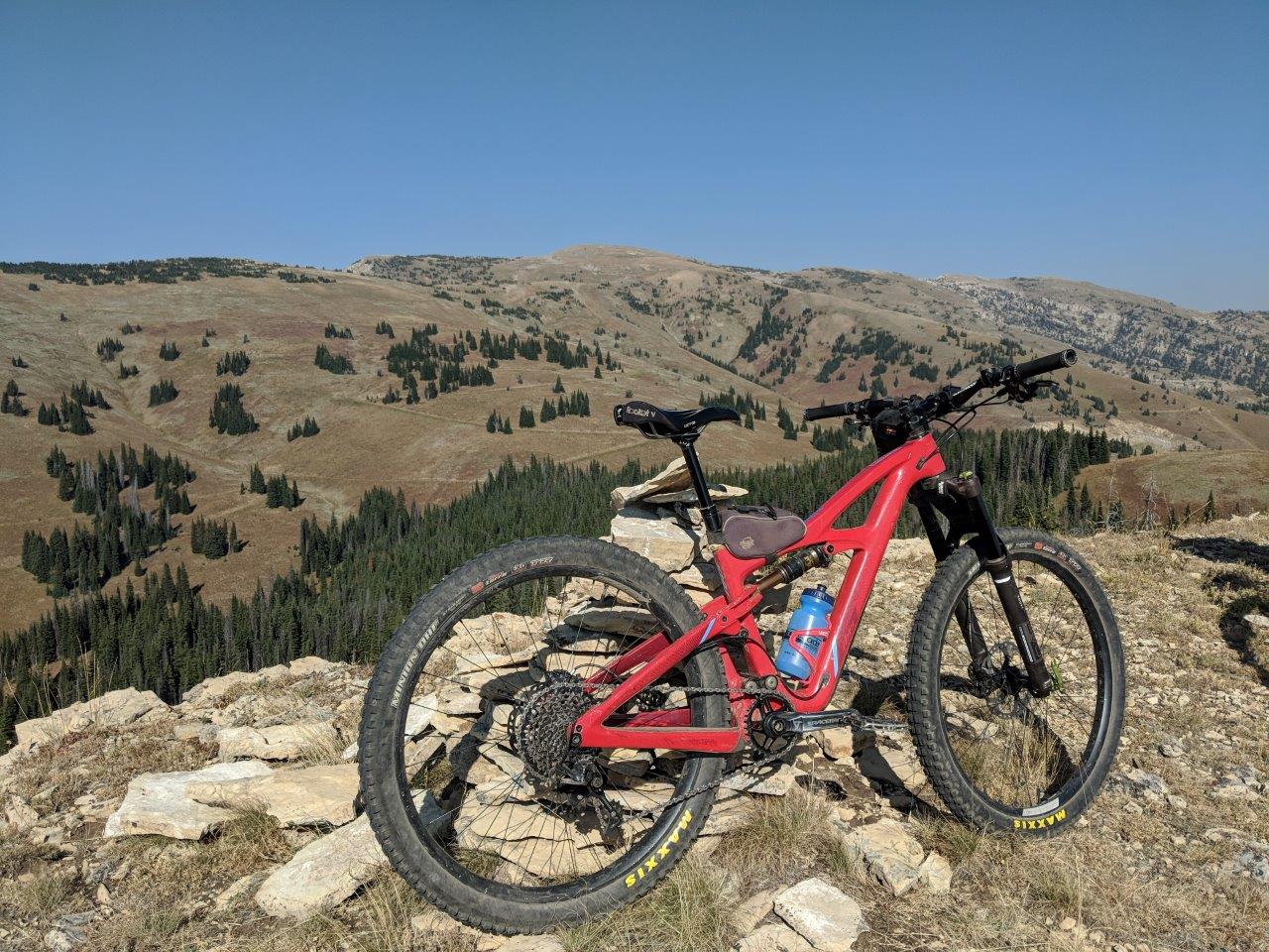
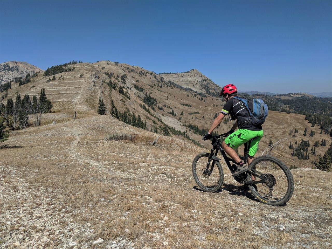
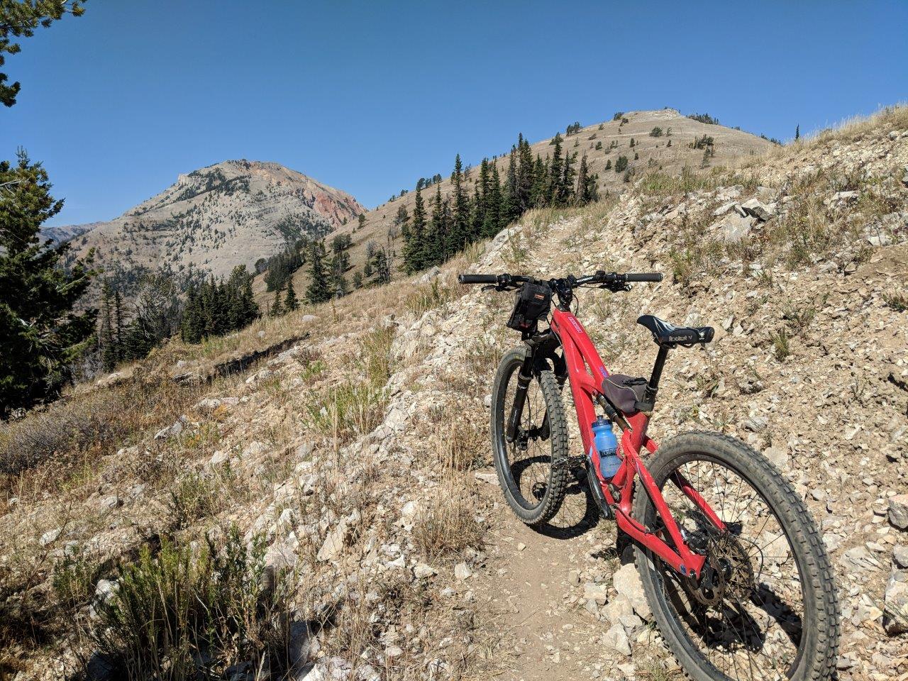
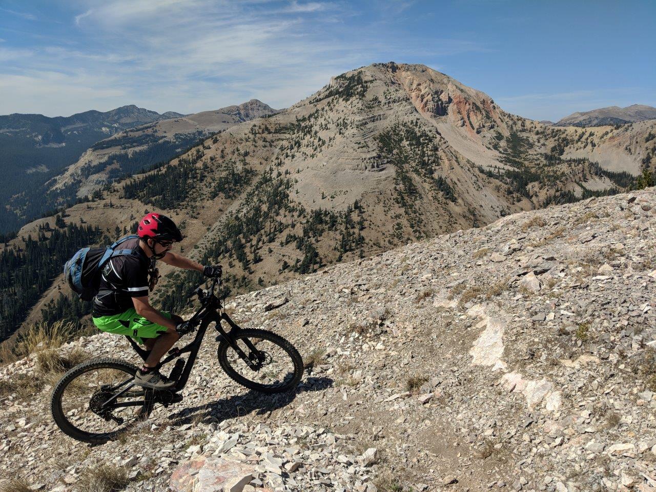
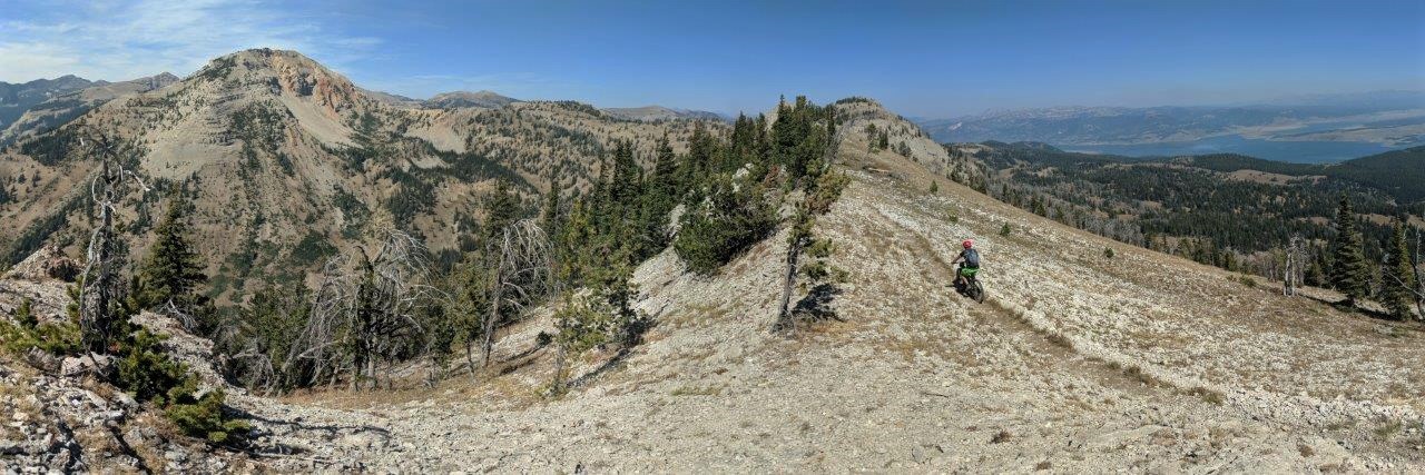
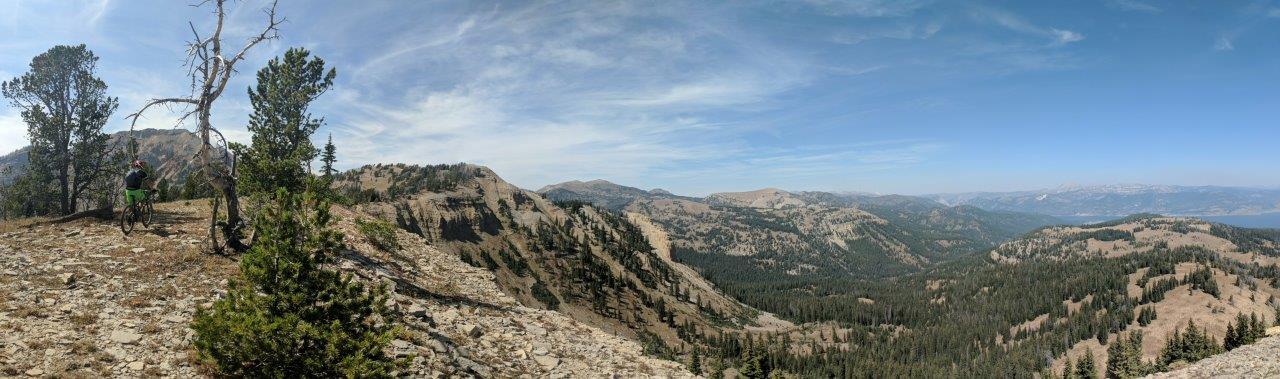
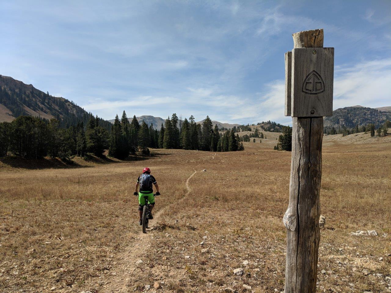
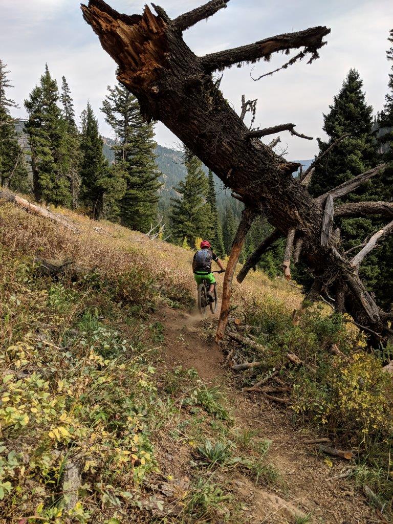
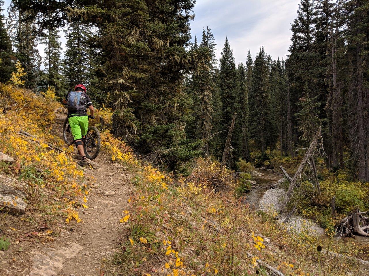
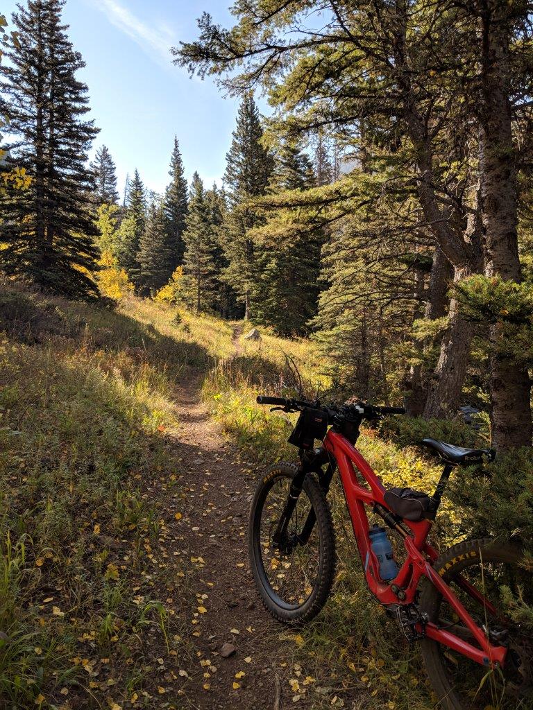
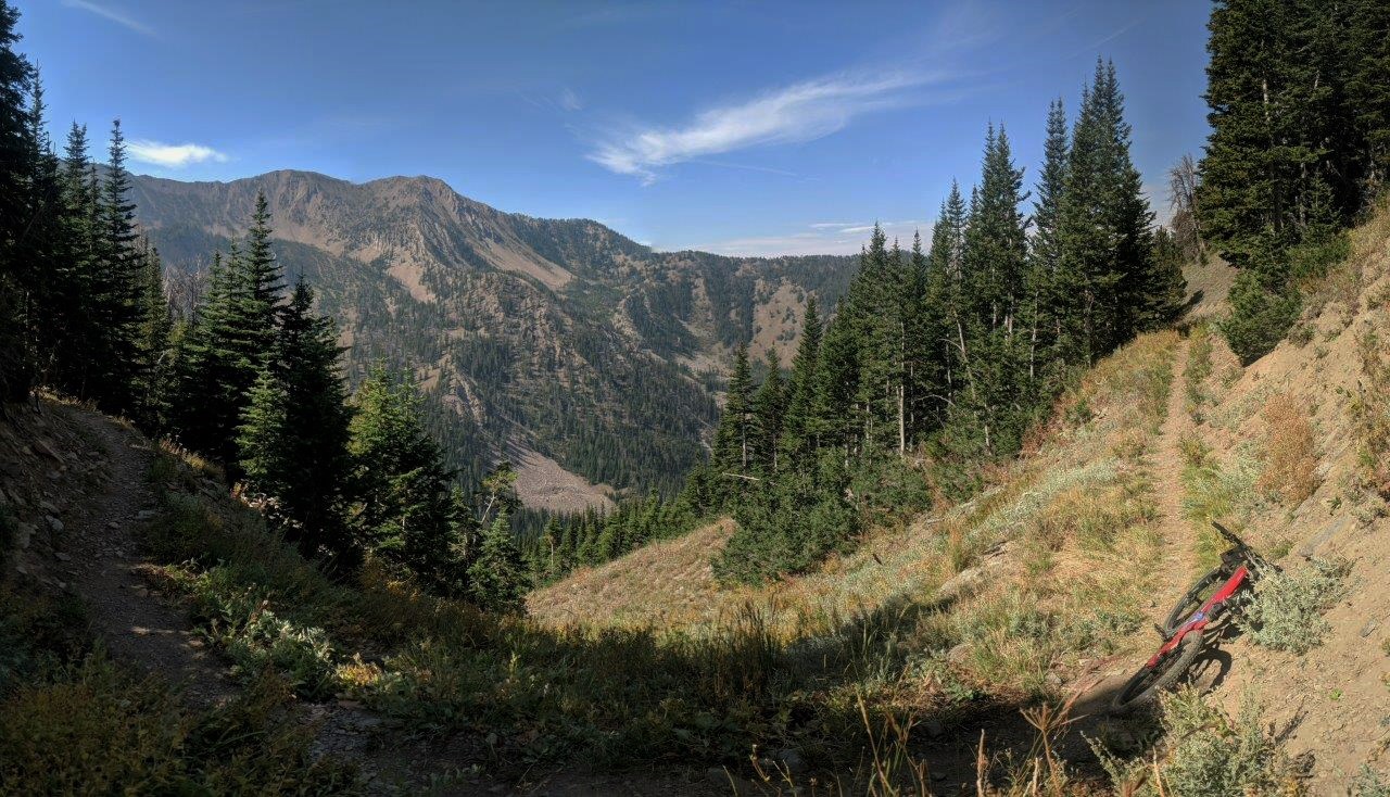
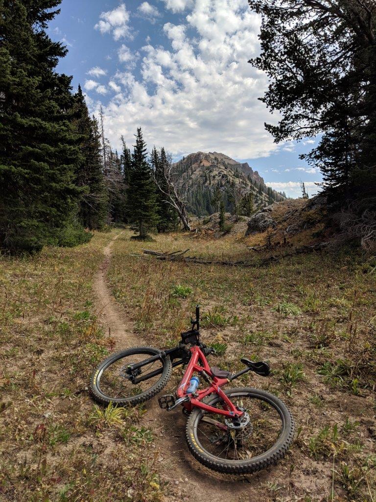
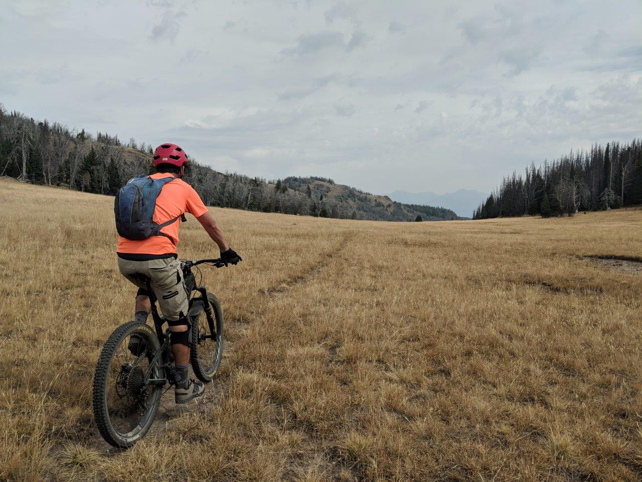
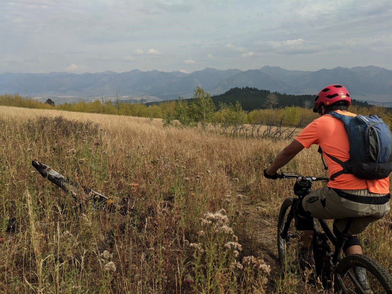
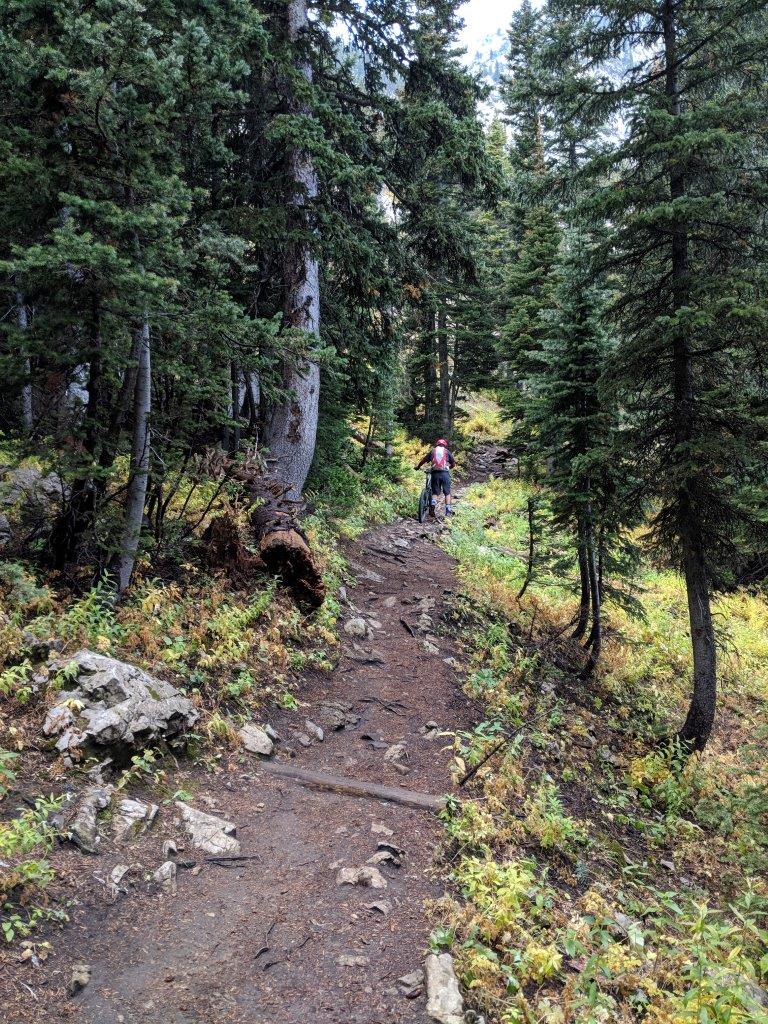
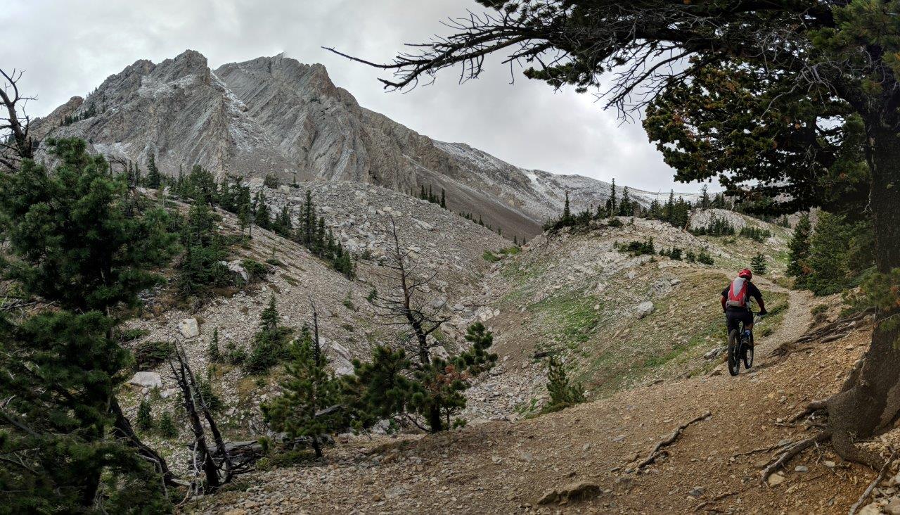
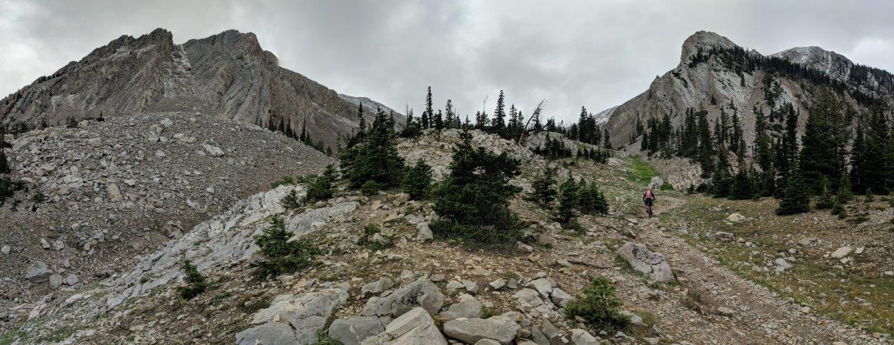
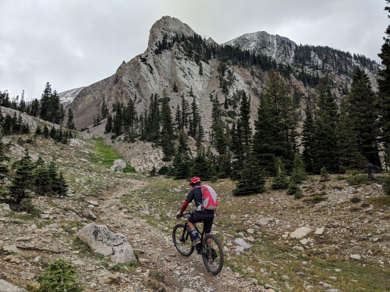
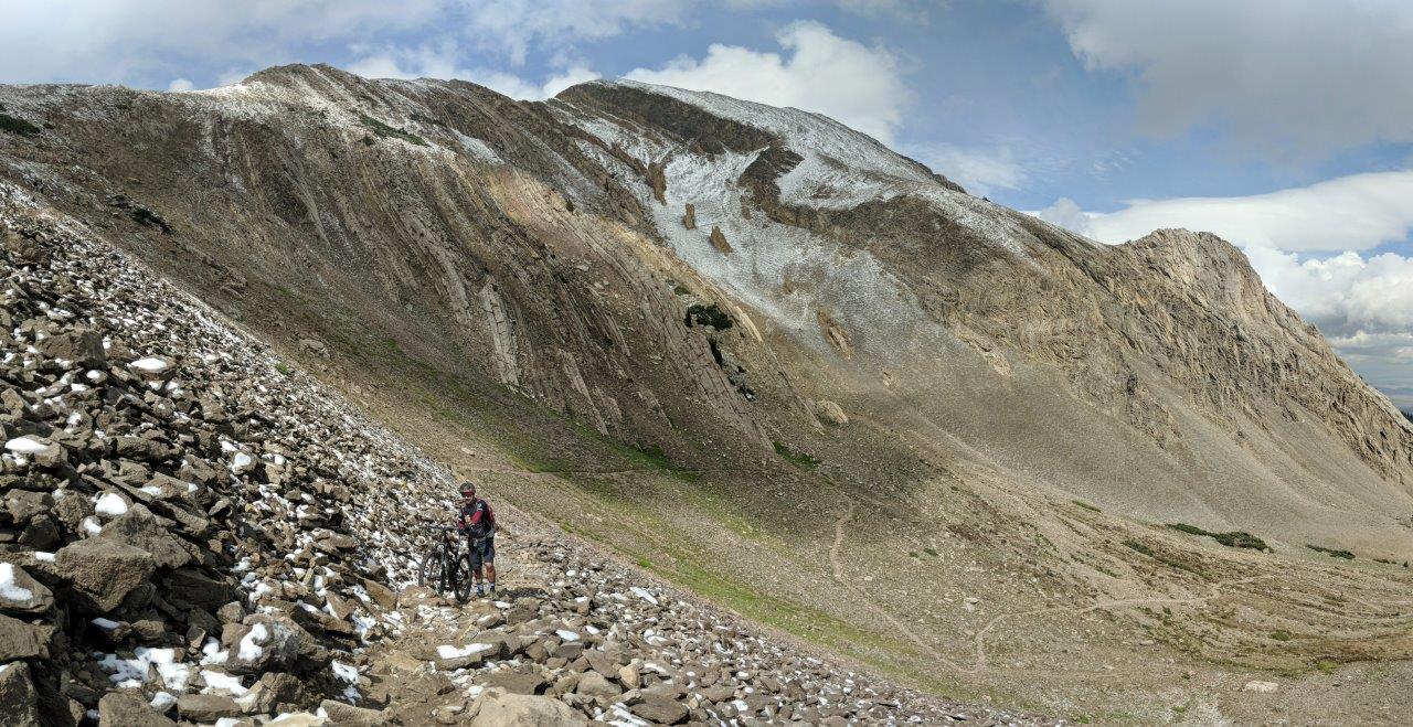
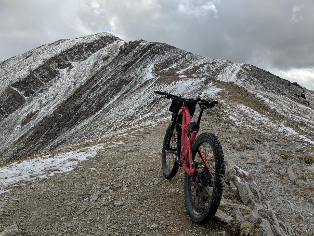
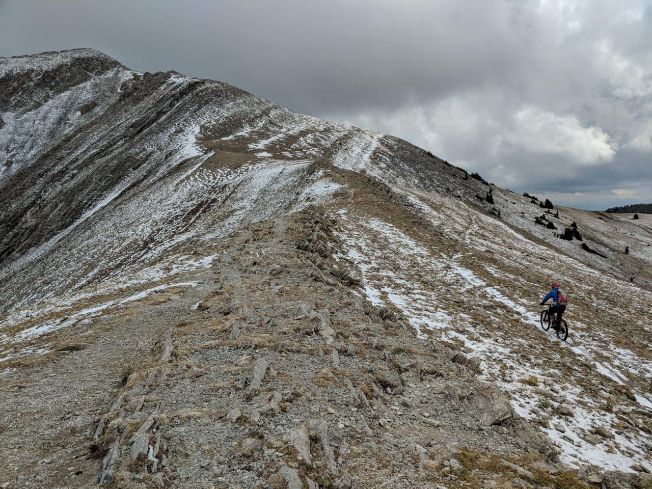
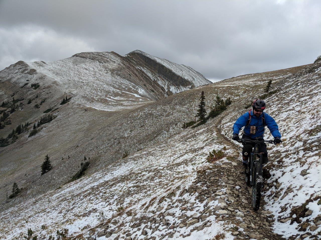
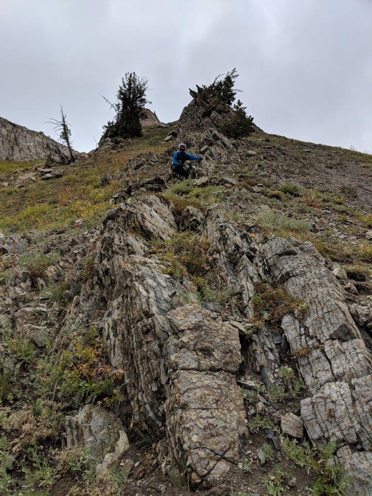
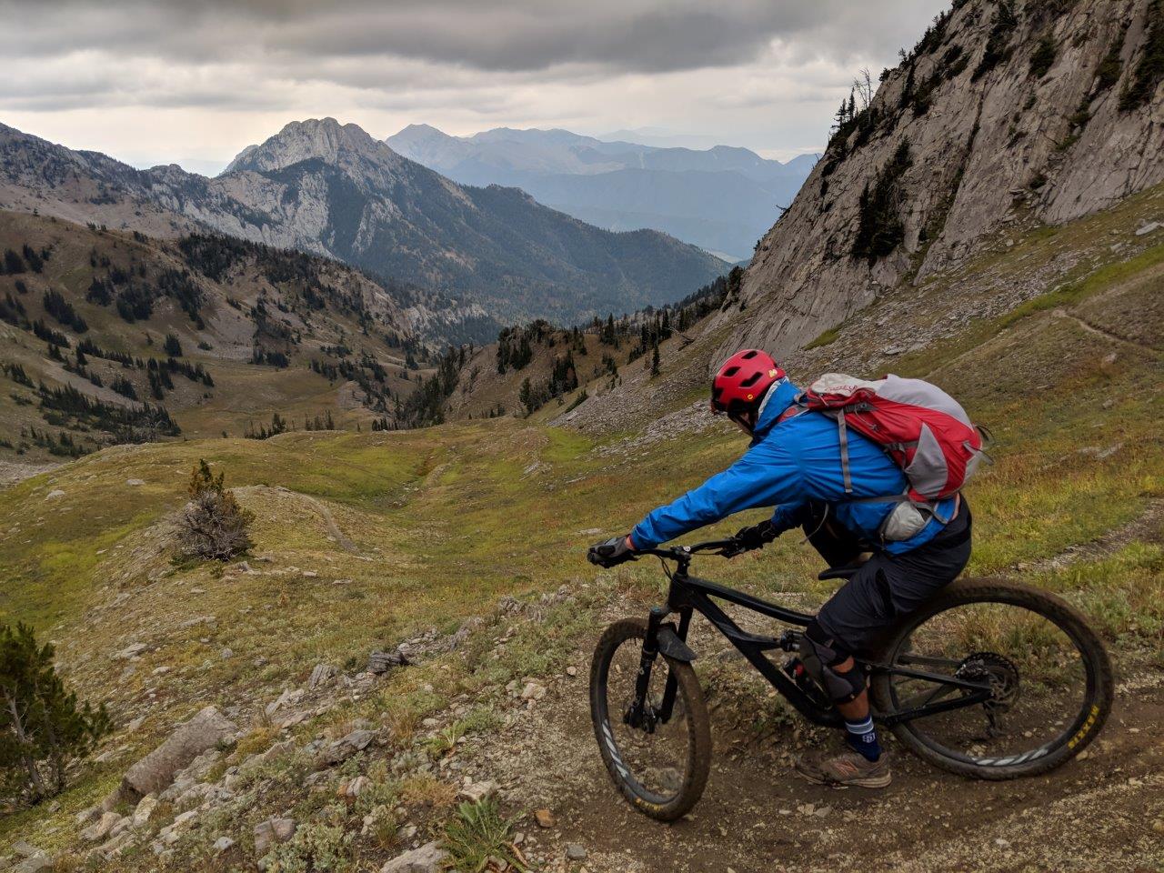
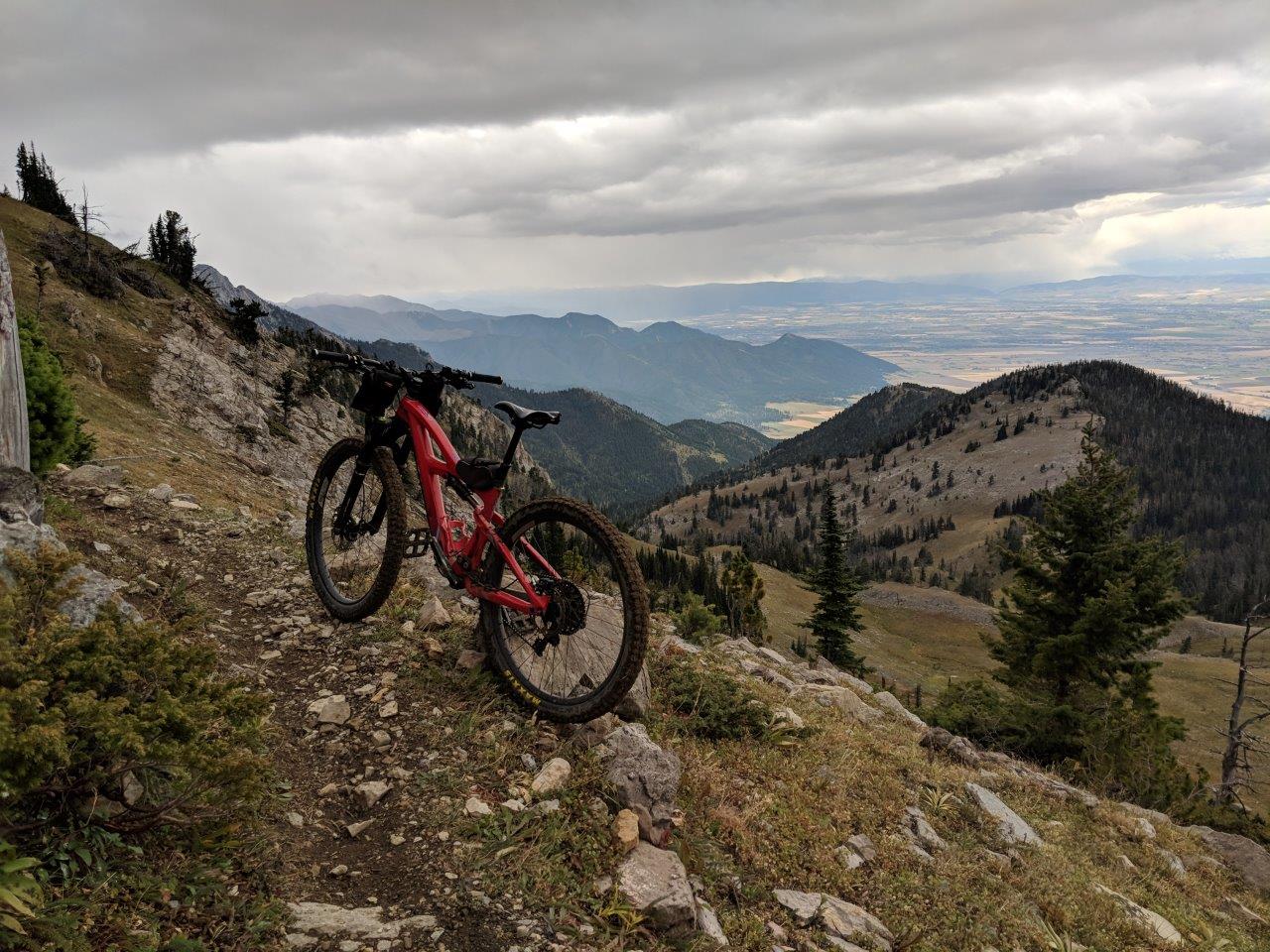
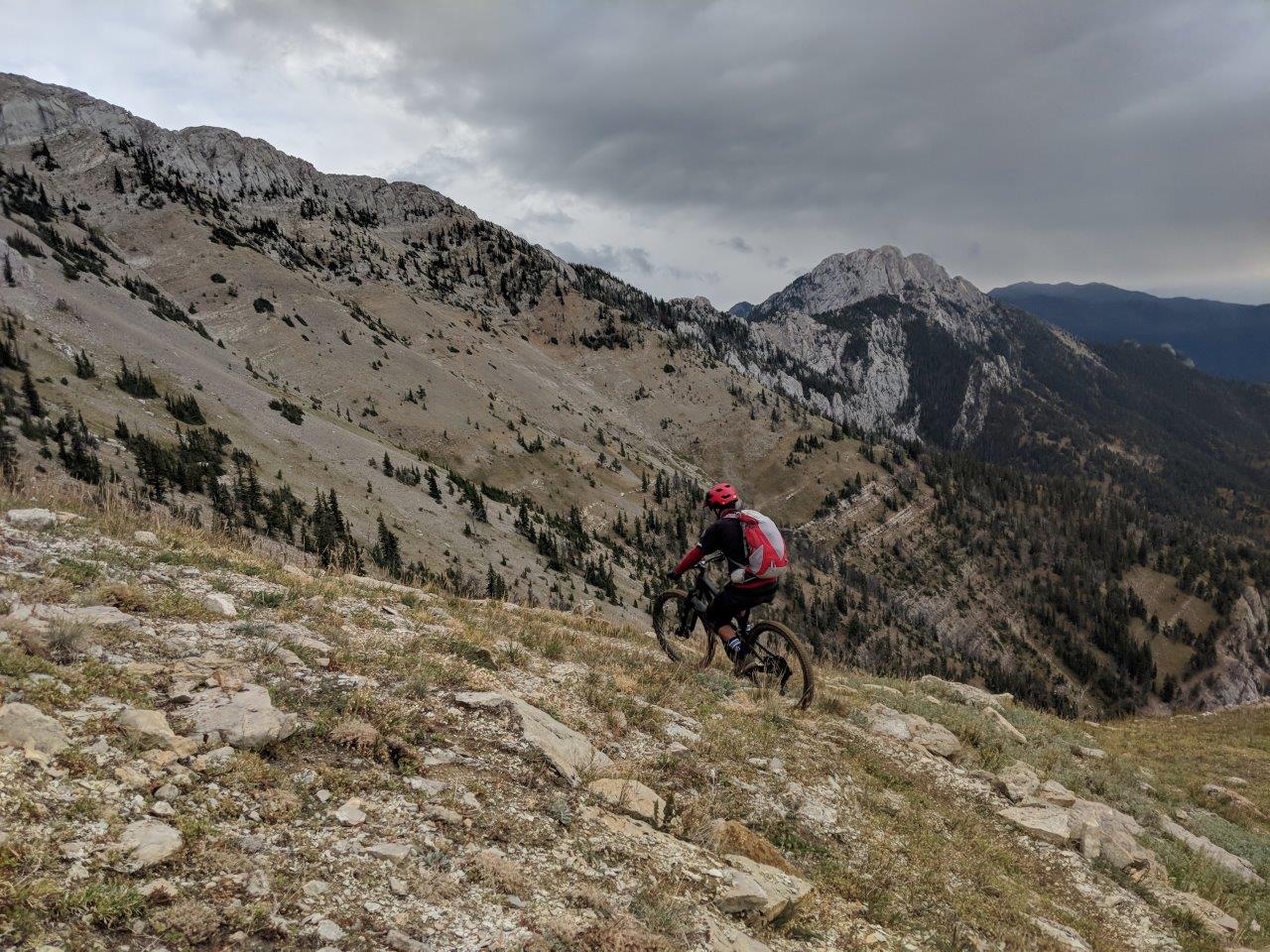
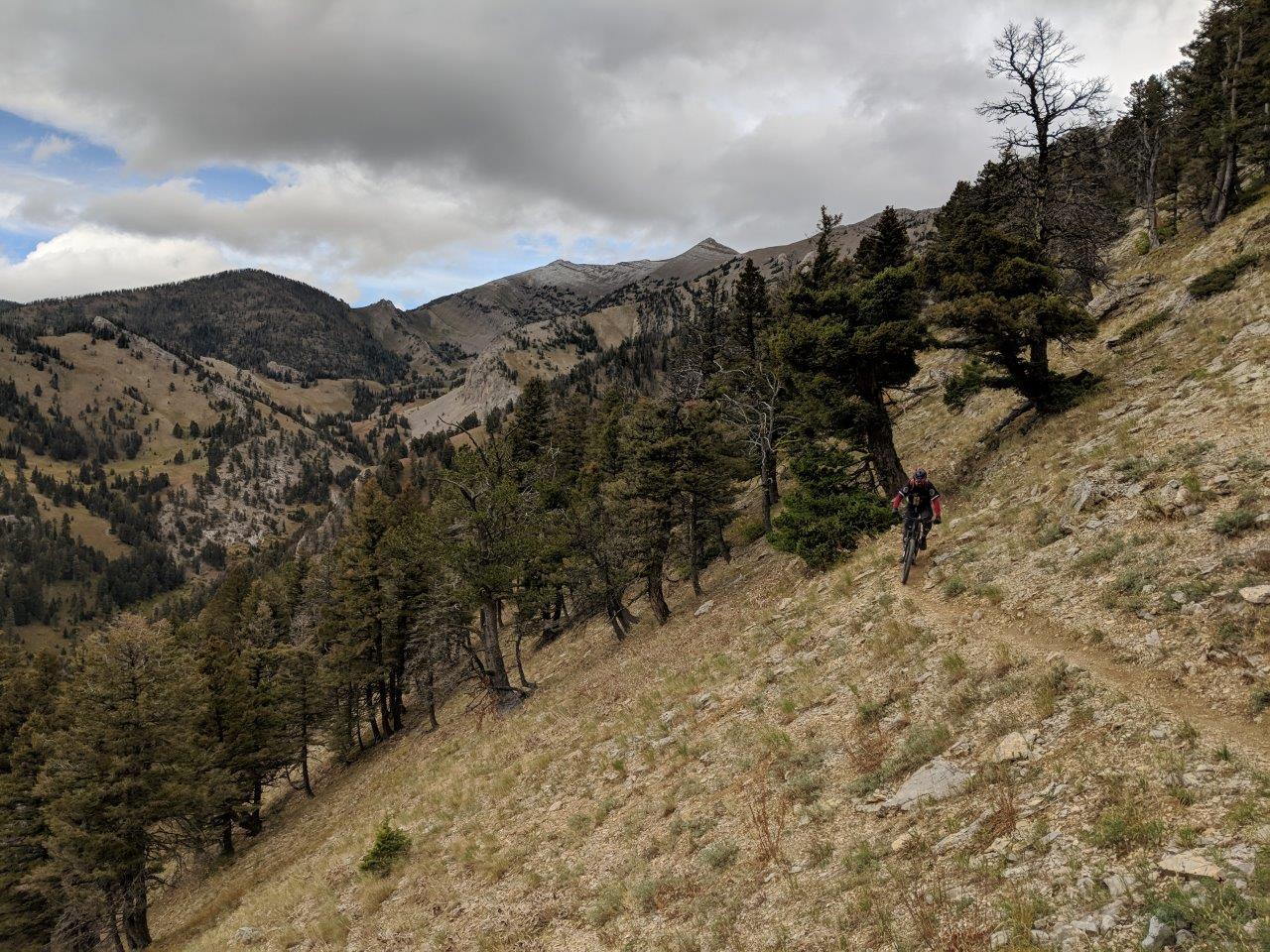
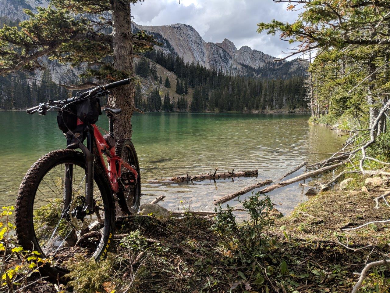
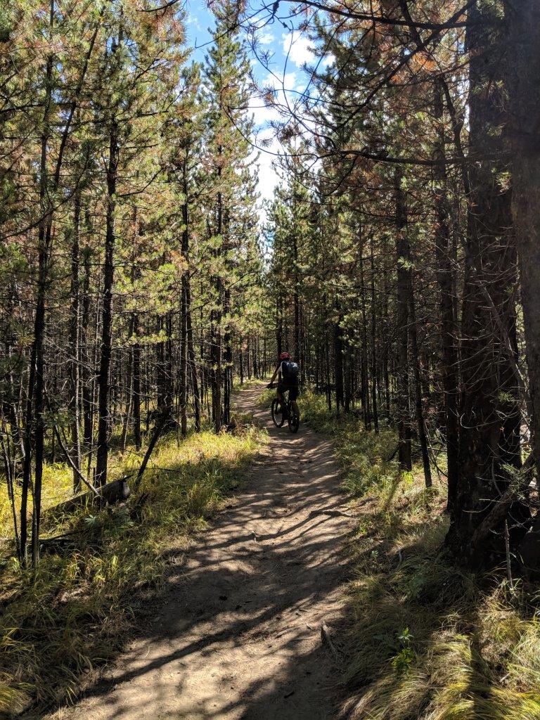
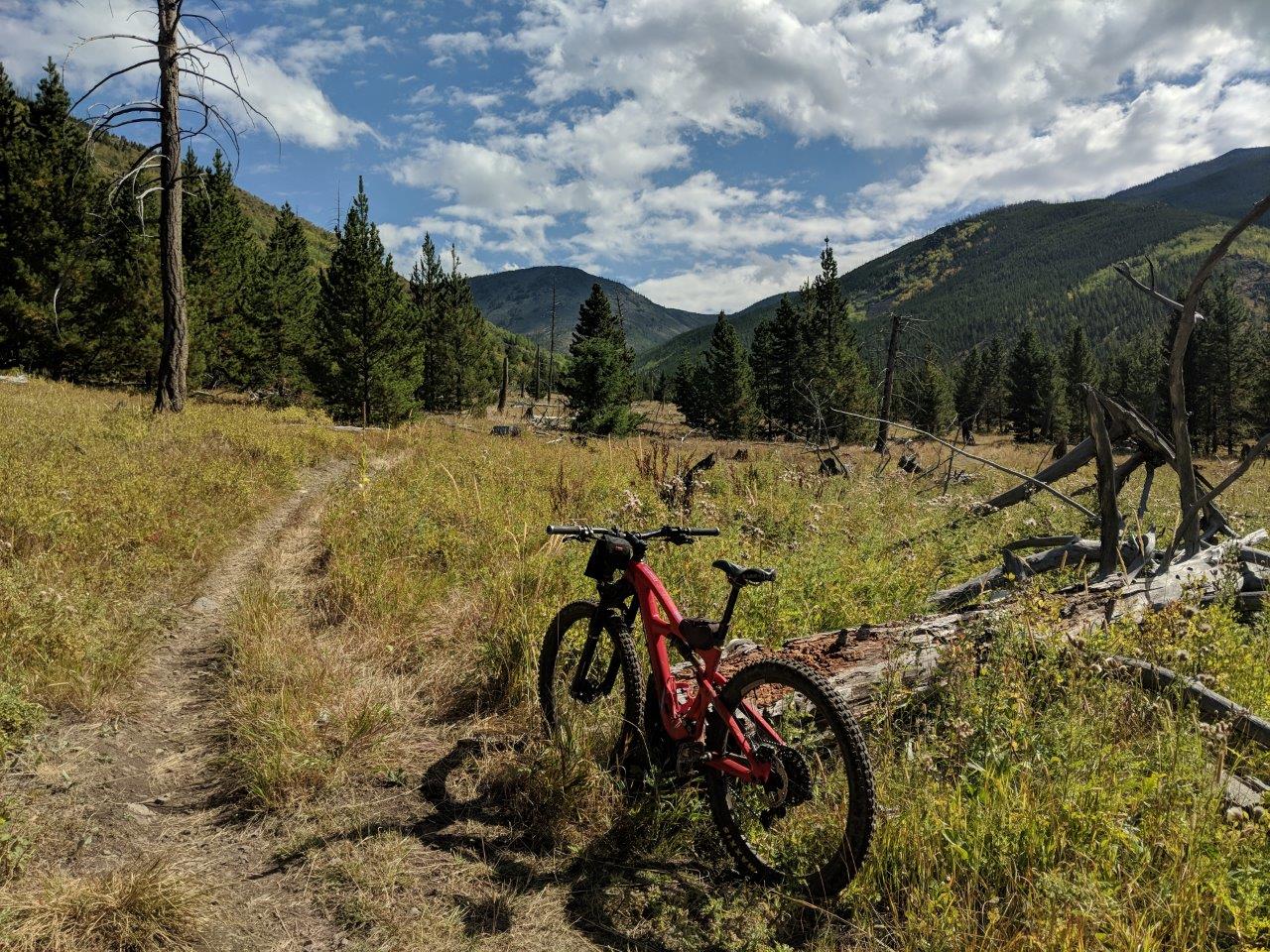
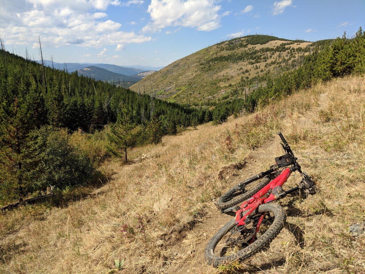
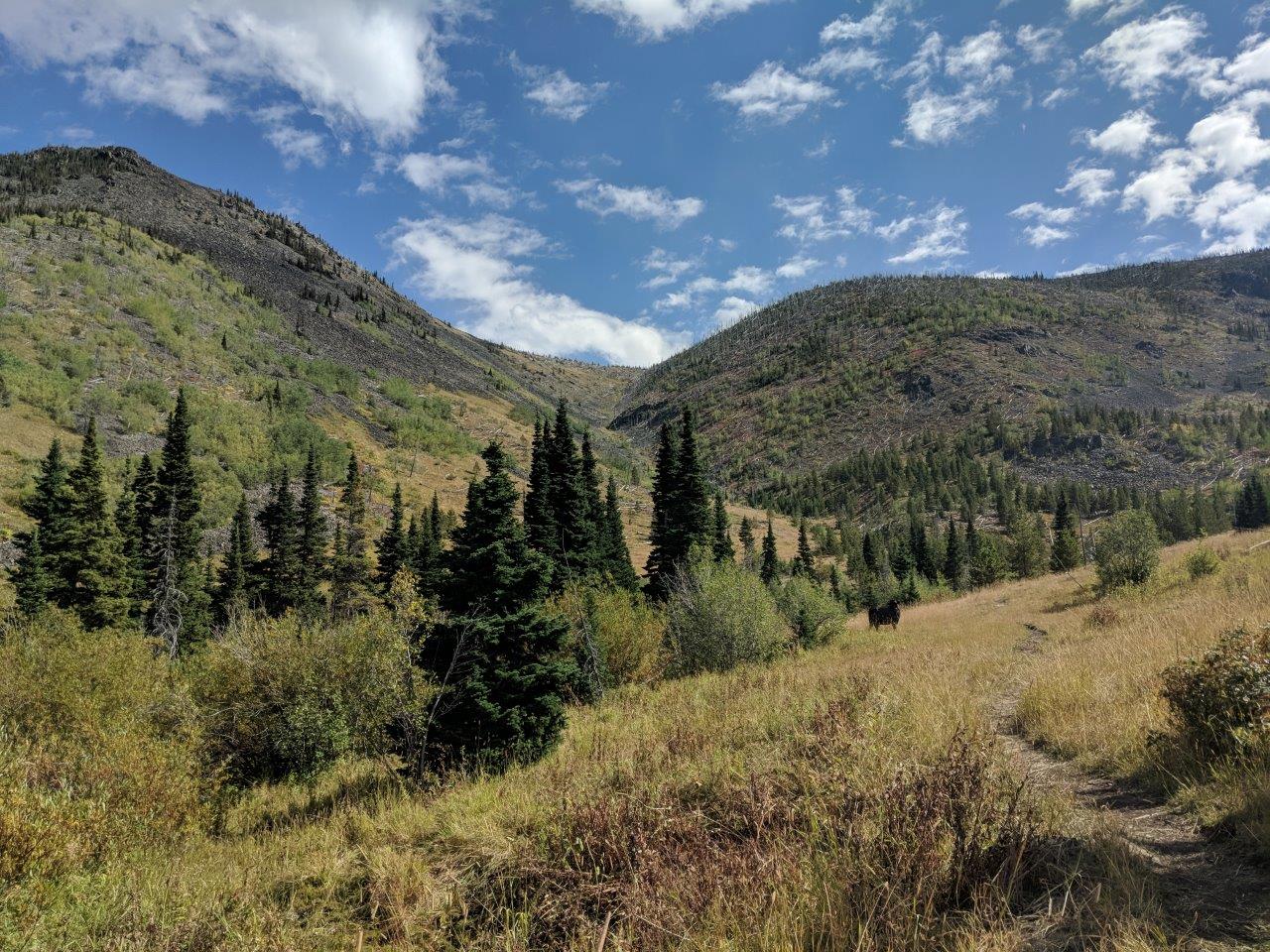
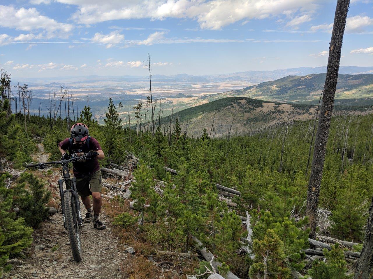
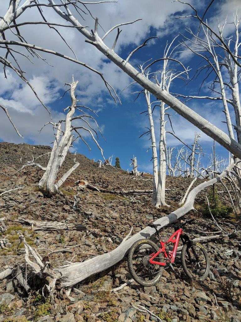
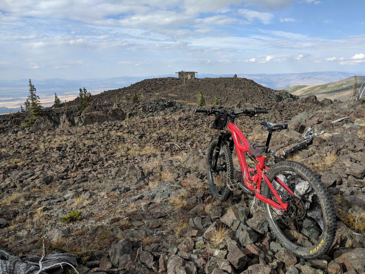
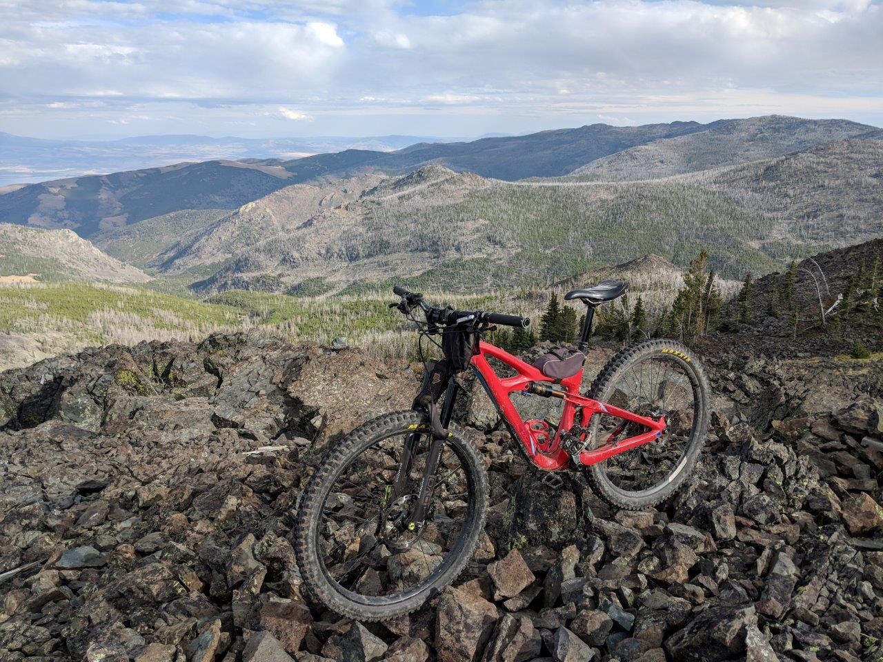
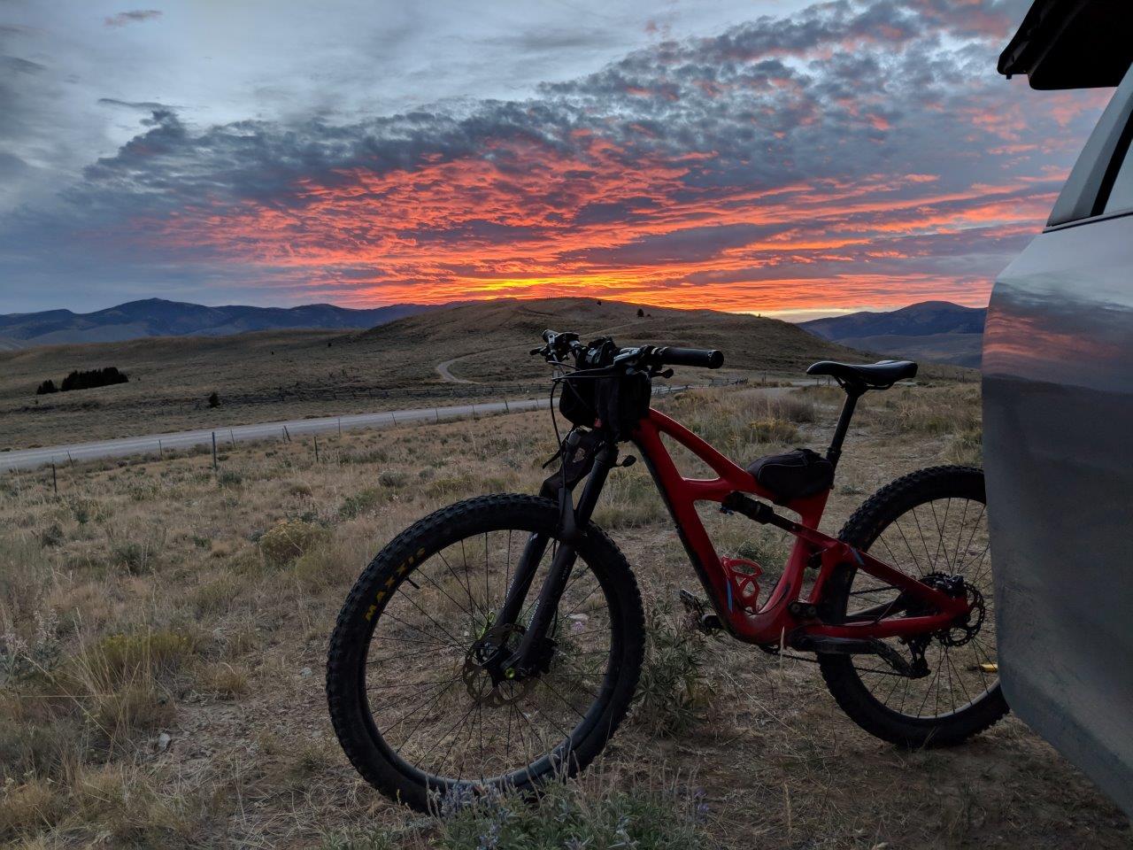
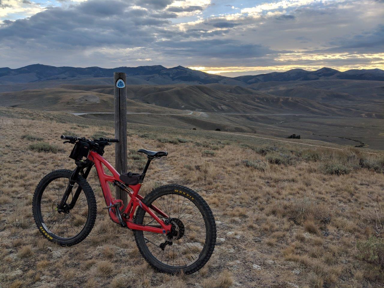
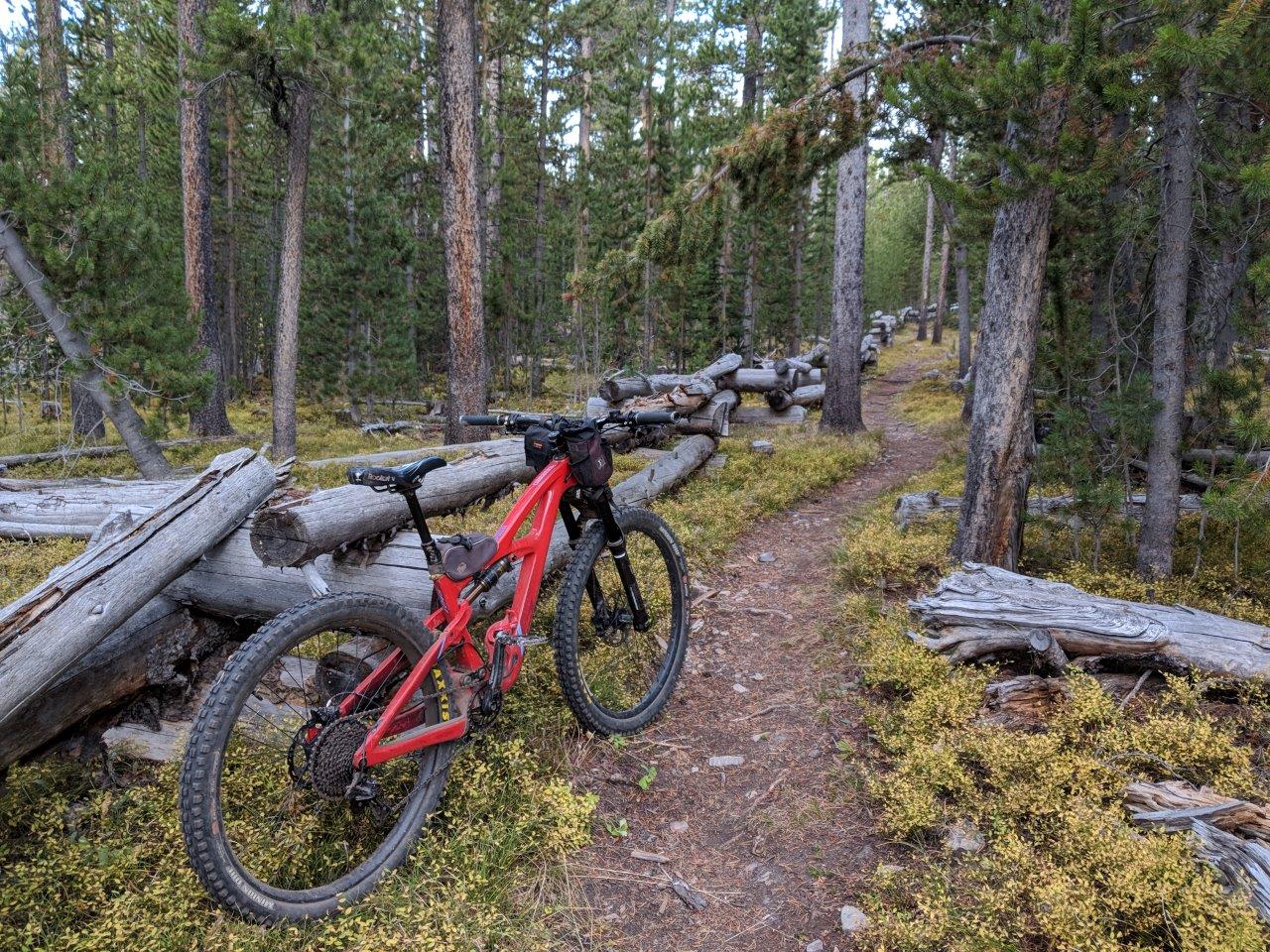
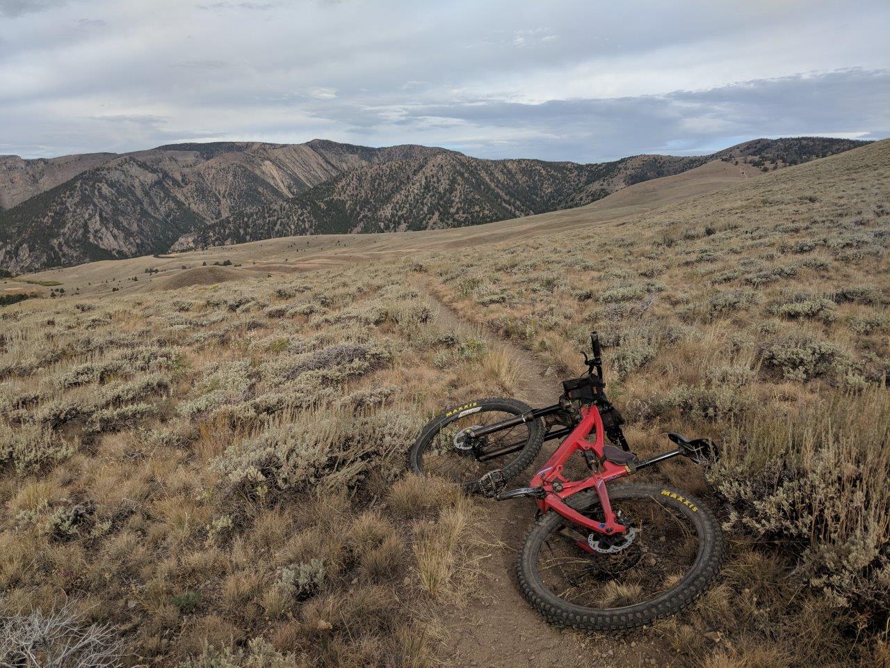
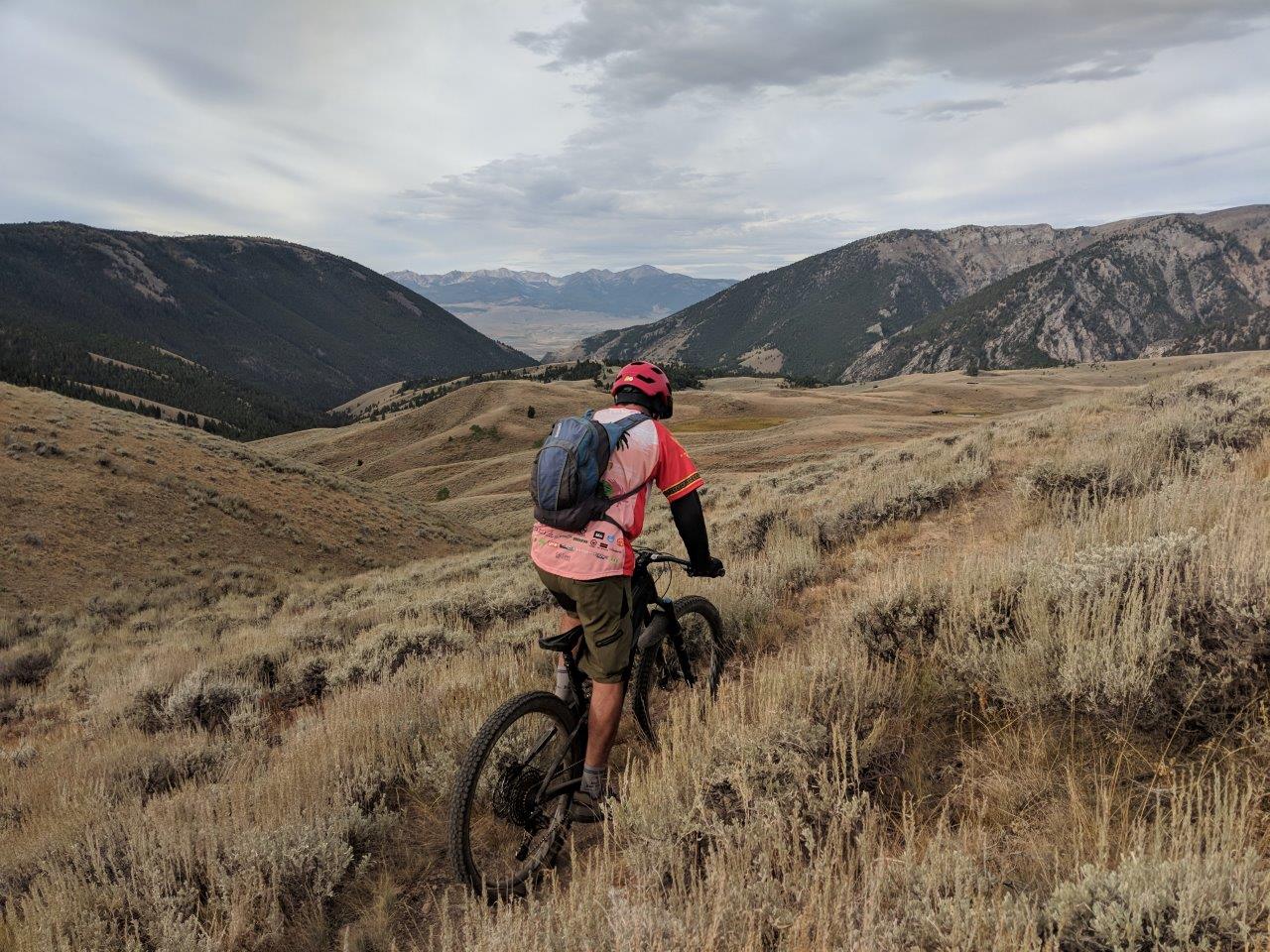
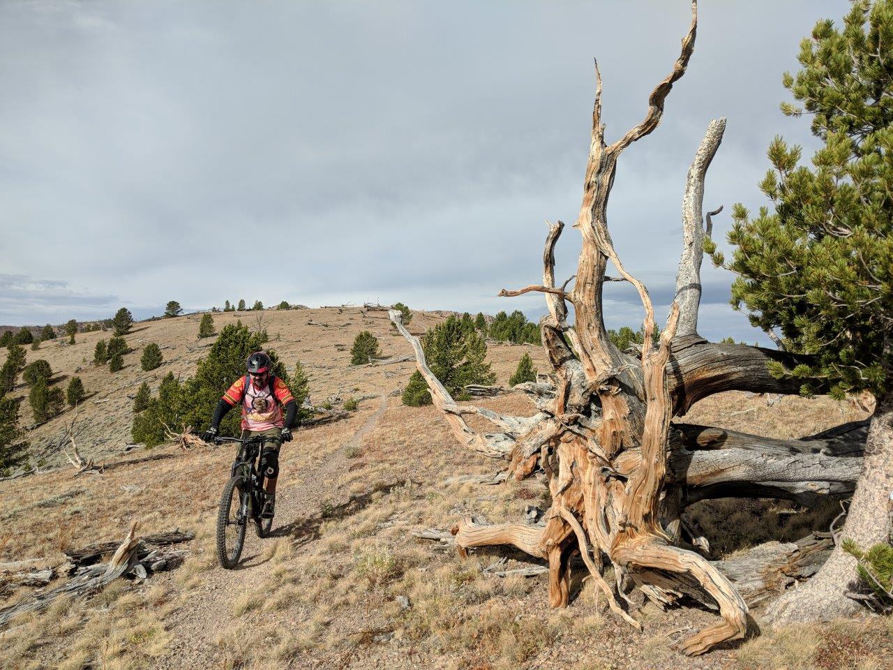
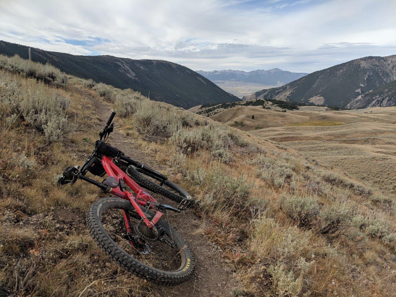
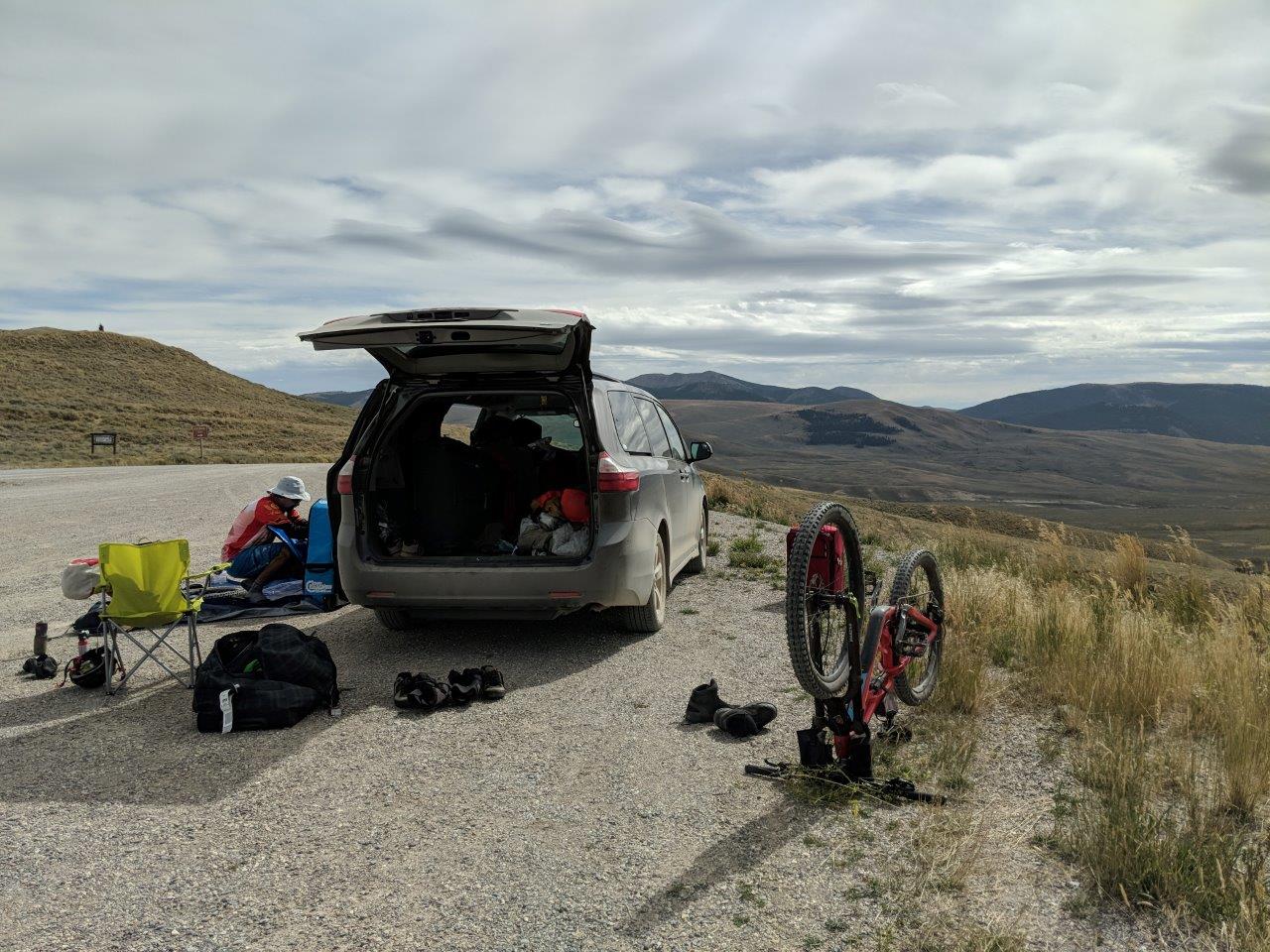
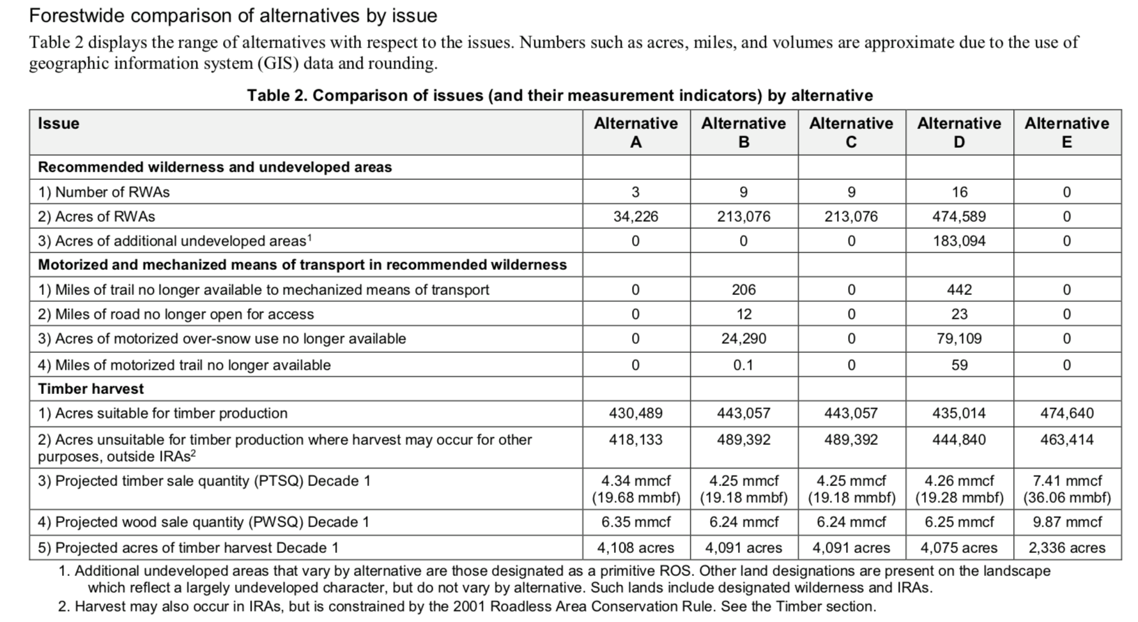
Fortunately this plan does offer something positive in that one of the alternatives under consideration would allow existing uses (bikes) to continue within Recommended Wilderness (RW). The trend up until now has been a movement toward managing RW and Wilderness Study Areas (WSAs) as if they are congressionally designated Wilderness, meaning a blanket ban on bikes. Wilderness and environmental groups are pushing to not only continue that trend but also prohibit bikes from what are categorized as "primitive" trails on the recreation opportunity spectrum. If successful that could ban bikes on backcountry trails outside of recommended wilderness and WSAs too, which would be a massive loss for of biking access. With RW and WSAs alone Montana bikers stand to lose access to around 440 miles of trail. Montana has the highest concentration of Wilderness groups in the US many of which consist of out of state people raising out of state money to kick Montana locals off their own trails. You can bet the wildernuts will be writing letters in force. That is why we need MTBers from all over to write letters in support of bike access. Comment deadline is Oct. 9, 2018! Submit comments at the link below. A sample letter you can cut and paste is below (please personalize it a bit, it makes a difference how it is counted): https://cara.ecosystem-management.org/P ... ject=44589 For some bedtime reading here is a link to the draft environmental report: https://www.fs.usda.gov/detail/hlcnf/la ... prd3798801 The Wilderness groups are pushing for alternative D which will close another 442 miles of trail. B would be bad too. A & E are not really options that will happen. This is not all or nothing for any of these choices, the final decision will include elements of each alternative which is why it is important to make specific asks. 
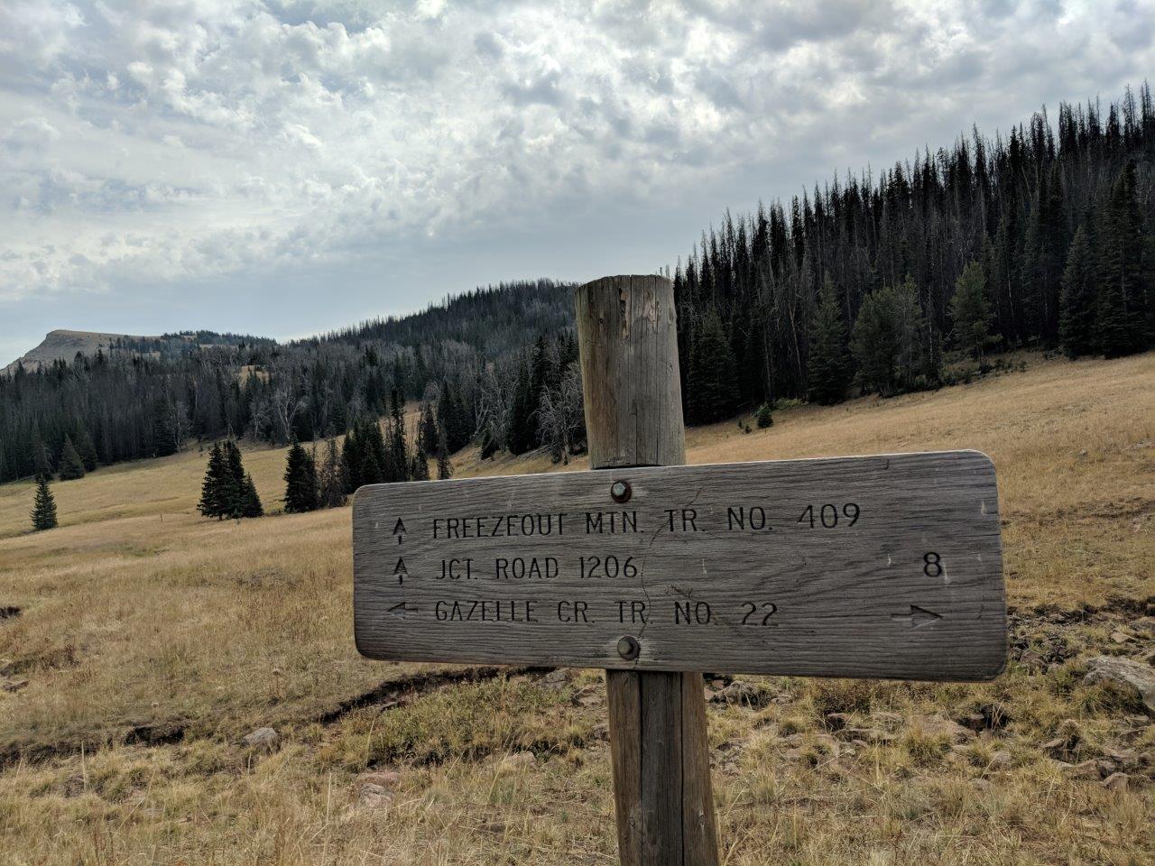
The preferred alternative for bikes is Alternative C, but specifying that bikes maintain access in the Elkhorn Mountains near Helena is important because currently all alternatives propose to ban bikes there "based on public feedback" (there were 3 no bikes comments in the initial comment period). SAMPLE LETTER: Quote: Dear Forest Service, I frequently travel to destinations in the United States to mountain bike and hike. 
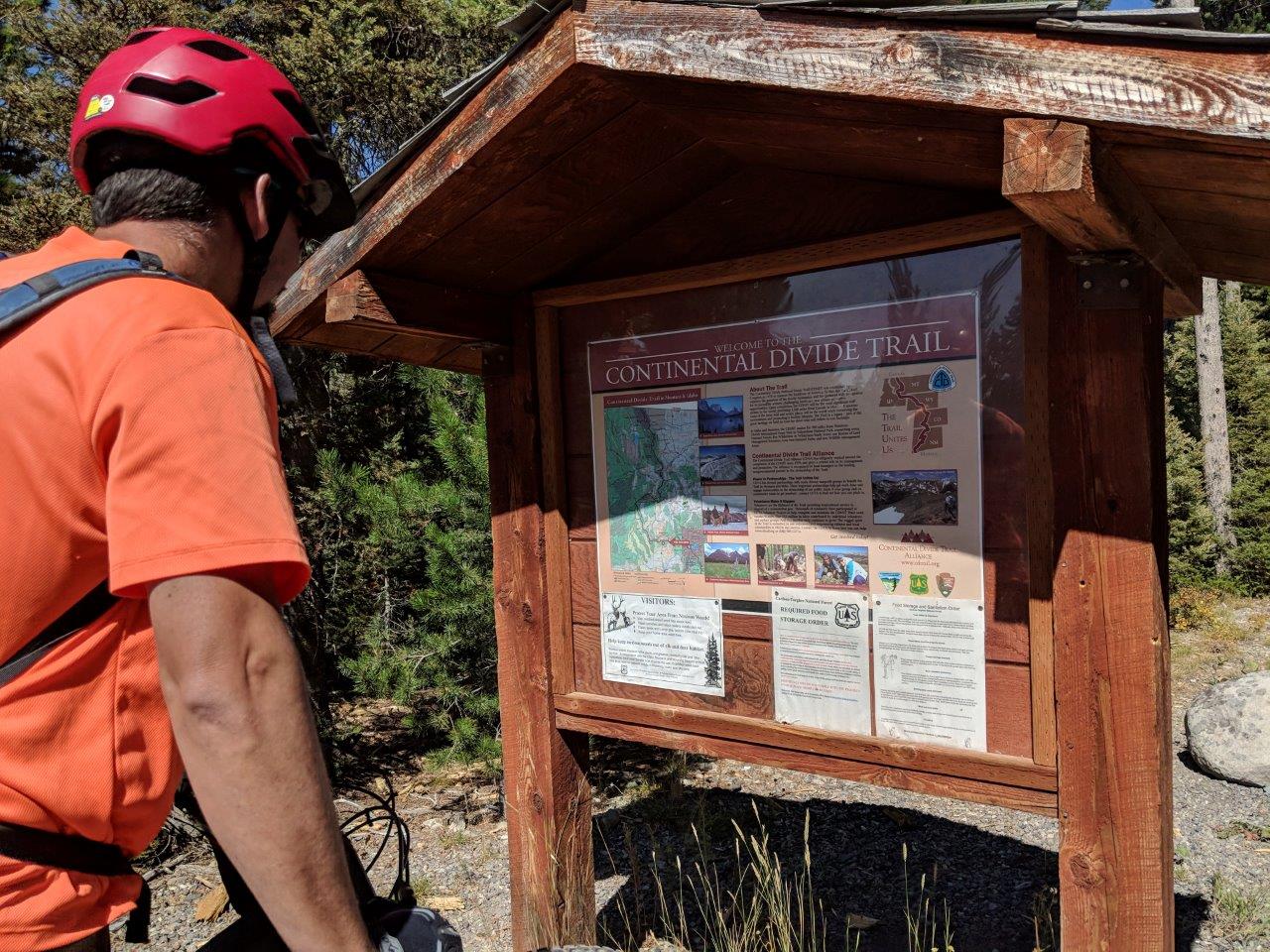
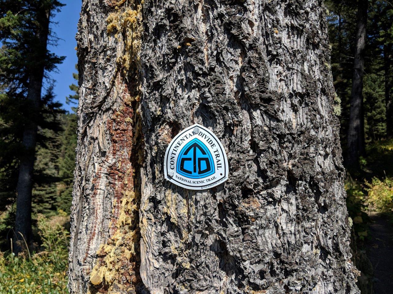
While visiting these regions, I support local business including lodging, restaurant, breweries, and retail. I am very interested in visiting Montana for a mountain bike vacation. I support Alternative C in the Draft Environmental Impact Statement (DEIS) of the Helena Lewis and Clark National Forest (HLCNF) Forest Planning Process, with the exception that Alternative C be amended to drop The Elkhorn Core proposal from the DEIS. This area has some great backcountry trails that see low to moderate use from all user groups, and bicycle access to the area is appropriate and should continue to be allowed. It is important that backcountry riding opportunities such as this remain open to mountain bikes for the tourism economy of the Helena region. Additionally, all sections of Continental Divide Trail outside of Wilderness Areas designated by Congress, should remain open to mountain bikes allowing for multi-day bike packing and remote riding experiences. Bicycle access should be allowed in Recommended Wilderness and Wilderness Study areas and on trails designated as "primitive" in the recreation opportunity spectrum, because bike usage on backcountry trails is low enough that it will not affect the wilderness character of these areas, but represents an important recreational opportunity for the cyclists who do visit those rugged and challenging trails. Thank you, Thanks in advance! |
Author: | evdog [ Tue Oct 02, 2018 12:29 pm ] |
Post subject: | Re: TR - Montana Trip 2018 |
Trip Report: I had been wanting to sneak in a quick Montana trip this summer to hit up a few favorite rides from past years – Bridger in Montana, Lionhead, etc. When a judge unexpectedly opened some Wilderness Study Area trails to MTB this summer thoughts turned to a longer trip to take advantage. Unfortunately the wildernuts filed a complaint to that judge who then ruled the trails weren’t open to bikes after all. Change of plans was to ride some other trails whose bike access is also threatened. Sadly there seems to be no shortage of those in MT. After considering options we flew into SLC and opted to ride Wasatch Crest since it would be “shorter” (haha) and give us more time to get some errands done. Last time I did this ride I started from Mill Creek Canyon. That trail is open to bikes on alternate days (not today) and Big Cottonwood Canyon was closed for a race, so we headed around to Park City to start. That was fine with me and I was looking forward to some new trail on that side. Day 1 – Wasatch Crest Bike build session in the resort parking lot. Ignore the fact I’ve rotated my fork the wrong way, that’s the new style We got about ½ mile and a couple short descents when I realized something was wrong with my front brake. It would have pressure but with a second or so sustained pull pressure would completely dissipate to nothing. Release, pressure would return but disappear again. I’d just bled brakes so there was something wrong. Decided to re-bleed at the van and/or go to a shop and meet up with 406 higher on the mountain. Found the local shop mechanic asleep, had to wake him up. Turned out fluid was leaking in between the inner brake sleeve and outer housing. All I can figure is the handlebar got yanked on during airline transit and it pulled the hose out of the lever slightly. So, in the interest of time just bought a new front brake and installed it. Now to meet up with 406. Drove up Guardsman pass. Not sure what was going but on there were a million cars parked both sides of the road but didn’t see any hikers on the trail. Ran into fall colors right away on Scotts connector. Fortunately there was coverage and was able to connect with 406 right at the start of the crest singletrack. Perfect. The scenery delivers. I rode the loop the opposite direction last time so was looking forward to riding it the “right” way Aspen tunnel Nice view of Desolation Lake 406 riding the gnar line Nothing ruins a good photo more than an E-biker hiking his bike down the smooth go round Dear E-biker, Continuing on… We still had a long ways to go so didn’t stop much to enjoy the views. Continued on around Mid mountain A bit of footage of different parts of the ride. Won't embed? https://www.pinkbike.com/video/493042 It was already getting close to sunset when we got to the turnoff. 406 just had to head downhill but I had about 6 mi of climbing left to get back to the van. The downside of our plan. In retrospect should have rode down and then caught an Uber back to the pass but didn’t consider that. Took a couple hours to make the climb which made for a late night with still some driving to do. Fun ride, need to spend some more time in Park City / SLC one of these times. Stats were around 34mi and +/- 5,000ft |
Author: | tfitz [ Tue Oct 02, 2018 12:44 pm ] |
Post subject: | Re: TR - Montana Trip 2018 |
Thank you. My brother had a problem with his rear brake last week so we stuck some wood I had whittled down in between the pad and piston. I had brought my back up bike with spare brakes but didn’t think of housing so he said he is trashing the hydraulic and going mechanical. We were too far from a shop. |
Author: | evdog [ Tue Oct 02, 2018 1:26 pm ] |
Post subject: | Re: TR - Montana Trip 2018 |
Day 2 – Continental Divide Trail in Centennial Mountains With some delays to do shopping and traverse some secondary and dirt roads we didn’t get riding until well after noon. I didn’t have a good picture of what this ride would be like as the reports I’d read from this mountain range made it hard to pin down the actual route. 406 had done the research on this one. Now that we’ve been here we’ll know more for next time. The real reason 406 got an invite for the trip Nice trailhead kiosk CDT There was some nice singletrack through the trees after the first lung-buster climb Which brought us to a nice meadow that offered a peek at some peaks in the distance Stopping to take in the view. Our goal for the day was the distant peak on the right. Yeah, it looks pretty far off After some nice meadow riding we came to this crossing. Most of the crossings we’d come to had bridges The trail couldn’t decide if it wanted to be in Idaho or Montana Awesome views opened up at the top of this climb And the trail got faint through some of the meadows. At more than a few points we’d be on what seemed like the trail then see another line 10-20 feet up that was more worn in Pano view Good viewpoint That distant peak isn’t so distant now… Final climb 406 reaching the last cairn Our original goal was the peak in the center of the photo. But with the late start and 2,000ft more climbing this would have us ending the ride through prime grizz country in the dark. Finishing in the dark has never phased us but maybe in our old age we are getting wiser, so safety won out. The view north off the peak would have been awesome, but this view here was nothing to complain about. And you always need a reason to come back, right? Some footage of the descent back to trailhead: Part 1 - https://www.pinkbike.com/video/492983/ Part 2 - https://www.pinkbike.com/video/492987/ A few people had said this was a good ride and it turned out to be true. Trail was in great shape for the most part which is as much as you can ask for in the backcountry. Stats - 18mi and +/- 3,000ft |
Author: | evdog [ Tue Oct 02, 2018 4:58 pm ] |
Post subject: | Re: TR - Montana Trip 2018 |
Day 3 – Lionhead Range, CDT to Targhee Creek Trail The Lionhead is another area in the sights of the wildernuts and may be the next Wilderness battleground as part of it is in a WSA. Wanting to do a couple rides in this range, we opted to do the easier CDT to Targhee Creek Trail loop first. Getting the scary part out of the way we started with a couple miles of pedaling up a busy highway with heavy truck traffic. Thanks, but I’d rather take my chances with the bears… Then we had a couple miles of easy forest road climbing which led to some nice singletrack It didn’t take long for views to open up We’d be doing a traverse around Bald Mtn so it was a constant backdrop Stopping for another break in the climbing Getting up there Views were incredible After a lunch break we had a 1000ft switchback descent down to the basin on the other side Some footage dropping down: https://www.pinkbike.com/video/493046/ A bit of traversing and some more climbing came next Sure bears can use the trail but someone should have warned us they’d be in our swimming holes too I had stopped after a short steep section to catch my breath when 406 called me over A dip in the lake would have been nice but present company may not have been welcoming Eventually he smelled us and wandered off Dropping into Targhee Creek trail It had some fun chunk and challenging switchbacks Widow maker And a bit of hike a bike to keep us honest Some footage of the fun parts - https://www.pinkbike.com/video/493063/ The last couple miles were a mellow cruise. After a post ride beer it was into West Yellowstone for dinner Definitely a fun ride. Next time I’d like to continue on up to the high point and check out Dry Fork trail. We saw its exit and the following day I’d see its upper start, and it looks like a legit trail. Stats - 21mi, +/- 4,000ft |
Author: | Dirt Mogul [ Wed Oct 03, 2018 9:26 am ] |
Post subject: | Re: TR - Montana Trip 2018 |
Amazing pictures and trail report! Thank you!!! |
Author: | Kimba [ Wed Oct 03, 2018 12:16 pm ] |
Post subject: | Re: TR - Montana Trip 2018 |
Epic TR! Thanks! |
Author: | evdog [ Wed Oct 03, 2018 12:34 pm ] |
Post subject: | Re: TR - Montana Trip 2018 |
Day 4 – Lionhead Range, Mile Creek to Sheep Creek We rode Mile to Sheep back in 2012 and despite getting rained on for half the ride this was on my list of top rides. So it was a must-do on this trip. You can ride it as a partial point to point shuttle or pedal 7 miles of dirt/pavement to close the loop. After I reminded 406 that it was his turn to do the road pedal to retrieve the truck he opted to sit this one out claiming knee pain. So I borrowed the bear spray and took off solo. Montana has terrible views The climb up was steady but not terrible. I did take plenty of stops to catch my breath and enjoy the scenery. The first climb would take me from 7,000ft to 10,000ft. After a long traverse up a canyon above Mile Creek there is a series of 30 or so switchbacks. As I get into those the views open up Making friends on the climb First intersection and top of Mile Creek Trail The high point, 10,000ft at Targhee Divide. On our first ride this was where the rain started and we had to decide whether to bail or continue on. There would be no such decision today, though it was cold and windy up top After a short descent there is a series of tight switchbacks through a field of unique straited rocks You can see the trail exit far below Awesome view. I stopped for a while and took it all in No bears at the swimming hole so I continued on. The trail flows a lot better this direction with a solid 2,500ft of traversing and descending Some footage of the descent starting from the top: https://www.pinkbike.com/video/493099/ Getting to the Coffin Lakes turnoff I met my first trail users for the day The climb up is fairly steep but has some nice parts as well It follows a stream for a while which added to the scenery but also concern over bears since there had been a few fresh “reminders” left on the trail Above the Coffin lakes turnoff the trail is much less used. Some sections traversing open slopes were quite overgrown. I actually came across a hiker here who was day hiking from camp at Coffin Lakes. He was as surprised to see me as I was to see him. In this meadow in particular the trail was hard to follow. Easy to see here but lower down it wasn’t visible at all Fresh pile Top of the climb was some nice forested singletrack. The ride ends down Sheep Creek Trail which is in a WSA and threatened for access. It’s a long descent with tough switchbacks up top and exits through a rocky canyon down below. It was a long day but a great ride, still in my top 5 or so rides. Get up there and do this ride if you get the chance! No pics once I started the descent but I ran the go-pro most of the way so here is some footage if you need something to do at work: Upper Sheep switchbacks don't look like much but they are tight turns on steep side slopes https://www.pinkbike.com/video/493106/: Lower Sheep part 1: https://www.pinkbike.com/video/493111/ Lower Sheep part 2: https://www.pinkbike.com/video/493117/ Post ride swim was in Earthquake Lake then back to West Yellowstone for BBQ dinner I think the stats were around 30mi and +/- 6,000ft |
Author: | k2rider [ Wed Oct 03, 2018 4:18 pm ] |
Post subject: | Re: TR - Montana Trip 2018 |
Great stuff as usual. I have a hard time turning off the constant thought of running into a huge mother bear and her cubs when I'm riding solo deep in the Wilderness. I'm not sure I could have did that last ride, bear spray or not. It doesn't bother much in Colorado for some reason but after seeing bears every day at Whistler, I was constantly freaking out on Comfortably Numb while riding it solo. After about 4 miles, I was sure I was going to end up dead and turned back. |
Author: | evdog [ Wed Oct 03, 2018 5:16 pm ] |
Post subject: | Re: TR - Montana Trip 2018 |
Day 5 – Wolverine Basin to Gazelle Creek Trail Wolverine Basin in the Gravelly Range is another ride where bike access is threatened due to WSA designation. Without the ability to shuttle we planned to loop the upper part and if the trail was good and we made good time, odd-man-out shuttle the lower few miles. Not much was known about the ride and it could have been a mess of downed trees, but fortunately it turned out to be a great ride. The ride wasn’t far from camp but we managed to see some wildlife on the drive over It was a fairly easy 7 mile road climb to the start with minimal road traffic Wolverine Basin. Not much there but some vacant hunting camps We started off climbing through the meadow The trail alternated between riding in trees and going through some small meadows As we continued on the meadows got larger and larger This was the biggest one and after passing through it we had some hike a bike up and over a ridge with a few false summits Looking back down This led to another huge meadow that descended down a valley for ages. We saw a lone hunter on this descent, the only trail user we’d see all day Climbing up to Freezeout Mtn might be a side detour option for another day Trail got pretty faint in a few places After traversing through forest for quite a while we ended up back in more meadows, with a nice view of the Madison Mtns this time 406 did the first odd-man-out lap down the lower trail and said it was ok but not great. Since we wouldn’t have time for another ride today I decided to give it a go. I thought it was awesome. Pretty buff and smooth, fast and fun. Definitely a contrast to the rest of the ride which would have made for a happy ending in a continuous run. Footage: Part 1 - https://www.pinkbike.com/video/493264/ Part 2 - https://www.pinkbike.com/video/493192/ Aftermath: After taking a stick off the shin the brush did a good job of making it look uglier than it was I definitely liked this ride and would do it again. If you are heading up to Bozeman it’s a pretty easy one to do, right off the highway. To do the full ride you’d probably want to shuttle, though you could easily climb up the lower singletrack for some bonus miles. Stats were 21 miles and +/- 3,000ft for the loop and another 1,000ft descent in 4 miles for the odd man out shuttle |
Author: | evdog [ Thu Oct 04, 2018 10:35 am ] |
Post subject: | Re: TR - Montana Trip 2018 |
Day 6 – Bridger Divide Bridger was my other must-do ride on this trip. Such awesome views and high mountain slope riding. Weather was looking a bit iffy but it seemed like the storm that should have come through afternoon/evening after the Wolverine ride petered out and the next one wouldn’t hit until we would be mostly done this ride. Drove up the road to Fairy Lake CG, it was a bit much for the rental van but we made it. We got woken up around 3am hearing footsteps outside the tents. Whatever it was ran off when 406 stirred but he didn't see what it was. Too noisy to be deer. I had to pee so got up too, and I could see numerous eyes reflecting off my headlamp from the next campsite. Too many eyes to be a big cat or bears. Mountain goats. They came back through our camp an hour later and I had to throw rocks at them to get them to move away. Soon after the goats left the skies opened up and it rained steady til 10am. Got out of tents to see snow capped peaks above us and the sound of falling rock from a number of directions. Thought our tent pad would be ok but turned out to be a bit of a low spot so things were a little wet. Took a while to set things up to dry and since the weather seemed to be holding the ride was a go. Trying to drive out on wet slippery road wasn’t a good option at this point anyways…. Trail connection right from camp to the Fairly Lake trail It is a stout climb right from camp with much HAB and not so much riding. But we sucked up a few short sections for the TR We got funny looks from the hikers as you do on these sort of rides. None seemed aware there was any trail up here aside from the one going to the peak. The wind picked up big time as we approached the saddle and made the decision for us to skip the peak, another 900ft gain over a mile or so with full exposure Adding some layers we pushed on south on the Bridger Foothills Trail Not a huge accumulation of snow but enough to make riding tricky by hiding loose rocks Soon we were back on clear ground As we got toward the first descent our tires started picking up mud. Should have known the trail up there would get a bit sticky when wet. It made for a few interesting moments and we had to walk down a couple slick sections, but mostly it was ok. 406 staring down the Devil’s Crotch. Yeah the sidehill was pretty steep with narrow trail. Definitely didn’t want to fall Switchbacks were mostly fun. This is a moto trail and some were a bit torn up which made things interesting Great views The trail stays high up on the valley wall for what seems like ages and then traverses along through the trees More moto damage than I remembered made switchbacks hard but otherwise it was mostly rideable Last time here we continued south and dropped down the west side down Truman Gulch. In addition to making for a heinous shuttle I thought the trail south of Ross Pass was kinda “meh”. So I was stoked to see a newer trail on Trailforks from Ross Pass heading back toward Fairy Lake. Footage of the descent on Bridger Foothill Trail and Ross Pass Trail: https://www.pinkbike.com/video/493885/ https://www.pinkbike.com/video/493886/ It turned out that Ross Pass Tr was not just a useful connector but also a hell of a lot of fun, good flow and no sustained climbing. It took us over to the Fairy Lake 500 “trail” which was actually old doubletrack, but not terrible for a 3mi / 1000ft climb back up to Fairy Lake. First time seeing Fairy Lake and I was impressed. Pretty nice It was a bit cold for a swim but fortunately our stuff had dried out, so we packed up and headed out toward the next ride. 406 found the only spot open for miles around in Two Dot MT. It was actually pretty good. Diviest dive bar I think I’ve ever been in. Would go there again. Stats - around 15mi and +/- 3,600ft |
Author: | evdog [ Thu Oct 04, 2018 1:52 pm ] |
Post subject: | Re: TR - Montana Trip 2018 |
Day 7 – Elkhorn Mountains – Helena Prior night we made the drive up to Big Snowy Mtns planning to do the Ice Caves ride. Roads had been a bit wet but we didn’t clue in that the trail might be too wet top ride. After getting up 406 realized that fact and since it was mostly cloudy the sun wouldn’t be much help to dry things out. Apparently the Ice Caves ride has some peanut butter dirt up top that wouldn’t we good to ride if wet. So we grudgingly changed plans and headed over to Helena. I didn’t know much about the Helena area except that the Elkhorns is another area threatened by closure to bikes, this time due to wildlife concerns. Apparently the USFS has thrown us a bone in that the management plan does include an option to allow bikes in the local WSA, but would ban them under all options from the Elkhorns due to wildlife concerns (yet they allow cattle grazing of course, go figure….) As we were about to start the ride 3 school buses came rolling down the road and stopped nearby, then 120 or so kids came hiking down the trail we were about to head up. So the trail user count was a bit skewed on this one. Since we saw zero people after that I’ll mark it zero. Climb started off easy through thick forest It soon opened up on Casey Meadows Trail and we got first views of today’s objective Casey Peak The climb up was steady and had enough rock to keep things interesting Did see a few trail users actually, all bovines Once on the Teepee Creek Trail things got delightfully rocky Lots of it was rideable with a few short pushes. But once we got onto the Casey Peak trail it was mostly HAB 406 does a short ride for the TR Getting serious Trail was pretty nice with almost no downed trees to this point We started getting more of those up top in an old burn area but most had been cut out. It got a bit hard to follow towards the top. There were some cairns which helped as the tread was rocky and faint, and braided around some downed trees. Got distracted by wild raspberries that were next to the trail too Almost there. Lost the trail through this rock field and just pushed cross country Views up top were great Pano shot looking north and NE Dropping in. What a fun descent. A bit of painful climbing as we continued west on Teepee Creek Trail then it was all downhill. Fun chunky riding up top and fast buff singletrack lower down. Video sampler of the descent: https://www.pinkbike.com/video/493891/ https://www.pinkbike.com/video/493893/ Headed south after the ride with a pit stop in Butte for 50cent Rainiers Stats - ~12miles and +/- 3,600ft |
Author: | evdog [ Thu Oct 04, 2018 6:08 pm ] |
Post subject: | Re: TR - Montana Trip 2018 |
Day 8 – CDT Bannock Pass The original plan had been to head back to SLC Friday night and do a ride there which would leave plenty of time to drop 406 at the airport Saturday night. But we decided to get one more MT ride in instead since it’s harder to get up there and SLC is an easy trip. We had everything timed out with a one-hour cushion in case anything went wrong (like me being slow). But were a little late getting started at first light. I need to get up for sunrise more often Looking back down to Bannock Pass The singletrack was pretty nice grade most of the way Fence more or less divides ID from MT Crossing to the other side now Eventually we emerge from the trees and traverse some open hillsides Views open up to the west The ride was basically two main climbs separated by one descent. We wouldn’t make it all the way to Goat Mtn which was another descent and climb away, but where we stopped had good views and was a logical turn around. Trail that continued on was enticing though…. Interesting wood, reminds me of the ancient bristlecone forest on White Mtn here in Socal Riding back went pretty quick. 406 powered on ahead since he had to disassemble the bike Footage: A bit from the ride out and some from the ride back - https://www.pinkbike.com/video/493899/ More from the ride back - https://www.pinkbike.com/video/493896/ He was half done when I rolled in. My only job was to down the post-ride beer A hunter pulled up and handed us each a bud, hoping for good karma in his hunt. Who are we to say no, but we at least waited til we were on the Idaho side to drink it. Since we made good time we had time for a swim and found a good swimming hole down in the valley below. Cold water but not the worst for the trip Getting a swim in was nice but also had time for side trip to REI and quick dinner before heading to the airport. After dropping 406 off I headed to a car wash to clean out the van and get more or less packed up myself. Stats for the day I think were around 20mi and +/- 2,000ft |
Author: | Kimba [ Thu Oct 04, 2018 6:54 pm ] |
Post subject: | Re: TR - Montana Trip 2018 |
Your TRs remind that there is so much more out there. I, as well as lots of people I know, don't venture far past So Cal or the SW US for riding. Thanks! |
Author: | OldDogDan [ Thu Oct 04, 2018 7:24 pm ] |
Post subject: | Re: TR - Montana Trip 2018 |
Another incomparable TR from off the beaten path. Thank you. Gotta ask though, did you not try Muzzy’s famous Wop Chop? It was Evel Knievel’s favorite. |
Page 1 of 2 | All times are UTC - 8 hours [ DST ] |
Powered by phpBB® Forum Software © phpBB Group http://www.phpbb.com/ |